Parking
Begin at Hayfield bus station; the signed trail entrance is just beyond the public toilet block, toward New Mills. Current car-park location, capacity and fees were not verified.
Peak District National Park, EN
An easy former-railway path linking Hayfield and New Mills.
Overview
Map & elevation
Plan your hike

The highest, rockiest slopes around here are a summer buffet for grizzly bears.
Peak District Tour Guide
Parkwolf is a GPS audio tour guide for Peak District National Park. As you drive, it chimes in with what’s ahead: hidden gems, upcoming stops, history, geology, and wildlife, right through your car’s speakers.
Recorded for this trailhead
Sett Valley Trail from Hayfield“You're approaching the Sett Valley Trail at Hayfield, an easy former railway path to New Mills.”
Plays as you drive up to this trailhead in the Parkwolf Peak District Tour Guide.
More stories near here in the app
“Fantastic app with many points of information… It’s great to just turn on while you’re driving and it gives you an audio tour of the national Park. We love it!!!!”


Trail guide
The Sett Valley Trail is a 2.5-mile, one-way shared-use path between Hayfield and New Mills, following a former single-track railway. It is a level, low-effort way through the valley rather than a viewpoint hike. Allow about 75 minutes on foot each way; retracing makes a roughly five-mile return. The 8.1-mile Hayfield circuit is a different walk that leaves the trail and returns by countryside paths and lanes.
The railway opened in 1868 and closed in 1970; its corridor is now a traffic-free route for walkers, cyclists and horse riders. Expect several gates and two road crossings. Most of the walk is straightforward, but it is a shared path, not a walkers-only track. The New Mills end reaches St George's Road.
Begin at Hayfield bus station; the signed entry to the trail is just beyond the public toilet block, toward New Mills. This is point-to-point, so arrange a return or walk back. Current parking capacity and fees, and the dog rule, could not be confirmed.
Wildlife
 248 sightingsRed DeerMost seen around 7 AMSighting map
 36 sightingsRed FoxMost seen around 6 AMSighting map
 15 sightingsEurasian OtterMost seen around 7 PMSighting map
 51 sightingsPeregrine FalconMost seen around 6 PMSighting map
 47 sightingsEuropean Fallow DeerMost seen around 6 AMSighting map
 54 sightingsWestern Roe DeerMost seen around 7 PMSighting map
Sighting maps show where each species has been reported across Peak District. Wildlife moves, so no sighting is guaranteed.
Keep exploring
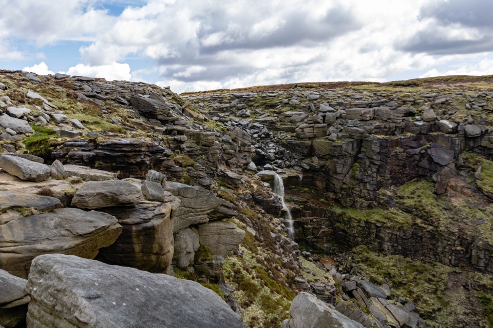 ChallengingKinder Scout Mass Trespass Walk13.7 km · 5.5 hr · 1.3 km awayA historic climb to the plateau, waterfall and big Dark Peak views.
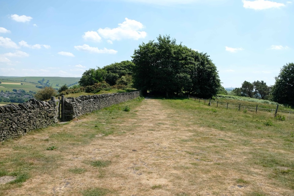 ChallengingGritstone Trail56.3 km · 18.5 hr · 6.7 km awayA 35-mile gritstone ridge route from Disley to Kidsgrove.
 ChallengingHigher Shelf Stones and Bleaklow B-29 Crash Site Circular9.3 km · 3.5 hr · 7.9 km awayHigh moor, a poignant wreck site, and a route that demands attention.
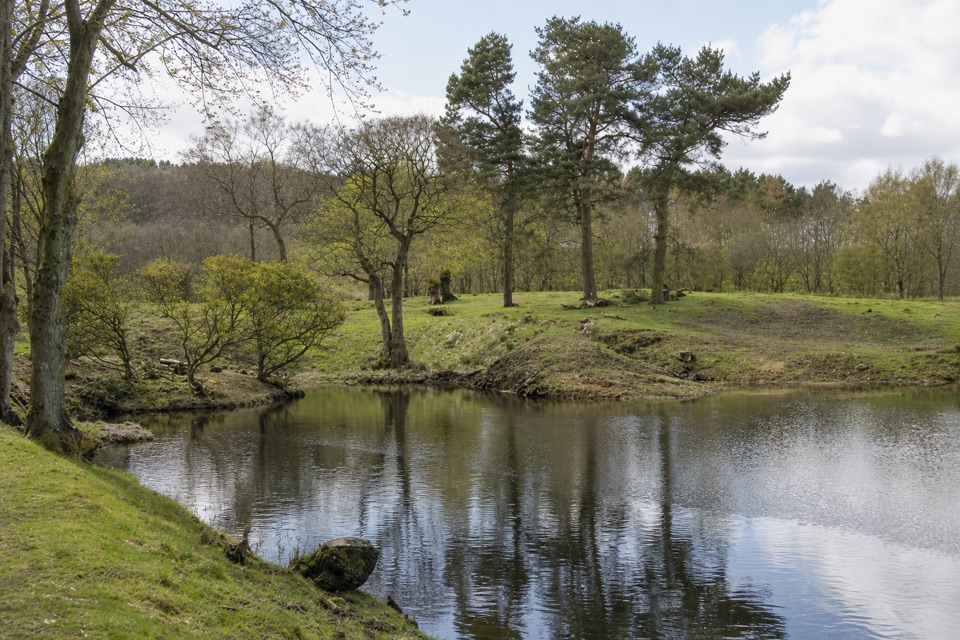 ModerateLime Avenue Ponds Walk3.2 km · 1 hr · 8.4 km awayRestored ponds and a tree-lined avenue on a short estate loop.
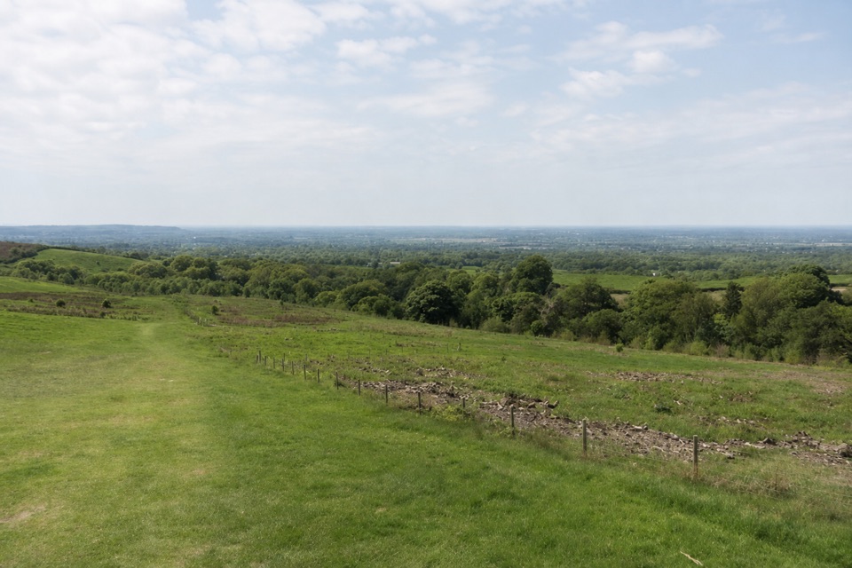 EasyPaddock Cottage Walk3.3 km · 1 hr · 8.5 km awayA meadow and beech wood lead to a cottage above Cheshire.
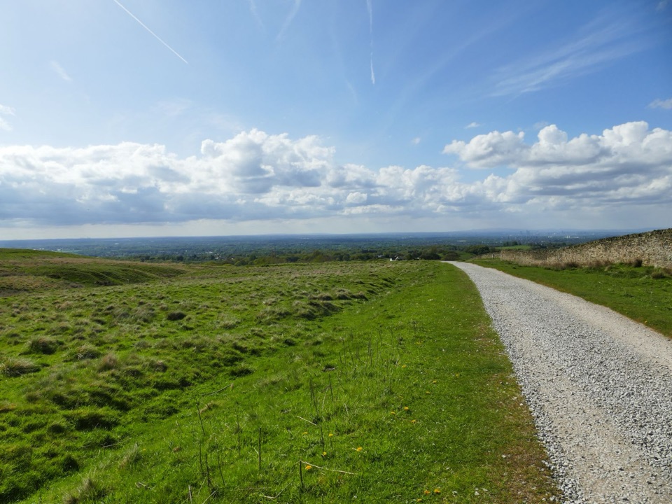 EasyLyme Park Miles Without Stiles3.2 km · 1 hr · 8.5 km awayA gentle surfaced walk to Lyme's deer-sanctuary views
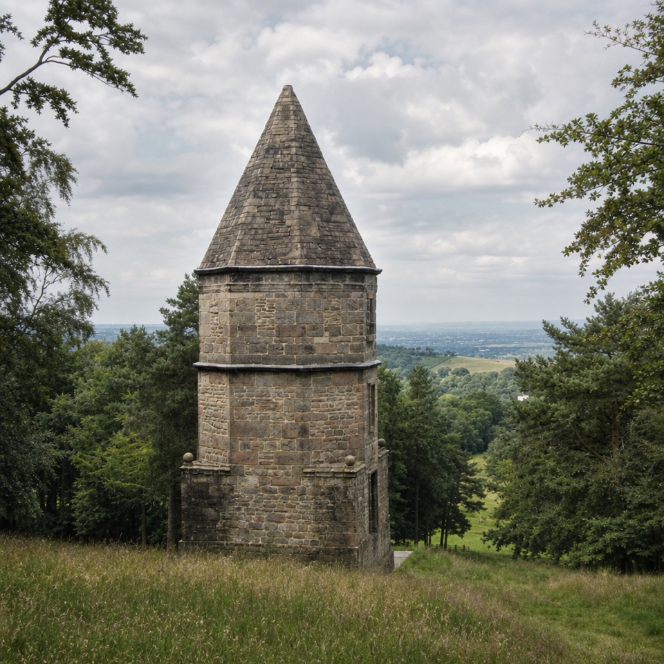 ModerateA Walk to the Lantern at Lyme2.7 km · 1.5 hr · 8.5 km awayA short uphill loop to a stone tower and Cheshire views.
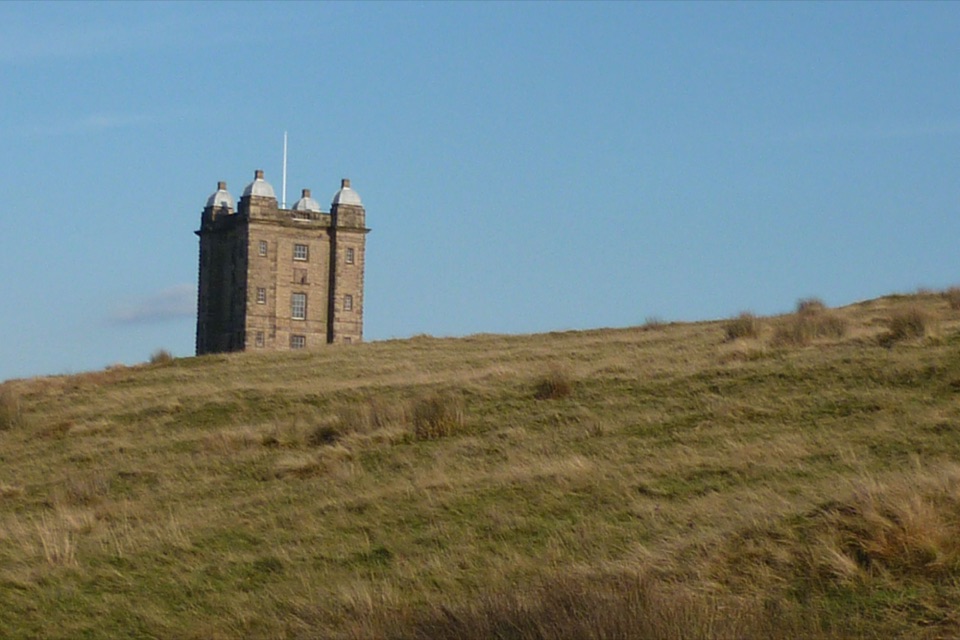 EasyA Walk to The Cage at Lyme1.9 km · 45 min · 8.6 km awayA steep little climb opens two big horizons from The Cage.
 Sight · 4.9 km awayKinder ScoutWindswept 636 m gritstone plateau with tors, peat and long views
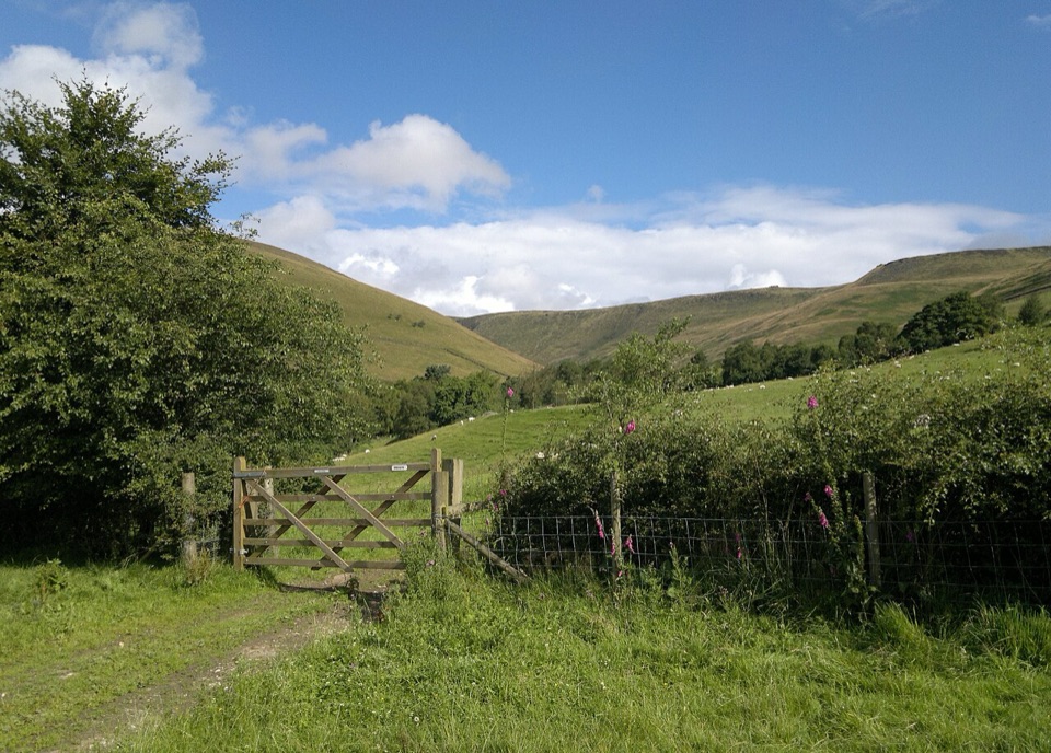 Campground · 6.8 km awayUpper Booth Farm CampsiteQuiet car-free camping fields below Kinder on the Pennine Way
 Sight · 8.5 km awayLyme ParkRegency house, reflecting lake and 1,400 acres of moor and deer
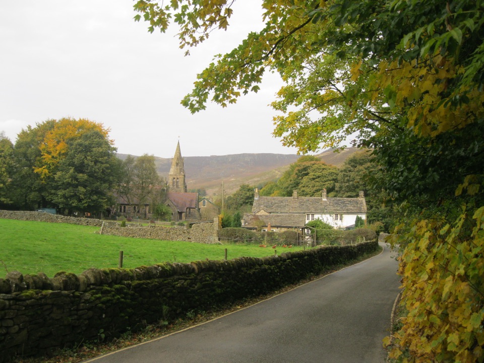 Sight · 8.8 km awayEdaleWhere the Pennine Way begins, beneath Kinder Scout's brooding moorland
 Sight · 9.6 km awayBleaklow B-29 Superfortress Crash SiteScattered bomber wreckage and a memorial deep on open moorland
 Sight · 9.7 km awayMam TorShort steep climb to a hillfort summit above the Hope Valley
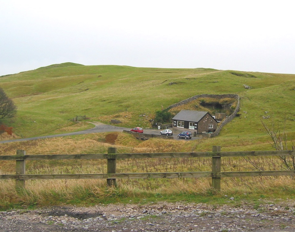 Sight · 10.3 km awayBlue John CavernHand-mined caverns holding eight of the world's fifteen Blue John veins
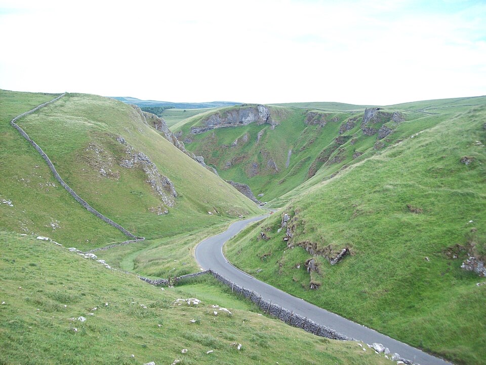 Sight · 10.6 km awayWinnats PassA narrow road plunges through towering limestone walls west of Castleton
Parkwolf’s Peak District ranking
 The Roaches and Lud’s Church Circular from Hen CloudModerate · 12.2 km
 Mam Tor Circular WalkModerate · 4.8 km
 Castleton, Mam Tor & the Great Ridge WalkModerate · 10.5 km
 Stanage Edge from HathersageModerate · 10.6 km
 Kinder Scout Circular via Jacob’s LadderChallenging · 12.1 km
 Padley Gorge and Burbage Brook WalkEasy · 3.7 km
The audio tour guide for the drive, plus offline maps, trails, and wildlife heatmaps for when the signal drops.