Parking
Topley Pike layby on the A6; free parking with no toilets or height restriction.
Peak District National Park, EN
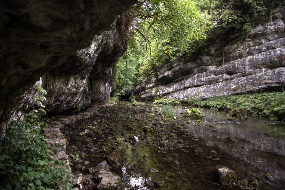
Stepping stones trace the River Wye beneath towering limestone cliffs.
Overview
This is a roughly 4.3-mile (6.9 km) loop from Topley Pike layby, descending to the River Wye and Chee Dale before climbing to open farmland and returning across the White Peak. Allow about 2½ to 3 hours at an unhurried pace. The route starts beside the Monsal Trail corridor, but this is a separate circuit: its gorge path and farm return make it more varied than a simple out-and-back.
Map & elevation
Plan your hike

The highest, rockiest slopes around here are a summer buffet for grizzly bears.
Peak District Tour Guide
Parkwolf is a GPS audio tour guide for Peak District National Park. As you drive, it chimes in with what’s ahead: hidden gems, upcoming stops, history, geology, and wildlife, right through your car’s speakers.
Recorded for this trailhead
Chee Dale Stepping Stones from Topley Pike“You're nearing the Topley Pike start for Chee Dale, where stepping stones run along the River Wye beneath an overhanging limestone cliff.”
Plays as you drive up to this trailhead in the Parkwolf Peak District Tour Guide.
More stories near here in the app
“Fantastic app with many points of information… It’s great to just turn on while you’re driving and it gives you an audio tour of the national Park. We love it!!!!”


Trail guide
The gorge narrows around the River Wye, with high limestone walls and stretches of path pressed close to the water. The famous stepping stones follow the river’s edge; they do not cross it. Look for layered limestone, old stone bridges and viaduct arches overhead, and dippers along the river when conditions are quiet. After the gorge, the route reaches an old railway bridge and leaves the valley.
Beyond the gorge, expect an open, hilly leg across fields typical of the White Peak. The route passes Beech Croft Farm on its way back to Topley Pike, with gates and stiles and a steady climb that feels very different from the enclosed river section. A café is listed at Beech Croft Farm, but check its opening times before counting on a stop. The start layby is free and has no toilets; no other facilities are verified on this loop.
The gorge is the demanding part. Polished limestone gets very slippery, and you will scramble up and down rough rock steps close to the river. High water can make the stepping-stone path impassable, and there may be no useful bypass along the river edge; choose safer weather or another walk if water is high. The fields add mud and uneven ground after prolonged rain. Expect steep drops beside the river and take particular care on wet rock. Dog restrictions specific to the gorge path have not been confirmed, so check local signs.
Wildlife
 248 sightingsRed DeerMost seen around 7 AMSighting map
 36 sightingsRed FoxMost seen around 6 AMSighting map
 15 sightingsEurasian OtterMost seen around 7 PMSighting map
 51 sightingsPeregrine FalconMost seen around 6 PMSighting map
 47 sightingsEuropean Fallow DeerMost seen around 6 AMSighting map
 54 sightingsWestern Roe DeerMost seen around 7 PMSighting map
Sighting maps show where each species has been reported across Peak District. Wildlife moves, so no sighting is guaranteed.
Keep exploring
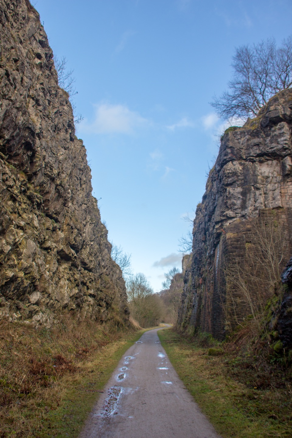 EasyMonsal Trail13.7 km · 3.5 hr · 0.1 km awayA level old railway, lined with limestone dales, viaducts, and tunnels.
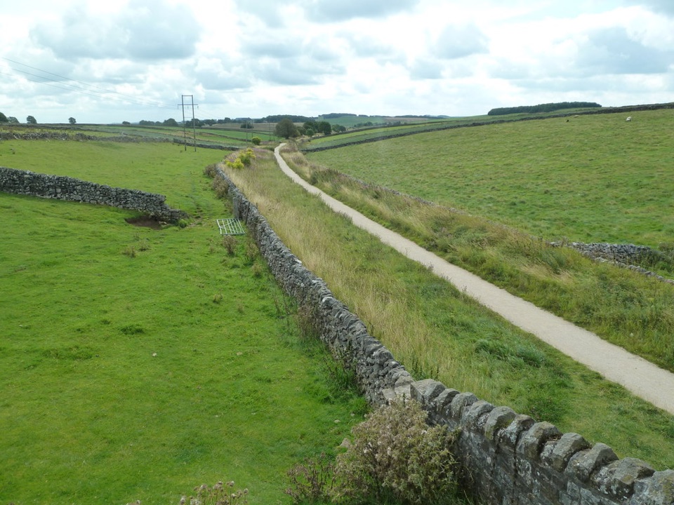 ModerateHigh Peak Trail28.2 km · 8 hr · 4.8 km awayTrace the old railway in one long crossing of the White Peak.
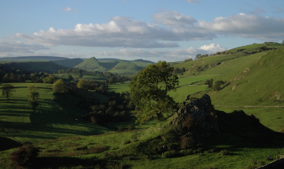 ModerateLongnor to Pilsbury Castle9.5 km · 3.5 hr · 8 km awayA castle-earthwork loop through the Upper Dove Valley
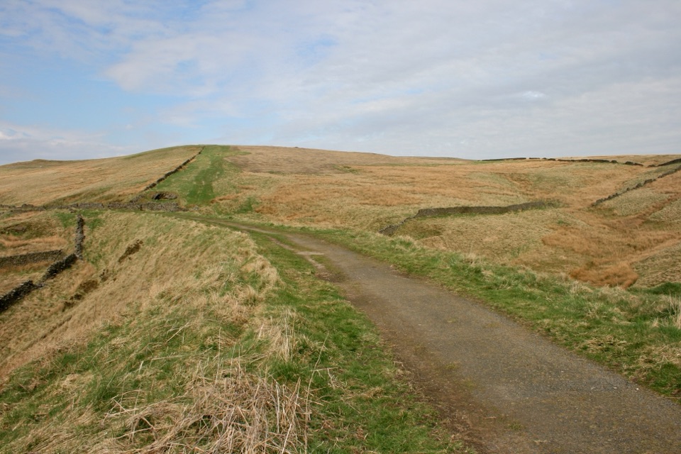 EasyGoyt Miles Without Stiles2 km · 45 min · 9.3 km awayA level old railway stroll to wide Goyt Valley views
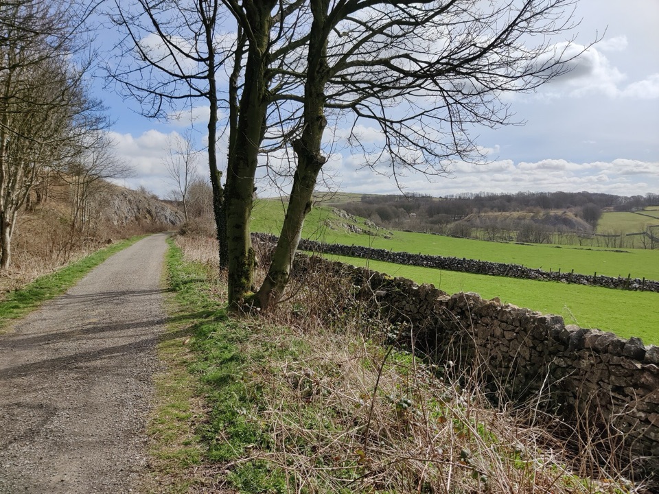 EasyParsley Hay Miles Without Stiles8 km · 2 hr · 9.4 km awayAn easy railway trail to a signal box, fields and picnic wood.
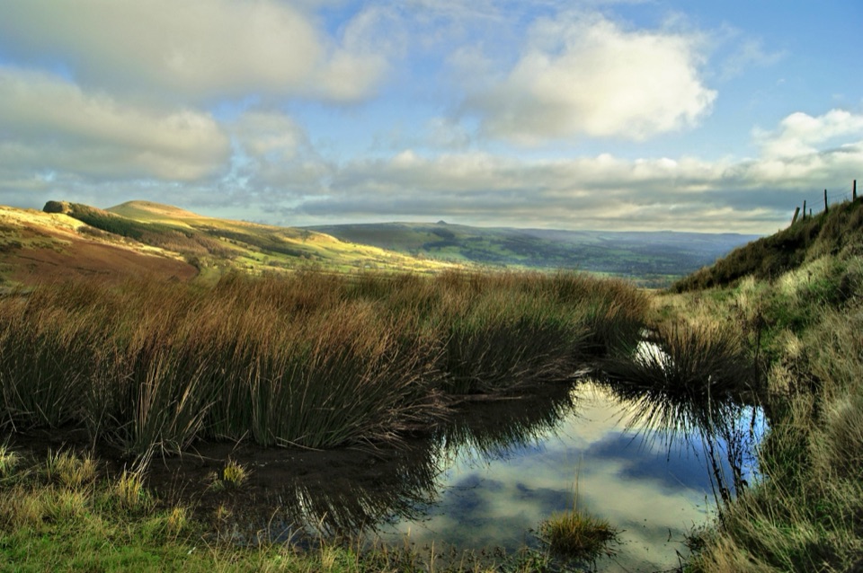 ModerateThe Great Ridge (Mam Tor to Lose Hill)8.2 km · 4 hr · 10.8 km awayA flagstoned skyline walk between two high Peak District summits
 ModerateMam Tor Circular Walk4.8 km · 2 hr · 10.8 km awayA short, steep circuit with a big view over Edale.
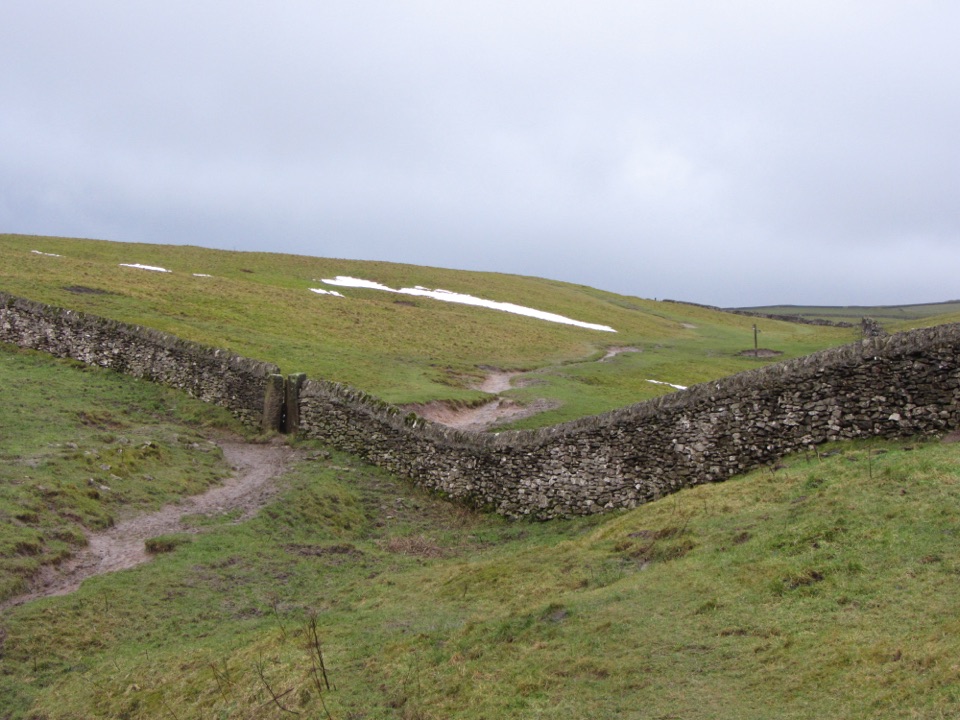 ChallengingLimestone Way74 km · 20 hr · 11 km awayOne-way 46 miles from Castleton to the River Dove at Rocester.
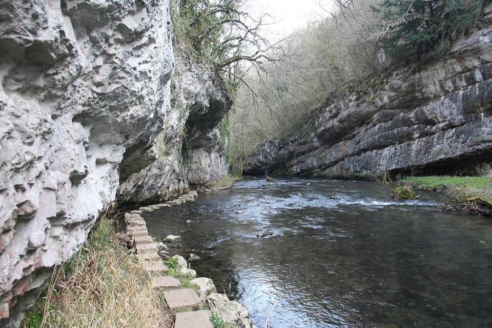 Sight · 1.4 km awayChee Dale Stepping StonesHop limestone slabs along the River Wye beneath an overhanging cliff
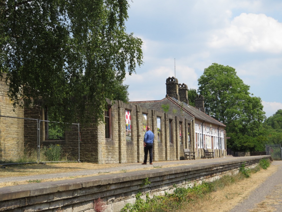 Sight · 2.7 km awayMillers Dale Goods ShedRestored railway goods shed with wagon rails and 1950s station stories
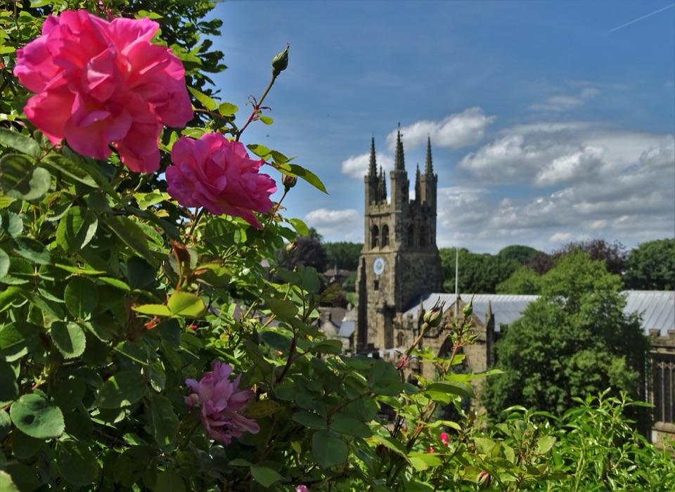 Sight · 5.1 km awayTideswellA 14th-century "Cathedral of the Peak" in a limestone walking village
 Sight · 5.2 km awayBuxtonHeritage trail, historic Crescent and baths, gardens, theatre and market
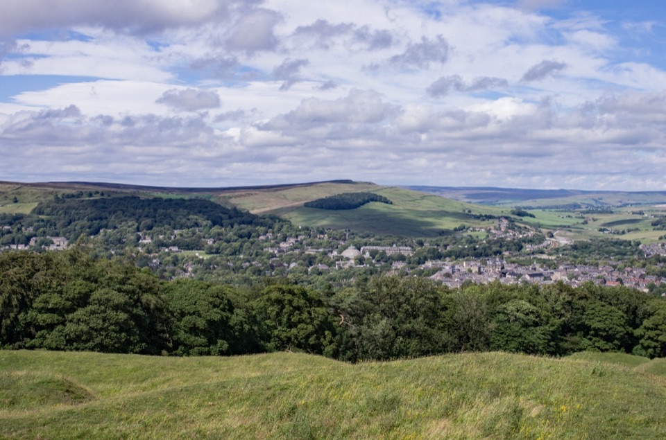 Sight · 5.9 km awaySolomon's TempleHilltop Victorian folly with wide views over Buxton and the hills
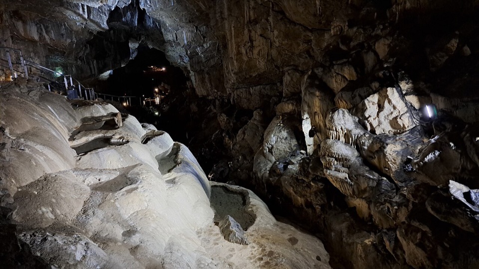 Sight · 6.2 km awayPoole's CavernAncient limestone chambers, poached-egg stalagmites, and a steady 7.5°C
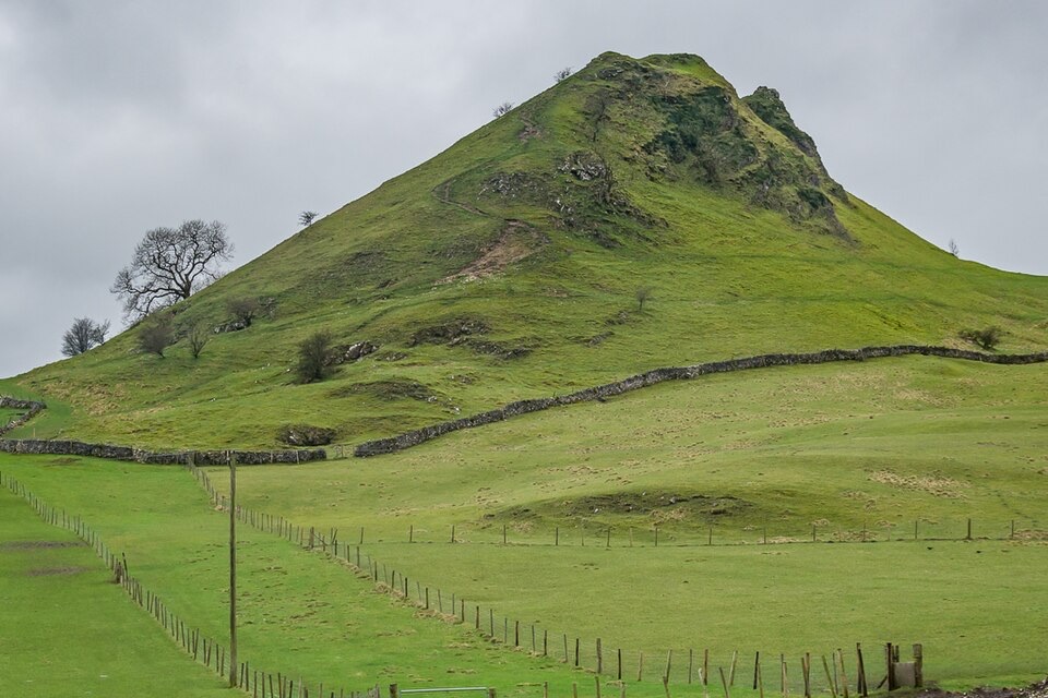 Sight · 6.4 km awayParkhouse HillFossil reef ridge with a steep scramble and Dragon's Back views
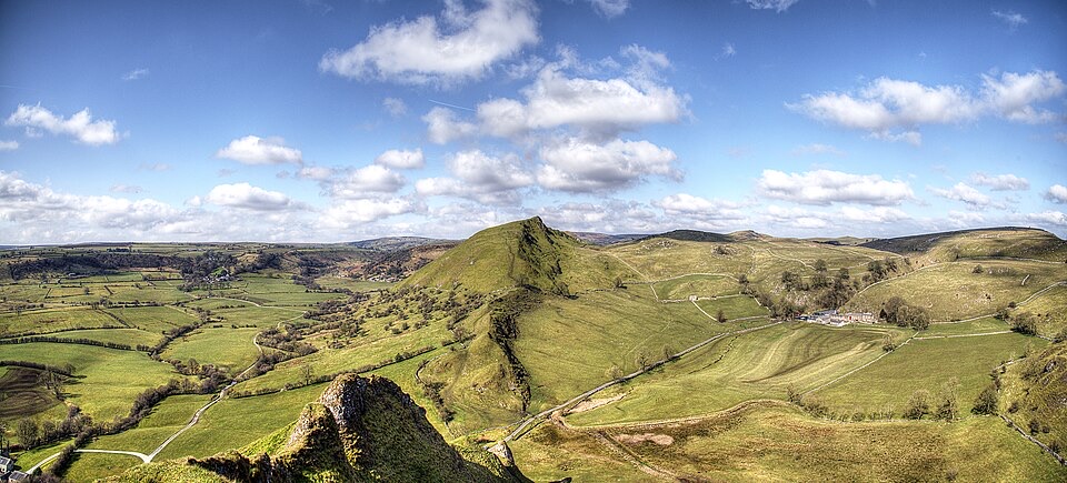 Sight · 6.6 km awayChrome HillSerrated limestone reef ridge rising like a dragon's back over pasture
Parkwolf’s Peak District ranking
 The Roaches and Lud’s Church Circular from Hen CloudModerate · 12.2 kmMam Tor Circular WalkModerate · 4.8 km
 Castleton, Mam Tor & the Great Ridge WalkModerate · 10.5 km
 Stanage Edge from HathersageModerate · 10.6 km
 Kinder Scout Circular via Jacob’s LadderChallenging · 12.1 km
 Padley Gorge and Burbage Brook WalkEasy · 3.7 km
The audio tour guide for the drive, plus offline maps, trails, and wildlife heatmaps for when the signal drops.