Parking
For the Blackwell Mill start, Wyedale Car Park is about a 10-minute bridleway walk from the trail. Hassop, Miller’s Dale and Bakewell Station car parks provide other access points; station car parks are pay-and-display.
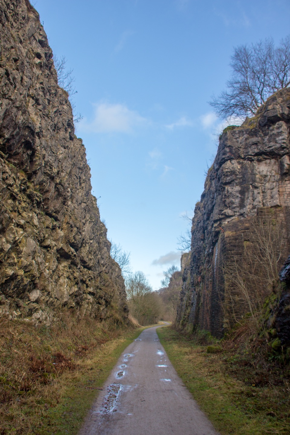
#10 of 88 trails in Peak District
Peak District National Park, EN
A level old railway, lined with limestone dales, viaducts, and tunnels.
Overview
Map & elevation
Plan your hike

The highest, rockiest slopes around here are a summer buffet for grizzly bears.
Peak District Tour Guide
Parkwolf is a GPS audio tour guide for Peak District National Park. As you drive, it chimes in with what’s ahead: hidden gems, upcoming stops, history, geology, and wildlife, right through your car’s speakers.
Recorded for this trailhead
Monsal Trail from Blackwell Mill“You're approaching the Blackwell Mill end of the Monsal Trail, a nearly level old railway line through limestone dales. The path runs past Chee Dale, then through tunnels and over viaducts toward Bakewell.”
Plays as you drive up to this trailhead in the Parkwolf Peak District Tour Guide.
More stories near here in the app
“Fantastic app with many points of information… It’s great to just turn on while you’re driving and it gives you an audio tour of the national Park. We love it!!!!”


Trail guide
Monsal Trail is an 8.5-mile, one-way walk from Blackwell Mill to Coombs Road in Bakewell, following the former Midland Railway through limestone dales, six tunnels, and the old stations and viaducts along the way. It’s traffic-free and nearly level; the challenge is walking the full distance, not climbing. I’d choose it for a substantial valley walk with a bit of industrial history, not for a summit or a remote-feeling hike. It isn’t a loop, so arrange a lift or another return plan. Walking back to your starting point adds another 8.5 miles. Allow about three to four hours on foot, before time spent looking around the old stations or stopping for food.
From Blackwell Mill, the path enters the steep limestone scenery of Chee Dale and Water-cum-Jolly, where the River Wye runs below the cliffs. The railway-grade route stays in the valley rather than climbing onto the hills, passing through the Chee Tor tunnels and the shorter Rusher Cutting. It then reaches Miller’s Dale, where the old station, goods shed, viaduct and limekilns make a good place to pause. The Goods Shed has local railway information and an indoor picnic shelter.
East of Miller’s Dale, the Litton and Cressbrook tunnels lead toward the old Cressbrook Mill, a water-powered cotton mill whose main building dates from work begun in 1812. The line itself closed in 1968 and became a walking and cycling trail in 1981. That history fits the walk: the route keeps taking you through the cuttings, tunnels and bridges built to carry trains through the valley, rather than just past a few isolated railway relics.
The Headstone Viaduct is the landmark stretch at Monsal Dale. The trail crosses the River Wye on the viaduct and immediately enters Headstone Tunnel. The viaduct is striking from the path, but you can also look back along the arches with the valley below to show how the rail line sits in the dale. The familiar view down onto the bridge from Monsal Head is a separate viewpoint reached by a steep path; it isn’t the trail access.
There are six tunnels in all. Four long tunnels are about 400 metres each and normally lit during the day; Chee Tor No. 2 and Rusher Cutting are shorter. After Headstone Tunnel, the route keeps its easy rail-bed line through open and wooded stretches toward Hassop and Bakewell.
Most of the surface is firm, unsealed trail, with asphalt on some stretches. The path is shared by walkers, cyclists, runners and horse riders, so the station and tunnel sections are shared spaces rather than secluded footpaths. Dogs are welcome on a lead. Ramp access is provided at several points, but the steep path down from Monsal Head is not an accessible entry to the trail.
There are cafés and accessible toilets at Hassop Station and Miller’s Dale; the Goods Shed at Miller’s Dale is a useful sheltered stop. For the Blackwell Mill start, Wyedale Car Park is about a ten-minute bridleway walk away. Hassop, Miller’s Dale and Bakewell Station also have pay-and-display car parks for shorter sections. Since the route ends in Bakewell rather than returning to Blackwell Mill, decide where you’ll finish before setting out. Tunnel lights can switch off earlier in winter, around 4:30 p.m.; take a torch if you expect to reach them later in the day.
Wildlife
 248 sightingsRed DeerMost seen around 7 AMSighting map
 36 sightingsRed FoxMost seen around 6 AMSighting map
 15 sightingsEurasian OtterMost seen around 7 PMSighting map
 51 sightingsPeregrine FalconMost seen around 6 PMSighting map
 47 sightingsEuropean Fallow DeerMost seen around 6 AMSighting map
 54 sightingsWestern Roe DeerMost seen around 7 PMSighting map
Sighting maps show where each species has been reported across Peak District. Wildlife moves, so no sighting is guaranteed.
Keep exploring
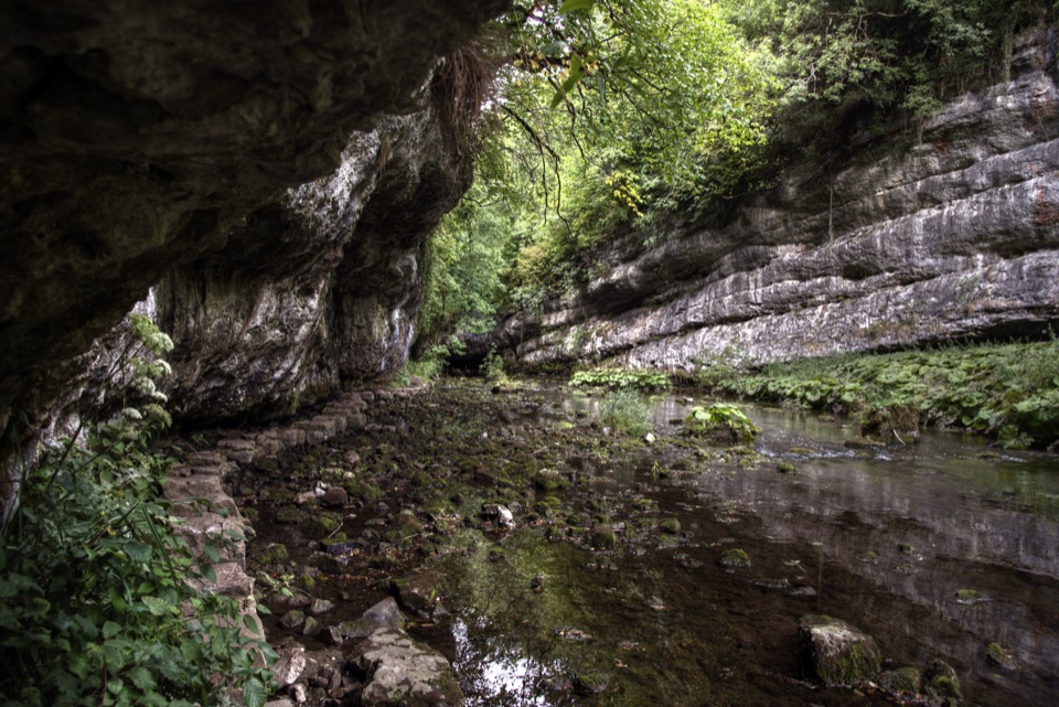 ModerateChee Dale Stepping Stones Circular6.9 km · 2.8 hr · 0.1 km awayStepping stones trace the River Wye beneath towering limestone cliffs.
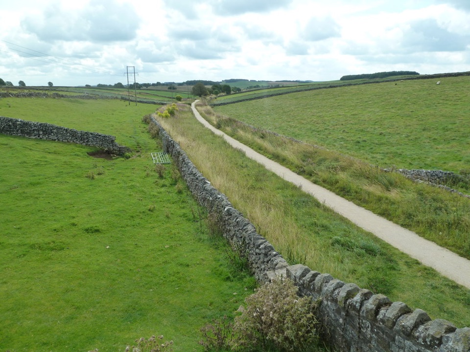 ModerateHigh Peak Trail28.2 km · 8 hr · 5 km awayTrace the old railway in one long crossing of the White Peak.
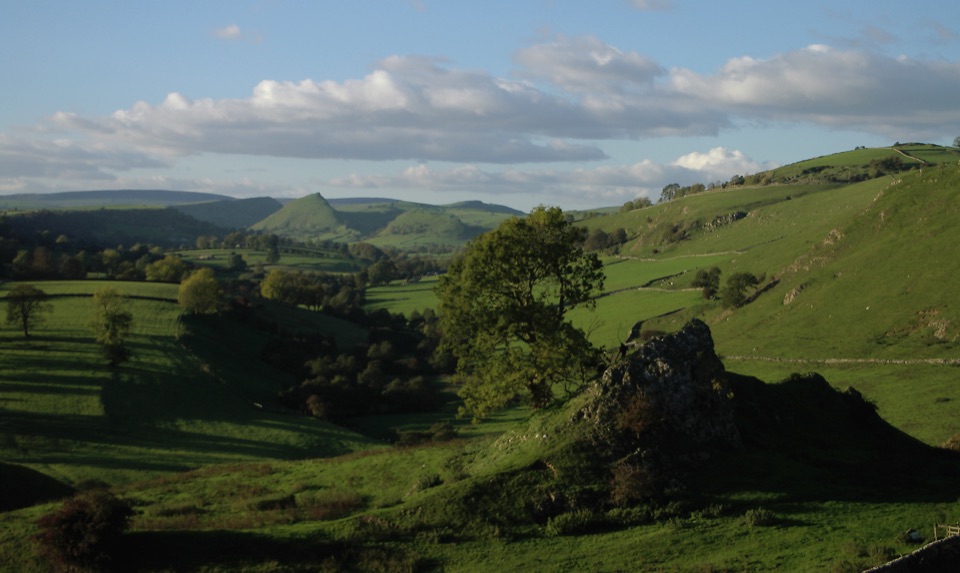 ModerateLongnor to Pilsbury Castle9.5 km · 3.5 hr · 8.1 km awayA castle-earthwork loop through the Upper Dove Valley
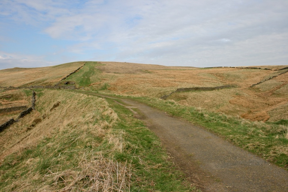 EasyGoyt Miles Without Stiles2 km · 45 min · 9.2 km awayA level old railway stroll to wide Goyt Valley views
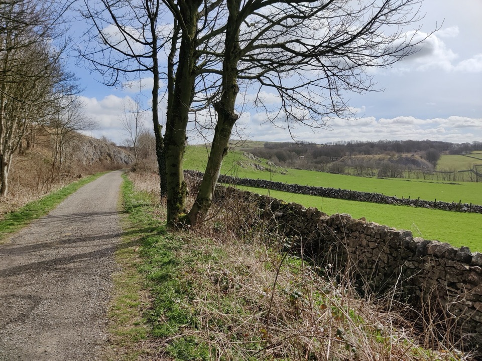 EasyParsley Hay Miles Without Stiles8 km · 2 hr · 9.6 km awayAn easy railway trail to a signal box, fields and picnic wood.
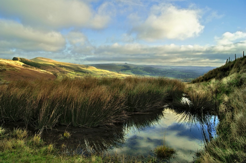 ModerateThe Great Ridge (Mam Tor to Lose Hill)8.2 km · 4 hr · 10.6 km awayA flagstoned skyline walk between two high Peak District summits
 ModerateMam Tor Circular Walk4.8 km · 2 hr · 10.7 km awayA short, steep circuit with a big view over Edale.
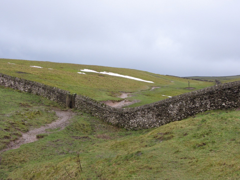 ChallengingLimestone Way74 km · 20 hr · 10.8 km awayOne-way 46 miles from Castleton to the River Dove at Rocester.
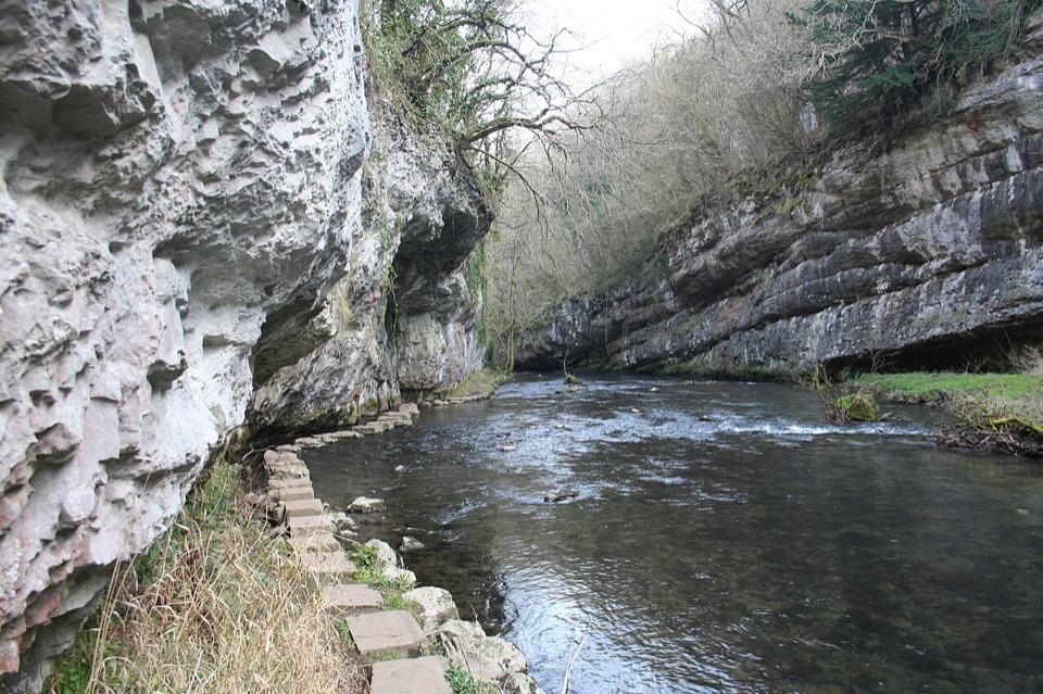 Sight · 1.3 km awayChee Dale Stepping StonesHop limestone slabs along the River Wye beneath an overhanging cliff
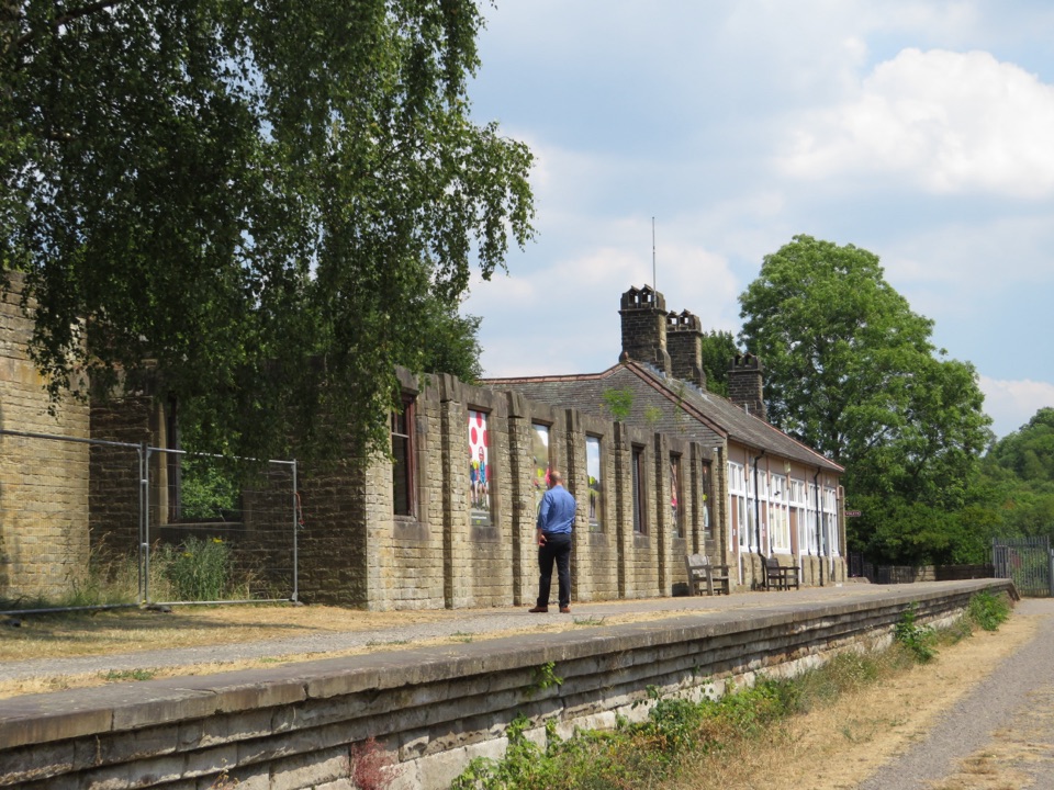 Sight · 2.6 km awayMillers Dale Goods ShedRestored railway goods shed with wagon rails and 1950s station stories
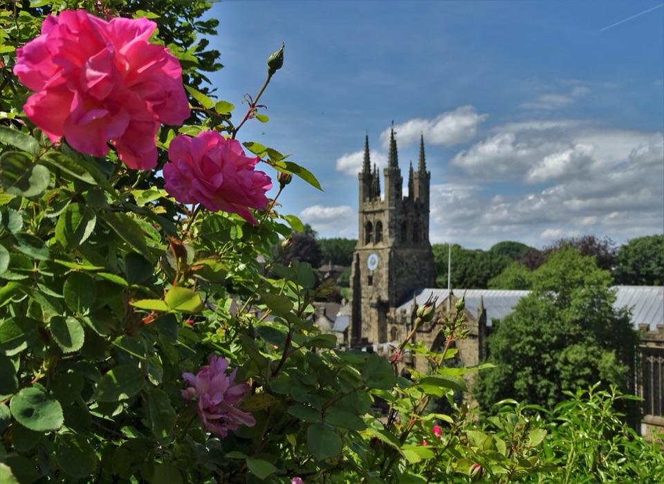 Sight · 5 km awayTideswellA 14th-century "Cathedral of the Peak" in a limestone walking village
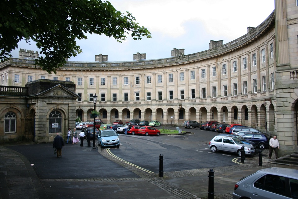 Sight · 5.2 km awayBuxtonHeritage trail, historic Crescent and baths, gardens, theatre and market
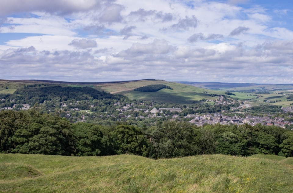 Sight · 5.9 km awaySolomon's TempleHilltop Victorian folly with wide views over Buxton and the hills
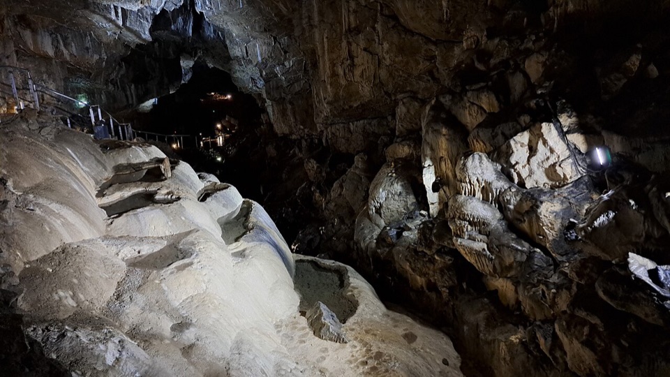 Sight · 6.2 km awayPoole's CavernAncient limestone chambers, poached-egg stalagmites, and a steady 7.5°C
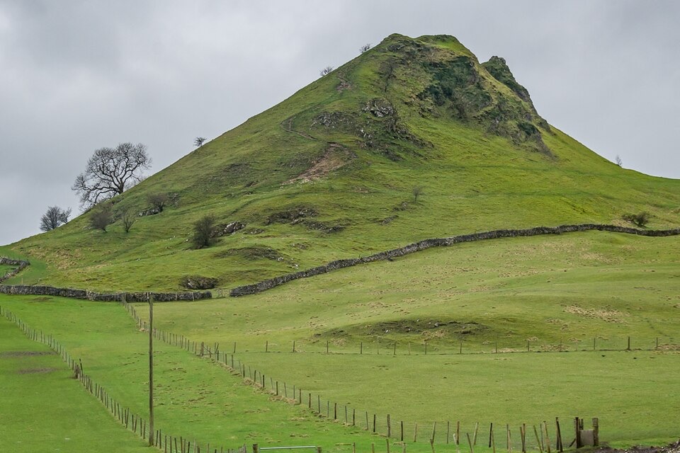 Sight · 6.6 km awayParkhouse HillFossil reef ridge with a steep scramble and Dragon's Back views
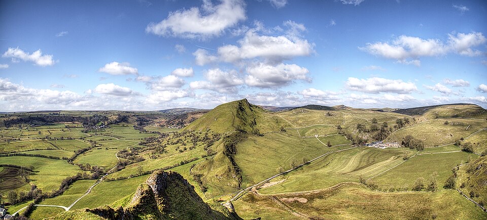 Sight · 6.7 km awayChrome HillSerrated limestone reef ridge rising like a dragon's back over pasture
Parkwolf’s Peak District ranking
 The Roaches and Lud’s Church Circular from Hen CloudModerate · 12.2 kmMam Tor Circular WalkModerate · 4.8 km
 Castleton, Mam Tor & the Great Ridge WalkModerate · 10.5 km
 Stanage Edge from HathersageModerate · 10.6 km
 Kinder Scout Circular via Jacob’s LadderChallenging · 12.1 km
 Padley Gorge and Burbage Brook WalkEasy · 3.7 km
The audio tour guide for the drive, plus offline maps, trails, and wildlife heatmaps for when the signal drops.