Parking
Use the free Longnor Market Place car park in the village centre; public toilets are nearby. The surface slopes toward the road, and the small car park commonly fills on busy weekends, so nearby village parking may be needed.
Peak District National Park, EN
A castle-earthwork loop through the Upper Dove Valley
Overview
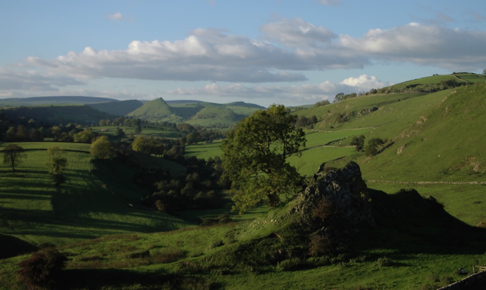
Pilsbury Castle isn't a standing stone building. It's a clear medieval motte-and-bailey site on a spur above the River Dove, with a rocky outcrop, high mound, banks and ditches. The path opens onto the earthworks with the valley below. For a useful photo, frame the rocky outcrop from the site with the green valley behind it.
 Parkwolf’s verdictThe castle is the payoff
Map & elevation
Plan your hike

The highest, rockiest slopes around here are a summer buffet for grizzly bears.
Peak District Tour Guide
Parkwolf is a GPS audio tour guide for Peak District National Park. As you drive, it chimes in with what’s ahead: hidden gems, upcoming stops, history, geology, and wildlife, right through your car’s speakers.
Recorded for this trailhead
Pilsbury Castle Walk from Longnor“You're approaching Longnor Market Place, the start of the walk to Pilsbury Castle. The loop is almost six miles and takes three to three and a half hours across fields, wall stiles and some steep or boggy ground.”
Plays as you drive up to this trailhead in the Parkwolf Peak District Tour Guide.
More stories near here in the app
“Fantastic app with many points of information… It’s great to just turn on while you’re driving and it gives you an audio tour of the national Park. We love it!!!!”


Trail guide
Longnor to Pilsbury Castle is a 5.9-mile circular walk from Longnor Market Place through Crowdecote, across field paths and bridleways to the castle earthworks, then back through Pilsbury-side lanes and farmland. Allow three to three and a half hours. It's moderate rather than technical, but you will cross fields, gates and uneven ground.
The route uses grassy public footpaths and bridleways, village lanes, stone walls, gates and several wall stiles. Some sections are steep and patches can be boggy; field paths are less obvious than the roads, so keep the mapped route handy. Dogs may come on the public rights of way, but keep them under effective control and on a short lead around livestock. There is no reliable food or water stop between Longnor and the castle. The Market Place has free parking, nearby toilets and village pubs and cafés; it can fill at weekends and slopes toward the road. The longer Hartington and Sheen walk is a separate route, not an extension of this loop.
Wildlife
 248 sightingsRed DeerMost seen around 7 AMSighting map
 36 sightingsRed FoxMost seen around 6 AMSighting map
 15 sightingsEurasian OtterMost seen around 7 PMSighting map
 51 sightingsPeregrine FalconMost seen around 6 PMSighting map
 47 sightingsEuropean Fallow DeerMost seen around 6 AMSighting map
 54 sightingsWestern Roe DeerMost seen around 7 PMSighting map
Sighting maps show where each species has been reported across Peak District. Wildlife moves, so no sighting is guaranteed.
Keep exploring
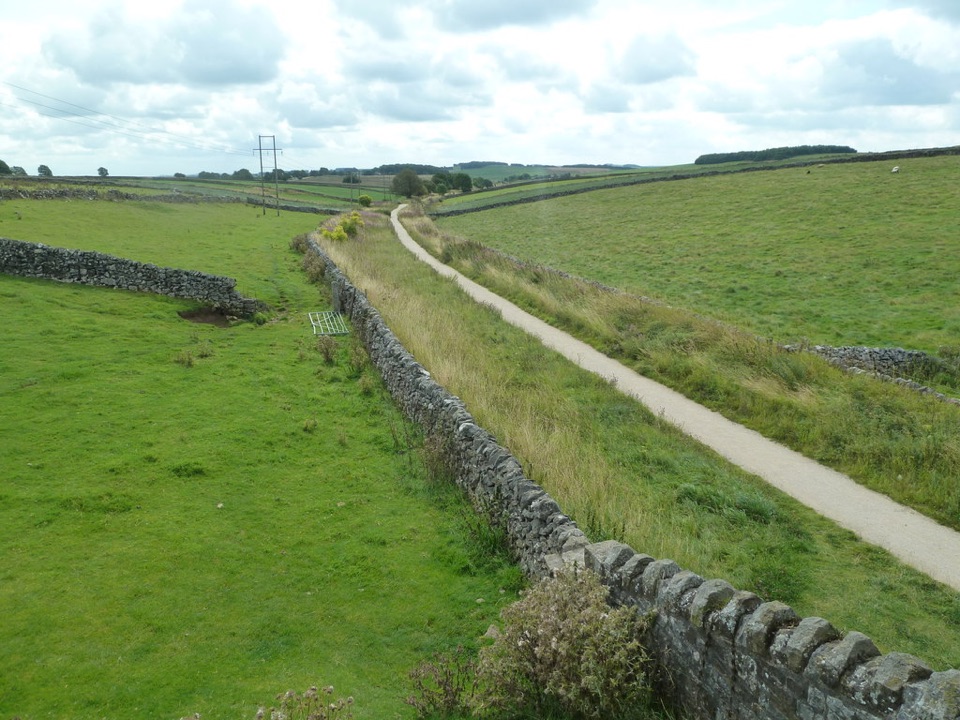 ModerateHigh Peak Trail28.2 km · 8 hr · 3.6 km awayTrace the old railway in one long crossing of the White Peak.
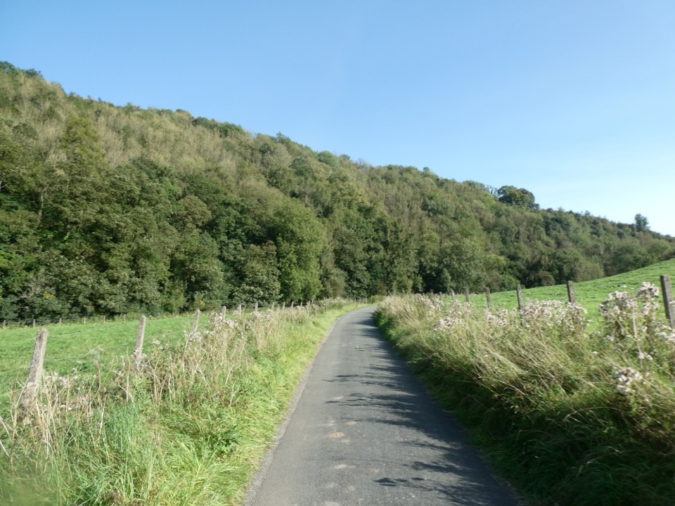 EasyManifold Way12.9 km · 4.3 hr · 5.8 km awayA gentle railway trail through valleys beneath Thor’s Cave.
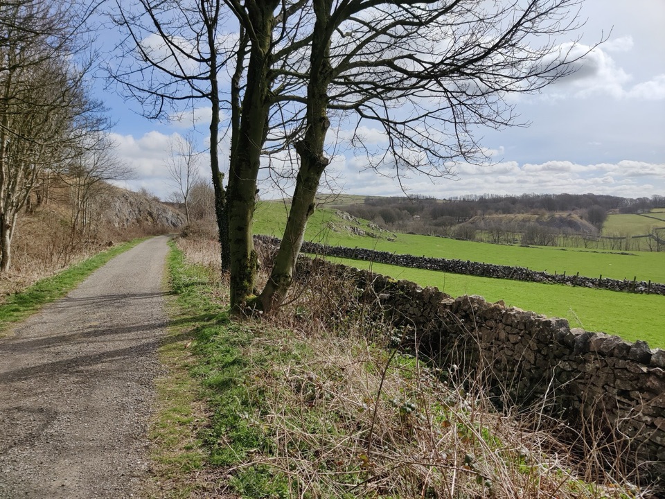 EasyParsley Hay Miles Without Stiles8 km · 2 hr · 6 km awayAn easy railway trail to a signal box, fields and picnic wood.
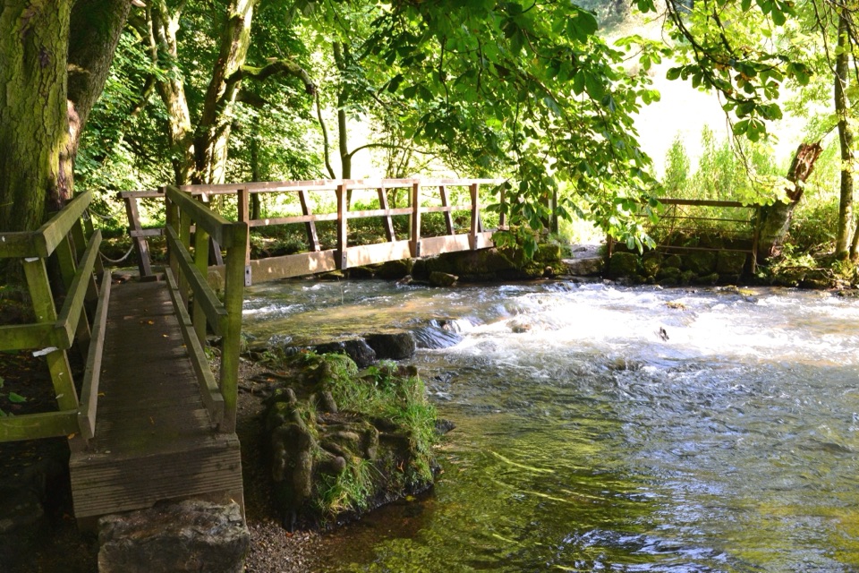 ModerateHartington – The Dales of the River Dove Walk8.9 km · 3 hr · 6 km awayA limestone dale loop linking riverside paths, bridges and open fields.ModerateHartington to Pilsbury Castle8.9 km · 3.1 hr · 6.1 km awayA Hartington out-and-back through the Dove valley to Pilsbury Castle.
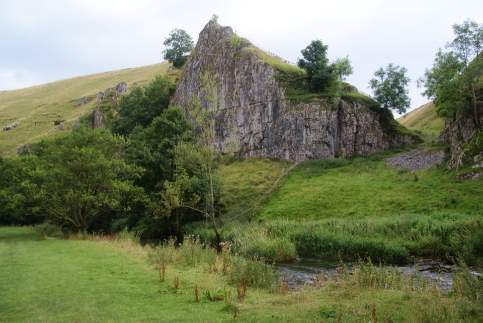 ModerateWolfscote Dale and Biggin Dale Circular8.7 km · 3.3 hr · 6.1 km awayFollow the Dove through three dales and two small caves
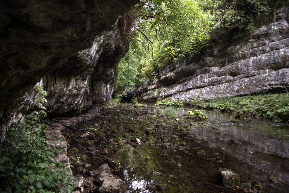 ModerateChee Dale Stepping Stones Circular6.9 km · 2.8 hr · 8 km awayStepping stones trace the River Wye beneath towering limestone cliffs.
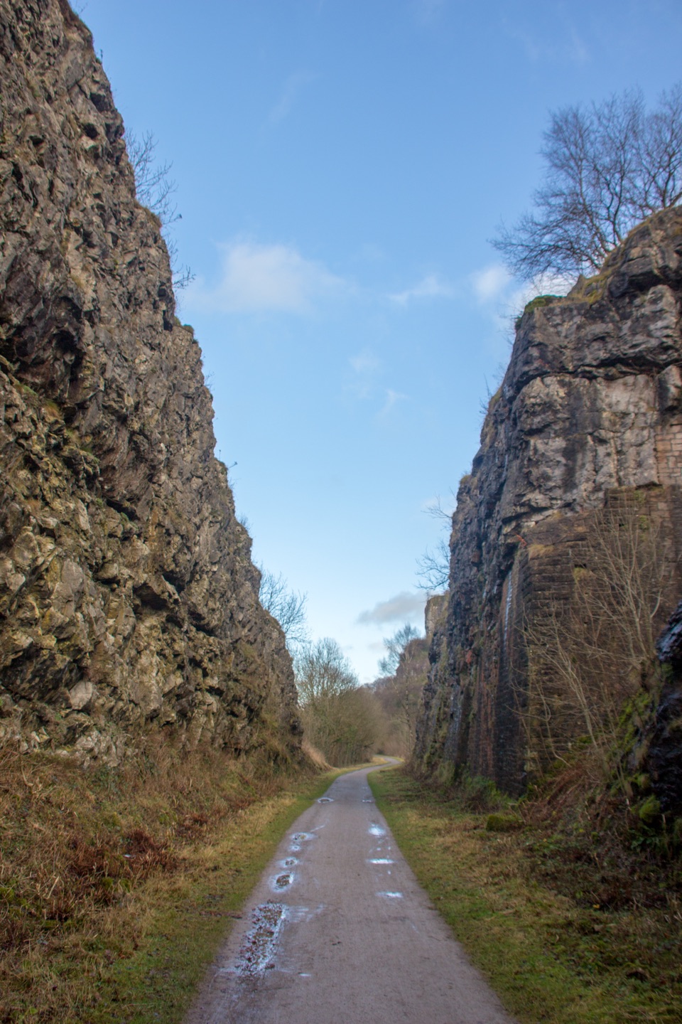 EasyMonsal Trail13.7 km · 3.5 hr · 8.1 km awayA level old railway, lined with limestone dales, viaducts, and tunnels.
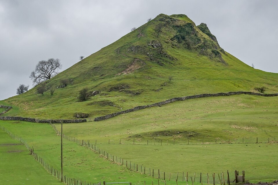 Sight · 2.2 km awayParkhouse HillFossil reef ridge with a steep scramble and Dragon's Back views
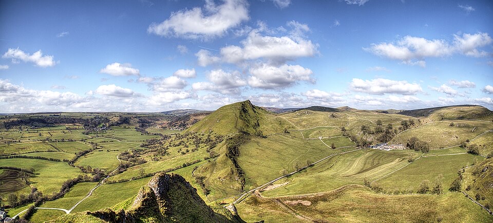 Sight · 3 km awayChrome HillSerrated limestone reef ridge rising like a dragon's back over pasture
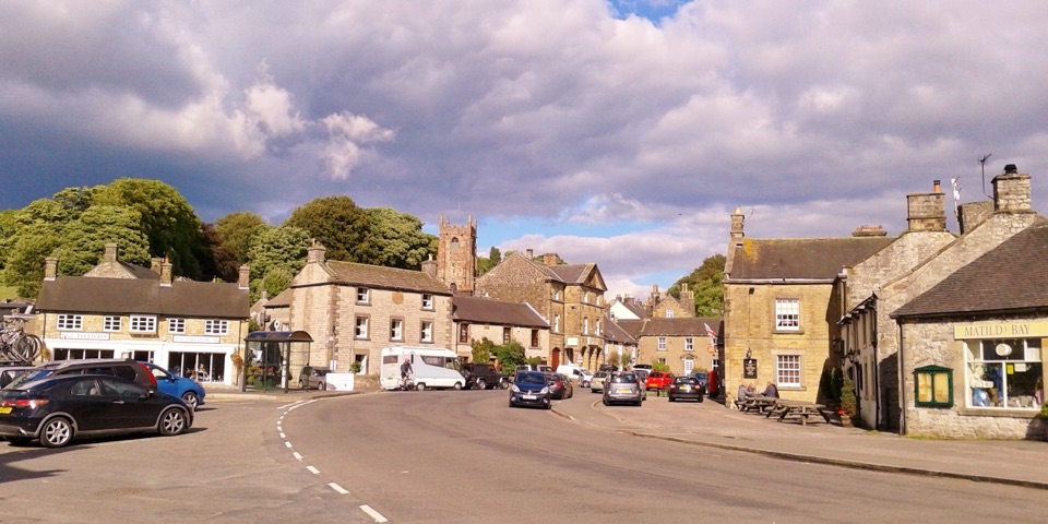 Sight · 6 km awayHartingtonDuck-pond square, a long-standing cheese shop, and footpaths into Dovedale
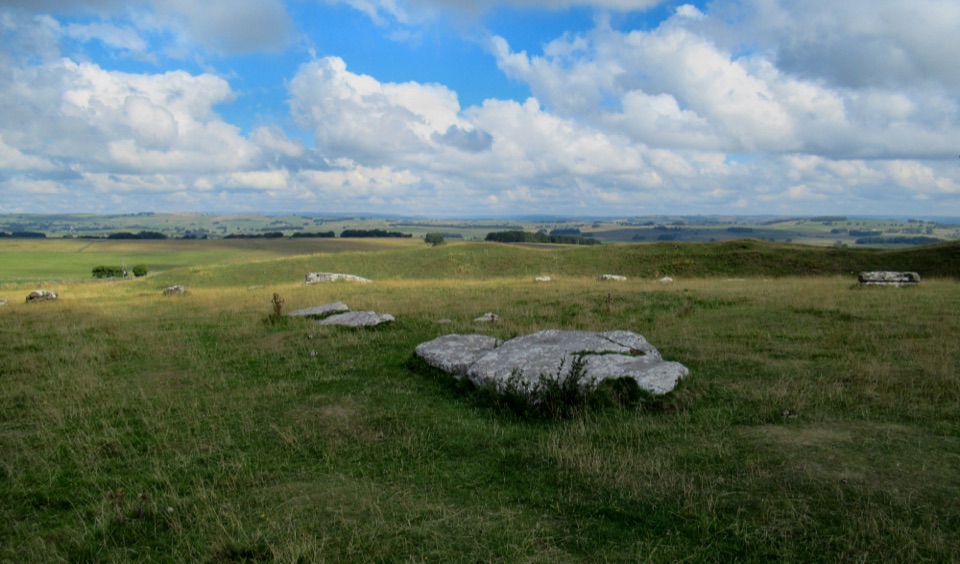 Sight · 7.3 km awayArbor Low Stone Circle and Gib Hill BarrowFallen limestone slabs ring a Neolithic henge with long Derbyshire views
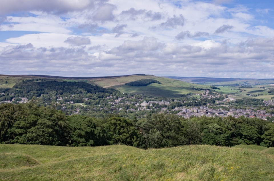 Sight · 7.6 km awaySolomon's TempleHilltop Victorian folly with wide views over Buxton and the hills
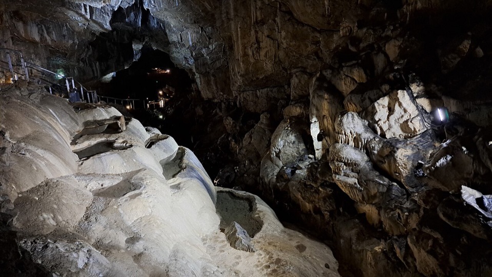 Sight · 8.5 km awayPoole's CavernAncient limestone chambers, poached-egg stalagmites, and a steady 7.5°C
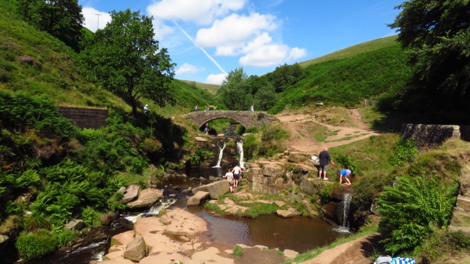 Sight · 8.7 km awayThree Shires HeadWhere three counties meet at a packhorse bridge and waterfalls
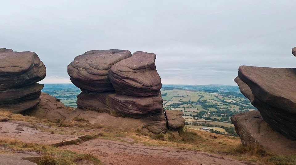 Sight · 8.7 km awayThe RoachesGritstone ridge of stacked crags, heather moor and wide valley views
Parkwolf’s Peak District ranking
 The Roaches and Lud’s Church Circular from Hen CloudModerate · 12.2 km
 Mam Tor Circular WalkModerate · 4.8 km
 Castleton, Mam Tor & the Great Ridge WalkModerate · 10.5 km
 Stanage Edge from HathersageModerate · 10.6 km
 Kinder Scout Circular via Jacob’s LadderChallenging · 12.1 km
 Padley Gorge and Burbage Brook WalkEasy · 3.7 km
The audio tour guide for the drive, plus offline maps, trails, and wildlife heatmaps for when the signal drops.