Wolfscote Dale and Biggin Dale Circular in Peak District National Park

Peak District National Park, EN

Wolfscote Dale and Biggin Dale Circular

Follow the Dove through three dales and two small caves

Photo: Wikimedia Commons
Length
8.7km
Time
3.3hr
Elev. change
76m
Difficulty
Moderate
  • Loop
  • Dogs allowed
  • High point 285 m
  • #25 of 88 in Peak District

Hear the audio tour

Hartington Village and the Dove Dales

Overview

About Wolfscote Dale and Biggin Dale Circular

Why go

  • Three distinct dales with the River Dove as the through-line
  • Low-level limestone scenery without a summit climb

Heads up

  • Biggin Dale is rocky, wet and slippery after rain
  • Gates, stiles and narrow bridges rule out pushchairs

Map & elevation

The route

Loading the Peak District map
Full map
Elevation209–285 m
TrailheadHartington Farm Shop & Cafe53.13977, -1.81042
Keep this map with you offline in the Parkwolf app

Plan your hike

Before you go

Parking

Use Parsons Field car park on Parsons Close in Hartington. Walk into the village to the Hartington Farm Shop & Cafe, where the public footpath beside the toilets is the route start. The car park is pay-and-display; do not rely on limited village spaces.

Safety

Bridge approaches and the path through Biggin Dale can flood after heavy rain. Expect slippery rocks, uneven ground, gates, stiles and narrow bridges; livestock are common. The route is not push-chair-friendly.

5 active Peak District alerts

  • ClosureA54 Cat and Fiddle road closureThe A54 Macclesfield Main Road (Cat and Fiddle) is fully closed to all traffic from 27 July through 30 October 2026 during phase 1 improvement works.Official details
  • ClosureHooks Carr (Stanage Popular) car park closureHooks Carr (Stanage Popular) car park will be partially or fully closed from 6 October for four weeks.Official details
See all 5 alerts
A park ranger sits on a dash-mounted phone, talking, as Parkwolf’s Tour Guide plays “Army Cutworm Moths: A Grizzly Bear Buffet” on Grand Loop Road below Dunraven Pass in Yellowstone
Parkwolf Tour GuideThe highest, rockiest slopes around here are a summer buffet for grizzly bears.

Peak District Tour Guide

Your drive to Wolfscote Dale and Biggin Dale Circular, narrated.

Parkwolf is a GPS audio tour guide for Peak District National Park. As you drive, it chimes in with what’s ahead: hidden gems, upcoming stops, history, geology, and wildlife, right through your car’s speakers.

Recorded for this trailhead

Hartington Village and the Dove Dales
0:00 / 0:32
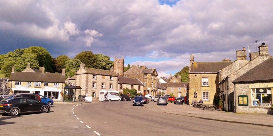
“You're coming up on Hartington, a limestone village with a duck pond beside its old market square. I'd stop at the cheese shop by the pond for Hartington Stilton or another local cheese to take away.”

Plays as you drive up to this trailhead in the Parkwolf Peak District Tour Guide.

More stories near here in the app

  • An Antler in the Henge Ditch
  • The Little House for Anglers
  • Sheen's Unbuilt Athens
  • Manifold Way from Hulme End
  • 298 audio storiesacross Peak District’s roads, triggered by GPS as you drive
  • Wildlife heatmapsfor Red Deer, Red Fox, Eurasian Otter, and 13 more
  • Works offlinemaps, 88 trails, 76 places, and audio download before you lose signal
  • CarPlay readysimple controls built for the drive
★★★★★
“Fantastic app with many points of information… It’s great to just turn on while you’re driving and it gives you an audio tour of the national Park. We love it!!!!”
JMJamesApp Store review
Download Parkwolf on the App StoreGet Parkwolf on Google Play

4.7 from 8,600+ ratings

Trail guide

Hiking Wolfscote Dale and Biggin Dale Circular

A low-level three-dale loopThis 5.4-mile (8.

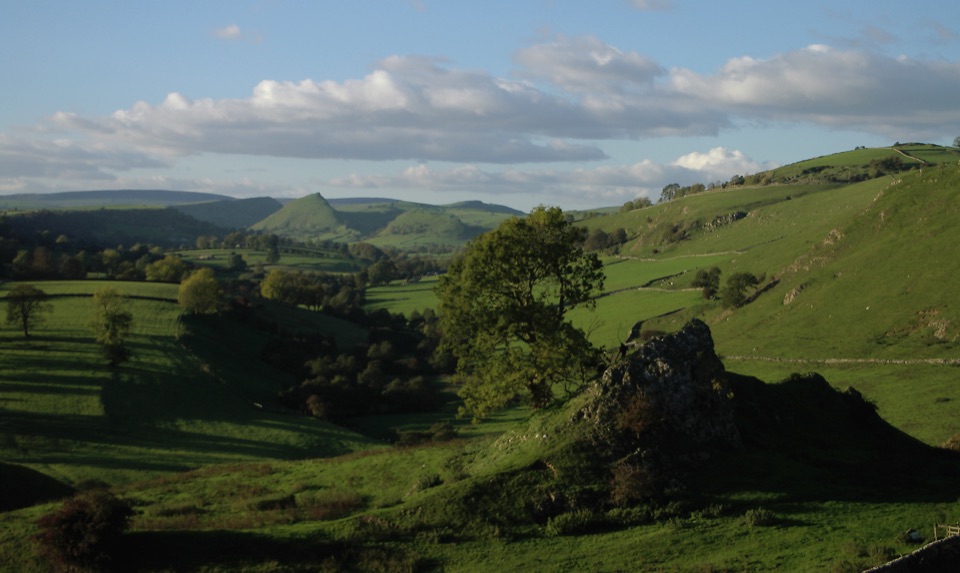
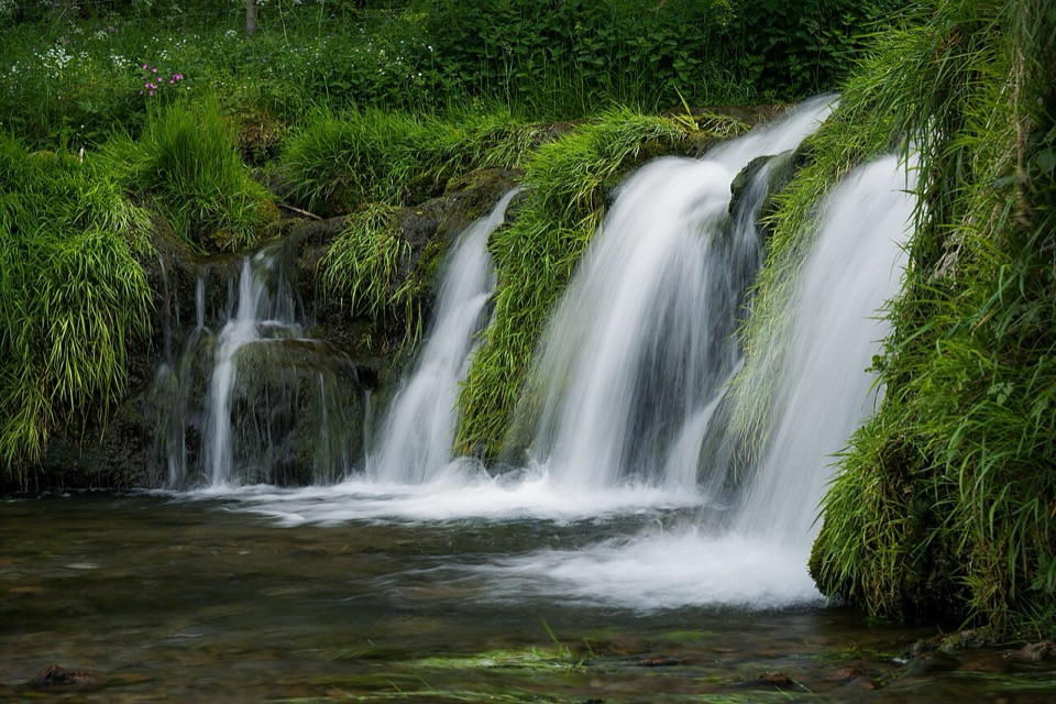
This 5.4-mile (8.7-km) loop starts by Hartington Farm Shop and threads fields and Morson Wood into Beresford Dale, then follows the River Dove through Wolfscote Dale before returning through Biggin Dale. Allow about three hours at an ordinary pace, or roughly 2¾–4½ hours with stops; the 5.34-mile mapped line is a full loop, not an out-and-back. The payoff is limestone scenery without a summit climb: water, steep-sided dale walls, caves, weirs and open White Peak fields.

Where the walk earns its milesThe opening fields and gates feel like a useful approach rather than the main event.

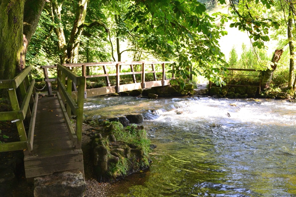
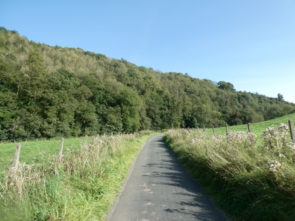
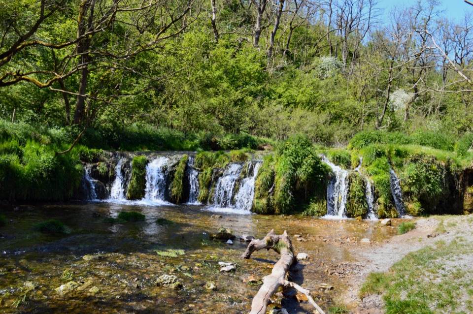
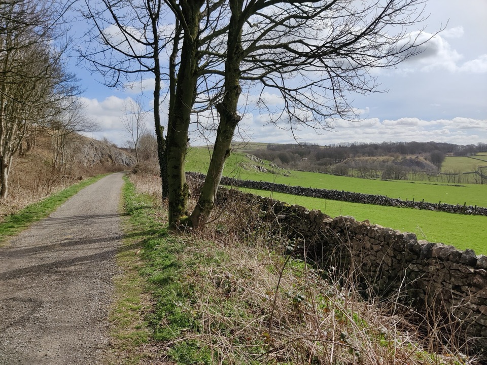
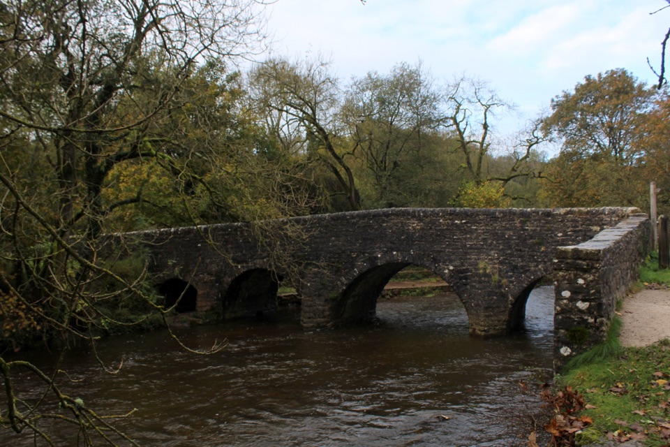
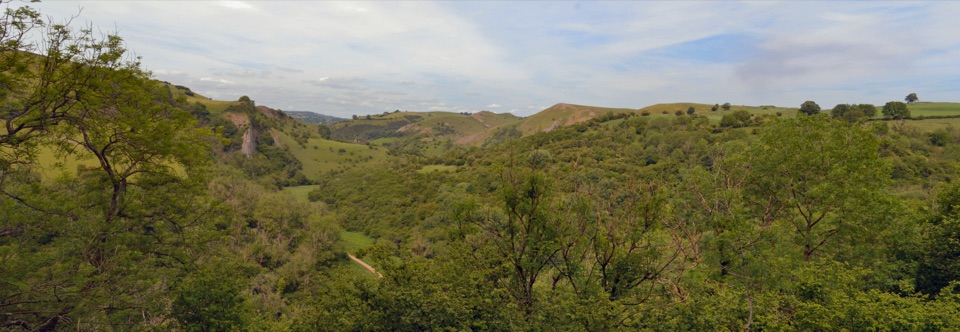
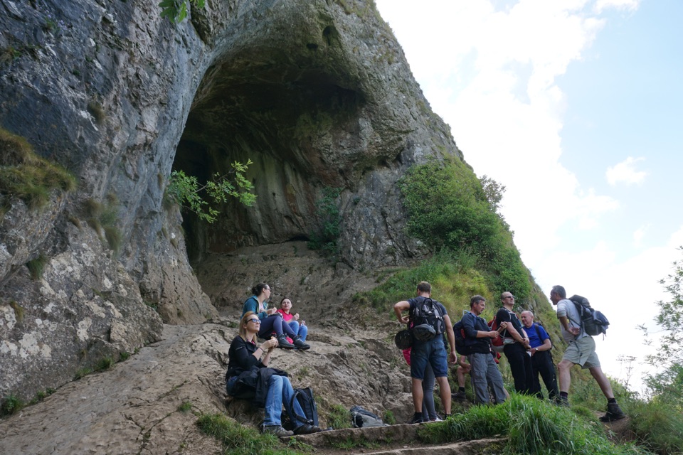
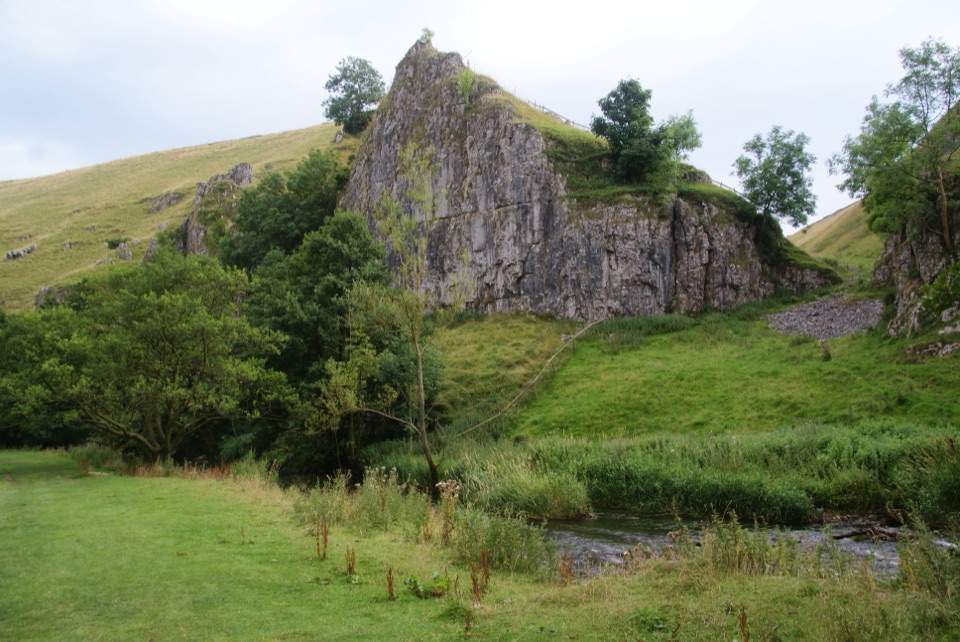
The opening fields and gates feel like a useful approach rather than the main event. Morson Wood drops you toward Beresford Dale, where footbridges and the river lead into the broadest, most dramatic section. In Wolfscote Dale, the path is mostly level and stony beside the Dove; look for Drabber Tor, Peaseland Rocks and caves in the limestone. Frank i' th' Rocks Cave is a short optional detour; route descriptions associate it with a nineteenth-century hermit. Biggin Dale is the rougher return: narrower, rockier and more likely to hold water after rain. It can follow a dry stream bed in summer and rises through fields and quiet lanes back to Hartington.

The practical choiceThis suits someone who wants a scenic day walk with modest overall climbs rather than a high…

This suits someone who wants a scenic day walk with modest overall climbs rather than a high ridge. Expect uneven ground, gates, stiles, narrow bridges and a short steeper section; it is not push-chair-friendly. Biggin Dale can be slippery when wet, and bridge approaches or the dale path can flood after heavy rain. The route is generally easy to follow but not signed at every turn, so keep the mapped line with you. Dogs are allowed on lead on the White Peak paths; livestock and narrow paths make that the sensible default. For the best photo, frame the River Dove with Drabber Tor or another limestone crag, leaving a strip of path in the foreground so the image explains the walk.

Starting and finishingPark at Parsons Field car park on Parsons Close in Hartington, then walk to the farm shop and…

Park at Parsons Field car park on Parsons Close in Hartington, then walk to the farm shop and toilets to join the public footpath. The village has pubs, shops and the farm shop/café for a separate pre- or post-walk stop; nothing beyond Hartington should be assumed to be on-route.

Wildlife

Wildlife in Peak District

All Peak District wildlife maps

Sighting maps show where each species has been reported across Peak District. Wildlife moves, so no sighting is guaranteed.

Keep exploring

Near Wolfscote Dale and Biggin Dale Circular

See it all on the map

Trails that start nearby

Places near the trailhead

Parkwolf’s Peak District ranking

Top-rated trails in Peak District

All 88 trails
  1. 1The Roaches and Lud’s Church Circular from Hen CloudModerate · 12.2 km
  2. 2Mam Tor Circular WalkModerate · 4.8 km
  3. 3Castleton, Mam Tor & the Great Ridge WalkModerate · 10.5 km
  4. 4Stanage Edge from HathersageModerate · 10.6 km
  5. 5Kinder Scout Circular via Jacob’s LadderChallenging · 12.1 km
  6. 6Padley Gorge and Burbage Brook WalkEasy · 3.7 km

Take Parkwolf to Peak District.

The audio tour guide for the drive, plus offline maps, trails, and wildlife heatmaps for when the signal drops.

4.7 from 8,600+ ratings

Download Parkwolf on the App StoreGet Parkwolf on Google Play