Parking
Start at Chaparral Parking Area on the west side; the North Wilderness Trail begins there. The adjacent picnic area has restrooms and drinking water.
Pinnacles National Park, CA
A shorter North Wilderness climb to Twin Knolls views.
Overview
Map & elevation
Plan your hike

The highest, rockiest slopes around here are a summer buffet for grizzly bears.
Pinnacles Tour Guide
Parkwolf is a GPS audio tour guide for Pinnacles National Park. As you drive, it chimes in with what’s ahead: hidden gems, upcoming stops, history, geology, and wildlife, right through your car’s speakers.
Recorded for this trailhead
Chaparral and Balconies Cave“You're nearing Chaparral, the west-side starting point for Balconies Cave.”
Plays as you drive up to this trailhead in the Parkwolf Pinnacles Tour Guide.
More stories near here in the app
“Fantastic app with many points of information… It’s great to just turn on while you’re driving and it gives you an audio tour of the national Park. We love it!!!!”


Trail guide
North Wilderness Trail to Twin Knolls is a 3.1-mile round-trip out-and-back from Chaparral Parking Area. Follow the North Wilderness Trail about 1.55 miles to the Twin Knolls viewpoints, then return the same way. It gives you a shorter taste of the remote west side without taking on the full 9.3-mile North Wilderness loop. It is rated moderate, climbs about 629 feet, and takes roughly 2 to 3 hours.
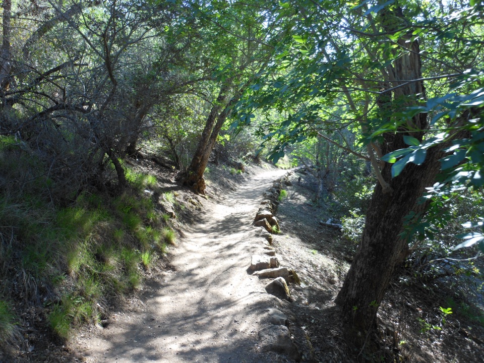
This is a more basic walk than the park’s maintained day trails: the North Wilderness corridor is unmaintained, and the park describes the longer route as climbing ridgelines before descending to a cairn-marked creek bed. The park map does not mark Twin Knolls as a separate turn point, so carry a current map and treat that destination as an approximate turnaround rather than following the longer loop by mistake. The first 1.55 miles’ exact footing and wayfinding are not described in detail.
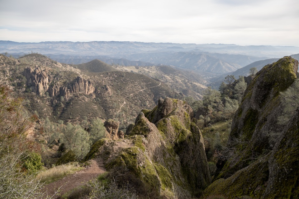
The viewpoints look back toward the west face of Pinnacles and the North Chalone Peak Fire Tower. Spring can bring wildflowers along the way, though no particular species or bloom timing is documented. If you want the whole wilderness outing, the separate loop continues much farther and is listed at 9.3 miles round trip.
Start at Chaparral Parking Area on the west side. The picnic area has restrooms and drinking water, but there is no water along the trail; bring at least a liter per person per hiking hour. Pets are prohibited on park trails; service animals are allowed.
Wildlife
 47 sightingsCalifornia CondorMost seen around 1 PMSighting map
 26 sightingsMule DeerMost seen around 6 PMSighting map
 19 sightingsChipmunkMost seen around 7 AMSighting map
 33 sightingsTurkey VultureMost seen around noonSighting map
 26 sightingsAcorn WoodpeckerMost seen around 8 AMSighting map
 16 sightingsSteller's JayMost seen around 8 AMSighting map
Sighting maps show where each species has been reported across Pinnacles. Wildlife moves, so no sighting is guaranteed.
Keep exploring
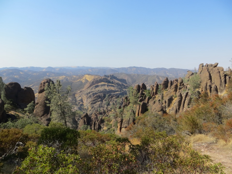 ChallengingJuniper Canyon Trail Loop4.3 mi · 3 hr · At the trailheadSteep rock steps, narrow ledges and a tunnel through the High Peaks.ChallengingHigh Peaks to Balconies Cave Loop8.4 mi · 4.5 hr · 0.1 mi awayNarrow spires, carved steps, and a dark cave in one loop.
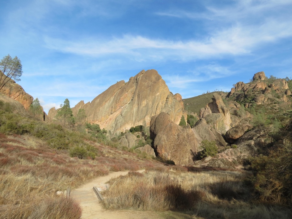 ChallengingNorth Wilderness Trail Loop9.3 mi · 6.5 hr · 0.1 mi awayRidge walking, cairned creek crossings, and Balconies Cave on the return.
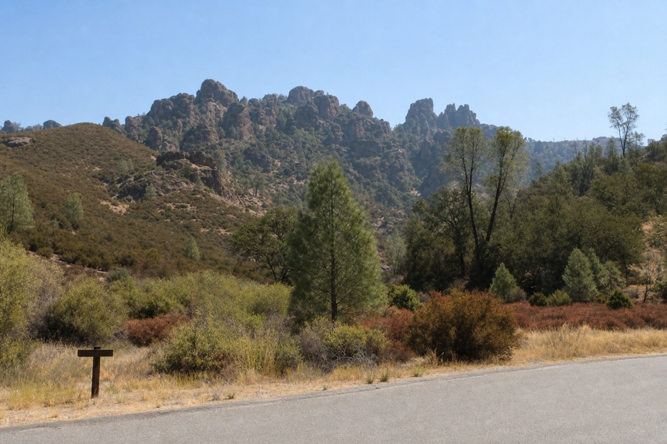 ModerateTunnel Trail3 mi · 2.5 hr · 0.1 mi awayA steep climb to a historic passage through the Pinnacles.
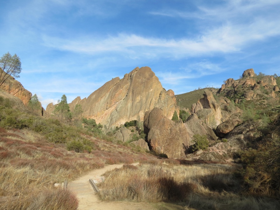 ModerateBalconies Cliffs-Cave Loop2.4 mi · 1.5 hr · 0.1 mi awayDark caves and high cliffs in one short Pinnacles loop
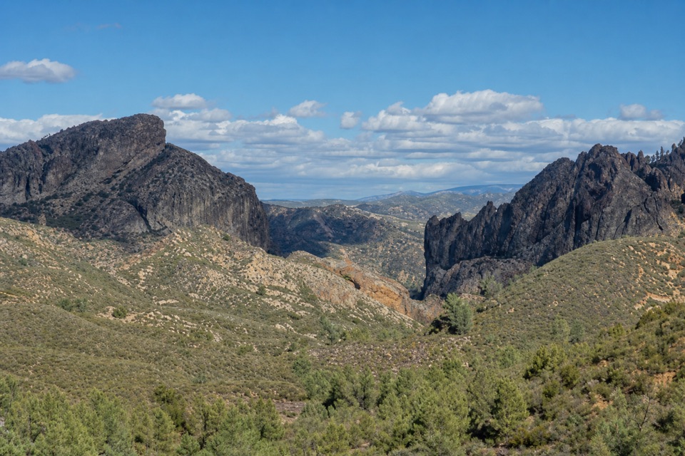 ModerateJawbone Trail1.2 mi · 45 min · 1.1 mi awayA short, steep descent opens onto big Pinnacles views.
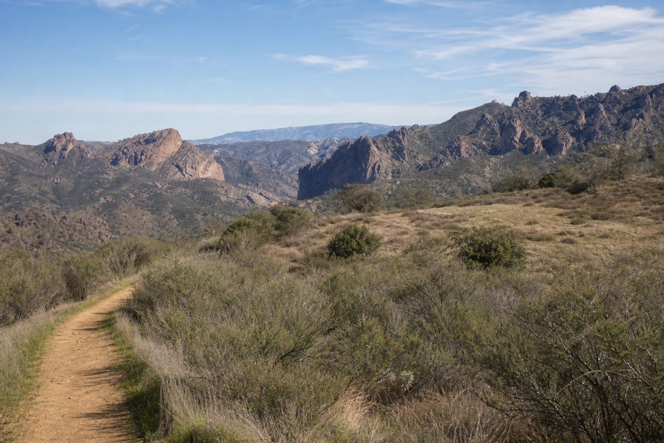 EasyPrewett Point Trail1 mi · 36 min · 1.4 mi awayAn easy hillside loop with sweeping views of the High Peaks.
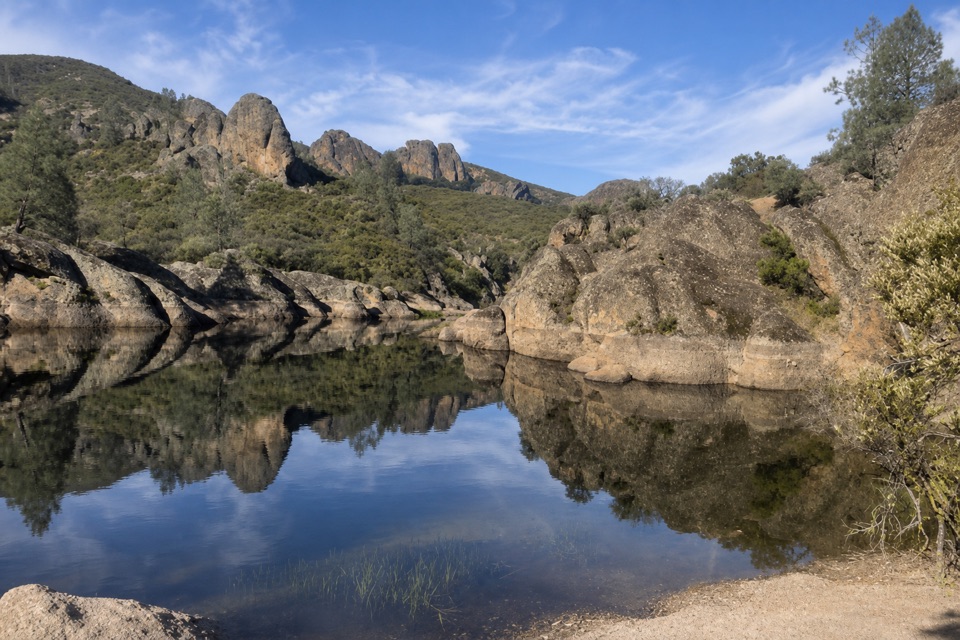 ModerateMoses Spring Trail to Bear Gulch Reservoir1 mi · 1.3 hr · 1.7 mi awayA short rocky climb to a ferny grotto and stone dam.
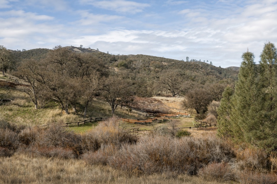 Picnic area · At the trailheadChaparral Picnic AreaA handy picnic stop beside two popular west-side trail loops.
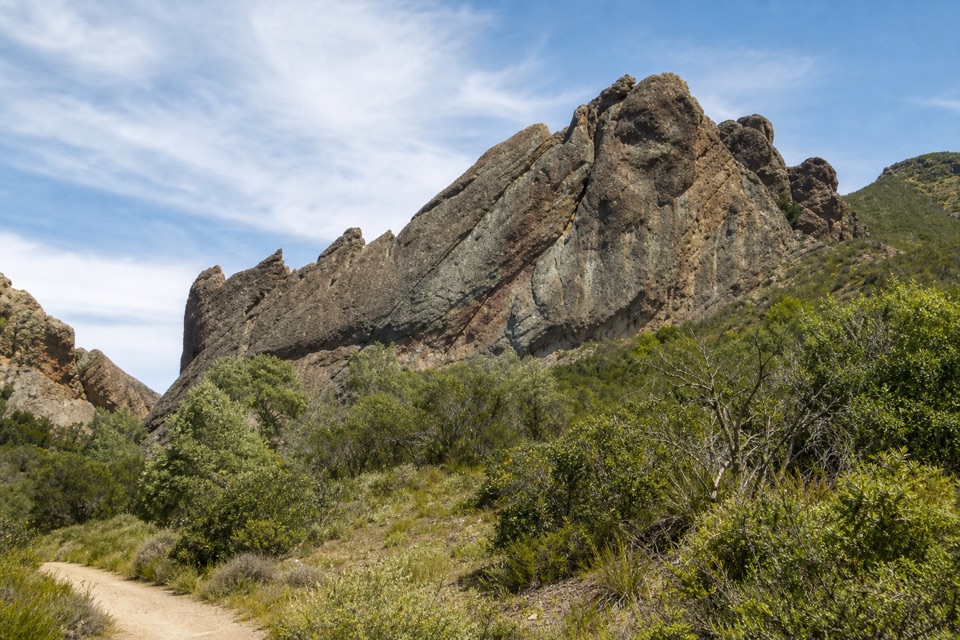 Sight · 0.6 mi awayMachete RidgeA huge fractured wall looms over the trail to Balconies Cave.
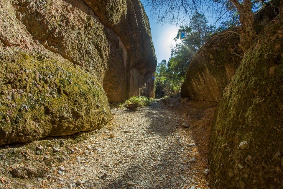 Sight · 0.7 mi awayBalconies CaveA short loop turns a cliff walk into a boulder-cave scramble.
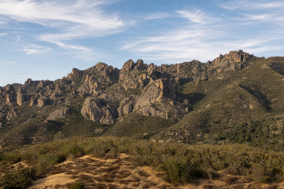 Sight · 1.1 mi awayPrewett Point OverlookA gentle walk to a broad overlook over volcanic spires
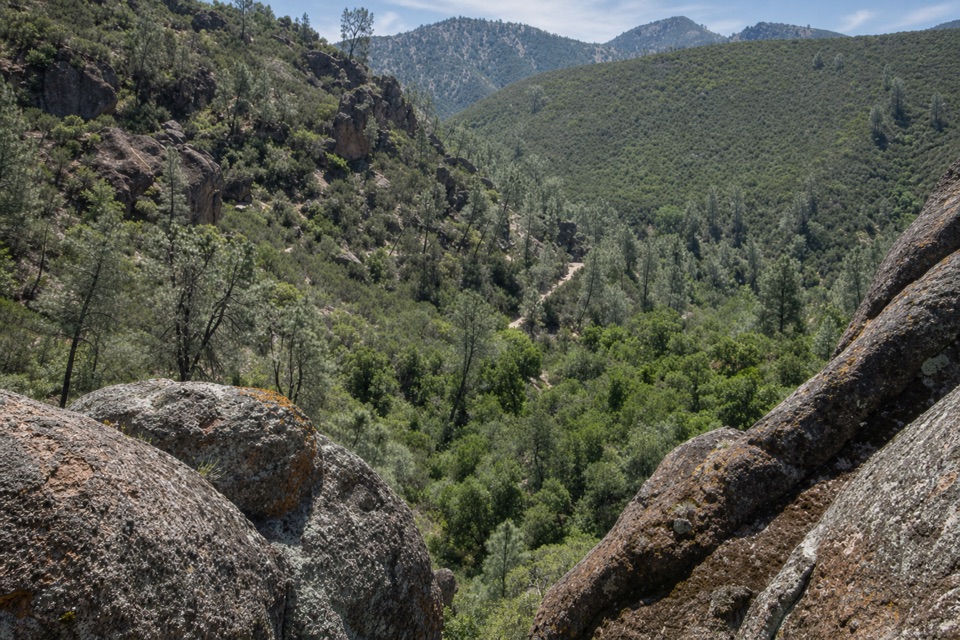 Sight · 1.1 mi awayCondor Gulch OverlookA worthwhile rocky pause before the tougher High Peaks climb.
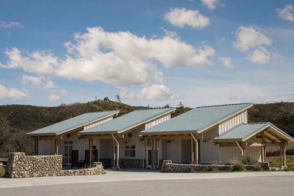 Visitor center · 1.4 mi awayWest Pinnacles Visitor Contact StationGet trail advice and water before you hike the west side.
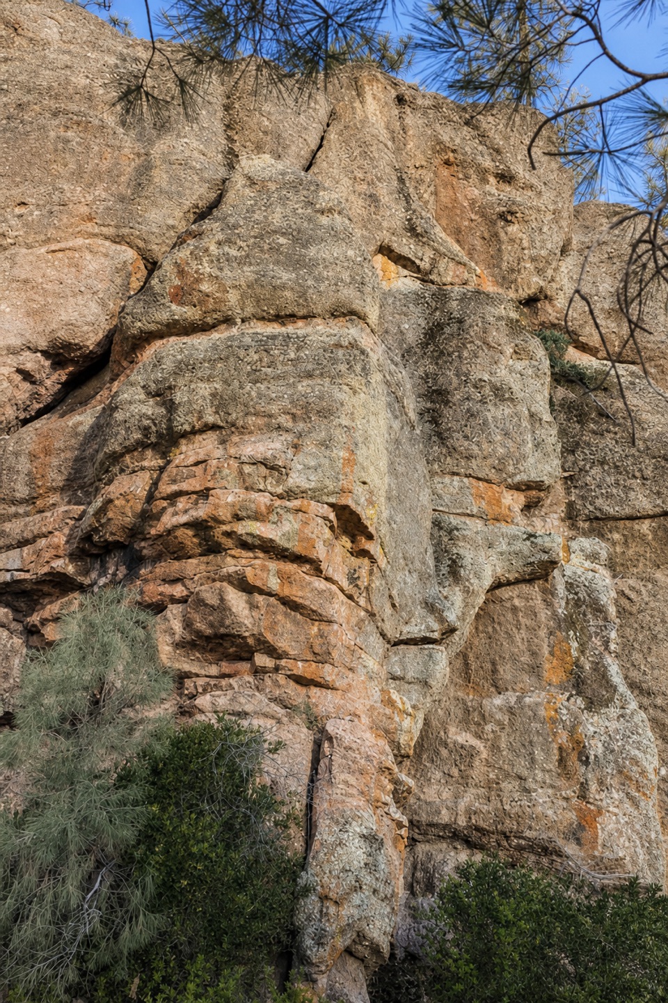 Sight · 1.8 mi awayDiscovery WallA technical crag where weak volcanic rock demands care.
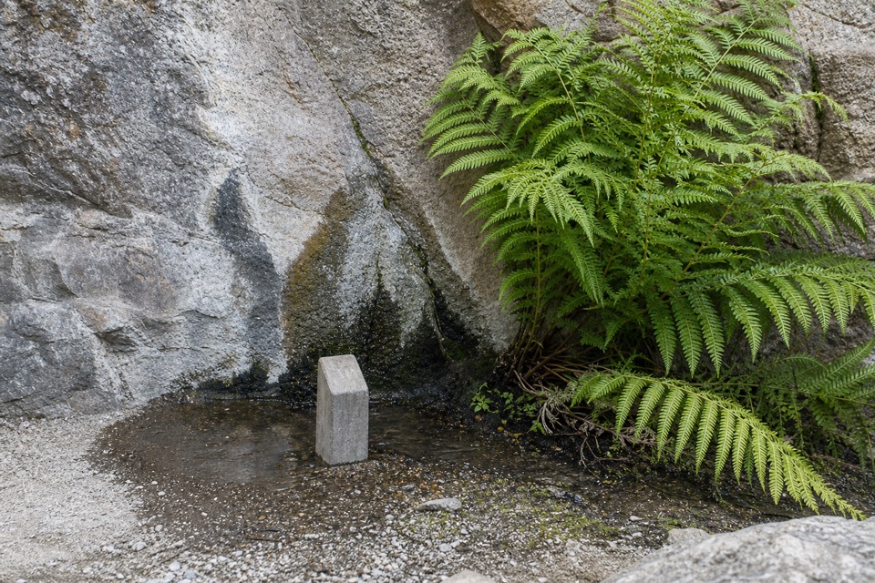 Sight · 1.8 mi awayMoses SpringA rock-wall spring worth a pause; don’t drink the water.
Parkwolf’s Pinnacles ranking

The audio tour guide for the drive, plus offline maps, trails, and wildlife heatmaps for when the signal drops.