Parking
Start and finish at Chaparral Parking Area on West Pinnacles. The nearby West Pinnacles contact station has restrooms and drinking water; there is no food stop along this route.
Pinnacles National Park, CA
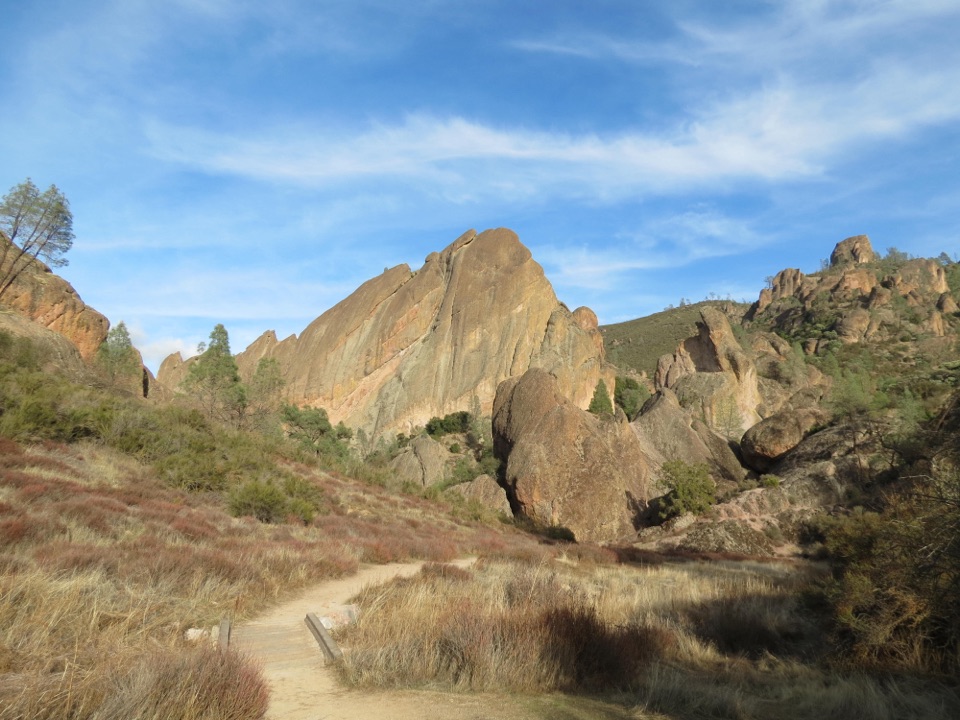
Ridge walking, cairned creek crossings, and Balconies Cave on the return.
Overview
Map & elevation
Plan your hike

The highest, rockiest slopes around here are a summer buffet for grizzly bears.
Pinnacles Tour Guide
Parkwolf is a GPS audio tour guide for Pinnacles National Park. As you drive, it chimes in with what’s ahead: hidden gems, upcoming stops, history, geology, and wildlife, right through your car’s speakers.
Recorded for this trailhead
Chaparral and Balconies Cave“You're nearing Chaparral, the west-side starting point for Balconies Cave.”
Plays as you drive up to this trailhead in the Parkwolf Pinnacles Tour Guide.
More stories near here in the app
“Fantastic app with many points of information… It’s great to just turn on while you’re driving and it gives you an audio tour of the national Park. We love it!!!!”


Trail guide
This is the park’s 9.3-mile loop from Chaparral: North Wilderness climbs across ridges, drops into the North Fork Chalone Creek drainage, then returns by Old Pinnacles and Balconies. The park rates it strenuous, with about 1,020 feet of climbing, and allows five to eight hours; plan toward the longer end if cairns and creek crossings slow you down. The open ridge brings views toward the High Peaks, and Balconies Cave gives the return a very different feel from the long, rough first half.
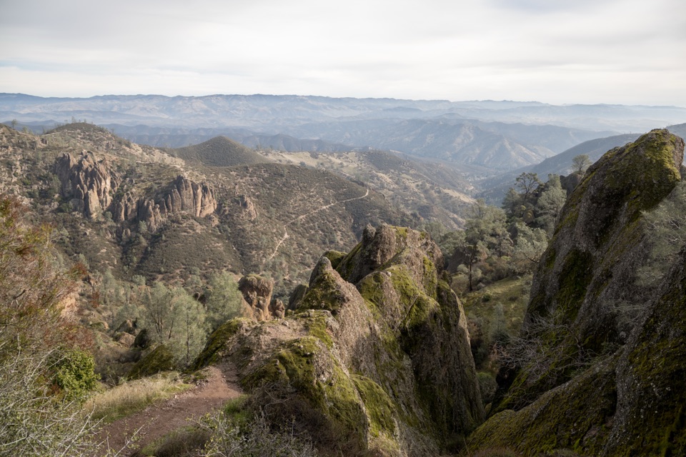
The path starts beside a creek, climbs to a ridge, then turns into the North Fork drainage and heads east before bending south. From the high ground, you get a broad look toward the High Peaks and across Pinnacles. This is the part to photograph with a little trail in the foreground; it gives the rock skyline a sense of scale.
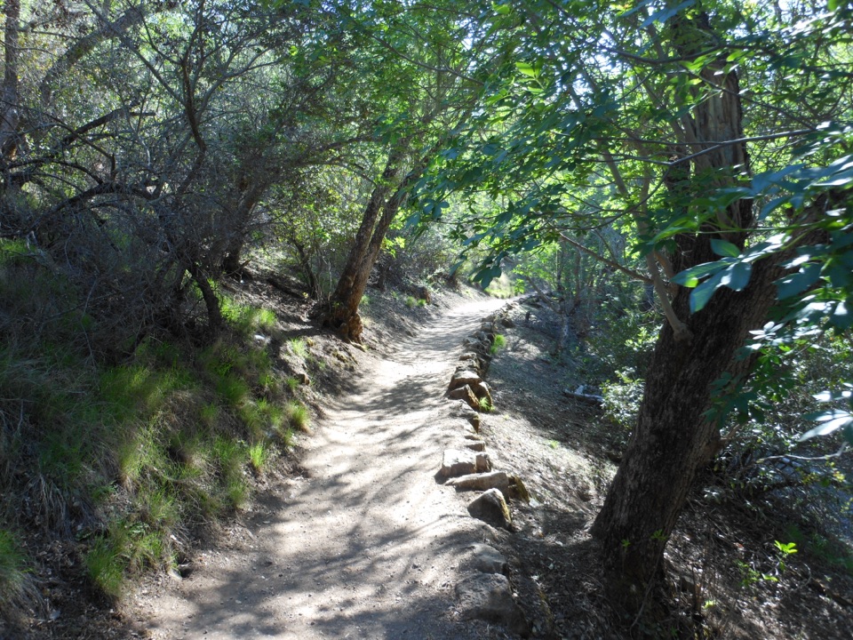
The North Wilderness section is unmaintained. Rock cairns mark the route, but in the creek bed the tread can be hard to pick out, and you’ll cross the creek more than once. Take your time at the drainage and keep the cairns in sight before committing to a line; this is not a trail to rush through on fading daylight.
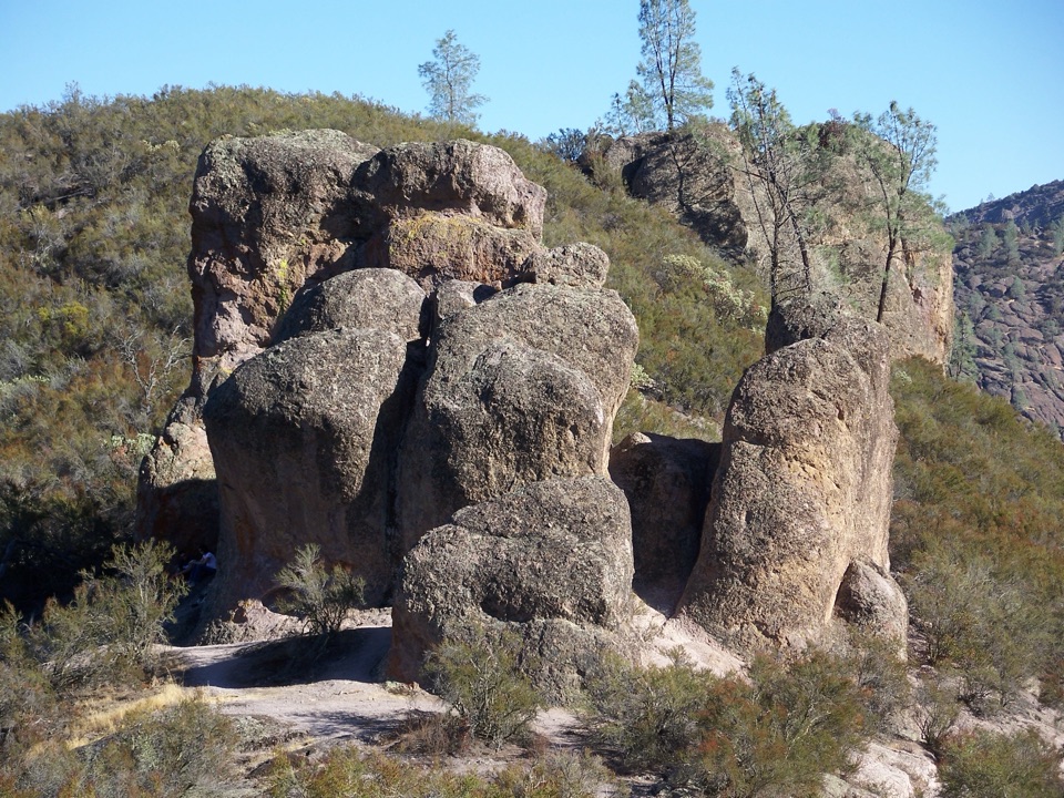
At the North Fork and West Fork confluence, join Old Pinnacles Trail and turn west toward Balconies Cave. The cave is a talus passage: boulders fell into a narrow canyon and jammed together overhead. It’s dark and uneven, so carry a light. The cave can close for floodwater or bat protection; take the bypass if it’s closed or slippery, and check the park’s cave status before setting out.
Chaparral Parking Area is the start and finish. Restrooms and drinking water are available at the nearby West Pinnacles contact station; there’s no food stop on the route. Pets aren’t allowed on park trails. This is a remote hike with rough routefinding, best for hikers who want a demanding day out rather than a well-maintained path.
Wildlife
 47 sightingsCalifornia CondorMost seen around 1 PMSighting map
 26 sightingsMule DeerMost seen around 6 PMSighting map
 19 sightingsChipmunkMost seen around 7 AMSighting map
 33 sightingsTurkey VultureMost seen around noonSighting map
 26 sightingsAcorn WoodpeckerMost seen around 8 AMSighting map
 16 sightingsSteller's JayMost seen around 8 AMSighting map
Sighting maps show where each species has been reported across Pinnacles. Wildlife moves, so no sighting is guaranteed.
Keep exploring
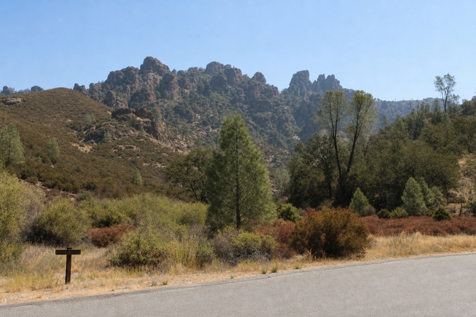 ModerateTunnel Trail3 mi · 2.5 hr · At the trailheadA steep climb to a historic passage through the Pinnacles.
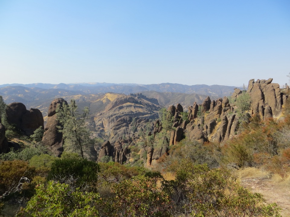 ChallengingHigh Peaks to Balconies Cave Loop8.4 mi · 4.5 hr · At the trailheadNarrow spires, carved steps, and a dark cave in one loop.
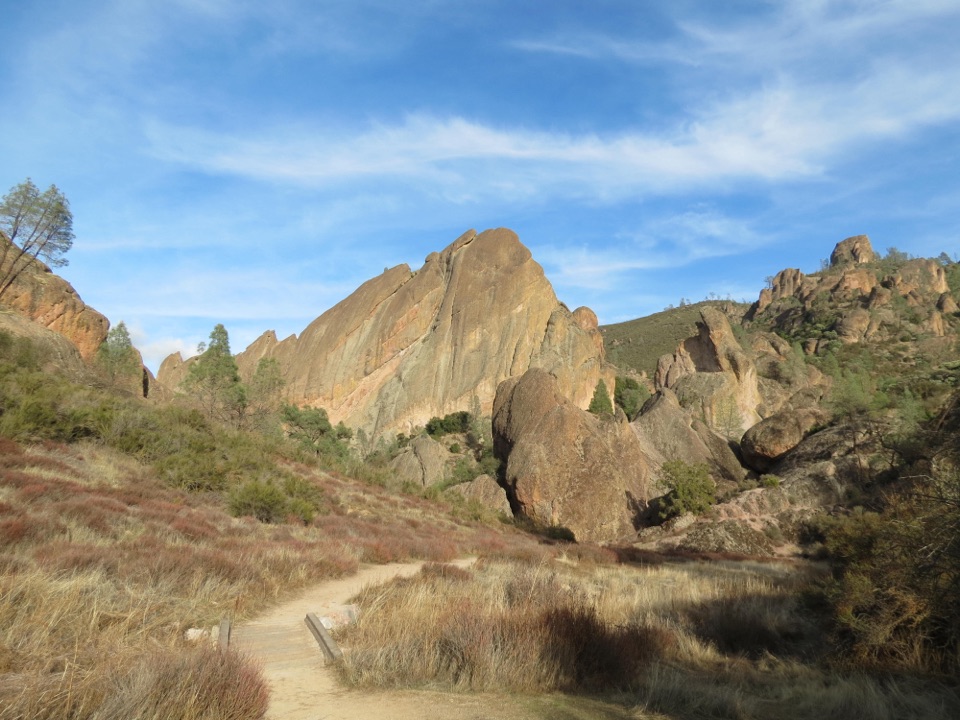 ModerateBalconies Cliffs-Cave Loop2.4 mi · 1.5 hr · At the trailheadDark caves and high cliffs in one short Pinnacles loopChallengingJuniper Canyon Trail Loop4.3 mi · 3 hr · 0.1 mi awaySteep rock steps, narrow ledges and a tunnel through the High Peaks.
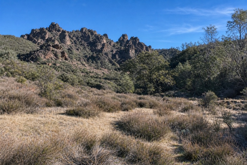 ModerateNorth Wilderness Trail to Twin Knolls3.1 mi · 2.5 hr · 0.1 mi awayA shorter North Wilderness climb to Twin Knolls views.
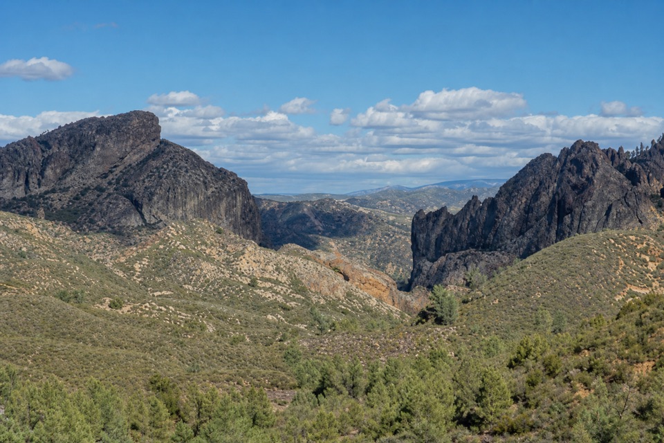 ModerateJawbone Trail1.2 mi · 45 min · 1.1 mi awayA short, steep descent opens onto big Pinnacles views.
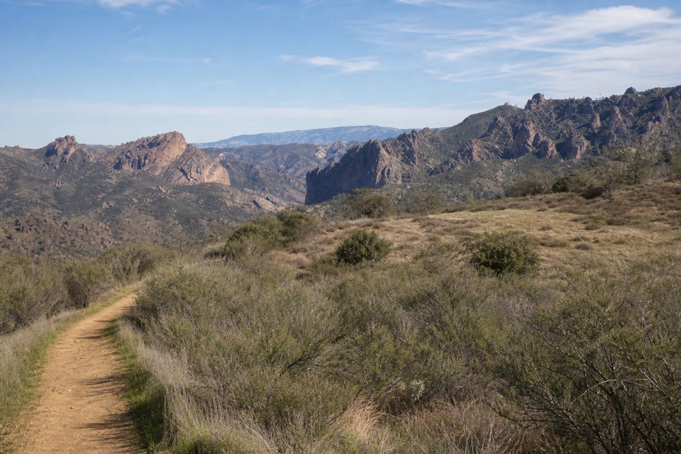 EasyPrewett Point Trail1 mi · 36 min · 1.3 mi awayAn easy hillside loop with sweeping views of the High Peaks.
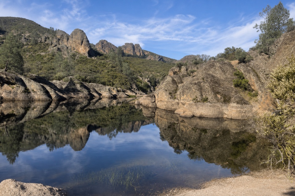 ModerateMoses Spring Trail to Bear Gulch Reservoir1 mi · 1.3 hr · 1.7 mi awayA short rocky climb to a ferny grotto and stone dam.
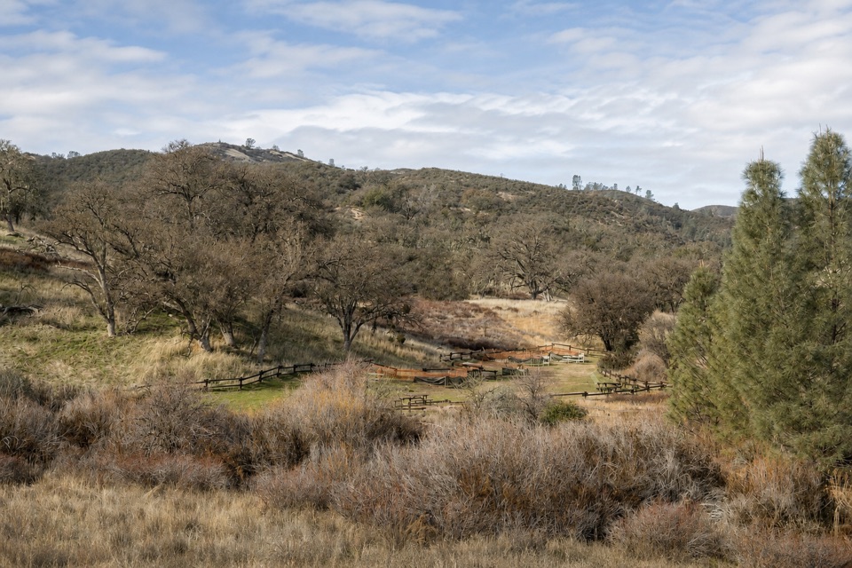 Picnic area · 0.1 mi awayChaparral Picnic AreaA handy picnic stop beside two popular west-side trail loops.
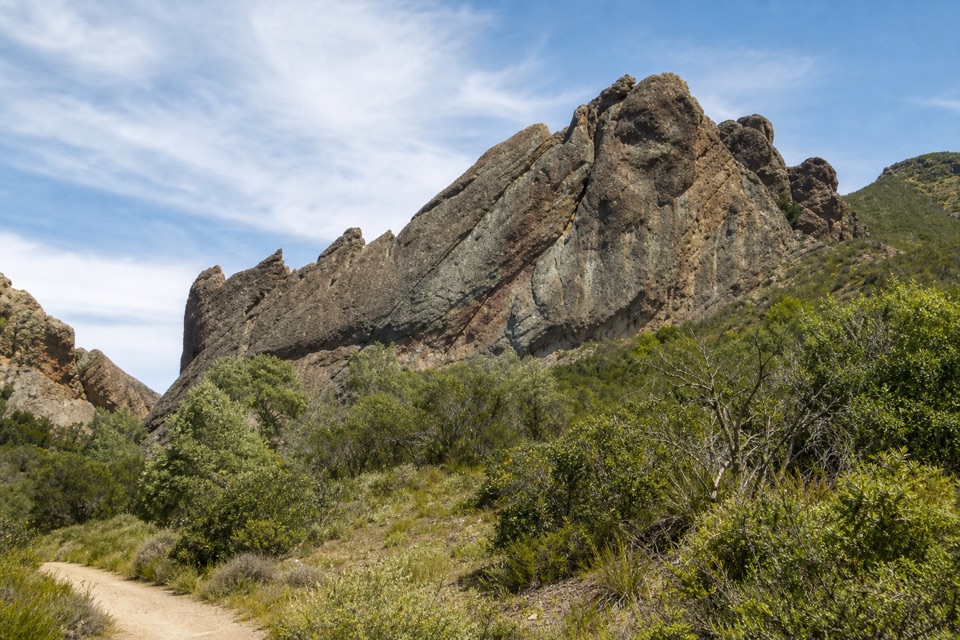 Sight · 0.6 mi awayMachete RidgeA huge fractured wall looms over the trail to Balconies Cave.
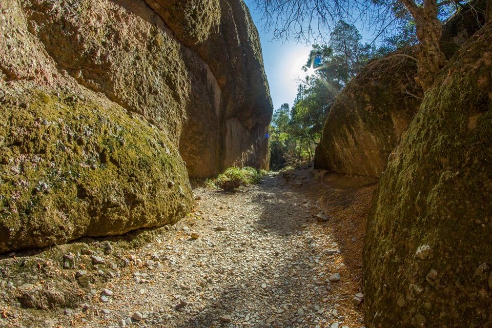 Sight · 0.7 mi awayBalconies CaveA short loop turns a cliff walk into a boulder-cave scramble.
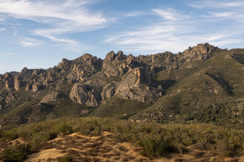 Sight · 1 mi awayPrewett Point OverlookA gentle walk to a broad overlook over volcanic spires
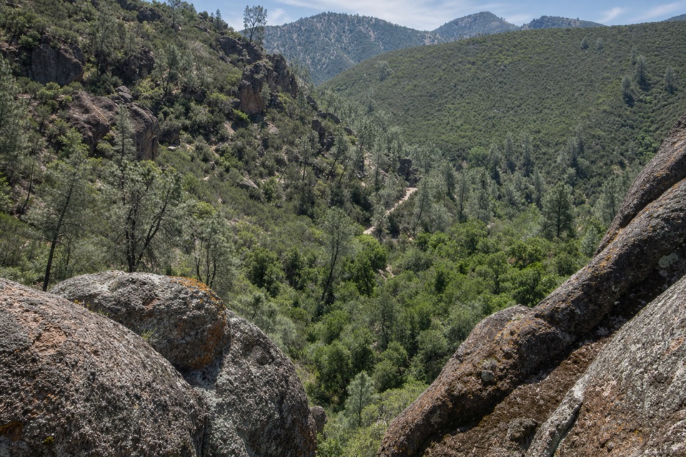 Sight · 1.1 mi awayCondor Gulch OverlookA worthwhile rocky pause before the tougher High Peaks climb.
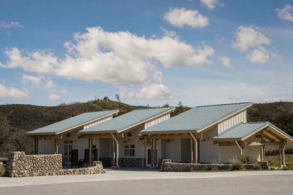 Visitor center · 1.3 mi awayWest Pinnacles Visitor Contact StationGet trail advice and water before you hike the west side.
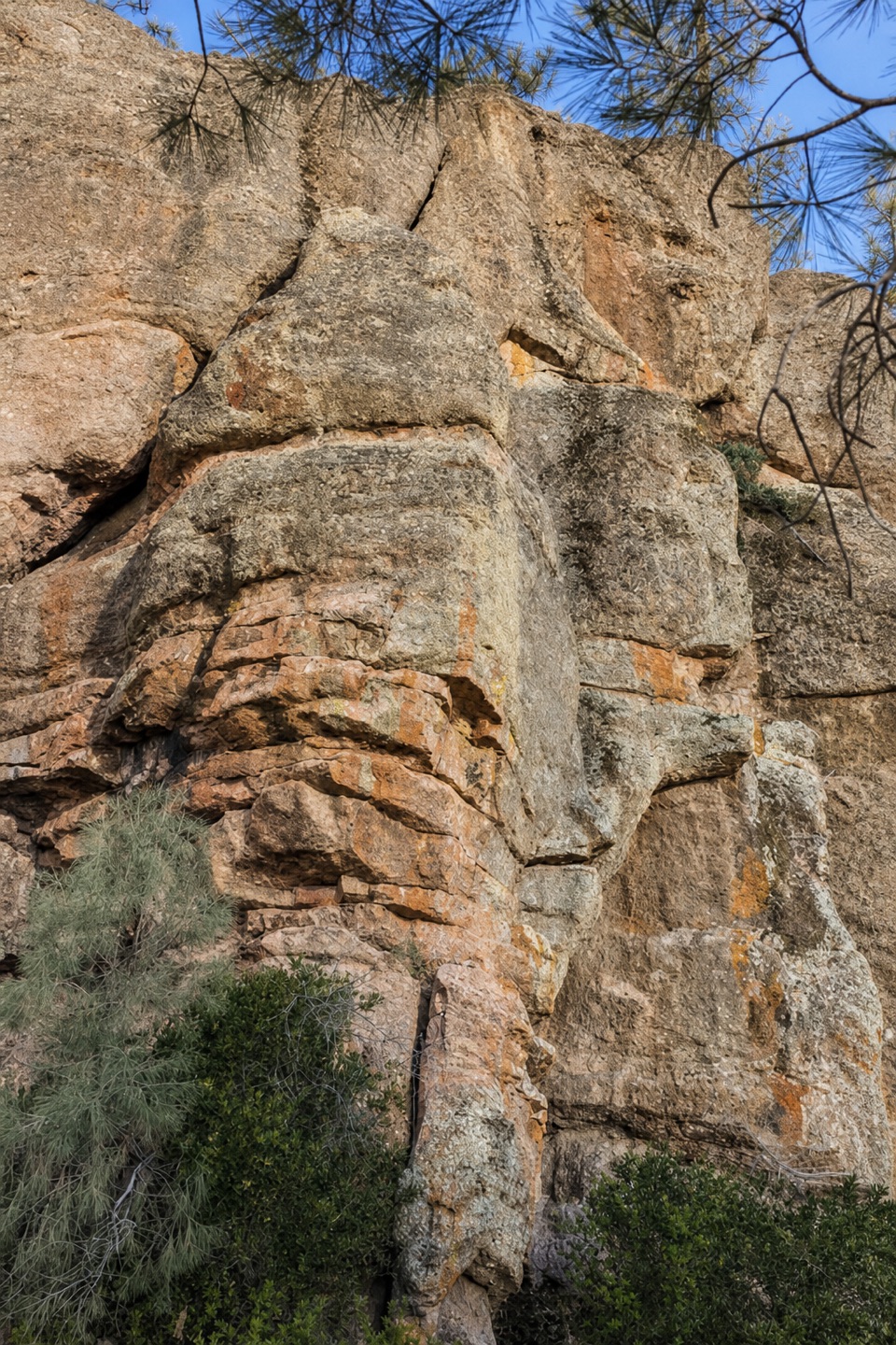 Sight · 1.7 mi awayDiscovery WallA technical crag where weak volcanic rock demands care.
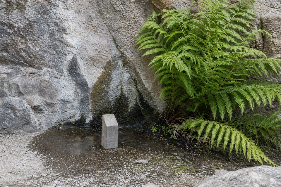 Sight · 1.7 mi awayMoses SpringA rock-wall spring worth a pause; don’t drink the water.
Parkwolf’s Pinnacles ranking

The audio tour guide for the drive, plus offline maps, trails, and wildlife heatmaps for when the signal drops.