Parking
The Costens Point Firetrail meets Maianbar Road at the route start. No designated car park or formal roadside-parking arrangement was confirmed.
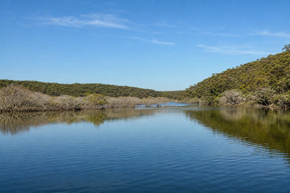
Royal National Park, NSW
A quick firetrail descent to old stone ruins by Port Hacking.
Overview
Map & elevation
Plan your hike

The highest, rockiest slopes around here are a summer buffet for grizzly bears.
Royal Tour Guide
Parkwolf is a GPS audio tour guide for Royal National Park. As you drive, it chimes in with what’s ahead: hidden gems, upcoming stops, history, geology, and wildlife, right through your car’s speakers.
Recorded for this trailhead
Costens Point Walk to the Shore“You're approaching Costens Point Firetrail on Maianbar Road, the walking access to stone ruins beside Port Hacking. Allow one to two hours for about two and a half kilometres return.”
Plays as you drive up to this trailhead in the Parkwolf Royal Tour Guide.
More stories near here in the app
“Fantastic app with many points of information… It’s great to just turn on while you’re driving and it gives you an audio tour of the national Park. We love it!!!!”


Trail guide
Costens Point Walk is a short out-and-back on the named firetrail from Maianbar Road to the Port Hacking shore. The mapped corridor is 1.27 km each way, so the full return is about 2.55 km (1.58 miles); allow 1 to 2 hours with a stop at the point. The track loses roughly 100 m on the way down, which makes the uphill return the main effort. A 4 km estimate and a separate 6.8 km listing describe longer totals, but their extra route lines could not be matched to this direct firetrail, so they are not included here.
The route follows a broad, unpaved firetrail from its Maianbar Road access to the water, then turns back along the same corridor. A published route account calls it easy; the mapped elevation profile shows nearly 100 m between the road and shore, so expect a real climb on the way back. No toilets, drinking water or food are documented at this access or along the route.
A 2024 walk report describes stone ruins at the point and identifies the headland as a midden. The reported date for the ruin is only a local estimate, around 1870. Leave the stonework and midden undisturbed. Some descriptions suggest continuing along the foreshore toward Red Jacks, but that is a separate, unverified coastal outing and is not part of this mapped walk. Pets are not allowed in Royal National Park; trained assistance animals are permitted while working.
Wildlife
 56 sightingsHumpback WhaleMost seen around 11 AMSighting map
 68 sightingsWhite-bellied Sea-EagleMost seen around 9 AMSighting map
 12 sightingsKoalaMost seen around 6 PMSighting map
 33 sightingsJavan RusaMost seen around 6 PMSighting map
 69 sightingsShort-beaked EchidnaMost seen around 5 PMSighting map
 11 sightingsRed FoxMost seen around 5 PMSighting map
Sighting maps show where each species has been reported across Royal. Wildlife moves, so no sighting is guaranteed.
Keep exploring
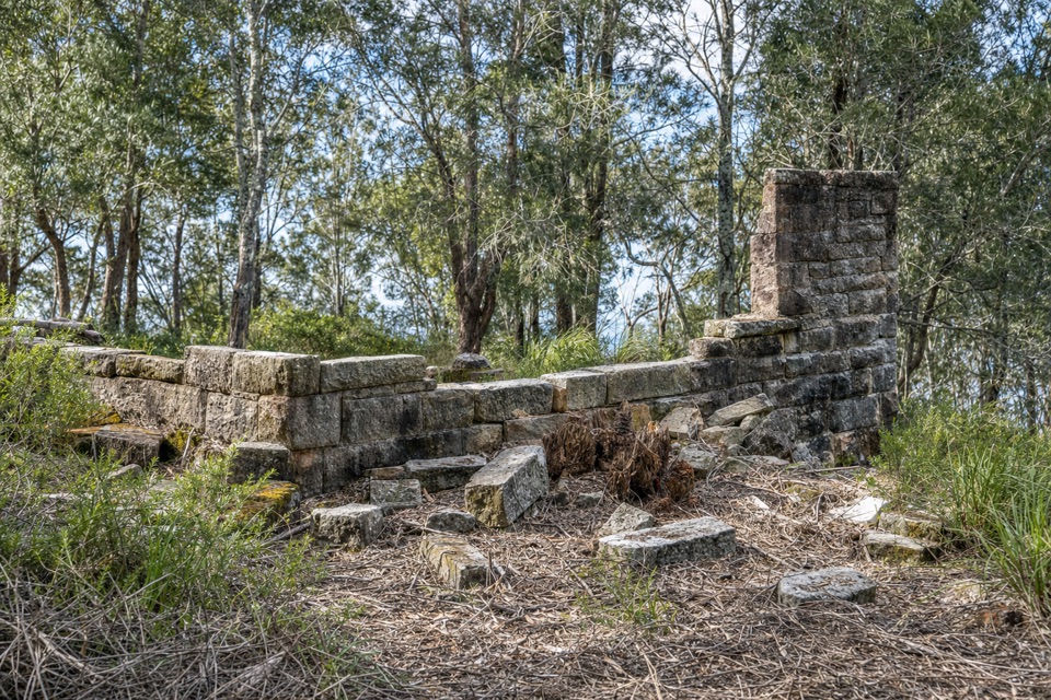 ModerateRed Jacks Point Walk2.1 km · 45 min · 1 km awayStone ruins and small islets reward a short bush walk.
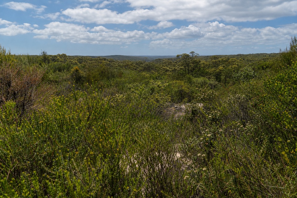 ModerateAnice Falls Walk4.1 km · 2 hr · 1.4 km awayA short return to a tucked-away waterfall best seen from above.
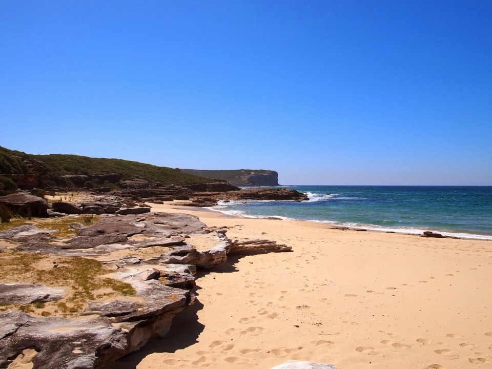 ModerateBundeena Drive to Marley walk7.8 km · 3.5 hr · 1.7 km awayHeath and creek pools make the coastal walk feel like two hikes.
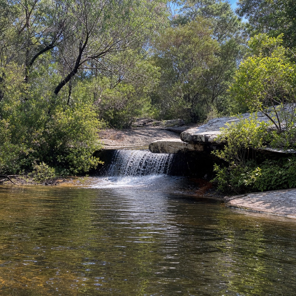 ModerateDeer Pools Walk4 km · 1.5 hr · 1.7 km awayA short heath walk to a shaded cascade and rock pool
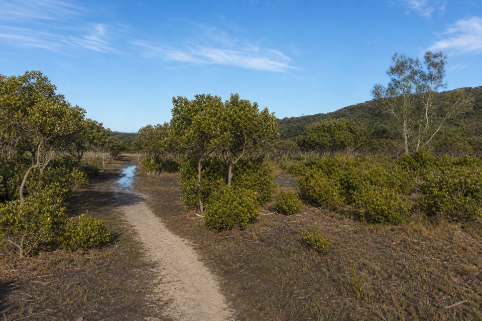 EasyBonnie Vale to Maianbar Walk1.5 km · 30 min · 2.3 km awayA quick creek crossing and bush climb to Maianbar.
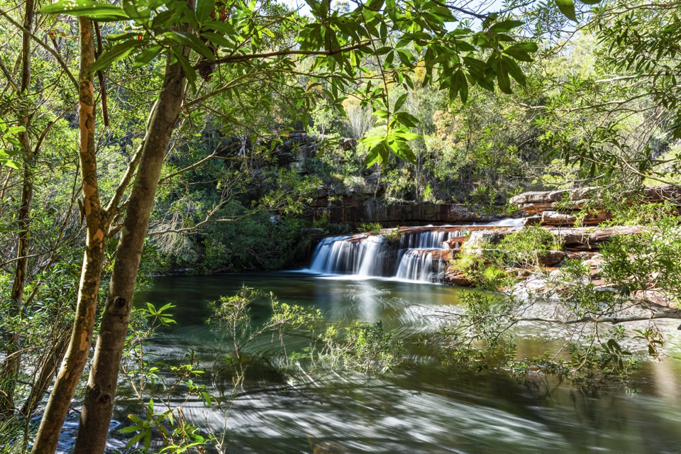 ChallengingMount Bass Trail to Winifred Falls7 km · 3.5 hr · 3.2 km awayA hard, rocky 7 km return to Winifred Falls
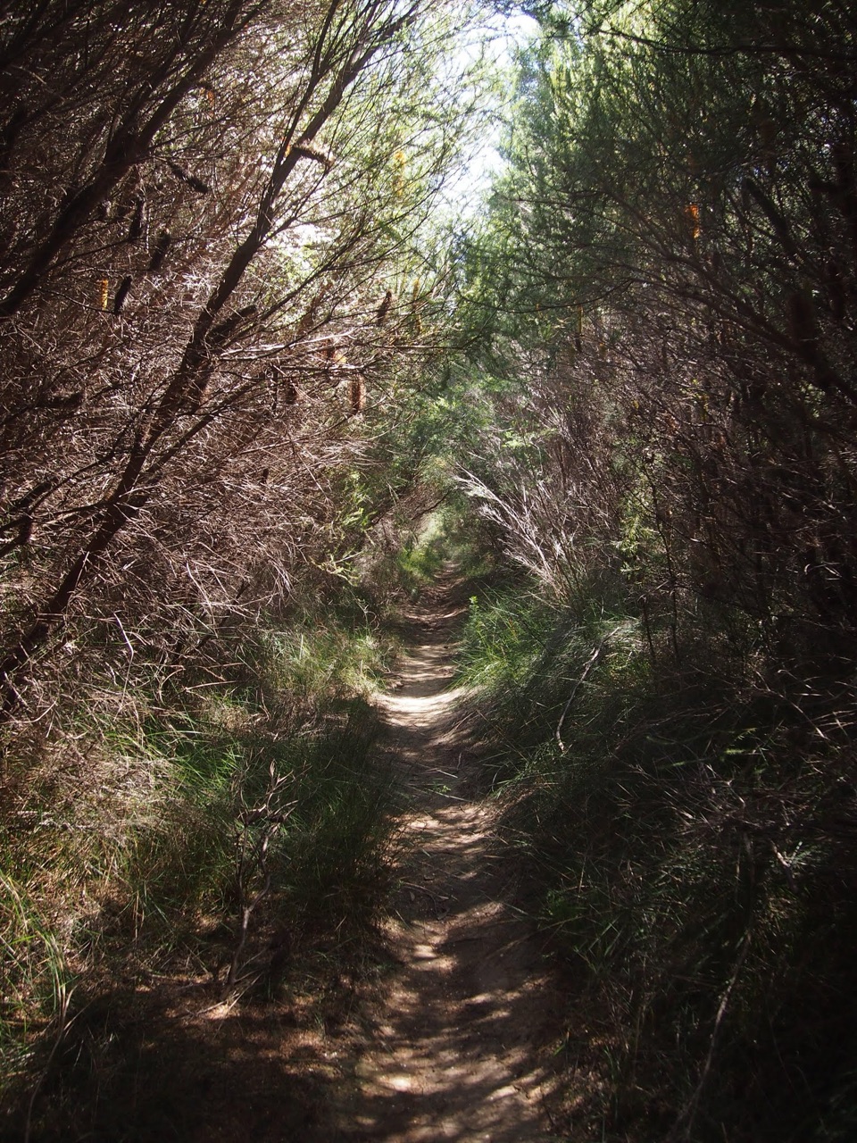 ModerateWinifred Falls Track3.1 km · 1.5 hr · 3.6 km awayA return fire trail drops to Winifred Falls and its deep pool.
 EasyJibbon Loop Track5.2 km · 2 hr · 3.7 km awayA sandy beach, Dharawal engravings and a rugged headland in one loop.
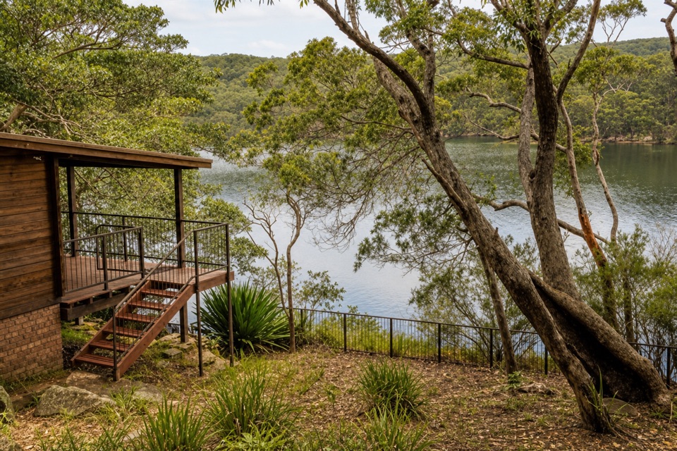 Lodging · 1.1 km awayWeemalah CottageA self-contained riverside stay for a group of up to six.
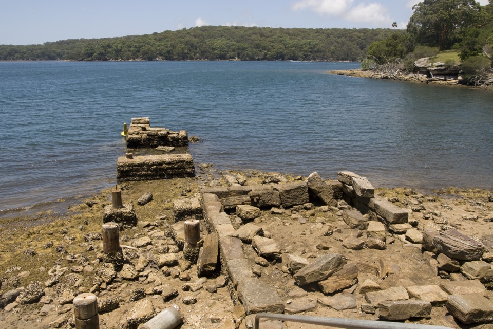 Picnic area · 1.5 km awayWarumbul Picnic AreaA quiet Port Hacking picnic with a short walk to the water.
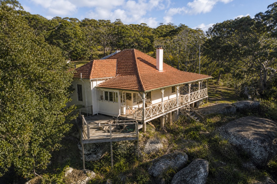 Lodging · 1.9 km awayHilltop CottageA heritage cottage for six, overlooking Port Hacking.
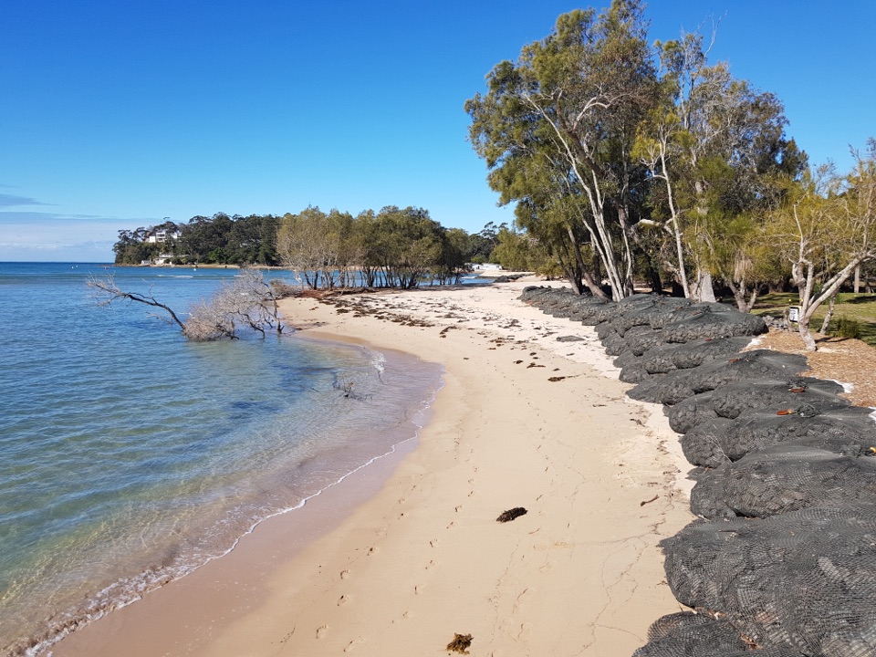 Campground · 2.4 km awayBonnie Vale CampgroundCamp beside a sandy spit with sheltered water right out front.
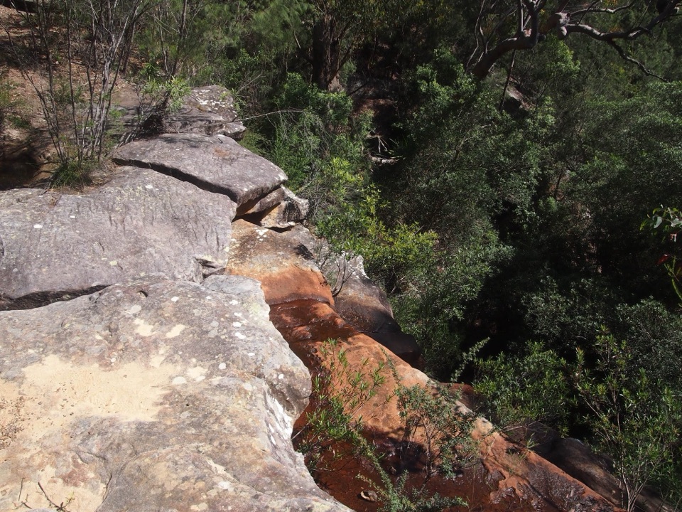 Sight · 2.6 km awayAnice FallsA smaller cascade for a longer Winifred Falls outing.
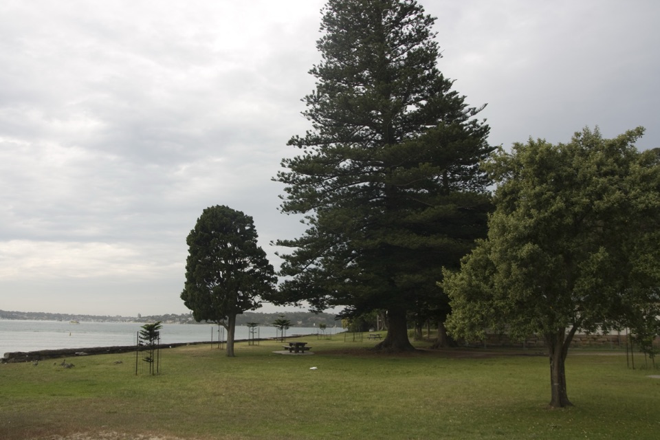 Picnic area · 2.8 km awayBonnie Vale Picnic AreaA shady picnic lawn beside sheltered water for swims and paddles.Sight · 2.9 km awayWinifred FallsA rocky bushwalk to a broad waterfall and creekside pool.
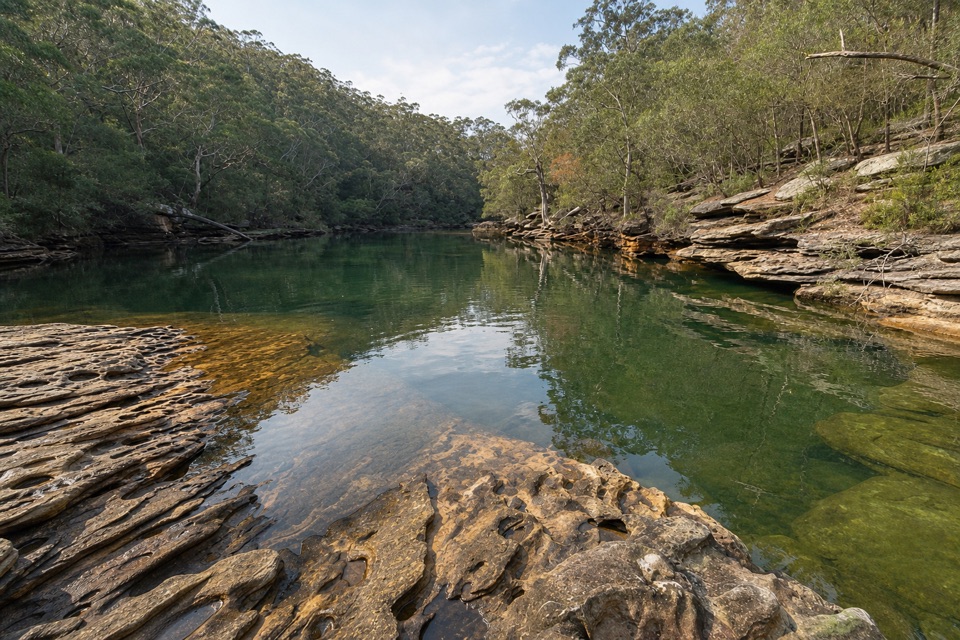 Sight · 3 km awaySouth West Arm PoolDeep water and a tidal sandbar below Winifred Falls.
Parkwolf’s Royal ranking

The audio tour guide for the drive, plus offline maps, trails, and wildlife heatmaps for when the signal drops.




