Parking
Roadside parking near the Wallumarra Track and Sir Bertram Stevens Drive junction. Vehicle entry fees apply; parking capacity was not found.
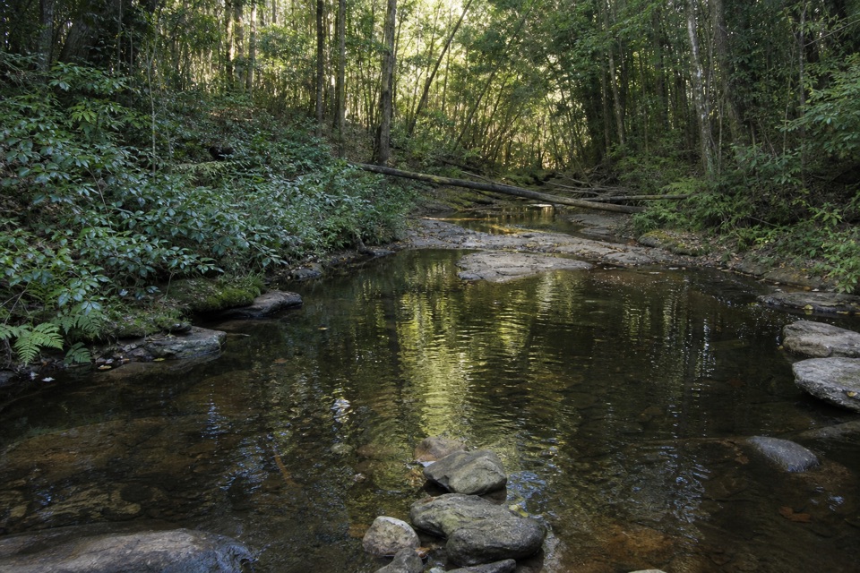
Royal National Park, NSW
Ridge heath gives way to a palm-lined loop beside Bola Creek.
Overview
Map & elevation
Plan your hike

The highest, rockiest slopes around here are a summer buffet for grizzly bears.
Royal Tour Guide
Parkwolf is a GPS audio tour guide for Royal National Park. As you drive, it chimes in with what’s ahead: hidden gems, upcoming stops, history, geology, and wildlife, right through your car’s speakers.
Recorded for this trailhead
Wallumarra Track to Bola Creek“You're approaching the Wallumarra Track start on Sir Bertram Stevens Drive, where open heath gives way to shaded Bola Creek.”
Plays as you drive up to this trailhead in the Parkwolf Royal Tour Guide.
More stories near here in the app
“Fantastic app with many points of information… It’s great to just turn on while you’re driving and it gives you an audio tour of the national Park. We love it!!!!”


Trail guide
Wallumarra Track and Forest Path Circuit is an approximately 12.5 km (7.8-mile) loop from the Wallumarra Track–Sir Bertram Stevens Drive junction. Allow about 4.5 hours. It drops from ridge heath to Bola Creek, circles Forest Island on the shaded Forest Path, then retraces the Wallumarra approach; the route climbs about 388 m. It is a half-day walk for anyone happy to repeat the ridge approach to reach the creek forest.
Start on the broad ridge service track through heath, then take the narrower Wallumarra footpath downhill through woodland. The creek marks a clear change from exposed, drier ridge walking to a shaded, close-sided valley. Expect small crossings and uneven footing as the path follows the water; the route reaches a picnic area at Bola Creek before the Forest Path circuit.
A short section of Lady Carrington Drive links the Wallumarra descent to Forest Path, which curves around the lower slopes of Forest Island beside Bola Creek and the Hacking River. The island is almost surrounded by the two waterways. The path dates to 1886; community protest helped protect this rainforest from logging. Look for cabbage tree palms, tall eucalypts and casuarinas, and winter-flowering Gymea lilies. There are no sweeping lookouts here: the creek and enclosed rainforest are the payoff.
For a route-specific photo, frame the creek with its leafy banks and palms so the water and rainforest sit together in the shot.
The combined outing is a moderate Grade 3 walk, with around 388 m of climbing over the full circuit. Forest Path is gentler, but the approach and the return climb out of the valley add the work; rocky steps and rough patches are noted on the ascent. Leeches are a recurring wet-weather nuisance. Track junctions can be confusing and phone reception may be patchy, so an offline map is useful.
Roadside parking is reported near the Wallumarra Track and Sir Bertram Stevens Drive junction; a vehicle entry fee applies to the park. Bola Creek picnic area is on the route, though picnic spaces are limited. The route information does not identify a drinking-water source, toilets or food seller, so carry water and food. Domestic pets are not permitted, except certified assistance animals.
If the full circuit is too long, the separate Forest Path walk is a 4.4 km loop from the stone gates at Sir Bertram Stevens Drive, usually 1 to 1.5 hours. It skips the Wallumarra ridge descent and the repeated approach.
Wildlife
 56 sightingsHumpback WhaleMost seen around 11 AMSighting map
 68 sightingsWhite-bellied Sea-EagleMost seen around 9 AMSighting map
 12 sightingsKoalaMost seen around 6 PMSighting map
 33 sightingsJavan RusaMost seen around 6 PMSighting map
 69 sightingsShort-beaked EchidnaMost seen around 5 PMSighting map
 11 sightingsRed FoxMost seen around 5 PMSighting map
Sighting maps show where each species has been reported across Royal. Wildlife moves, so no sighting is guaranteed.
Keep exploring
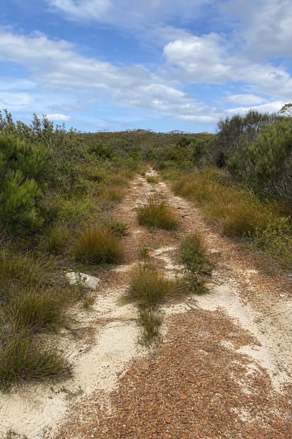 ModerateWallumarra Track to Bola Creek Walk4.7 km · 1.5 hr · At the trailheadSand, stone steps, then a shaded walk beside Bola Creek.
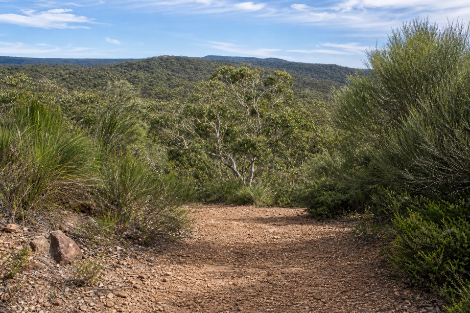 ModerateWises Track4.1 km · 1.5 hr · 1.1 km awayA one-way heath walk with a sandy banksia finish.
 ModerateCurra Moors Loop Track10 km · 4.5 hr · 1.2 km awayHeath, sandstone cliffs, and a waterfall that pours straight into the sea.
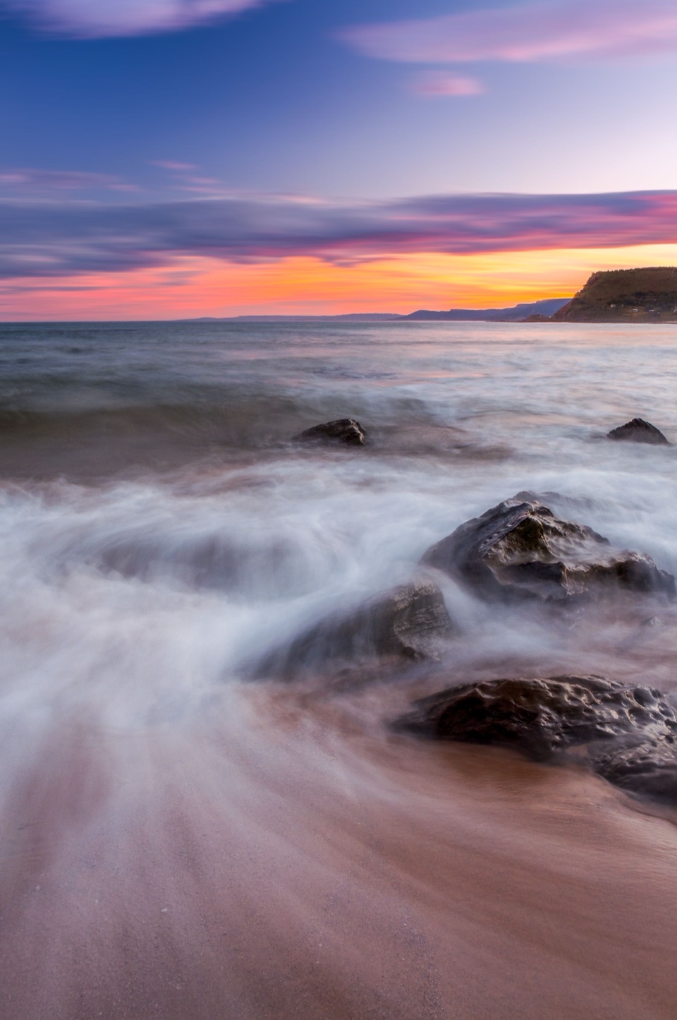 ChallengingCurra Moors to Garie Beach9 km · 3.5 hr · 1.2 km awayA heathland walk that drops from the moors to Garie Beach.
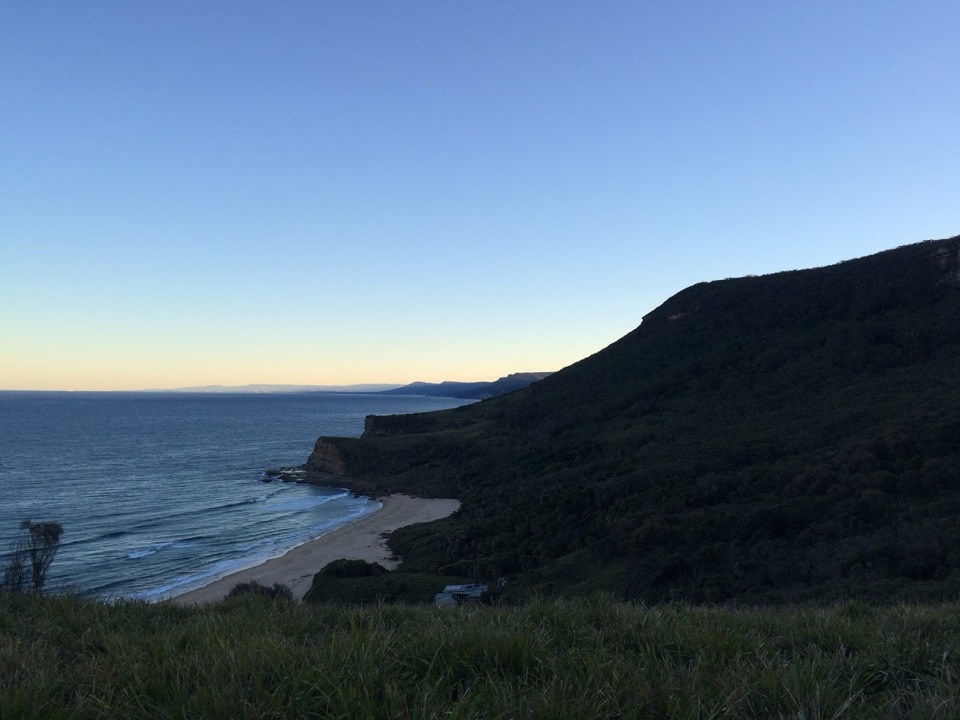 ChallengingGarie Beach, Garawarra and Burning Palms Circuit13.5 km · 7 hr · 2.1 km awayA hard coastal loop from Garie Beach to Burning Palms
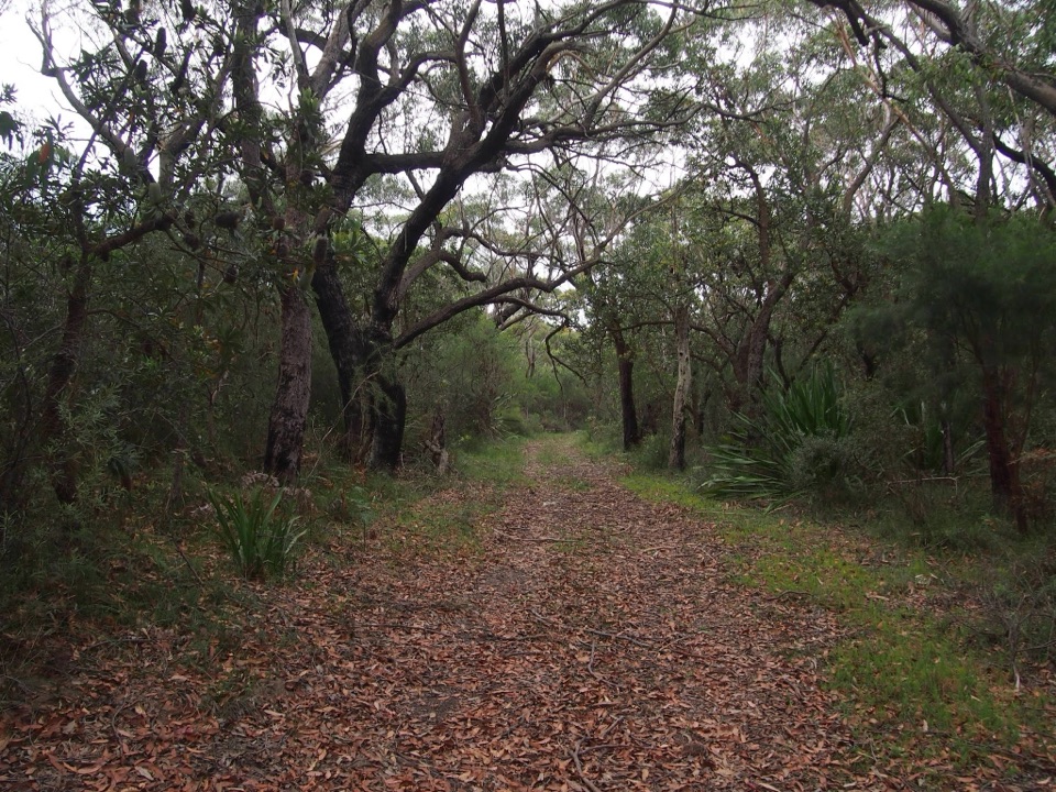 ChallengingGarie Beach to Helensburgh via The Burgh Track10.3 km · 4.5 hr · 2.1 km awaySea cliffs, a hard climb, and a finish at the station.
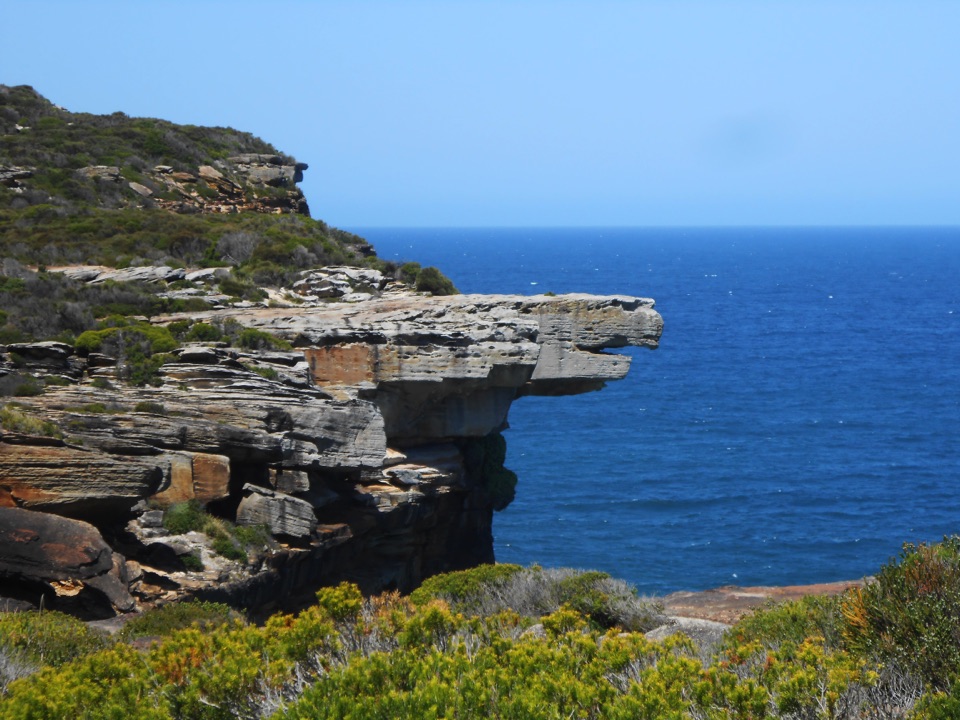 ModerateGarie Beach to Eagle Rock8.6 km · 3.5 hr · 2.1 km awayFind an eagle profile and an ocean waterfall at the far end.
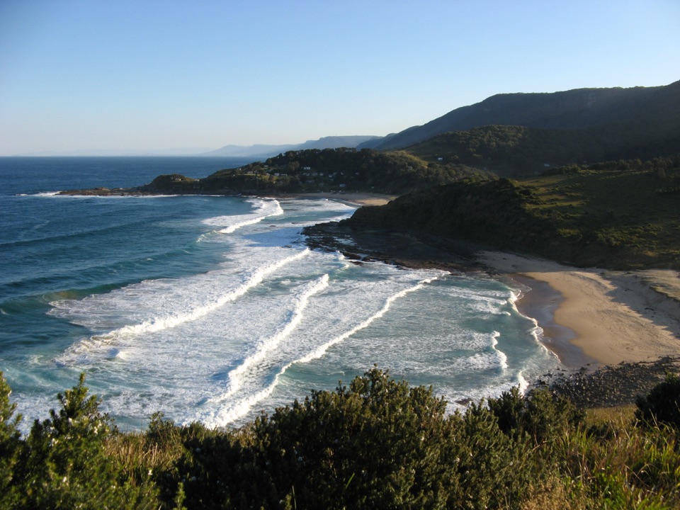 ModerateGarie Beach to North and South Era4.6 km · 3.5 hr · 2.1 km awayA stair-climbing coastal walk to two remote Era beaches.
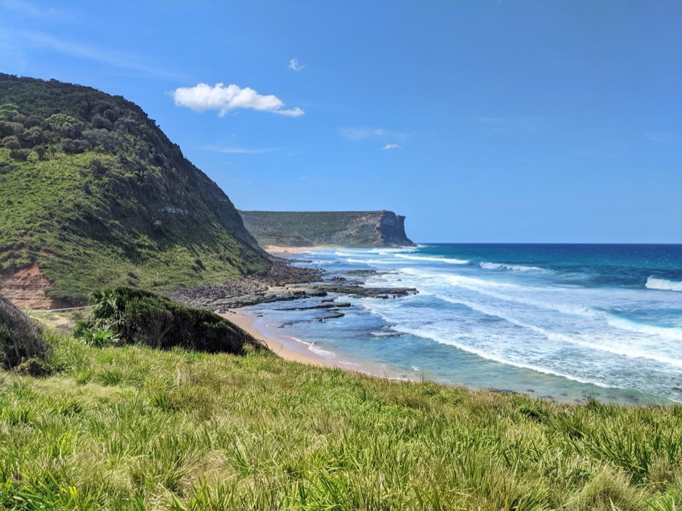 Beach · 2.2 km awayGarie BeachA kilometre of sand beneath green cliffs and headlands.
 Sight · 2.2 km awayGovernor Game LookoutA wide coastal pause on the road to Garie Beach.
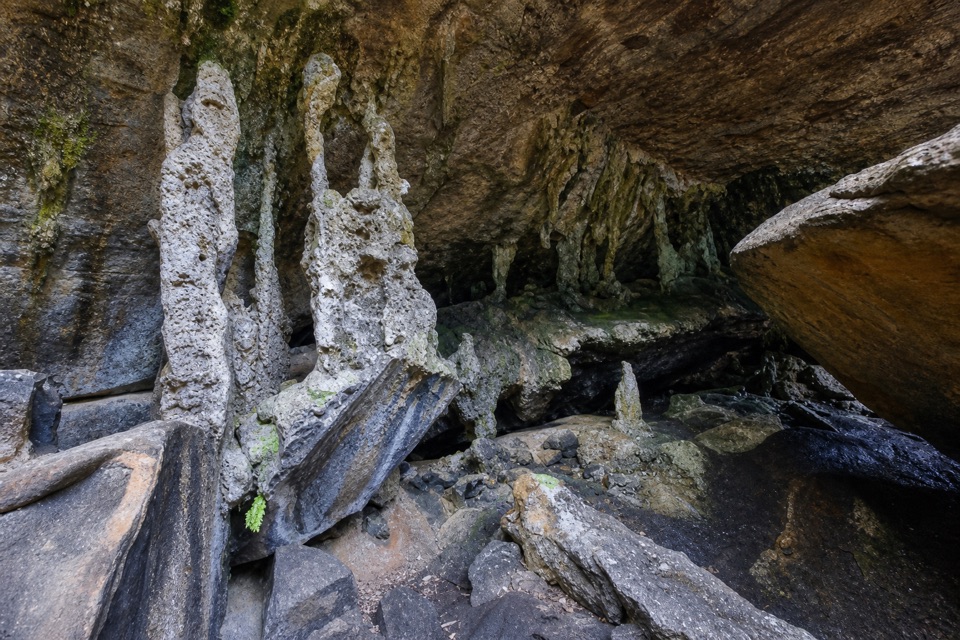 Sight · 2.5 km awayPalona CaveA shaded overhang and small waterfall reward a rainforest walk.
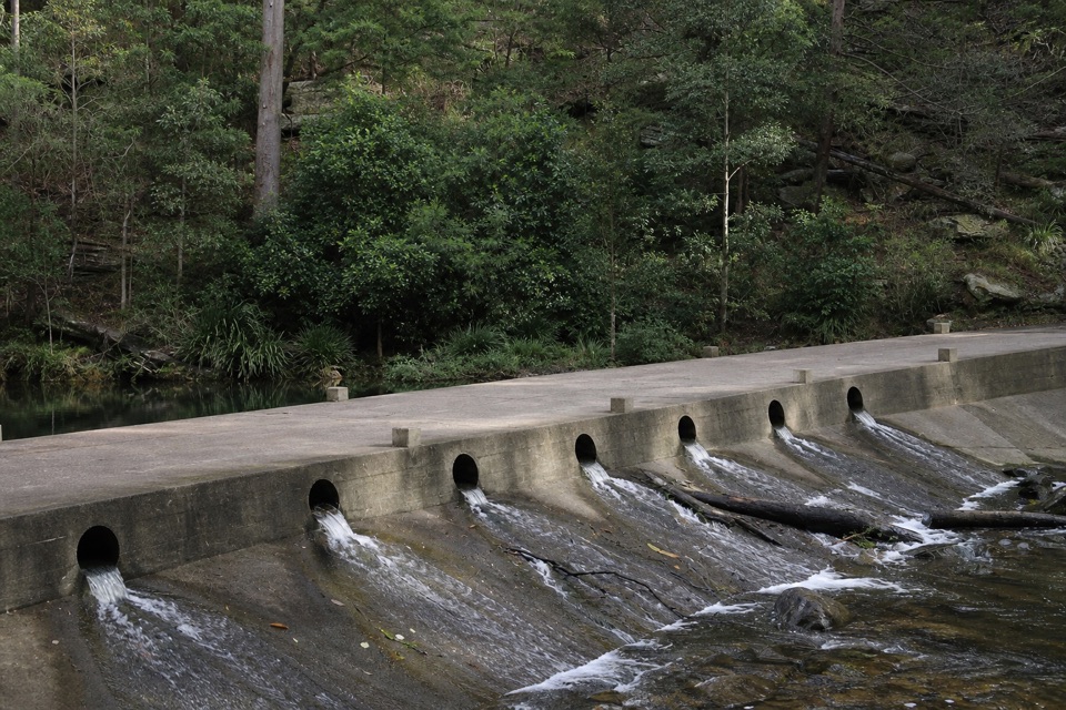 Picnic area · 2.8 km awayUpper Causeway Picnic AreaA quick picnic pause before a forest walk or bike ride.
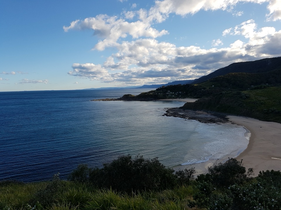 Beach · 2.9 km awayNorth Era BeachA remote surf beach reached by a 90-minute Coast Track walk.Beach · 3.3 km awaySouth Era BeachA walk-in shore with a rare, tightly clustered cabin community.
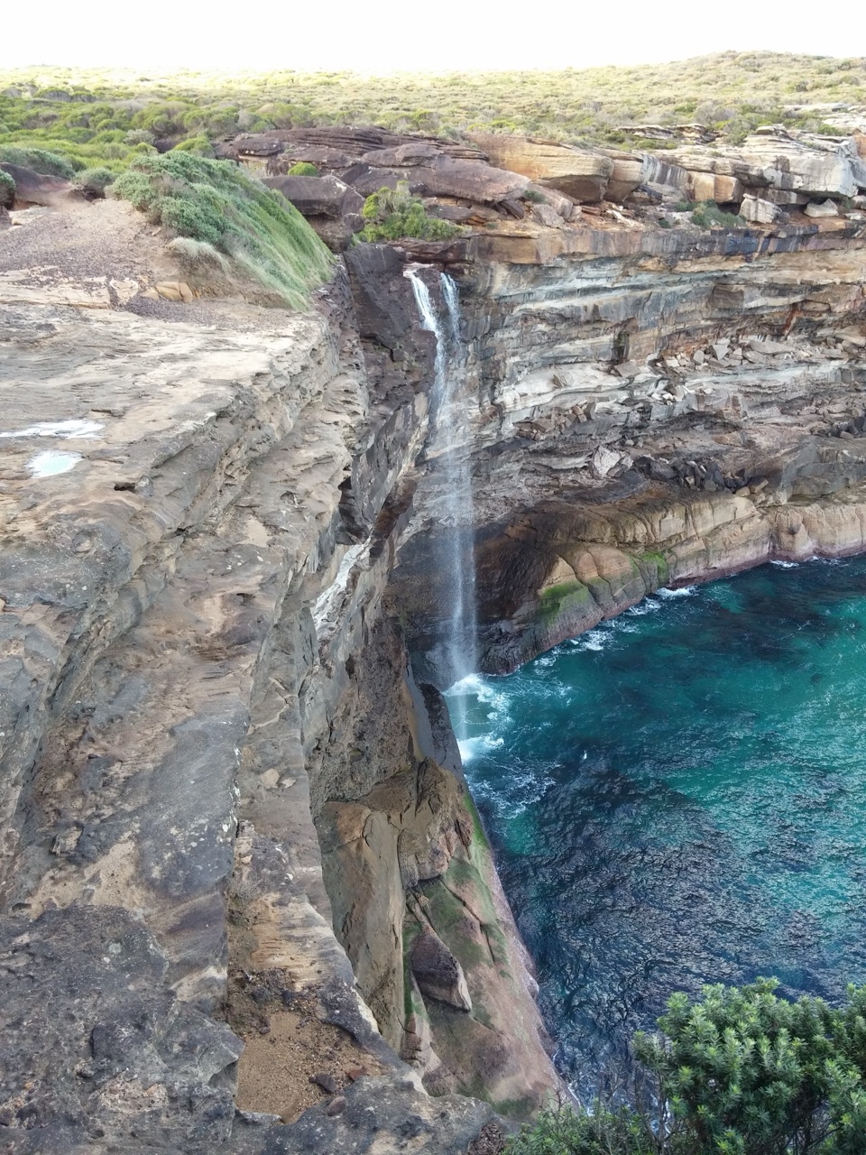 Sight · 3.6 km awayCurracurrong FallsA coastal waterfall drops straight into the Pacific.
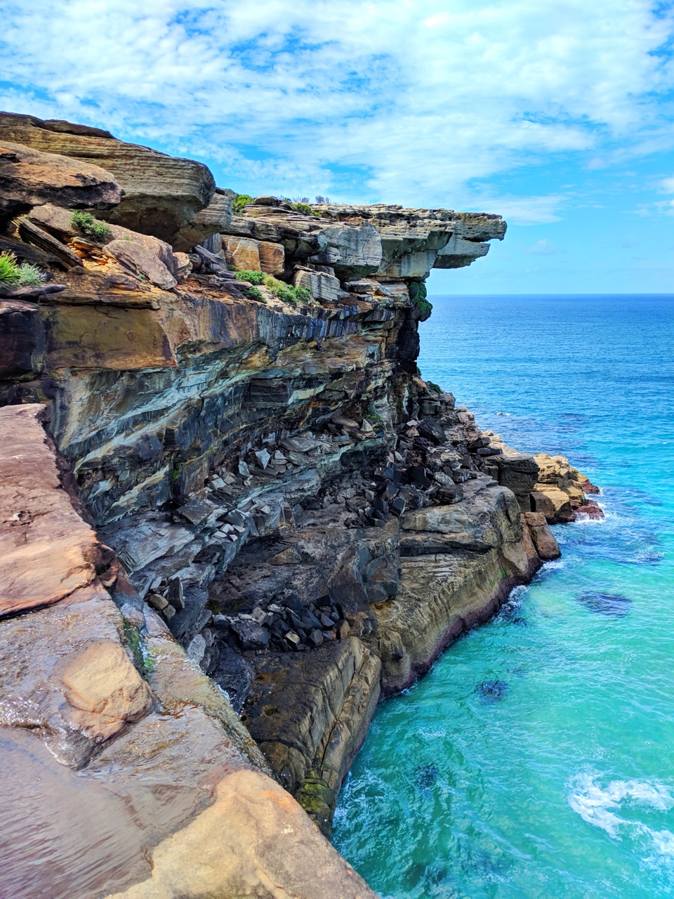 Sight · 3.7 km awayEagle RockA sandstone overhang on the Coast Track with an eagle's profile.
Parkwolf’s Royal ranking

The audio tour guide for the drive, plus offline maps, trails, and wildlife heatmaps for when the signal drops.




