Arizona Trail Passage 9: Rincon Mountains in Saguaro National Park

Saguaro National Park, AZ

Arizona Trail Passage 9: Rincon Mountains

Saguaros give way to pines after a 6,000-foot climb.

Length
24.3mi
Time
16hr
Elev. change
5,285ft
Difficulty
Challenging
  • No dogs
  • High point 8,392 ft
Parkwolf audio tour43 stories across Saguaro’s roads

Overview

About Arizona Trail Passage 9: Rincon Mountains

Why go

  • Six plant communities make the climb a striking change from saguaros to mixed-conifer forest.
  • Historic Manning Camp and a separate Mica Mountain summit spur reward the high-country effort.

Heads up

  • The first 14 miles gain more than 6,000 feet, and the point-to-point finish needs a shuttle.
  • A 2.8-mile access walk, scarce seasonal water, and camping permits make logistics demanding.

Map & elevation

The route

Loading the Saguaro map
Full map
Elevation3,107–8,392 ft
TrailheadArizona Trail at Saguaro’s southern boundary near Hope Camp32.12964, -110.64472
Keep this map with you offline in the Parkwolf app

Plan your hike

Before you go

Parking

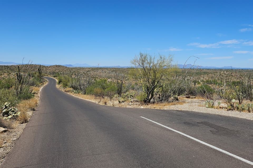
South end: limited parking at Loma Alta Trailhead, reached by a final half-mile dirt road. The passage starts another 2.8 miles east on Hope Camp Trail. North end: the trail crosses remote Redington Road; arrange a shuttle and check the road approach before the trip.

Safety

The first 14 miles climb more than 6,000 feet. Water is seasonal and scarce, lower elevations can be dangerously hot in summer, and winter storms can leave snow high on the route. Treat natural water and take care crossing Redington Road. Pets are prohibited in Saguaro Wilderness.

3 active Saguaro alerts

  • CautionHazards in Rincon Mountain burn areasMentions Rincon Mountain, referenced in this guideStay on trails and use extra caution in high-elevation Rincon Mountain areas burned by the two 2020 fires; fire damage can leave unstable ground and other hazards.Official details
  • ClosureTucson Mountain District road closuresSeveral Tucson Mountain District roads are closed; follow posted closures and use McCain Loop to bypass the Kinney Road closure.Official details
See all 3 alerts
A park ranger sits on a dash-mounted phone, talking, as Parkwolf’s Tour Guide plays “Army Cutworm Moths: A Grizzly Bear Buffet” on Grand Loop Road below Dunraven Pass in Yellowstone
Parkwolf Tour GuideThe highest, rockiest slopes around here are a summer buffet for grizzly bears.

Saguaro Tour Guide

Your drive to Arizona Trail Passage 9: Rincon Mountains, narrated.

Parkwolf is a GPS audio tour guide for Saguaro National Park. As you drive, it chimes in with what’s ahead: hidden gems, upcoming stops, history, geology, and wildlife, right through your car’s speakers.

See the Saguaro audio tour

More stories near here in the app

  • Loma Alta: Ridgeview’s Canyon View
  • Water From a Seed
  • Javelina Rocks: Stripes in the Stone
  • Rincon Mountains Overlook
  • 43 audio storiesacross Saguaro’s roads, triggered by GPS as you drive
  • Wildlife heatmapsfor Black Bear, Mountain Lion, Mule Deer, and 13 more
  • Works offlinemaps, 74 trails, 40 places, and audio download before you lose signal
  • CarPlay readysimple controls built for the drive
★★★★★
“Fantastic app with many points of information… It’s great to just turn on while you’re driving and it gives you an audio tour of the national Park. We love it!!!!”
JMJamesApp Store review
Download Parkwolf on the App StoreGet Parkwolf on Google Play

4.7 from 8,600+ ratings

Trail guide

Hiking Arizona Trail Passage 9: Rincon Mountains

The long crossingPassage 9 is a 24.

Passage 9 is a 24.3-mile, one-way crossing from Saguaro National Park’s southern boundary to Redington Road, climbing over the Rincon Mountains and continuing into Coronado National Forest. It is a point-to-point route, not a loop, so arrange a shuttle. The first 14 miles gain more than 6,000 feet. Allow about 16 hours on foot for the passage itself, or plan an overnight trip; this is a hard backcountry route, not a casual day hike. The 0.4-mile Mica Mountain summit spur is separate from the passage distance.

Getting to the southern startThe route begins where the Arizona Trail meets Saguaro’s south boundary near Hope Camp, not at…

The route begins where the Arizona Trail meets Saguaro’s south boundary near Hope Camp, not at a parking lot. The practical vehicle access is the limited parking at Loma Alta Trailhead. From there, follow Hope Camp Trail about 2.8 miles east to reach Passage 9; the final half-mile of road to the lot is dirt. At the other end, the trail crosses remote Redington Road. Plan the shuttle and both road approaches before you set out.

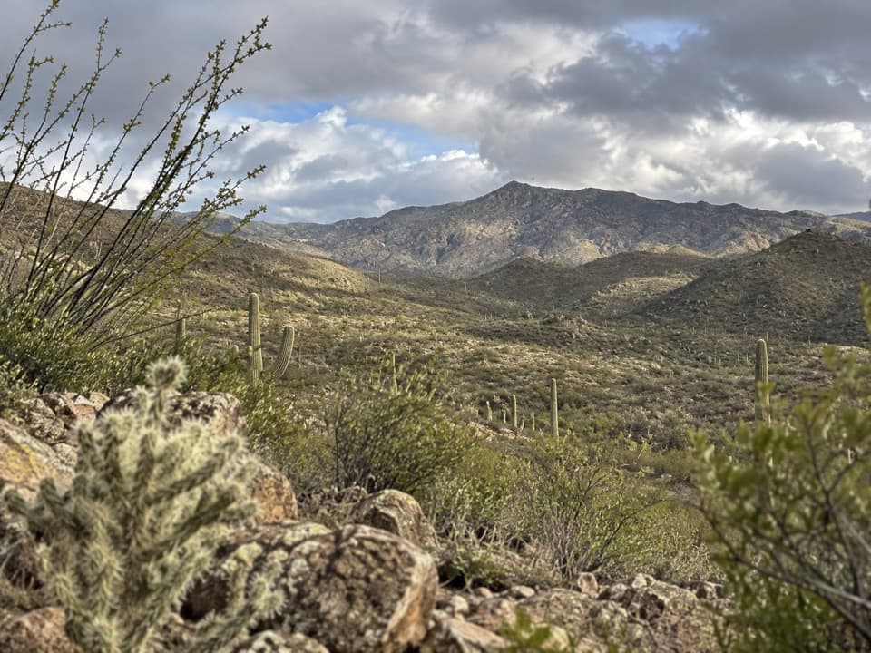
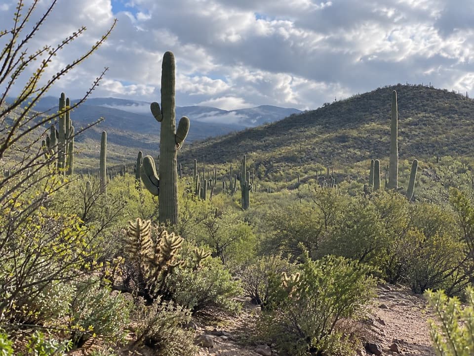
From saguaros to pine forestThe climb starts among dense saguaros and follows Quilter Trail before joining Manning Camp…

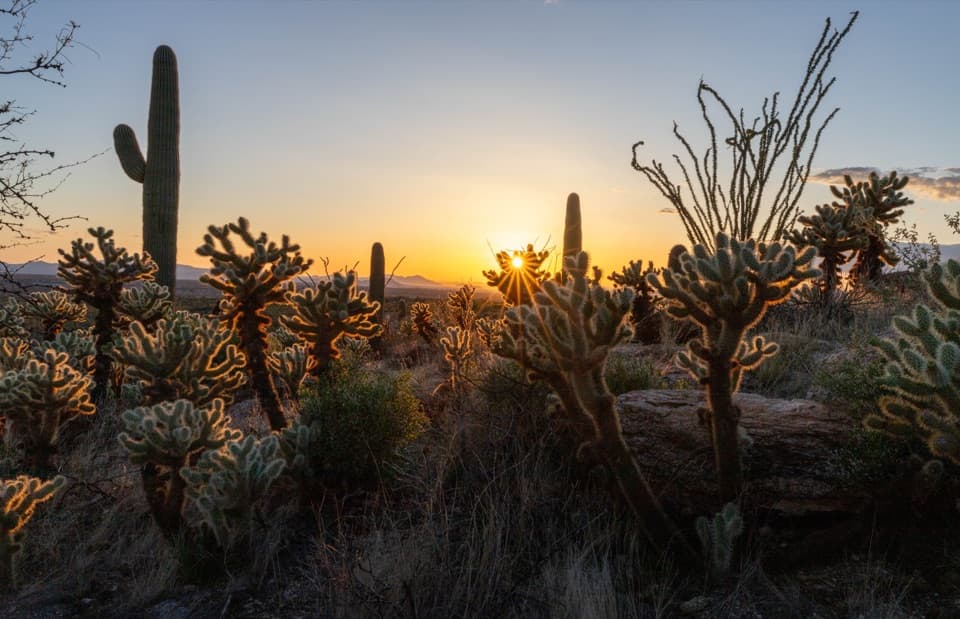
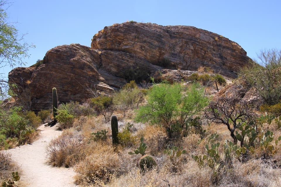
The climb starts among dense saguaros and follows Quilter Trail before joining Manning Camp Trail. Over the first 14 miles, the landscape moves through six plant communities: desert scrub, desert grassland, oak woodland, pine-oak, pine forest, and mixed-conifer forest. The rapid change in elevation is the point of this passage, but it makes timing matter: the low desert can be very hot in summer, while high elevations can hold snow after winter storms.

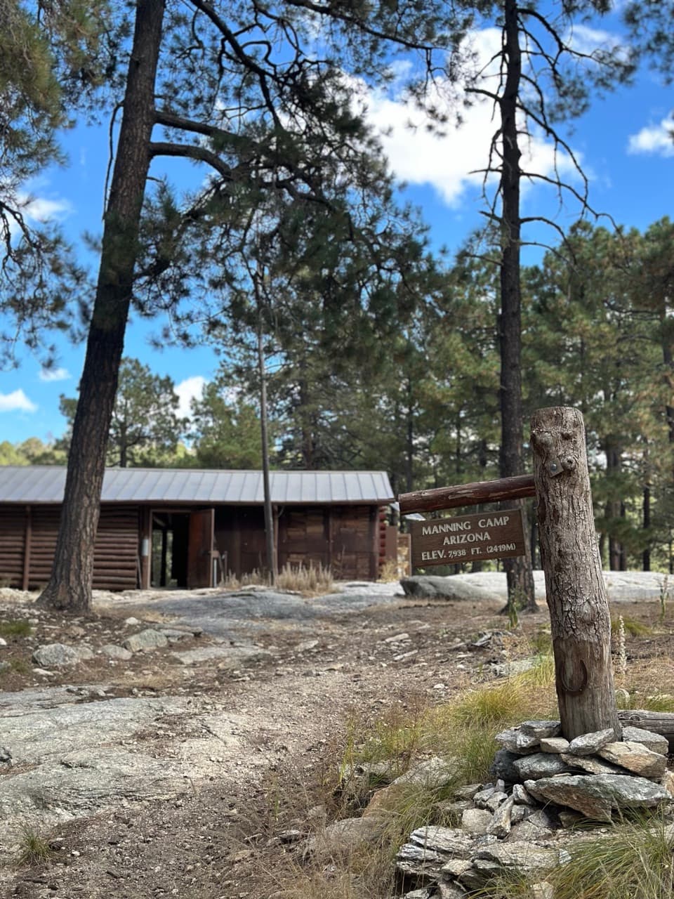
Manning Camp and Mica MountainManning Camp is a memorable stop in the high country.

Manning Camp is a memorable stop in the high country. Its cabin began as Levi Manning’s summer homestead; he filed his claim in 1904, had a log cabin built, and even brought a piano up the mountain. The cabin later served fire crews and is listed on the National Register of Historic Places. A junction below Mica Mountain offers a separate 0.4-mile climb to the Rincons’ highest summit; the Arizona Trail stays below it. An old 100-foot lookout tower once stood on Mica.

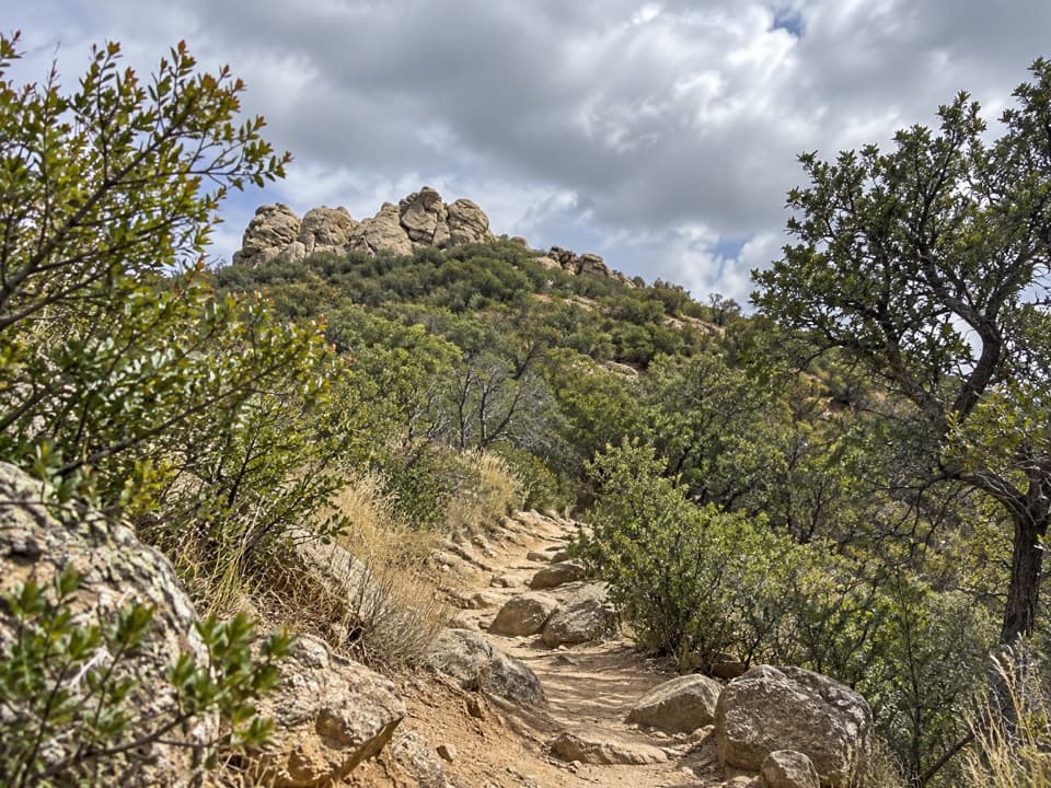
Down the north sidePast the high country, the route descends the north side on switchbacks.

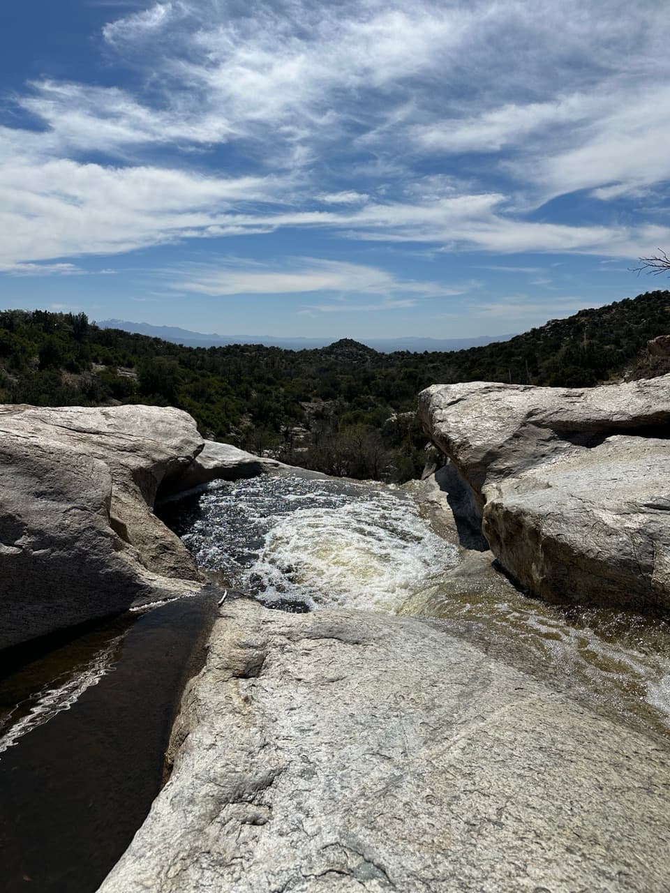
Past the high country, the route descends the north side on switchbacks. As the trees thin, broad views open east across rugged country. That is the best place for a photo that shows the scale of the crossing: keep a little of the thinning forest in the frame. Farther north the route returns to lower desert, crosses into Coronado National Forest, and ends at Redington Road. The national forest stretch can bring noise from OHVs or target shooting, and the road crossing needs care.

Water and overnight logisticsWater sources are seasonal and scarce.

Water sources are seasonal and scarce. Check a current report before leaving, carry a realistic supply between verified sources, and treat every natural source. There are no food stops or dependable potable-water taps along the route. The Saguaro section requires a park entry permit; an overnight inside the park requires a separate advance reservation at a designated campground such as Manning Camp or Grass Shack. Dispersed camping is prohibited, and pets are not allowed in Saguaro’s wilderness. Saguaro’s saguaros also have deep cultural importance to the Tohono O’odham, while the elevation change supports hundreds of plant species along the way.

Wildlife

Wildlife in Saguaro

All Saguaro wildlife maps

Sighting maps show where each species has been reported across Saguaro. Wildlife moves, so no sighting is guaranteed.

Keep exploring

Near Arizona Trail Passage 9: Rincon Mountains

See it all on the map

Trails that start nearby

Places near the trailhead

Parkwolf’s Saguaro ranking

Top-rated trails in Saguaro

All 74 trails
  1. 1Wasson Peak via King Canyon and Gould Mine LoopChallenging · 7.8 mi
  2. 2Hugh Norris Trail to Wasson PeakChallenging · 10 mi
  3. 3Bridal Wreath Falls TrailModerate · 5.9 mi
  4. 4King Canyon Trail to Wasson PeakModerate · 7 mi
  5. 5Valley View Overlook Nature TrailEasy · 0.8 mi
  6. 6Freeman Homestead TrailEasy · 1 mi

Take Parkwolf to Saguaro.

The audio tour guide for the drive, plus offline maps, trails, and wildlife heatmaps for when the signal drops.

4.7 from 8,600+ ratings

Download Parkwolf on the App StoreGet Parkwolf on Google Play