Parking
Start at Browns Gap Parking Area on Skyline Drive. The route leaves north on the Appalachian Trail and returns to the same access; this is separate from the Big Run Overlook parking area.
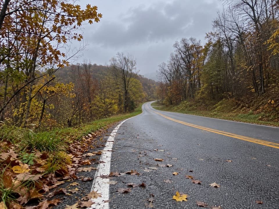
Shenandoah National Park, VA
A rugged loop over Rockytop with talus views and stream crossings.
Overview
Map & elevation
Plan your hike

The highest, rockiest slopes around here are a summer buffet for grizzly bears.
Shenandoah Tour Guide
Parkwolf is a GPS audio tour guide for Shenandoah National Park. As you drive, it chimes in with what’s ahead: hidden gems, upcoming stops, history, geology, and wildlife, right through your car’s speakers.
See the Shenandoah audio tourRecorded for this trailhead
Browns Gap: The Long Walk to Lewis Peak“You're approaching Browns Gap, the starting point for a long ridge hike to Lewis Peak's open summit ledge. Allow about five hours for the nine point one mile out-and-back, with uneven talus and a steep final climb.”
Plays as you drive up to this trailhead in the Parkwolf Shenandoah Tour Guide.
More stories near here in the app
“Fantastic app with many points of information… It’s great to just turn on while you’re driving and it gives you an audio tour of the national Park. We love it!!!!”


Trail guide
Rockytop–Big Run Portal is a rugged, mapped 13.4-mile loop from Browns Gap Parking on Skyline Drive. Go north on the Appalachian Trail, turn onto Big Run Trail at the junction, and continue to the four-way junction; there, stay on Rockytop over the ridge. The route drops into Big Run, follows Big Run Portal beside the creek, climbs out on Big Run Trail, and returns over the short Big Run and Appalachian Trail access used at the start. The total includes those repeated segments. Similar Big Run routes use different returns, so follow the Portal branch to match this line. Budget about 8–10 hours for a day hike; the rough tread and creek crossings make an overnight more comfortable for many hikers.
After the four-way junction, Rockytop passes the Austin Mountain and Lewis Mountain trail junctions before crossing long talus slopes. The tread becomes rocky and, in places, overgrown; some stretches are marked by blazes across rock instead of a clear footpath. The open ledges look west toward Massanutten Mountain and Lewis Peak. The last roughly two miles drop nearly 1,500 feet into Big Run, so the ridge is a long, demanding section rather than a quick viewpoint detour. Mountain laurel and rhododendron make tunnel-like stretches in June, and late summer can bring blueberries along the ridge.
At the bottom of the ridge, turn onto Big Run Portal. The first half-mile follows an old roadbed to a metal bridge, then the trail continues through a wooded creek corridor. It is a marked change from the rocky, open ridge: the stream becomes the main landmark, and the route crosses it repeatedly before reaching the Big Run Trail junction.
Some Big Run crossings are hard to read because the next blaze can be on a midstream island or the far bank. Pause at each crossing and look for the marked continuation before leaving the bank. In spring or after heavy rain, water can rise to knee or waist depth; high water can make this loop unsafe to continue. The metal bridge is only one crossing point, not a way around the repeated creek work.
After the Portal junction, Big Run Trail climbs steeply for about 1.2 miles to the four-way junction. The return is still work: turn left to retrace about 0.65 mile on the Big Run Trail access, then take the Appalachian Trail south for about 0.6 mile to Browns Gap. Those shared sections are part of the full loop and its distance, not a separate spur to skip on the map.
A two-day plan leaves more time for the ridge and stream crossings. Backcountry camping requires a separate permit, and camps must be at least 10 yards from streams; a camping permit does not replace the park entrance pass needed for Skyline Drive. Dogs may use these trails on a physical leash no longer than six feet.
Wildlife
 325 sightingsBlack BearMost seen around 6 AMSighting map
 21 sightingsBald EagleMost seen around 10 AMSighting map
 1,036 sightingsWhite-tailed DeerMost seen around 7 PMSighting map
 167 sightingsWild TurkeyMost seen around 7 AMSighting map
 93 sightingsTimber RattlesnakeMost seen around 6 PMSighting map
 24 sightingsCoyoteMost seen around 6 AMSighting map
Sighting maps show where each species has been reported across Shenandoah. Wildlife moves, so no sighting is guaranteed.
Keep exploring
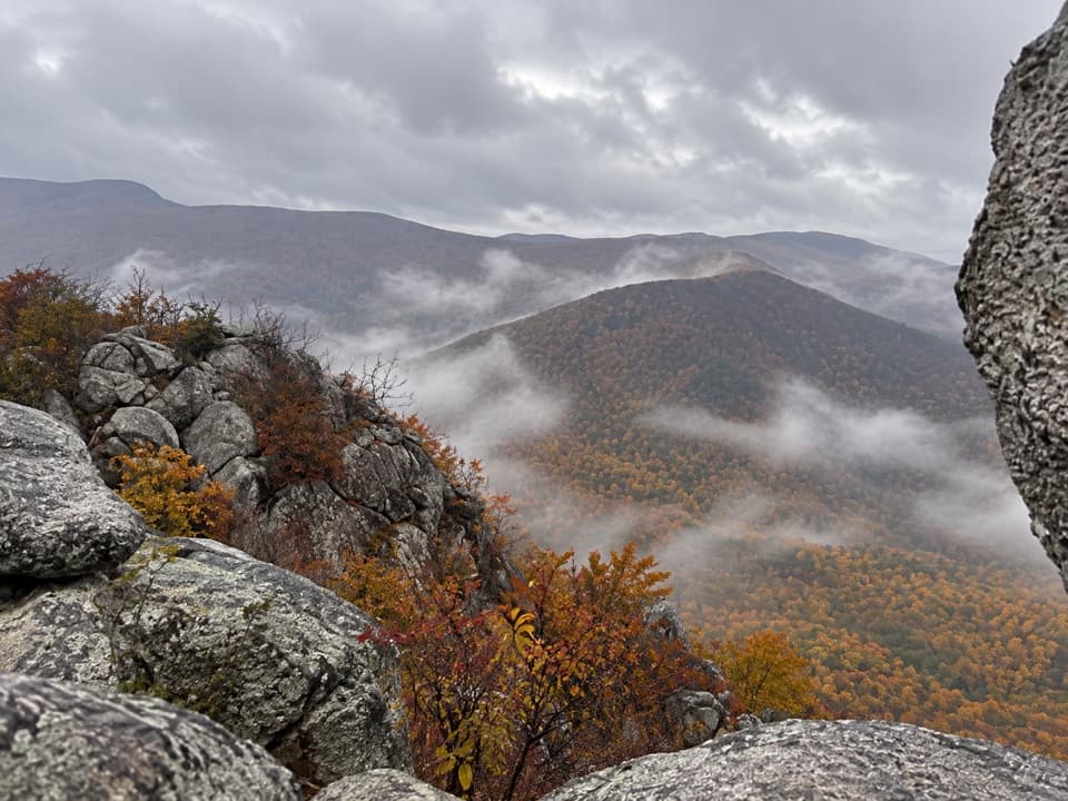 ModerateLewis Peak via Rockytop Trail9.1 mi · 5 hr · At the trailheadA long, rocky ridge hike earns an open summit ledge.
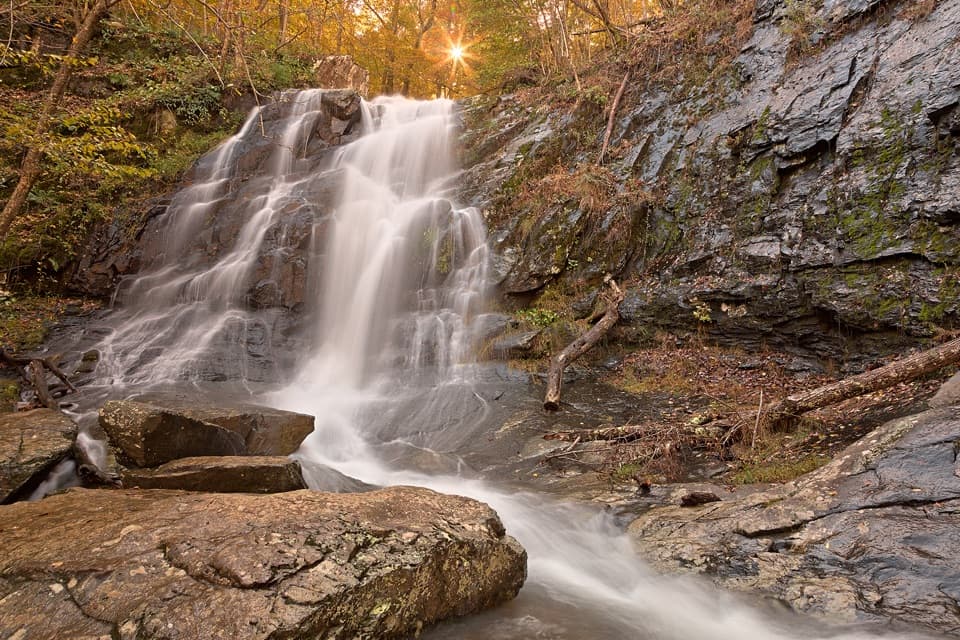 ChallengingBrowns Gap Waterfall Circuit6.5 mi · 7.5 hr · At the trailheadThree waterfalls, a full-day loop, and a steep Jones Run climb.ModerateJones Run Falls Hike3.2 mi · 2.5 hr · 1.1 mi awayA wooded descent to a 42-foot cascade, then an uphill return.
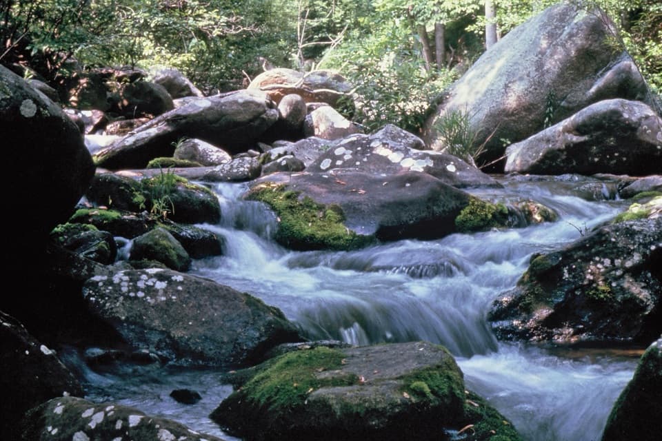 ModerateBig Run Portal via Big Run Loop5.4 mi · 4.5 hr · 1.7 mi awayA flexible backcountry trip with repeated Big Run crossings.
 EasyBlackrock Summit Loop1 mi · 1 hr · 1.7 mi awayA one-mile circuit to a boulder slope and Shenandoah views.
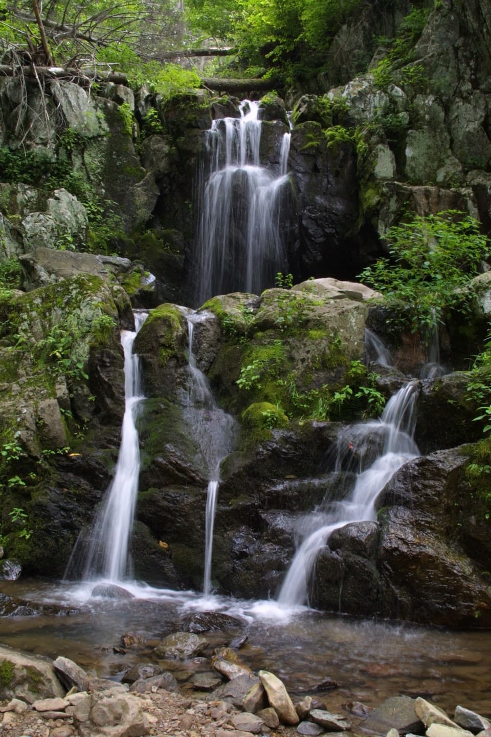 ChallengingSouth District Highlights in 7 Days59.1 mi · 1.6 days · 1.8 mi awayA rugged weeklong loop of waterfalls, river valleys, and rocky ridges.ChallengingJones Run, Furnace Mountain, and Big Run Circuit21.9 mi · 4 days · 1.8 mi awayA four-day circuit linking three waterfalls and Big Run valley.
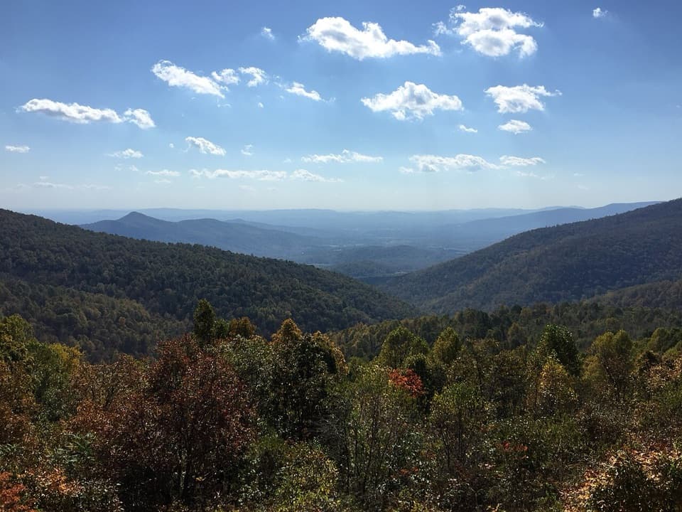 ModerateBig Run Loop Trail5.8 mi · 3.5 hr · 1.8 mi awayDrop to Big Run, then climb back to a Skyline Drive view.
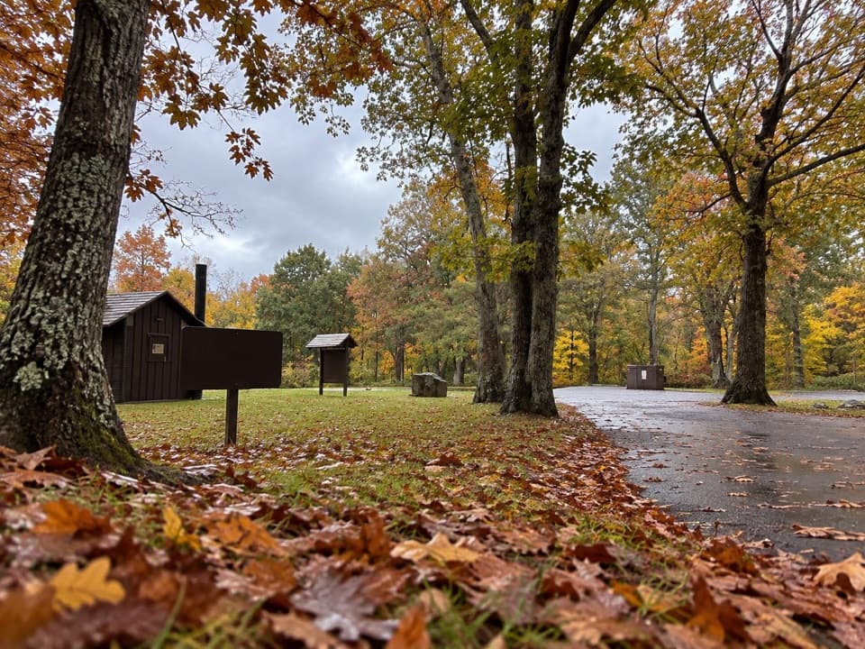 Picnic area · 0.6 mi awayDundo Picnic GroundsA shady picnic stop with a small Civilian Conservation Corps story.
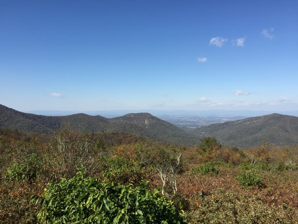 Scenic pullout · 0.7 mi awayDundo OverlookA quick pullout for Massanutten and the valley beyond.Sight · 0.8 mi awayJones Run FallsA 42-foot cascade; save energy for the uphill return.
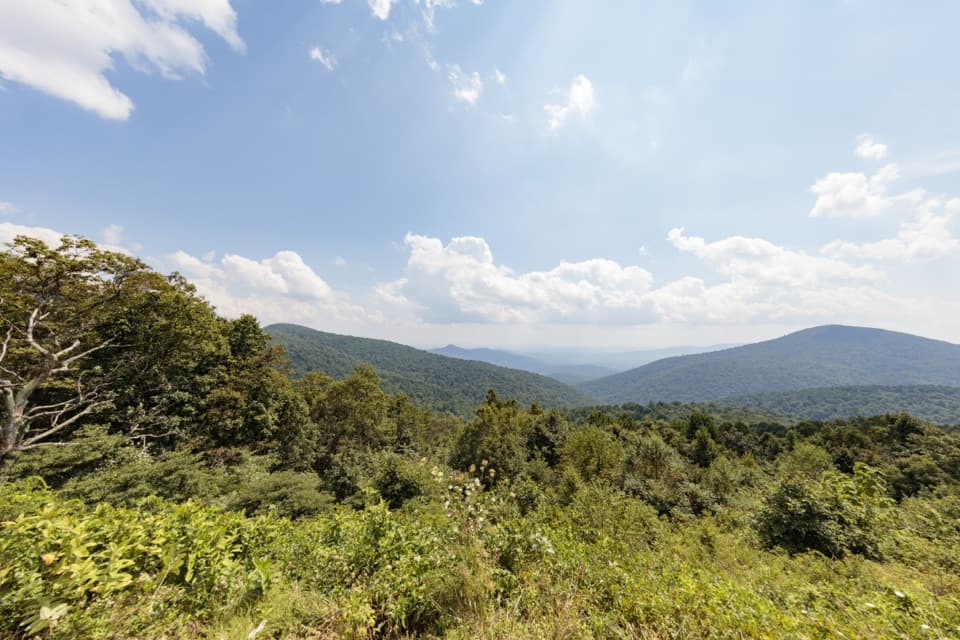 Scenic pullout · 1 mi awayDoyles River OverlookA south-facing cove view with a history worth pausing for.
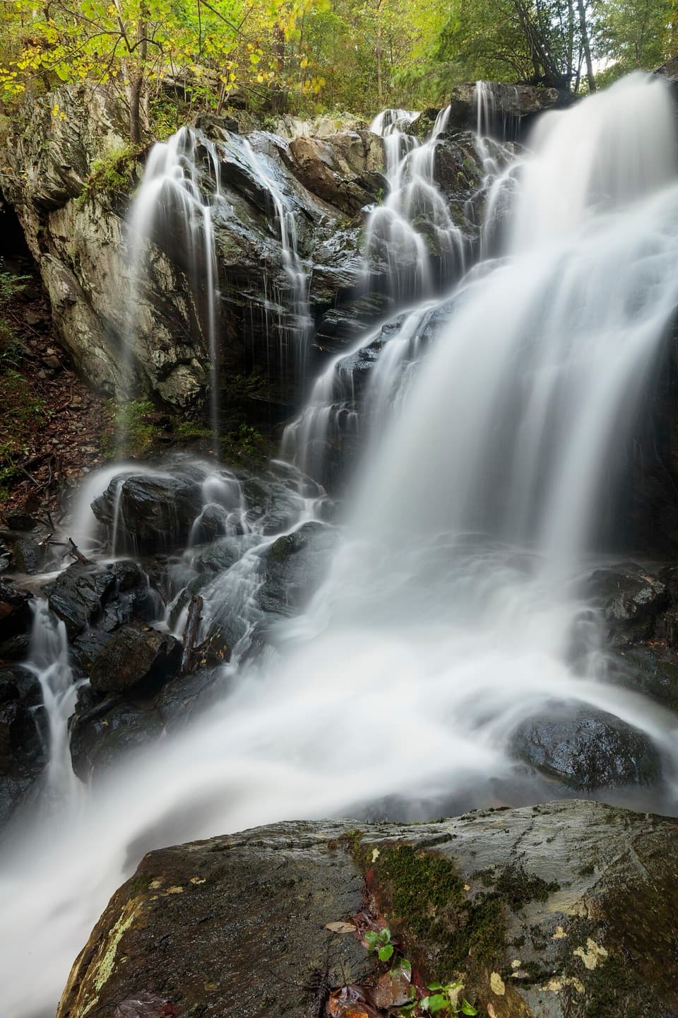 Sight · 1.1 mi awayDoyles River FallsTwo waterfalls, a forest stream, and a long climb back out.
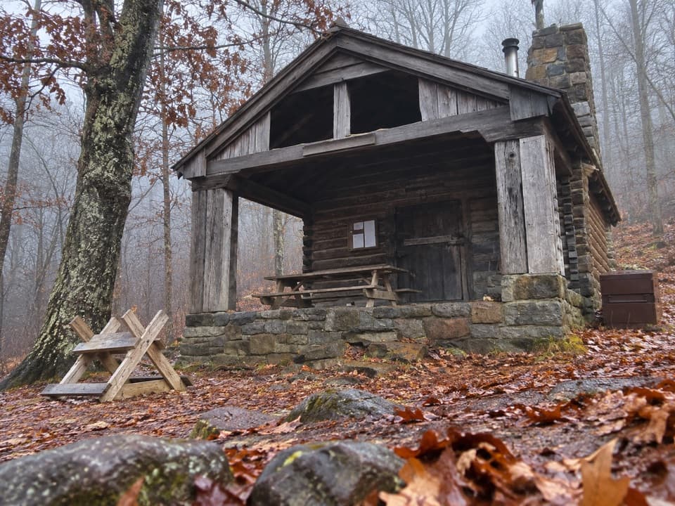 Lodging · 1.7 mi awayDoyles River CabinA CCC cabin stay with a porch over Cedar Mountain.
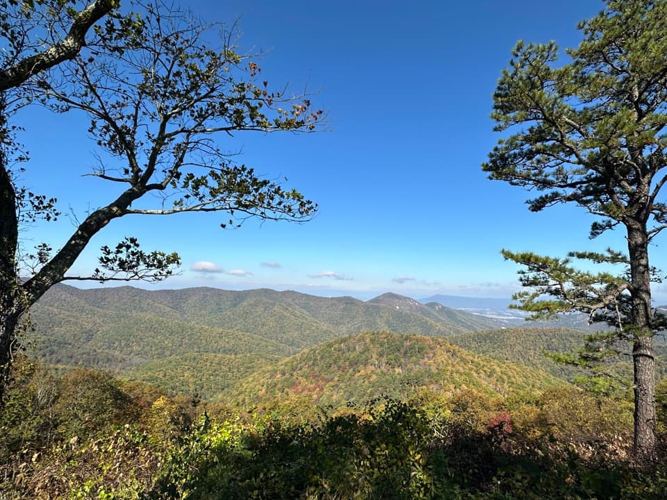 Scenic pullout · 1.7 mi awayBig Run OverlookA Skyline Drive overlook with a public seasonal photo station.Sight · 2.1 mi awayBlackrock SummitA short loop to a boulder summit and a wide Shenandoah view.
Parkwolf’s Shenandoah ranking

The audio tour guide for the drive, plus offline maps, trails, and wildlife heatmaps for when the signal drops.




