Parking
Use Browns Gap Parking Area on Skyline Drive at mile 83, then cross the road to Browns Gap Fire Road. Park admission is required; no separate activity fee is listed.
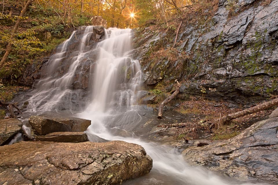
Shenandoah National Park, VA
Three waterfalls, a full-day loop, and a steep Jones Run climb.
Overview
Map & elevation
Plan your hike

The highest, rockiest slopes around here are a summer buffet for grizzly bears.
Shenandoah Tour Guide
Parkwolf is a GPS audio tour guide for Shenandoah National Park. As you drive, it chimes in with what’s ahead: hidden gems, upcoming stops, history, geology, and wildlife, right through your car’s speakers.
See the Shenandoah audio tourRecorded for this trailhead
Browns Gap: The Long Walk to Lewis Peak“You're approaching Browns Gap, the starting point for a long ridge hike to Lewis Peak's open summit ledge. Allow about five hours for the nine point one mile out-and-back, with uneven talus and a steep final climb.”
Plays as you drive up to this trailhead in the Parkwolf Shenandoah Tour Guide.
More stories near here in the app
“Fantastic app with many points of information… It’s great to just turn on while you’re driving and it gives you an audio tour of the national Park. We love it!!!!”


Trail guide
This is a 6.5-mile closed circuit from Browns Gap that visits Upper and Lower Doyles River Falls and Jones Run Falls. The park estimates 7–8 hours and 1,400 feet of climbing, so plan for most of a day. Start at Browns Gap Parking Area at Skyline Drive mile 83, cross the road, and take Browns Gap Fire Road to Doyles River Trail. Follow Doyles River to the falls, connect to Jones Run Trail for the third waterfall, then take the Appalachian Trail back. The mapped line is about 6.7 miles, close to the park’s rounded figure.
Expect a wooded walk along two streams, not a ridge-top panorama. There are several stream crossings, and the climb out of Jones Run is the hard part. The Appalachian Trail return is easier, though traffic from Skyline Drive can be audible nearby.
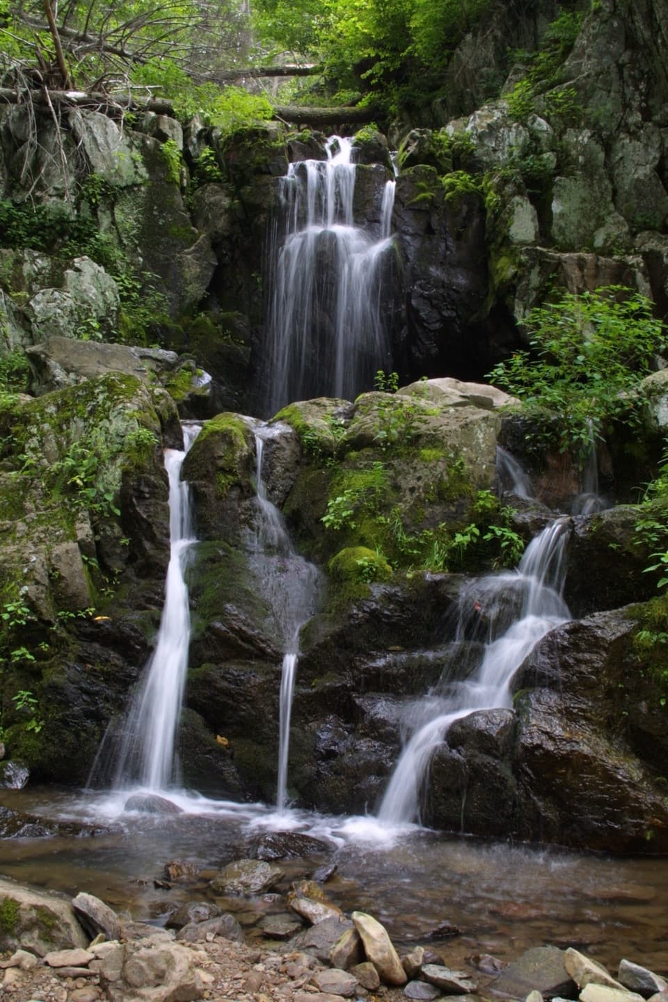
Upper Doyles is a double-terraced cascade with smaller drops leading into it. Lower Doyles cuts through a narrower, rocky chute, and Jones Run Falls sits among stream boulders. Flow can shrink in dry spells, so the falls are more impressive after normal rain. At Upper Doyles, a clear angle that keeps both tiers and the smaller cascades in frame makes the best use of the view.
The trail starts across Skyline Drive from Browns Gap Parking Area. Dogs are allowed on a leash no longer than six feet, but this hike does not meet ADA accessibility guidelines. Avoid stream crossings during icy or flooding conditions, and stay off the waterfall rocks. Treat stream water before drinking, and carry an offline map because cell and GPS service can be unreliable.
Wildlife
 325 sightingsBlack BearMost seen around 6 AMSighting map
 21 sightingsBald EagleMost seen around 10 AMSighting map
 1,036 sightingsWhite-tailed DeerMost seen around 7 PMSighting map
 167 sightingsWild TurkeyMost seen around 7 AMSighting map
 93 sightingsTimber RattlesnakeMost seen around 6 PMSighting map
 24 sightingsCoyoteMost seen around 6 AMSighting map
Sighting maps show where each species has been reported across Shenandoah. Wildlife moves, so no sighting is guaranteed.
Keep exploring
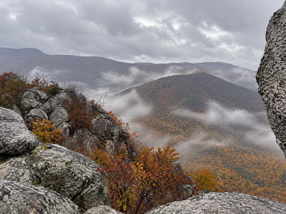 ModerateLewis Peak via Rockytop Trail9.1 mi · 5 hr · At the trailheadA long, rocky ridge hike earns an open summit ledge.
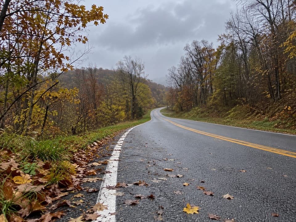 ChallengingRockytop–Big Run Portal Loop13.4 mi · 9 hr · At the trailheadA rugged loop over Rockytop with talus views and stream crossings.ModerateJones Run Falls Hike3.2 mi · 2.5 hr · 1.1 mi awayA wooded descent to a 42-foot cascade, then an uphill return.
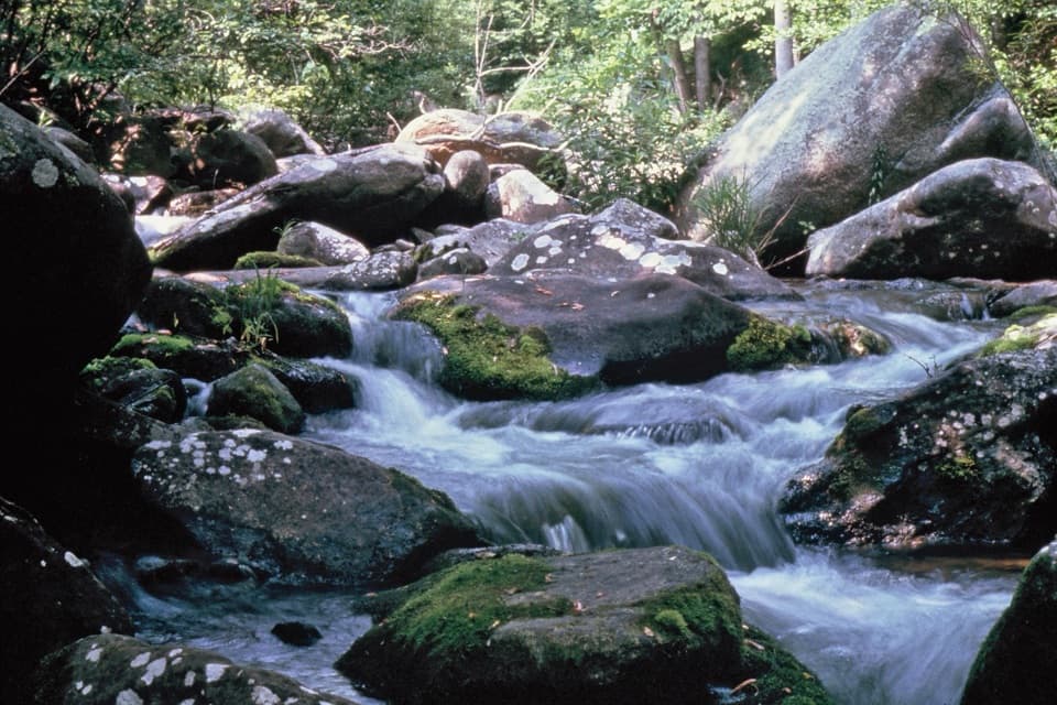 ModerateBig Run Portal via Big Run Loop5.4 mi · 4.5 hr · 1.7 mi awayA flexible backcountry trip with repeated Big Run crossings.
 EasyBlackrock Summit Loop1 mi · 1 hr · 1.7 mi awayA one-mile circuit to a boulder slope and Shenandoah views.
 ChallengingSouth District Highlights in 7 Days59.1 mi · 1.6 days · 1.8 mi awayA rugged weeklong loop of waterfalls, river valleys, and rocky ridges.ChallengingJones Run, Furnace Mountain, and Big Run Circuit21.9 mi · 4 days · 1.8 mi awayA four-day circuit linking three waterfalls and Big Run valley.
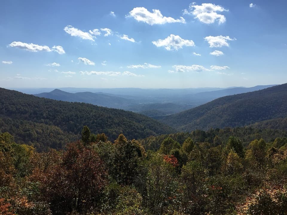 ModerateBig Run Loop Trail5.8 mi · 3.5 hr · 1.8 mi awayDrop to Big Run, then climb back to a Skyline Drive view.
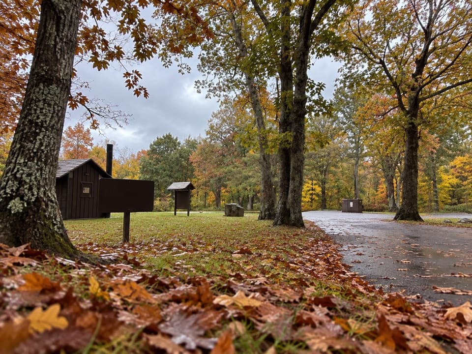 Picnic area · 0.6 mi awayDundo Picnic GroundsA shady picnic stop with a small Civilian Conservation Corps story.
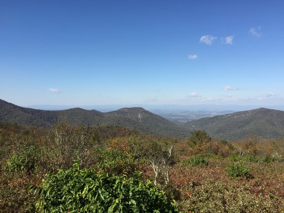 Scenic pullout · 0.7 mi awayDundo OverlookA quick pullout for Massanutten and the valley beyond.Sight · 0.8 mi awayJones Run FallsA 42-foot cascade; save energy for the uphill return.
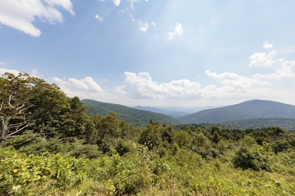 Scenic pullout · 1 mi awayDoyles River OverlookA south-facing cove view with a history worth pausing for.
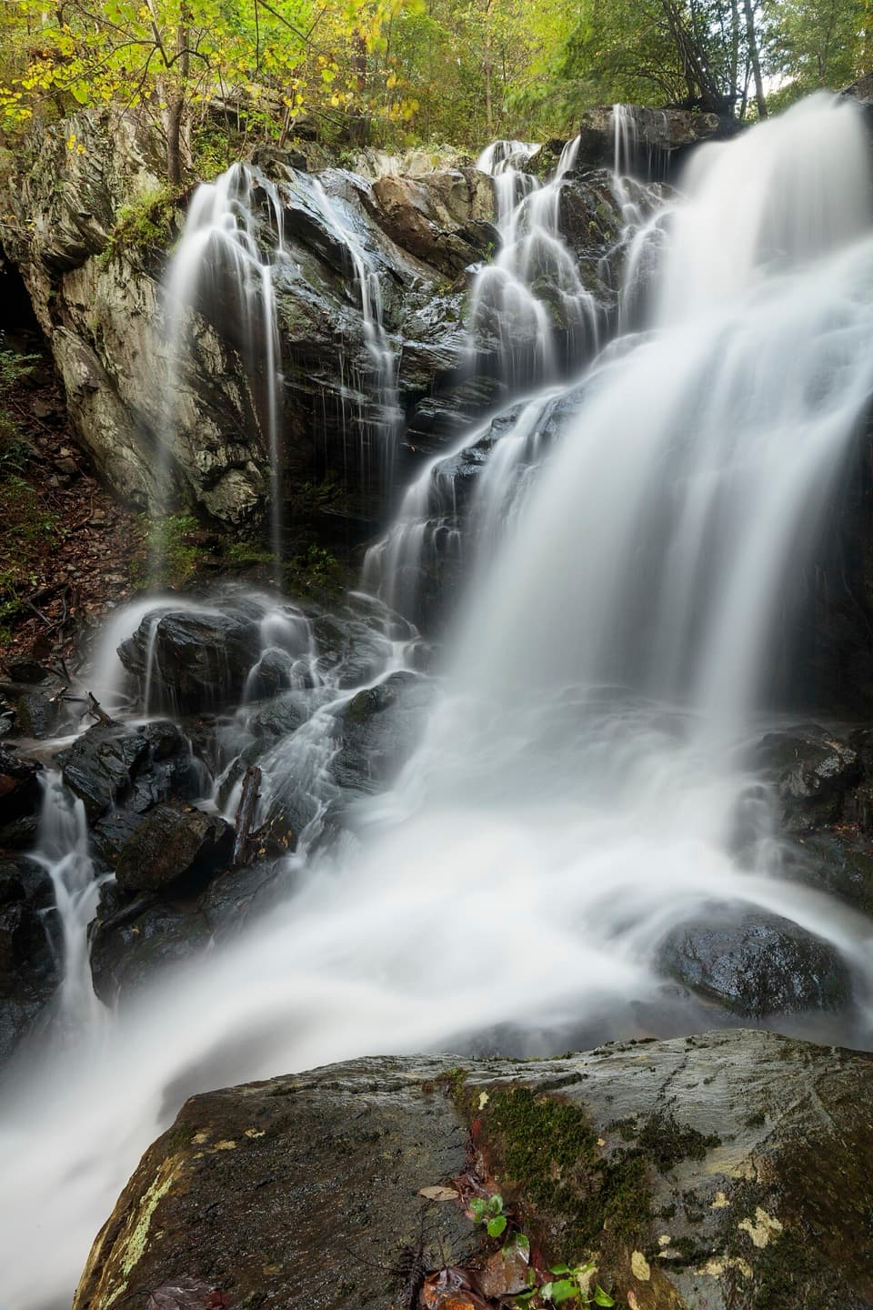 Sight · 1.1 mi awayDoyles River FallsTwo waterfalls, a forest stream, and a long climb back out.
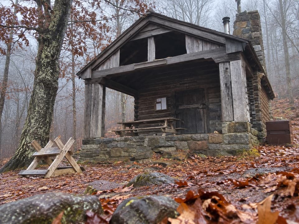 Lodging · 1.7 mi awayDoyles River CabinA CCC cabin stay with a porch over Cedar Mountain.
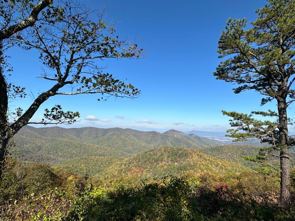 Scenic pullout · 1.7 mi awayBig Run OverlookA Skyline Drive overlook with a public seasonal photo station.Sight · 2.1 mi awayBlackrock SummitA short loop to a boulder summit and a wide Shenandoah view.
Parkwolf’s Shenandoah ranking

The audio tour guide for the drive, plus offline maps, trails, and wildlife heatmaps for when the signal drops.




