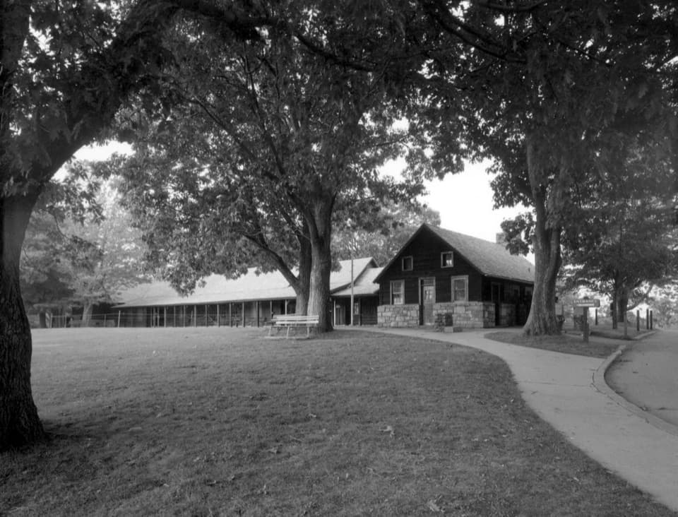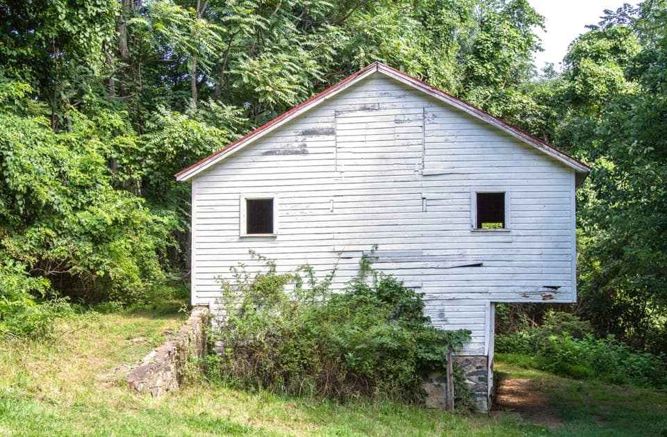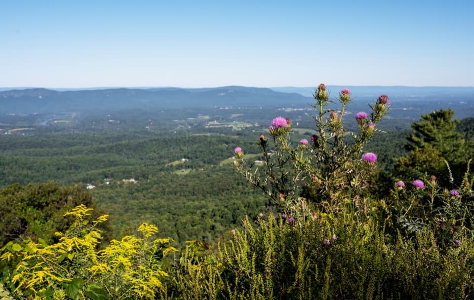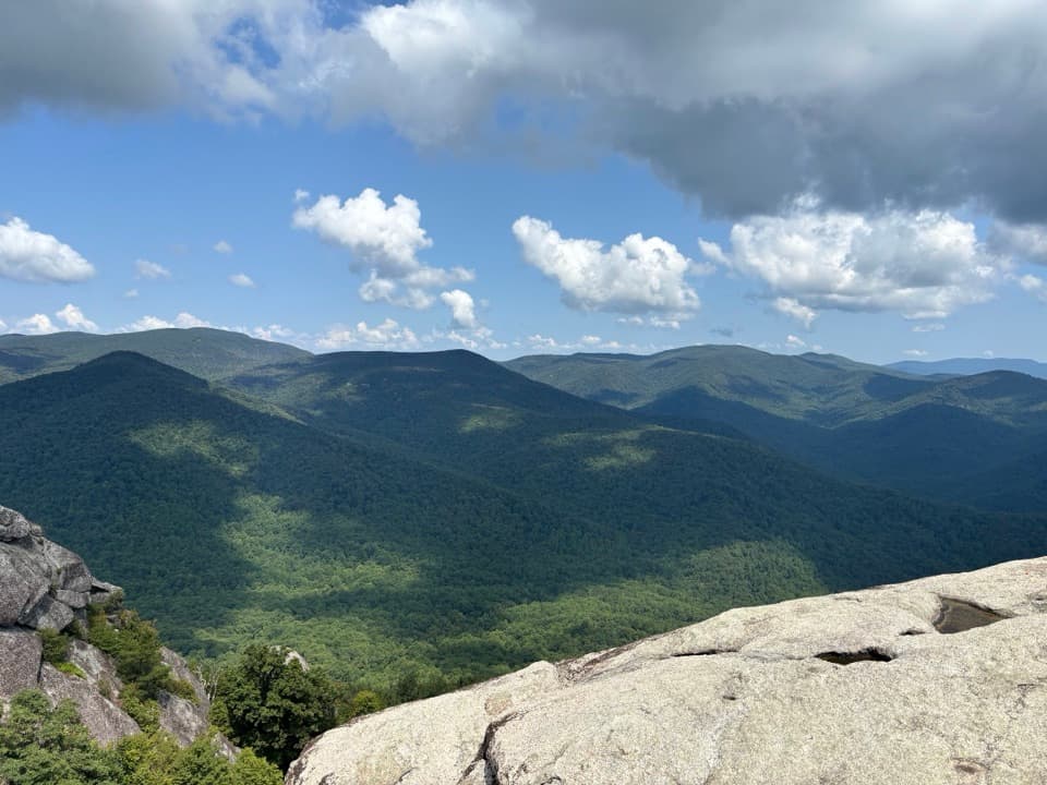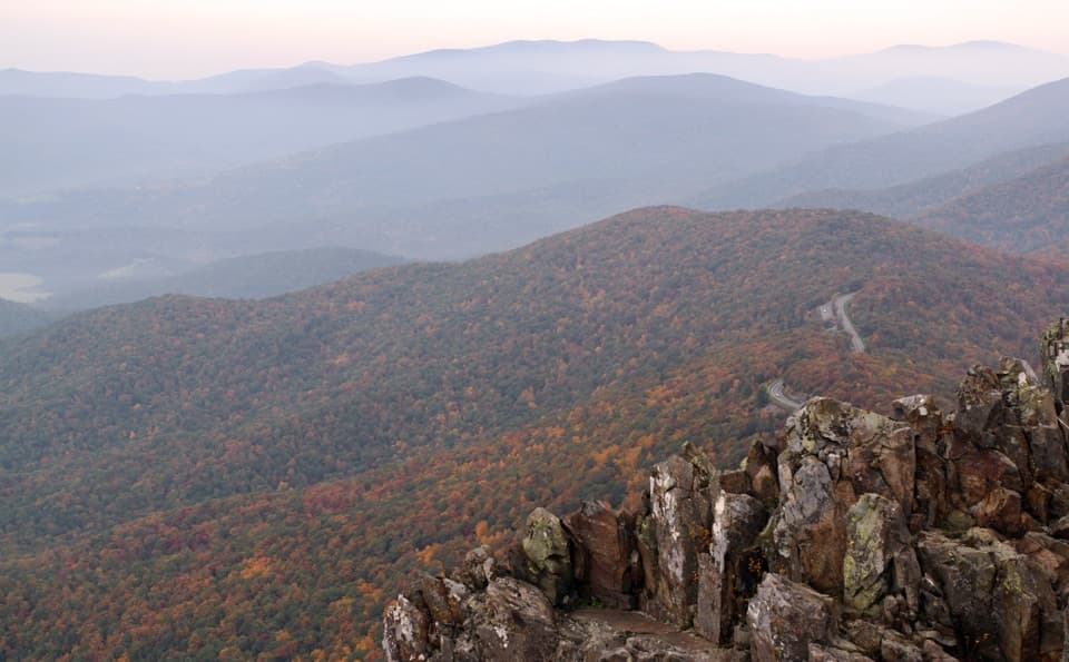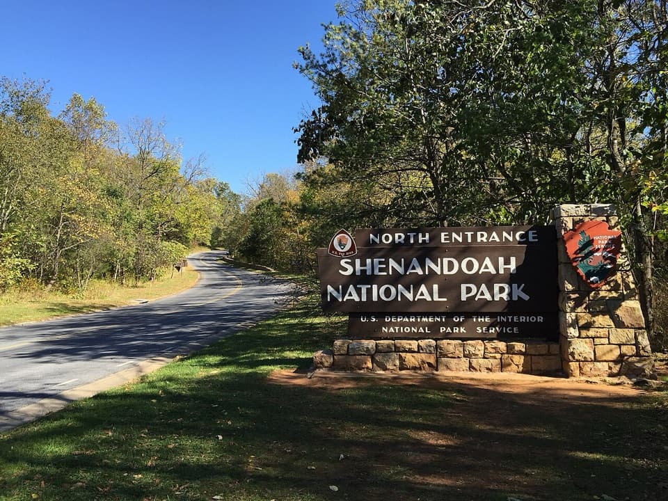
Front Royal Entrance Station in Shenandoah National Park

Entrance station · Shenandoah National Park

Front Royal Entrance Station

The north gate starts Skyline Drive at mile zero.

Photo: Wikimedia Commons
Type
Entrance station
Nearest trail
0.3 mi
Audio stories
3 nearby
  • Ranger station

Hear the audio tour

The Vulture's Wobble

Overview

About Front Royal Entrance Station

Why stop

  • Staff can provide information right at the north entrance.

Heads up

  • The station is a quick entry stop, not a scenic destination.

Map

Where it is

Loading the Shenandoah map
Full map
Entrance stationFront Royal Entrance Station38.90297, -78.19258
Keep this map with you offline in the Parkwolf app

Plan your stop

Before you go

2 active Shenandoah alerts

  • ClosureOld Rag Trailhead main lot closedThe Old Rag Trailhead main parking lot is closed to vehicles and pedestrians for infrastructure improvements; use the existing overflow lots. - Work is expected to be completed by November 2026.Official details
  • ClosureBackcountry camping and zone closuresBackcountry camping is prohibited on the Appalachian Trail from Lewis Mountain to Big Meadows, and the Naked Creek backcountry zone is closed.Official details

Shenandoah alerts
A park ranger sits on a dash-mounted phone, talking, as Parkwolf’s Tour Guide plays “Army Cutworm Moths: A Grizzly Bear Buffet” on Grand Loop Road below Dunraven Pass in Yellowstone
Parkwolf Tour GuideThe highest, rockiest slopes around here are a summer buffet for grizzly bears.

Shenandoah Tour Guide

Your drive to Front Royal Entrance Station, narrated.

Parkwolf is a GPS audio tour guide for Shenandoah National Park. As you drive, it chimes in with what’s ahead: hidden gems, upcoming stops, history, geology, and wildlife, right through your car’s speakers.

See the Shenandoah audio tour

Recorded for this area

The Vulture's Wobble
0:00 / 0:29
“If you see a big dark bird rocking from side to side above an overlook, watch how it holds its wings. A shallow V and that wobbly glide are clues to a turkey vulture, a year-round resident here.”

Plays on the road 0.6 mi from Front Royal Entrance Station in the Parkwolf Shenandoah Tour Guide.

More stories near here in the app

  • Three River Systems, One Bay
  • Shenandoah Valley Overlook: Signal Knob and Front Royal
  • Dickey Ridge: Maps, Lodge History and a Short Walk
  • Signal Knob Overlook: River Bends and a Wartime Lookout
  • 146 audio storiesacross Shenandoah’s roads, triggered by GPS as you drive
  • Wildlife heatmapsfor Black Bear, Bald Eagle, White-tailed Deer, and 13 more
  • Works offlinemaps, 163 trails, 142 places, and audio download before you lose signal
  • CarPlay readysimple controls built for the drive
★★★★★
“Fantastic app with many points of information… It’s great to just turn on while you’re driving and it gives you an audio tour of the national Park. We love it!!!!”
JMJamesApp Store review
Download Parkwolf on the App StoreGet Parkwolf on Google Play

4.7 from 8,600+ ratings

Guide

More about Front Royal Entrance Station

Start hereFront Royal Entrance Station is Shenandoah's northern vehicle gate and the start of Skyline…

Front Royal Entrance Station is Shenandoah's northern vehicle gate and the start of Skyline Drive at mile 0. It’s a staffed entry stop, not a viewpoint, so keep it brief unless you need information. The road heads south along the Blue Ridge for 105 miles.

Get oriented after the gateUse the park’s Front Royal directions instead of relying on GPS; the park warns its directions…

Use the park’s Front Royal directions instead of relying on GPS; the park warns its directions can send drivers astray. Mileposts on the right help you locate overlooks, trails, dining and lodging along the drive. Dickey Ridge Visitor Center at mile 4.6 is the better first stop if you want ranger information, guides, books and an orientation film.

A ridge road with historySkyline Drive was built between 1931 and 1939 along the Blue Ridge crest.

Skyline Drive was built between 1931 and 1939 along the Blue Ridge crest. Driving the full road takes about three hours on a clear day, so treat this as the start of a longer outing; the gate is mainly where the trip begins.

Wildlife

Wildlife in Shenandoah

All Shenandoah wildlife maps

Sighting maps show where each species has been reported across Shenandoah. Wildlife moves, so no sighting is guaranteed.

Keep exploring

Near Front Royal Entrance Station

See it all on the map

Trails nearby

More stops nearby

Parkwolf’s Shenandoah ranking

Top sights in Shenandoah

All 142 places
  1. 1Old Rag MountainSight
  2. 2Big MeadowsSight
  3. 3Hawksbill SummitSight
  4. 4Stony Man SummitSight
  5. 5Dark Hollow FallsSight
  6. 6Marys RockSight

Take Parkwolf to Shenandoah.

The audio tour guide for the drive, plus offline maps, trails, and wildlife heatmaps for when the signal drops.

4.7 from 8,600+ ratings

Download Parkwolf on the App StoreGet Parkwolf on Google Play