Parking
Park at Dickey Ridge Visitor Center and cross Skyline Drive to the signed trailhead opposite it. Check the road status before driving to the trail in winter.
Shenandoah National Park, VA
A 3.7-mile loop to the Snead barn and a west-facing ridge view.
Overview
Map & elevation
Plan your hike

The highest, rockiest slopes around here are a summer buffet for grizzly bears.
Shenandoah Tour Guide
Parkwolf is a GPS audio tour guide for Shenandoah National Park. As you drive, it chimes in with what’s ahead: hidden gems, upcoming stops, history, geology, and wildlife, right through your car’s speakers.
See the Shenandoah audio tourRecorded for this trailhead
Dickey Ridge: Maps, Lodge History and a Short Walk“Up ahead is Dickey Ridge Visitor Center, a useful stop for maps, ranger advice and valley views around the building.”
Plays as you drive up to this trailhead in the Parkwolf Shenandoah Tour Guide.
More stories near here in the app
“Fantastic app with many points of information… It’s great to just turn on while you’re driving and it gives you an audio tour of the national Park. We love it!!!!”


Trail guide
Snead Farm Loop is a 3.7-mile circuit from across Skyline Drive by Dickey Ridge Visitor Center. It follows Dickey Ridge Trail to Snead Farm Road, visits the former farmstead, then takes Snead Farm Loop Trail and the ridge path back to close the circuit. Allow about 2½ hours; the circuit gains about 580 feet. Choose it for the farm history and a wooded ridge walk, with a west-facing overlook as a bonus.
Start on Dickey Ridge Trail and turn onto Snead Farm Road for the barn. After the farm, continue on Snead Farm Loop Trail to its lower Dickey Ridge junction, then turn right for the return. Follow the Snead Farm directions at the junction rather than continuing past the farm turn. A shorter barn out-and-back is possible, but its published short-route mileage does not match the mapped access; use the trail map to plan that option.
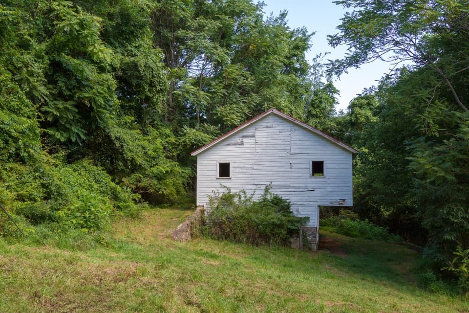
Old apple orchards and farmland surround the Snead family barn. The root cellar, stone foundation and steps mark more of the former homesite, so leave a few minutes to look around rather than treating the barn as a quick turnaround. This is a walk through farm remains, not a restored attraction.
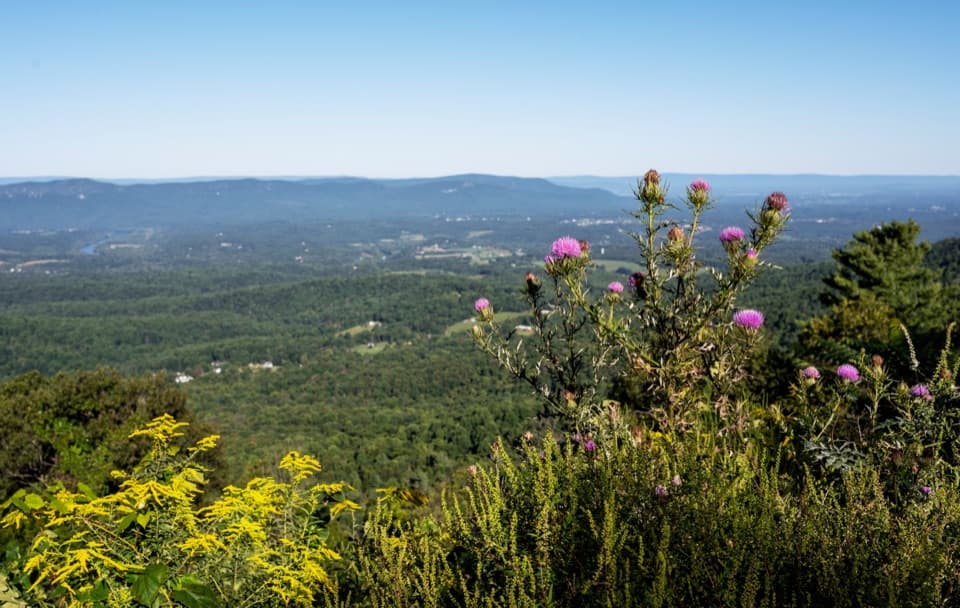
The Snead Farm Loop section narrows to dirt trail. Dickey Ridge Trail is mostly wooded, with intermittent glimpses and a west-facing overlook that opens the view. That overlook is the route's best long look beyond the trees; the rest of the walk is more about the farm and forest than continuous scenery.
The loop is listed for year-round hiking. Park at Dickey Ridge Visitor Center and cross Skyline Drive to the signed trailhead opposite it. Dogs are allowed on a leash no longer than six feet. The park entrance fee applies, but the hike requires no reservation or separate activity fee. The route gains about 580 feet and does not meet ADA accessibility guidelines; check Skyline Drive status before a winter visit.
Wildlife
 325 sightingsBlack BearMost seen around 6 AMSighting map
 21 sightingsBald EagleMost seen around 10 AMSighting map
 1,036 sightingsWhite-tailed DeerMost seen around 7 PMSighting map
 167 sightingsWild TurkeyMost seen around 7 AMSighting map
 93 sightingsTimber RattlesnakeMost seen around 6 PMSighting map
 24 sightingsCoyoteMost seen around 6 AMSighting map
Sighting maps show where each species has been reported across Shenandoah. Wildlife moves, so no sighting is guaranteed.
Keep exploring
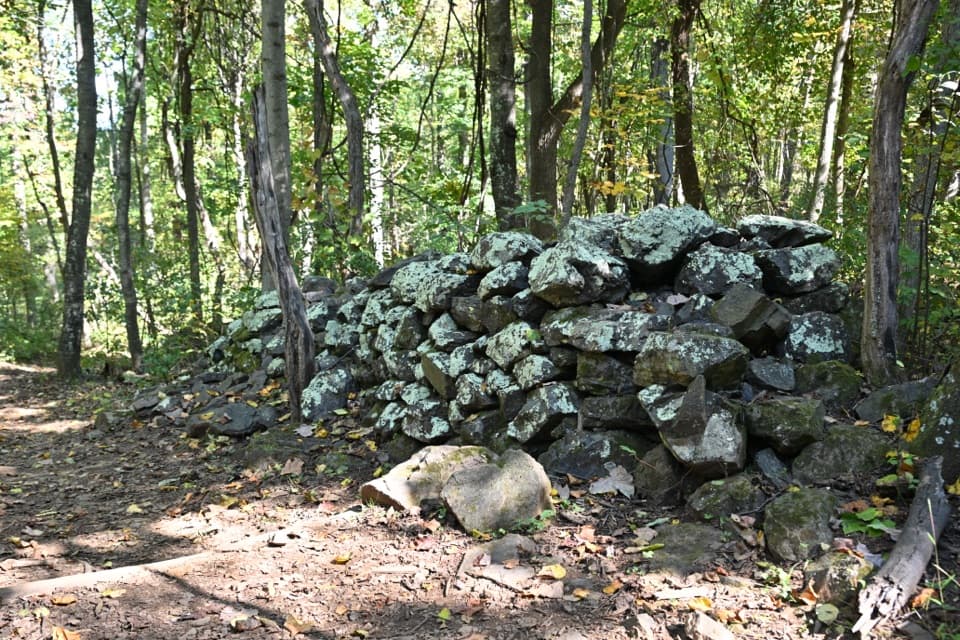 EasyFox Hollow Trail1.2 mi · 1 hr · At the trailheadA short loop through a former mountain homestead.
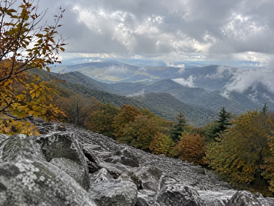 ChallengingAppalachian Trail through Shenandoah101.2 mi · 2.3 days · 2.3 mi awayA 101-mile walk on the white-blazed Appalachian Trail through Shenandoah.
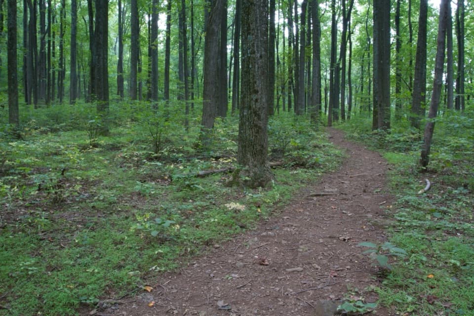 EasyDickey Ridge Trail2.7 mi · 2.2 hr · 2.4 mi awayA streamside walk with a bridge and old homestead traces.
 EasyLands Run Falls Hike1.3 mi · 1.5 hr · 2.8 mi awayA quick gravel-road walk to falls that may run dry.
 ModerateHickerson Hollow Trail2.1 mi · 1.8 hr · 2.8 mi awayA short forest walk past old homesites in a quiet hollow.
 ModerateCompton Peak2.4 mi · 1.8 hr · 3.8 mi awayA short ridge climb rewards you with views and ancient rock columns.
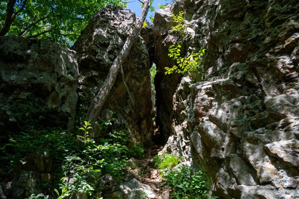 EasyFort Windham Rocks Hike0.8 mi · 1 hr · 3.8 mi awaySplit boulders and a hidden cleft just off the A.T.
 ChallengingMount Marshall and Bluff Two-Night Loop15.2 mi · 12.5 hr · 4.6 mi awayA two-night ridge loop with rocky views from the Appalachian Trail.
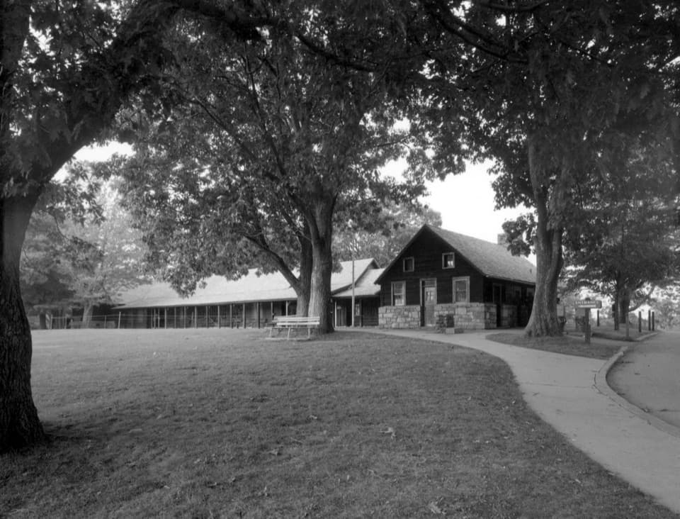 Visitor center · 0.1 mi awayDickey Ridge Visitor CenterYour best first stop for ranger advice, maps, and ridge views.
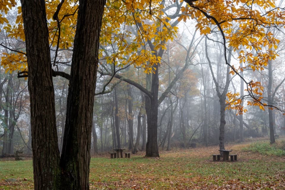 Picnic area · 0.3 mi awayDickey Ridge Picnic GroundsA shaded lunch stop with a 1930s motorist retreat behind it.
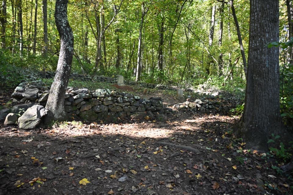 Sight · 0.4 mi awayFox Hollow CemeteryA few gravestones hold a mountain family's story.
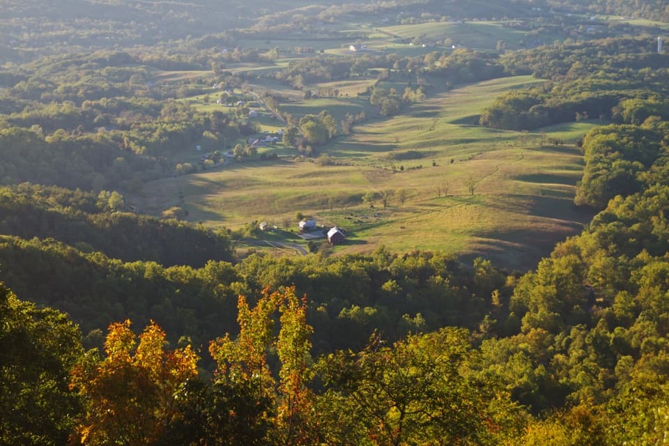 Scenic pullout · 0.7 mi awayNo Name OverlookA quick Skyline Drive stop for Shenandoah Valley views.
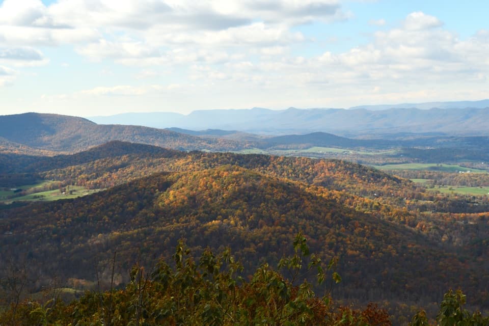 Scenic pullout · 1 mi awaySignal Knob OverlookA sunset pull-in above the Shenandoah’s looping river and layered ridges.
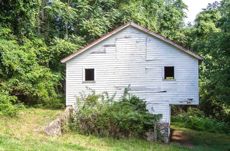 Sight · 1.1 mi awaySnead FarmWalk to a white barn and stone farmstead remains.
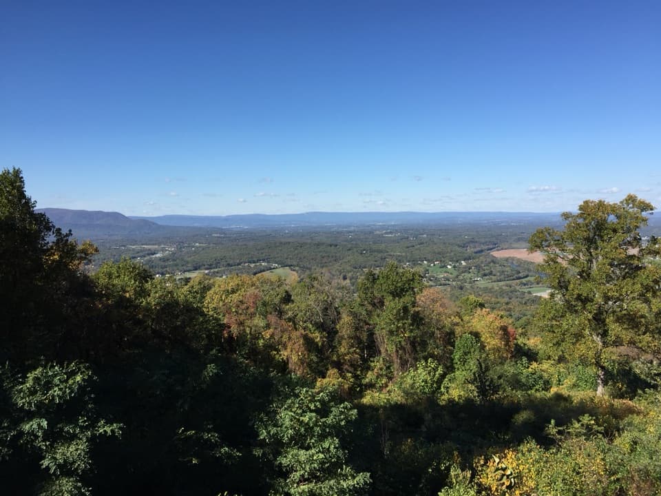 Scenic pullout · 1.3 mi awayShenandoah Valley OverlookAn easy pullout for a north-facing view across Shenandoah Valley.
 Scenic pullout · 2 mi awayGooney Run OverlookTry the north end for river bends across Browntown Valley.
Parkwolf’s Shenandoah ranking

The audio tour guide for the drive, plus offline maps, trails, and wildlife heatmaps for when the signal drops.





