
Place · 0 mi away
Moderate
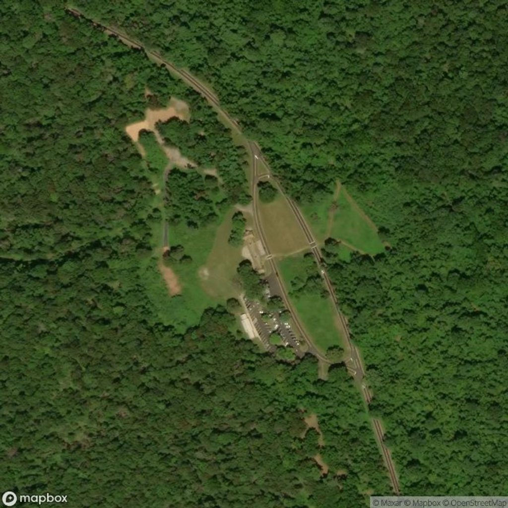
Dickey Ridge is Shenandoah’s north-end sampler: a blue‑blazed ridge trail that parallels Skyline Drive with frequent access points, west‑facing viewpoints, and a dash of park history. The full ridge traverse runs about 9.2 miles one way from near the North Entrance toward Compton Gap (some descriptions put the total closer to 9.6 miles depending on endpoints). Expect rolling terrain rather than one big climb, with cumulative elevation gain roughly in the 1,900–2,200 ft range for the full point‑to‑point.
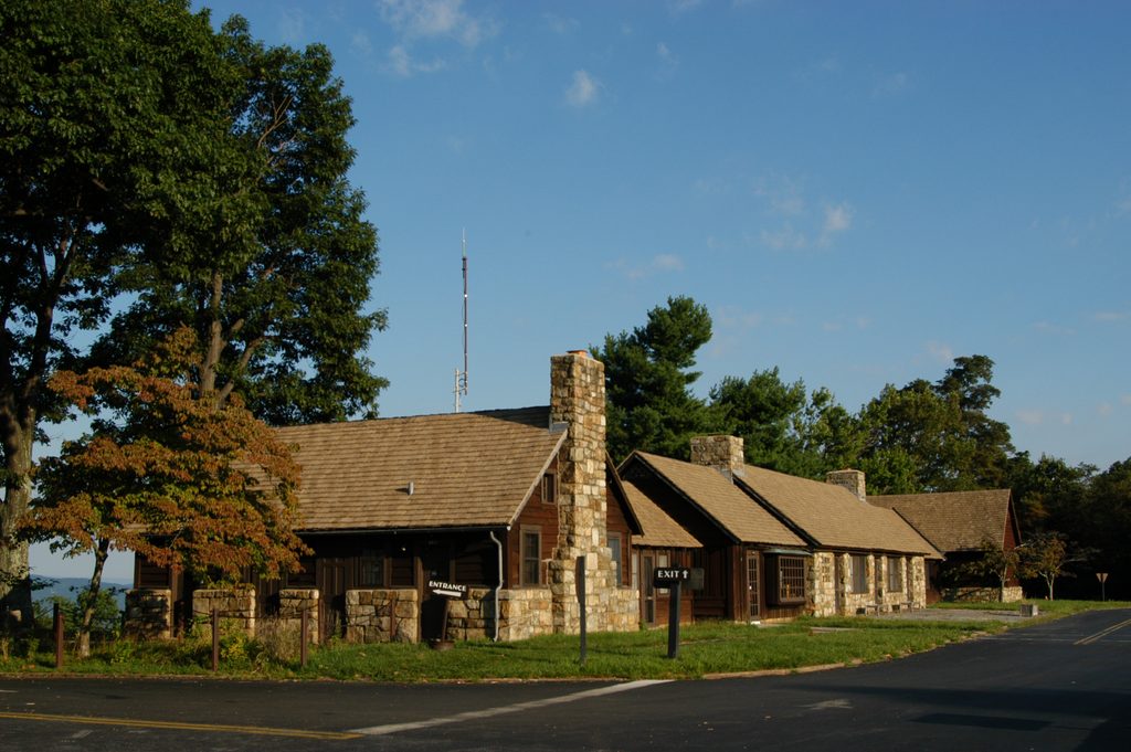
If you don’t want to shuttle cars, start at Dickey Ridge Visitor Center (mile 4.6) and use the connecting loops. The popular Snead Farm and Fox Hollow combinations make an easy‑to‑moderate 3.5–4 mile outing with just over 700 feet of gain. There’s also a short, easy 2.7‑mile round‑trip sampler from the north entrance area along a small stream. For the full traverse, a two‑car shuttle (or pickup) lets you knock out the whole ridge in a day.
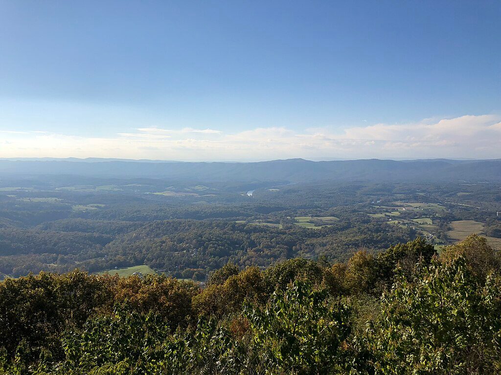
This is classic Blue Ridge walking through mixed hardwood forest, with stretches that pop into grassy clearings and old farm fields. The ridge offers west‑facing overlook rocks with sweeping views of the Shenandoah Valley and distant peaks like Signal Knob—great lunch spots and photo perches. History buffs will appreciate the Snead Farm ruins and the Fox Family Cemetery, tangible reminders of the pre‑park communities. Keep an eye out for outcrops of ancient granitic and metamorphic rock and, on clear days, the FAA Linden VOR tower off in the distance.
Near the visitor center it can feel busy, but step beyond Fox Hollow and the crowds thin quickly. The grades are friendly and the tread is mostly well‑maintained, with some rocky, steeper bits here and there. It’s ideal for newer hikers, families, or anyone wanting an approachable ridge hike with options to shorten the day. If you’re seeking a strenuous, remote backcountry feel, this isn’t it—Skyline Drive is never too far away.
Spring brings wildflowers and fresh canopy; fall is the headliner for color and crisp vistas. Summer is lush and shaded. Winter’s leaf‑off delivers bigger views but watch for ice and mud. For calmer parking and softer light on those west‑facing views, start early. Weekdays outside peak foliage season are the quietest.
Park at Dickey Ridge Visitor Center or the nearby picnic area; the trail starts just across Skyline Drive from the visitor center. Water and restrooms are at the visitor center—there’s nothing reliable on the trail—so tank up before you go. Junctions are generally well‑marked, but if you’re chaining loops, grab the NPS Dickey Ridge Area map or download it ahead of time. Note: the Fox Hollow Loop begins from the same area but does not allow pets; Dickey Ridge itself allows leashed dogs. For a bigger day, the south end ties into the Appalachian Trail near Compton Gap for extended itineraries.
Park at Dickey Ridge Visitor Center (mile 4.6) or the Dickey Ridge Picnic Area just south of it; the trail begins across Skyline Drive from the visitor center. Additional access exists near the park’s North Entrance for shorter out-and-back options.
Road crossings and traffic noise near Skyline Drive; limited water beyond the visitor center; some rocky, steeper sections; winter ice and mud are common. Don’t confuse pet rules: Fox Hollow nearby prohibits dogs, but Dickey Ridge allows leashed pets.
Place · 0 mi away

Place · 0 mi away

Place · 0.6 mi away
Place · 0.9 mi away
Easy · 0 mi away
Easy · 0.1 mi away
Easy · 2.8 mi away
Moderate · 3.8 mi away

Parkwolf Tour Guide
