Parking
Berry Hollow Parking Area, at the end of Berry Hollow Road off Route 600 near Syria. The approach road is narrow and parking is very limited; roadside parking or blocked gates can lead to towing.
Shenandoah National Park, VA
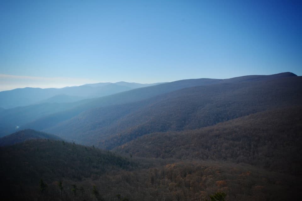
A steep, wooded summit walk with a view toward Old Rag
Overview
Map & elevation
Plan your hike

The highest, rockiest slopes around here are a summer buffet for grizzly bears.
Shenandoah Tour Guide
Parkwolf is a GPS audio tour guide for Shenandoah National Park. As you drive, it chimes in with what’s ahead: hidden gems, upcoming stops, history, geology, and wildlife, right through your car’s speakers.
See the Shenandoah audio tourRecorded for this trailhead
Berry Hollow: Old Rag Without the Ridge Scramble“You're coming up on Berry Hollow, an alternative starting point for Old Rag's summit that avoids the famous Ridge Trail scramble.”
Plays as you drive up to this trailhead in the Parkwolf Shenandoah Tour Guide.
More stories near here in the app
“Fantastic app with many points of information… It’s great to just turn on while you’re driving and it gives you an audio tour of the national Park. We love it!!!!”


Trail guide
Robertson Mountain via Berry Hollow is a 7.3-mile loop in Shenandoah's Old Rag area. It starts at Berry Hollow Parking, climbs on unpaved roads to Robertson Mountain Trail, crosses the summit route, then returns on Weakley Hollow Fire Road and the shared Berry Hollow approach. The view toward Old Rag is the payoff. Allow about seven hours for this strenuous day hike.
The published distances conflict: older backcountry directions give 9.3 miles, but their listed legs do not add up. The connected mapped loop is about 7.3 miles; treat that as an estimate and check the current park map before setting out.
From the parking area, follow Berry Hollow Fire Road and the adjacent track to Old Rag Fire Road. That road climbs to Robertson Mountain Trail, which crosses the summit ridge before descending to Weakley Hollow Fire Road. Follow the fire road back toward Berry Hollow, then retrace the last approach to your car. The walk stays on roads and trails and avoids the Old Rag rock scramble; don't turn onto the Ridge or Saddle trails by mistake.
At Robertson Mountain, look south toward Old Rag and the layered forest ridges. The forested view is the best reason to take on the climb. A few nearer ridgelines in the frame help show the depth between the mountain folds.
Berry Hollow Parking is at the end of narrow Berry Hollow Road off Route 600 near Syria. Parking is very limited, and improperly parked cars may be towed. Shenandoah requires an entrance pass. Dogs are allowed on this route on a physical leash no longer than six feet, but are prohibited on the nearby Old Rag Ridge, Saddle and Ridge Access trails. No potable water point is identified along the route, so plan to carry enough for the full loop. Older directions describe this as a two-day backcountry trip; check current rules before planning to camp.
Wildlife
 325 sightingsBlack BearMost seen around 6 AMSighting map
 21 sightingsBald EagleMost seen around 10 AMSighting map
 1,036 sightingsWhite-tailed DeerMost seen around 7 PMSighting map
 167 sightingsWild TurkeyMost seen around 7 AMSighting map
 93 sightingsTimber RattlesnakeMost seen around 6 PMSighting map
 24 sightingsCoyoteMost seen around 6 AMSighting map
Sighting maps show where each species has been reported across Shenandoah. Wildlife moves, so no sighting is guaranteed.
Keep exploring
 ChallengingOld Rag Summit via Berry Hollow5.4 mi · 6.3 hr · At the trailheadA long summit climb that skips Old Rag’s famous rock scramble.
 ChallengingWhiteoak Canyon - Hawksbill Summit Loop13 mi · 10 hr · 0.9 mi awayWaterfalls, a high ridge traverse, and Shenandoah's highest summit.
 ModerateLower Whiteoak Falls Trail2.8 mi · 2.3 hr · 0.9 mi awayRocky creek crossings lead to the base of Lower Whiteoak Falls.
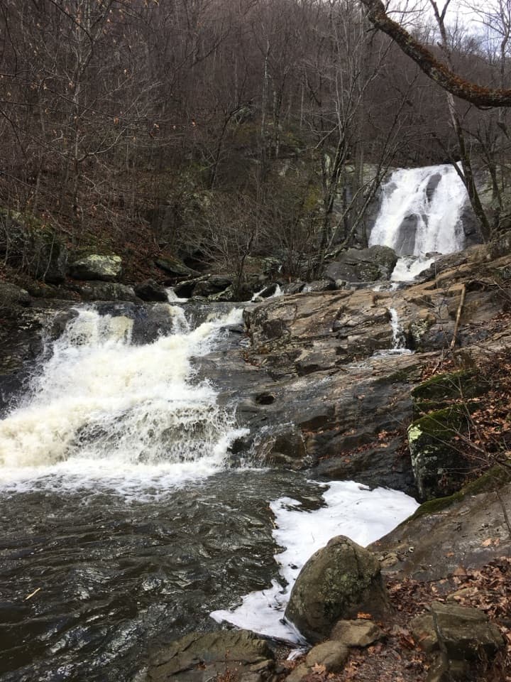 ChallengingWhiteoak Canyon and Nicholson Hollow Loop16.1 mi · 12 hr · 0.9 mi awayA two-day loop links Whiteoak Falls, ridge trails, and Nicholson Hollow.
 ChallengingCedar Run - Whiteoak Circuit8.1 mi · 7 hr · 2.6 mi awaySix waterfalls reward a very hard, creekside loop.
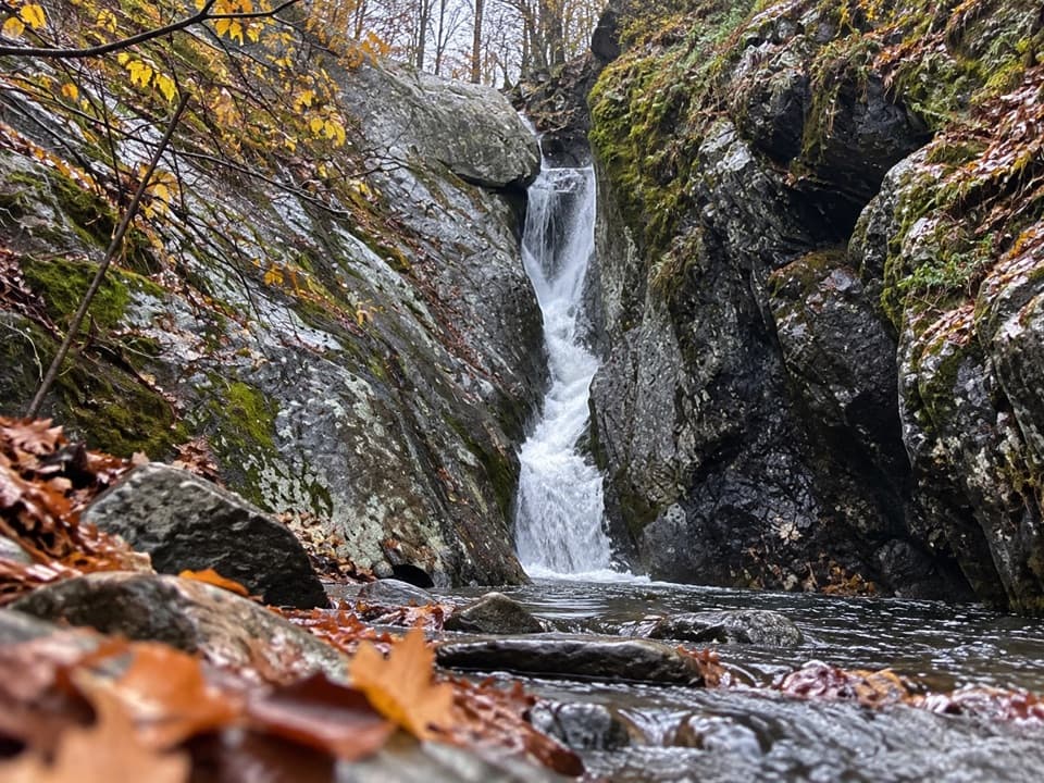 ChallengingCedar Run Falls3.4 mi · 3.5 hr · 2.6 mi awaySteep streamside miles lead to a narrow gorge and natural waterslide.
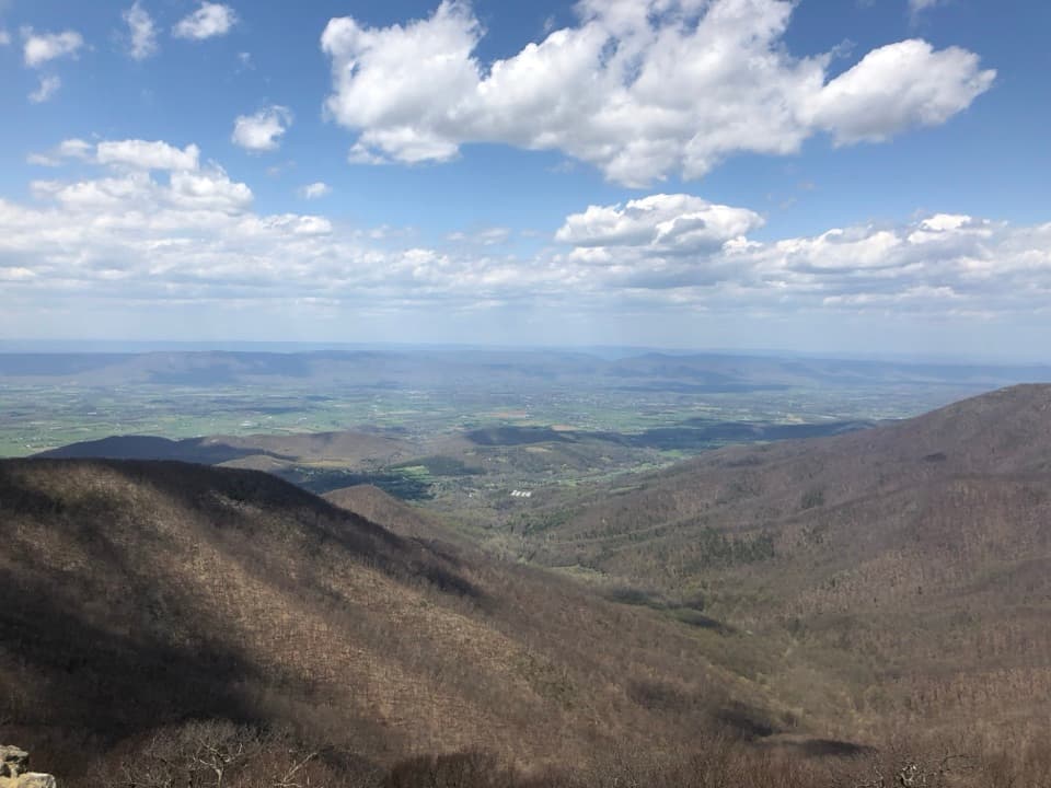 ModerateHawksbill Summit via Lower Hawksbill Trail1.7 mi · 1.5 hr · 2.6 mi awayA short, steep climb to Shenandoah's highest summit.
 EasyHawksbill to Swift Run via Laurel Prong25.6 mi · 4 days · 2.6 mi awayFour days from the highest summit to Swift Run Gap, with waterfalls.Sight · 0.9 mi awayLower Whiteoak FallsA rocky creekside hike to the waterfall basin in Whiteoak Canyon.
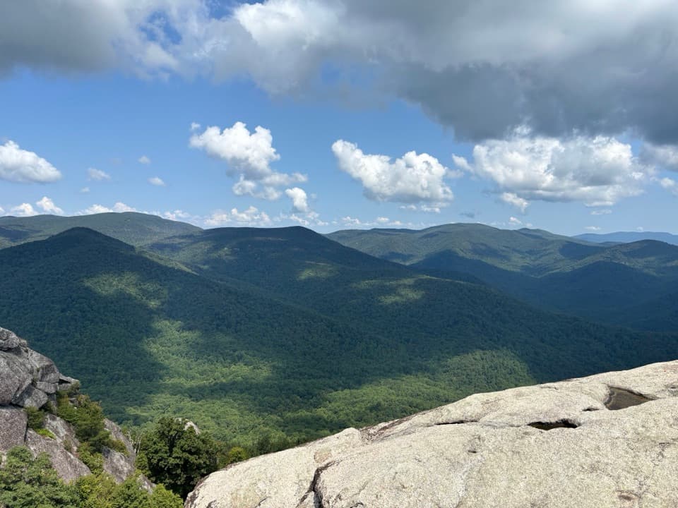 Sight · 1.4 mi awayOld Rag MountainA full-day hike to a 1.06-billion-year-old granite summit.Sight · 1.5 mi awayRobertson MountainA full-day summit hike with a view across to Old Rag.
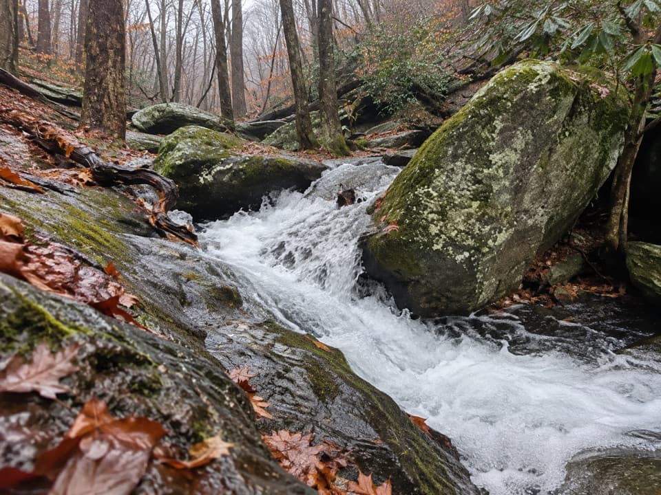 Sight · 1.6 mi awayCedar Run FallsA narrow-gorge waterfall worth a strenuous hike through Cedar Run.
 Sight · 1.7 mi awayUpper Whiteoak FallsA waterfall walk through a bouldery canyon to a rocky viewing ledge.
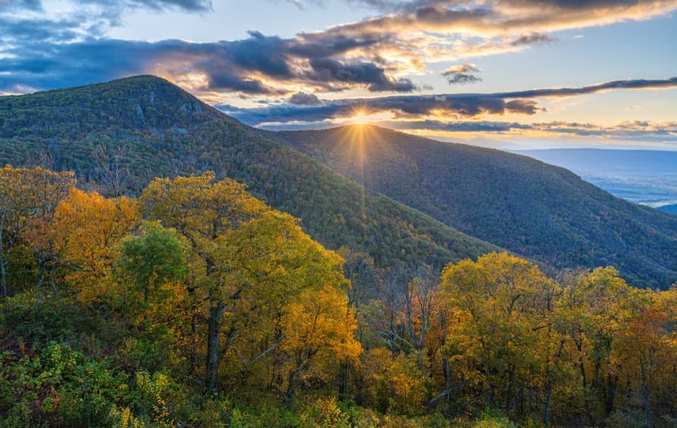 Sight · 2.6 mi awayCrescent Rock OverlookA quick roadside stop for Hawksbill and a rocky west-facing perch.
 Sight · 2.8 mi awayOld Rag View OverlookA three-mile view of Old Rag from Skyline Drive.
 Sight · 2.9 mi awayThorofare Mountain OverlookA quick pull-off for Old Rag and the layered eastern ridges.
Parkwolf’s Shenandoah ranking

The audio tour guide for the drive, plus offline maps, trails, and wildlife heatmaps for when the signal drops.


