Parking
Doyles River Parking Area on Skyline Drive at milepost 81.1. This loop starts and ends there and also reaches Jones Run Parking near milepost 84. Park entrance fee applies.
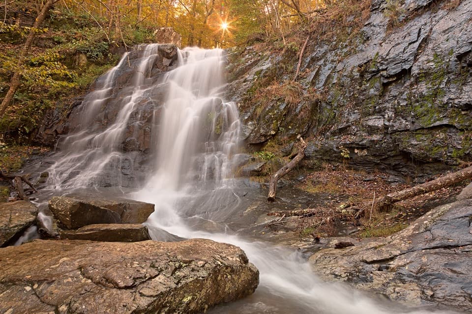
Shenandoah National Park, VA
Three waterfalls, two creek trails, and an Appalachian Trail return.
Overview
Map & elevation
Plan your hike

The highest, rockiest slopes around here are a summer buffet for grizzly bears.
Shenandoah Tour Guide
Parkwolf is a GPS audio tour guide for Shenandoah National Park. As you drive, it chimes in with what’s ahead: hidden gems, upcoming stops, history, geology, and wildlife, right through your car’s speakers.
See the Shenandoah audio tourRecorded for this trailhead
Doyles River Falls: Make Time for Both“Doyles River's trailhead is coming up, with a hike to two waterfalls stepping down dark rock ledges.”
Plays as you drive up to this trailhead in the Parkwolf Shenandoah Tour Guide.
More stories near here in the app
“Fantastic app with many points of information… It’s great to just turn on while you’re driving and it gives you an audio tour of the national Park. We love it!!!!”


Trail guide
This roughly eight-mile loop links Upper and Lower Doyles River Falls with Jones Run Falls. Start at Doyles River Parking Area on Skyline Drive at milepost 81.1. Follow Doyles River Trail downstream to its meeting with Jones Run Trail, continue to Jones Run Parking near milepost 84, then head north on the Appalachian Trail to close the loop. Allow five to six hours with breaks; this is a much bigger day than either waterfall’s out-and-back.
Doyles River Trail follows rocky banks past Upper Doyles Falls and the taller Lower Doyles Falls before meeting Jones Run. The falls are described as 28 and 63 feet high. Jones Run Falls, listed at 42 feet, is the third cascade. Water flow changes with rainfall, so the falls may be modest during dry spells.
Expect uneven, sometimes muddy trail and stream crossings, with steep rocky sections near the falls. The climb out of Jones Run is the hardest stretch. Rocks by the cascades can be slick; stay on the marked path instead of taking the steep scramble to Lower Doyles Falls’ base. The northbound Appalachian Trail return is a wooded ridge walk and runs close enough to Skyline Drive for occasional road noise.
This line follows the full Doyles River–Jones Run circuit and its Appalachian Trail return. Some older route descriptions report about six miles for a different loop using Browns Gap Fire Road; those distances do not match this route. For a shorter outing, the Doyles River falls walk is about 3.3 miles round trip, while Jones Run Falls has its own out-and-back. Dogs are allowed on a leash no longer than six feet. Park entrance fee applies.
Wildlife
 325 sightingsBlack BearMost seen around 6 AMSighting map
 21 sightingsBald EagleMost seen around 10 AMSighting map
 1,036 sightingsWhite-tailed DeerMost seen around 7 PMSighting map
 167 sightingsWild TurkeyMost seen around 7 AMSighting map
 93 sightingsTimber RattlesnakeMost seen around 6 PMSighting map
 24 sightingsCoyoteMost seen around 6 AMSighting map
Sighting maps show where each species has been reported across Shenandoah. Wildlife moves, so no sighting is guaranteed.
Keep exploring
ChallengingJones Run, Big Run & Brown Mountain Backpacking Loop29 mi · 20 hr · At the trailheadThree waterfalls and four days around a rugged mountain watershed.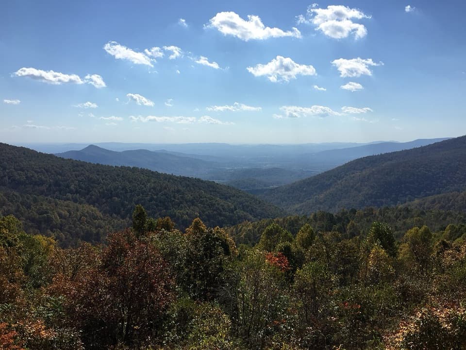 ModerateBig Run Loop Trail5.8 mi · 3.5 hr · At the trailheadDrop to Big Run, then climb back to a Skyline Drive view.
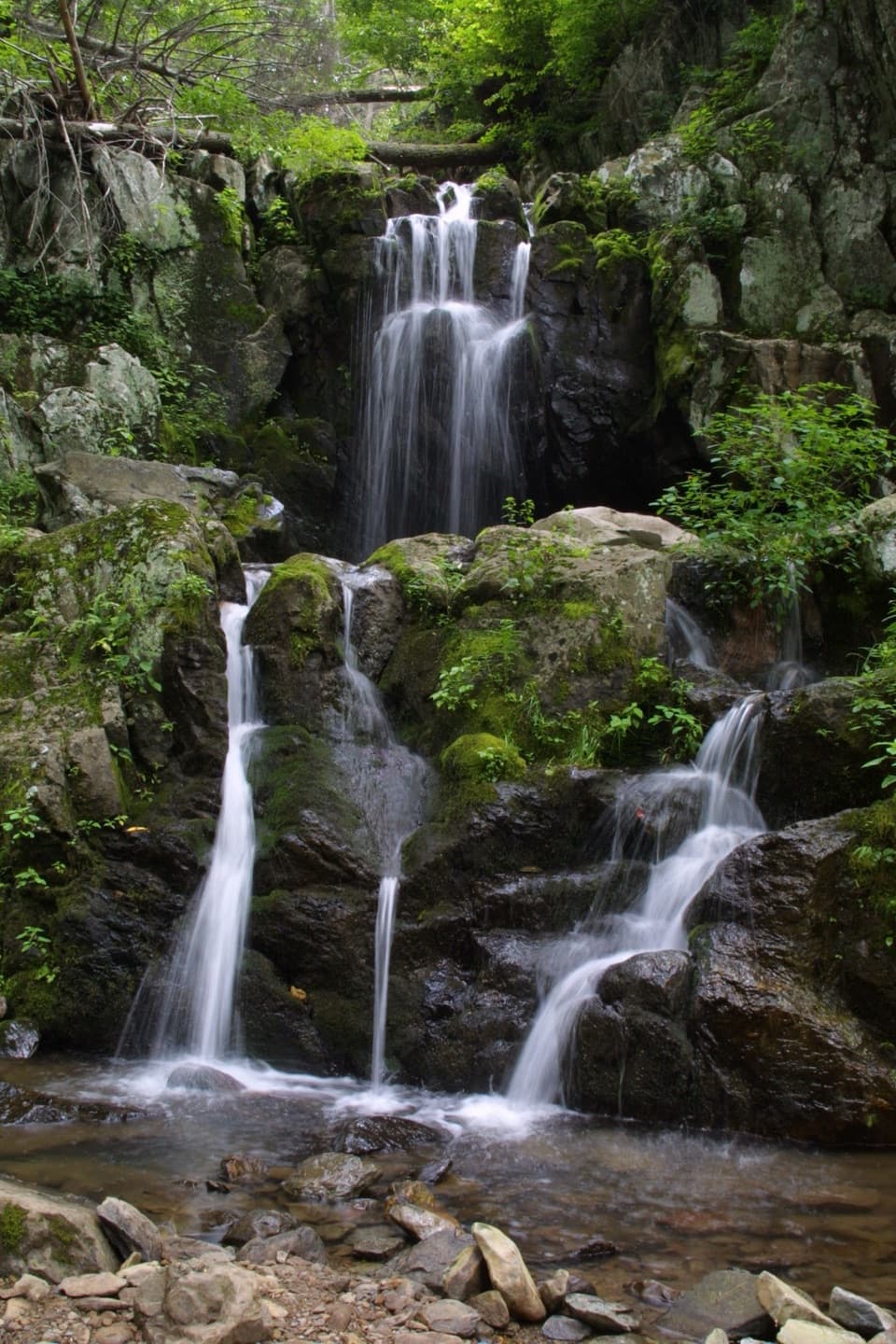 ChallengingSouth District Highlights in 7 Days59.1 mi · 1.6 days · At the trailheadA rugged weeklong loop of waterfalls, river valleys, and rocky ridges.ChallengingJones Run, Furnace Mountain, and Big Run Circuit21.9 mi · 4 days · At the trailheadA four-day circuit linking three waterfalls and Big Run valley.
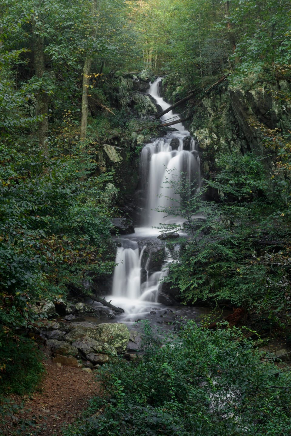 ModerateDoyles River Falls Hike3.3 mi · 2.5 hr · At the trailheadTwo waterfalls reward the climb back up to Skyline Drive.
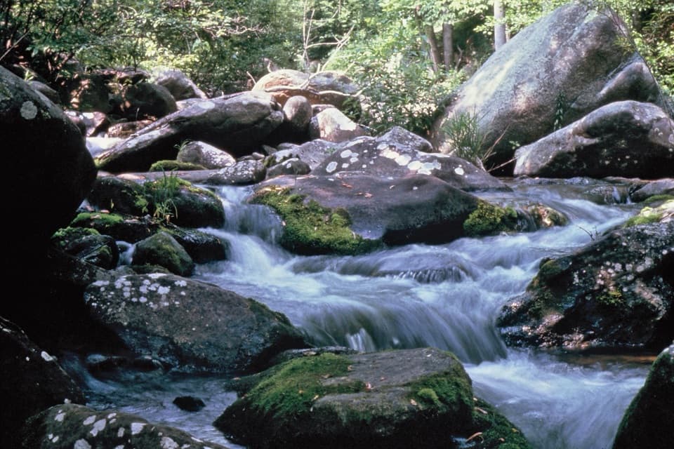 ModerateBig Run Portal via Big Run Loop5.4 mi · 4.5 hr · 0.1 mi awayA flexible backcountry trip with repeated Big Run crossings.ChallengingBig Run, Doyles River, and Frazier Loop18.1 mi · 12.5 hr · 1.3 mi awayThree waterfall valleys make this a serious backcountry loop.ModerateLoft Mountain to Jones Run Backpacking Route9 mi · 8 hr · 1.3 mi awayTwo nights on the trail, three waterfalls, and a point-to-point finish.
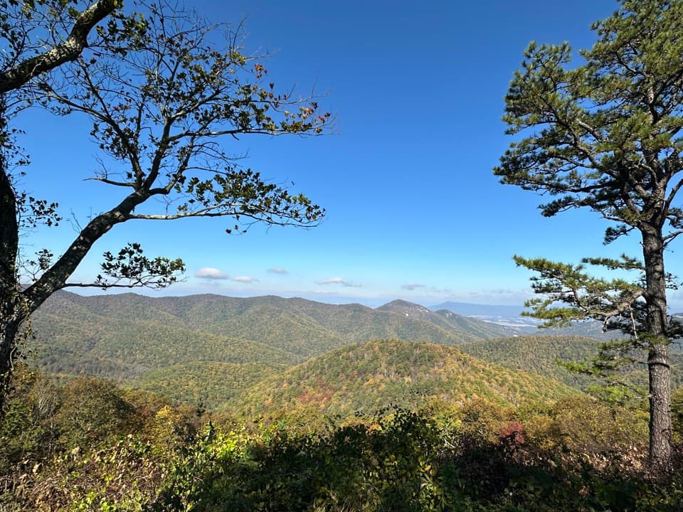 Scenic pullout · 0.1 mi awayBig Run OverlookA Skyline Drive overlook with a public seasonal photo station.
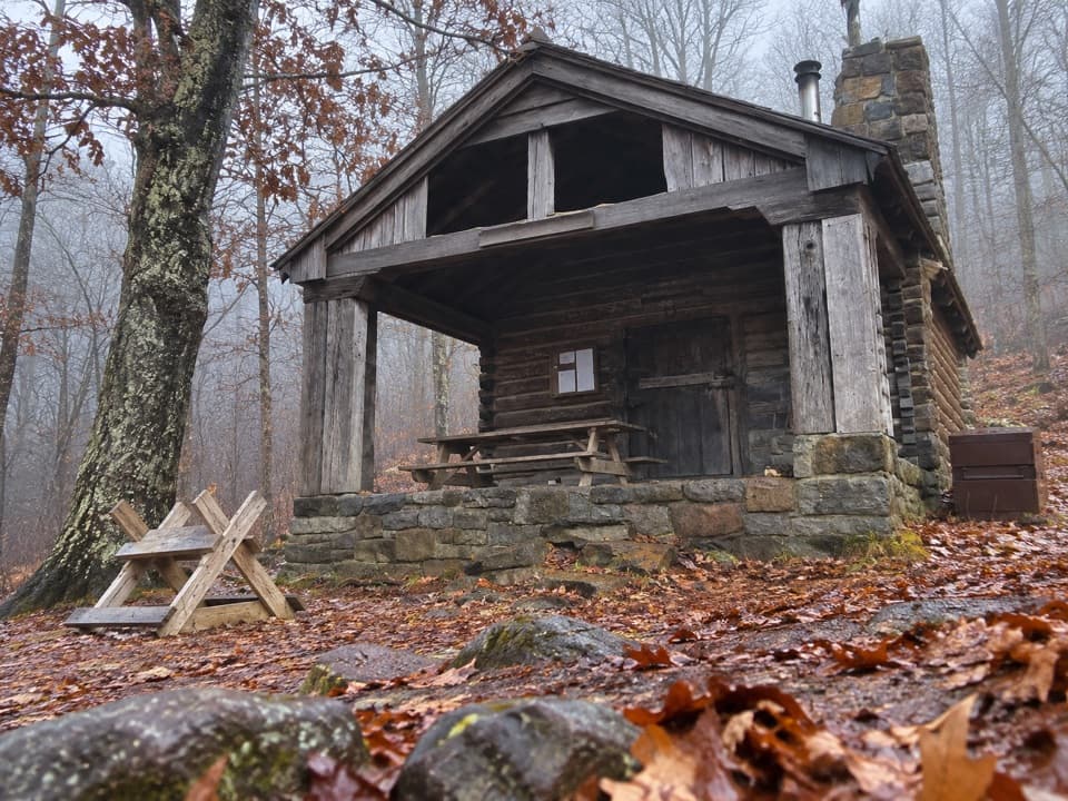 Lodging · 0.3 mi awayDoyles River CabinA CCC cabin stay with a porch over Cedar Mountain.
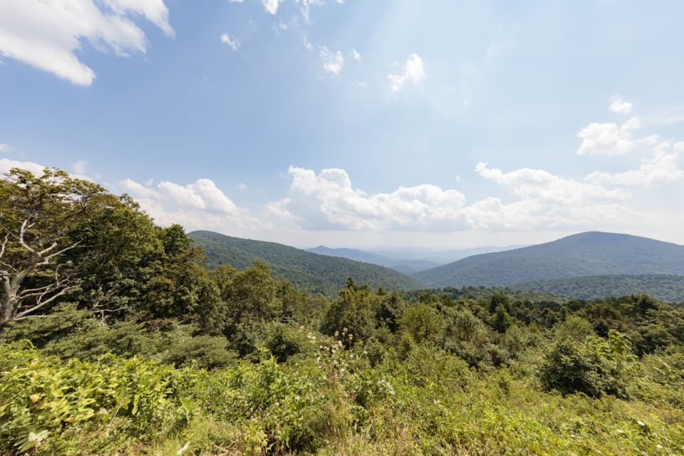 Scenic pullout · 0.8 mi awayDoyles River OverlookA south-facing cove view with a history worth pausing for.
 Campground · 0.9 mi awayLoft Mountain CampgroundA ridgeline camp with sunset views and waterfall hikes nearby.
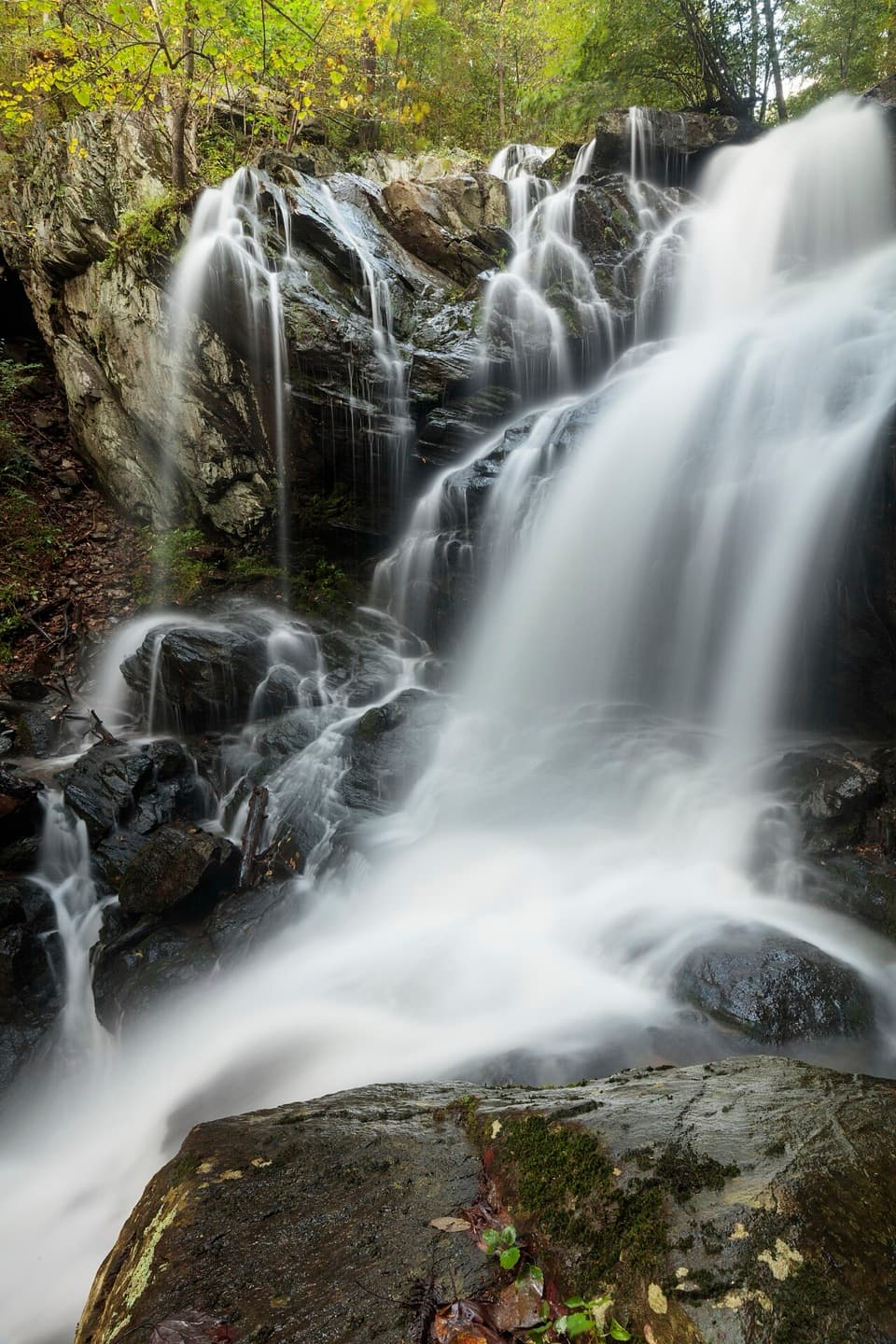 Sight · 1.2 mi awayDoyles River FallsTwo waterfalls, a forest stream, and a long climb back out.
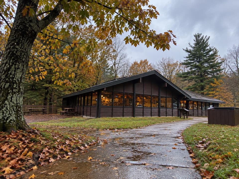 Food · 1.3 mi awayLoft Mountain WaysideA practical mile-79.5 break for shakes, souvenirs and picnic tables.
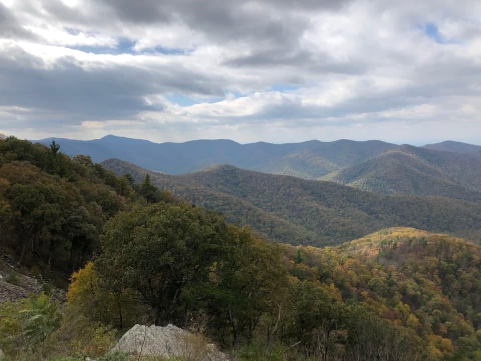 Sight · 2 mi awayRockytop OverlookA quick pull-off with a wide view across the southern Blue Ridge.Sight · 2.1 mi awayJones Run FallsA 42-foot cascade; save energy for the uphill return.
Parkwolf’s Shenandoah ranking

The audio tour guide for the drive, plus offline maps, trails, and wildlife heatmaps for when the signal drops.





