Parking
Start and finish at the north end of the Loft Mountain Wayside parking area on Skyline Drive, near mile 79.5. Follow the access north beside the drive toward Patterson Ridge.
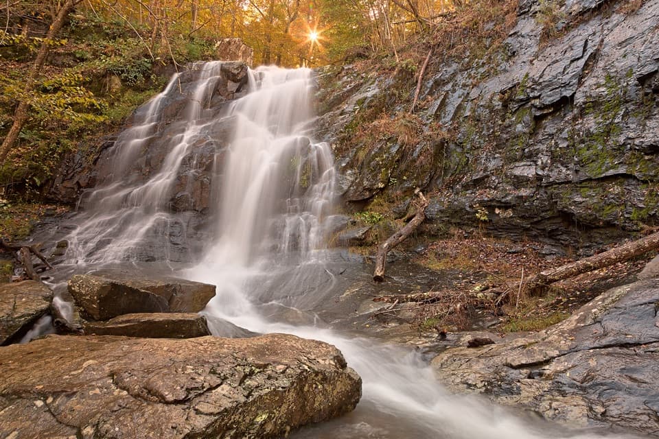
Shenandoah National Park, VA
Three waterfall valleys make this a serious backcountry loop.
Overview
Map & elevation
Plan your hike

The highest, rockiest slopes around here are a summer buffet for grizzly bears.
Shenandoah Tour Guide
Parkwolf is a GPS audio tour guide for Shenandoah National Park. As you drive, it chimes in with what’s ahead: hidden gems, upcoming stops, history, geology, and wildlife, right through your car’s speakers.
See the Shenandoah audio tourRecorded for this area
Loft Mountain Wayside: Milkshakes and a Short Hike“You're coming up on Loft Mountain Wayside, a handy seasonal stop for sandwiches, milkshakes and a break from driving. I'd look for a black raspberry milkshake if you want a treat.”
Plays on the road 0.1 mi from the trailhead in the Parkwolf Shenandoah Tour Guide.
More stories near here in the app
“Fantastic app with many points of information… It’s great to just turn on while you’re driving and it gives you an audio tour of the national Park. We love it!!!!”


Trail guide
This roughly 18-mile loop links several Shenandoah trails rather than following one continuously named path. From Loft Mountain Wayside it takes Patterson Ridge toward Big Run, follows Big Run Portal upstream, then joins Big Run Loop and the Appalachian Trail to reach Jones Run and Doyles River. A second Appalachian Trail stretch returns to the north side of Frazier Discovery Trail and the same parking area. The base loop is 18.1 miles; the optional extra Big Run circuit is a separate, longer outing. This is planned as a backcountry overnight trip. A day hike means a very long outing, so allow about 12 hours with stops and be realistic about your pace.
Start from the north end of the Loft Mountain Wayside lot and follow the access north beside Skyline Drive to Patterson Ridge. The route descends toward Big Run before its stream-valley stretch, then climbs out to the Appalachian Trail and the waterfalls. Follow the connecting trail sequence carefully: nearby Big Run, Doyles River and Jones Run waterfall circuits are shorter hikes and do not cover this loop. The planned direction also avoids finishing with the climb up Patterson Ridge, which makes reversing the itinerary a tougher way to walk it.
Big Run Portal follows the drainage and crosses streams several times. When water is high, those crossings can reach knee or waist depth, especially in spring or after heavy rain. This is the route's main condition-dependent obstacle; check water and weather before committing to the valley, and do not assume every crossing will be safe or easy. The narrow valley and repeated crossings are part of the hike, not a quick approach to the next trail junction.
The route reaches Jones Run Falls, a 42-foot cascade, then continues upstream along Doyles River to Upper and Lower Doyles River Falls. These are distinct waterfall stops along a much longer circuit; the familiar short waterfall loops from nearby trailheads are not substitutes for the full route. Wet rock around falls is extremely slippery. Stay off waterfall tops and edges; falls in the park have caused serious and fatal injuries.
Near the end, the itinerary takes only the right-hand, north side of Frazier Discovery Trail, about 0.7 mile, before crossing Skyline Drive back to the car. Overlooks there open onto layered ridges including Big Flat, Trayfoot, Austin, Rockytop and Rocky. The full Frazier Discovery loop is a separate 1.2-mile option, not an extra section to add to this route. Pets are prohibited on Frazier Discovery Trail, so dogs cannot accompany visitors on the complete itinerary.
The trailhead is at the north end of the Loft Mountain Wayside parking area on Skyline Drive near mile 79.5; the loop finishes there too. The wayside has food service at the start and finish, but it is not an on-route resupply stop. For an overnight, obtain a current backcountry permit and use current campsite rules and maps; older trip directions may not reflect today's permitted camping locations. The shorter Frazier Discovery walk can suit visitors looking for a brief overlook outing, but it also prohibits pets.
Wildlife
 325 sightingsBlack BearMost seen around 6 AMSighting map
 21 sightingsBald EagleMost seen around 10 AMSighting map
 1,036 sightingsWhite-tailed DeerMost seen around 7 PMSighting map
 167 sightingsWild TurkeyMost seen around 7 AMSighting map
 93 sightingsTimber RattlesnakeMost seen around 6 PMSighting map
 24 sightingsCoyoteMost seen around 6 AMSighting map
Sighting maps show where each species has been reported across Shenandoah. Wildlife moves, so no sighting is guaranteed.
Keep exploring
ModerateLoft Mountain to Jones Run Backpacking Route9 mi · 8 hr · At the trailheadTwo nights on the trail, three waterfalls, and a point-to-point finish.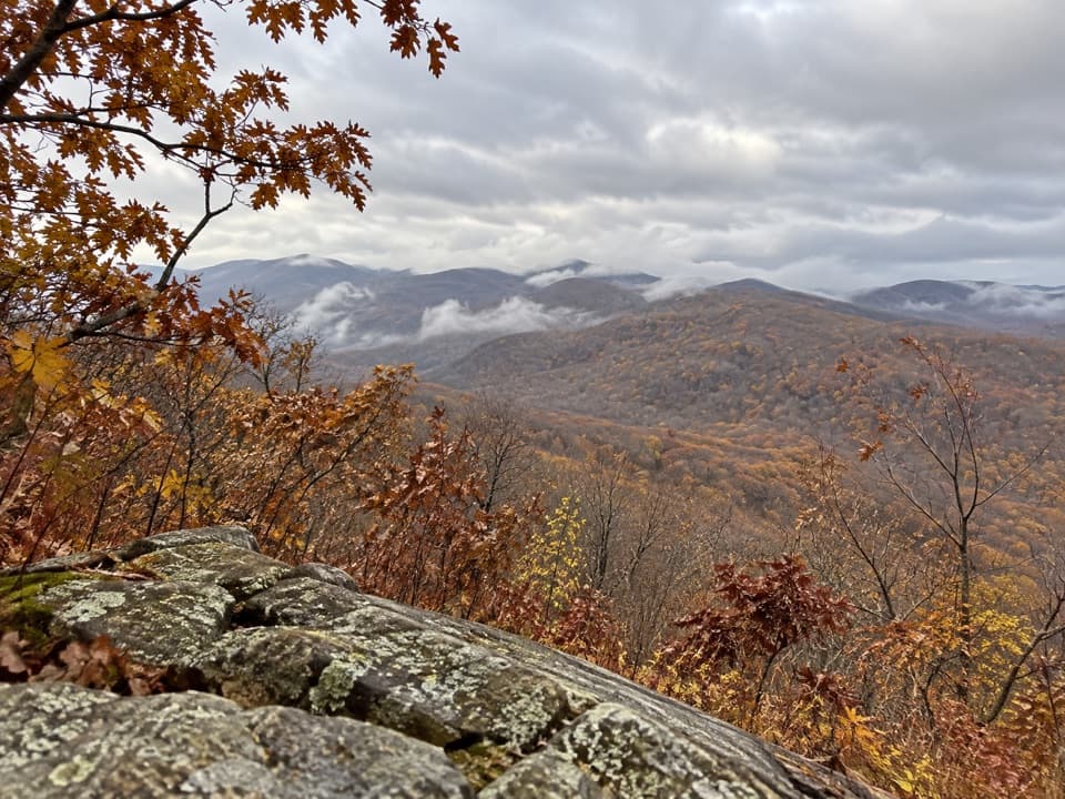 ModerateBig Flat Mountain Loop4.7 mi · 2.8 hr · At the trailheadCampground paths lead to Appalachian Trail views over Massanutten.
 ModerateLoft Mountain Loop2.1 mi · 1.8 hr · 0.1 mi awayFrazier rocks, Appalachian Trail views, and a fire-road return loop.
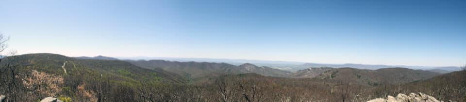 ChallengingPatterson Ridge - Big Run Portal Loop11.4 mi · 8 hr · 0.1 mi awayCreek crossings lead to a hard climb and a wide ridge panorama.
 ModerateFrazier Discovery Trail1.2 mi · 1.3 hr · 0.1 mi awayA short climb to rocky overlooks above Loft Mountain's forest.
 ChallengingPatterson Ridge Trail6.2 mi · 4.5 hr · 0.1 mi awayA strenuous ridge out-and-back with a long climb from Big Run.ChallengingDoyles River–Jones Run Loop8 mi · 5.5 hr · 1.3 mi awayThree waterfalls, two creek trails, and an Appalachian Trail return.ChallengingJones Run, Big Run & Brown Mountain Backpacking Loop29 mi · 20 hr · 1.3 mi awayThree waterfalls and four days around a rugged mountain watershed.
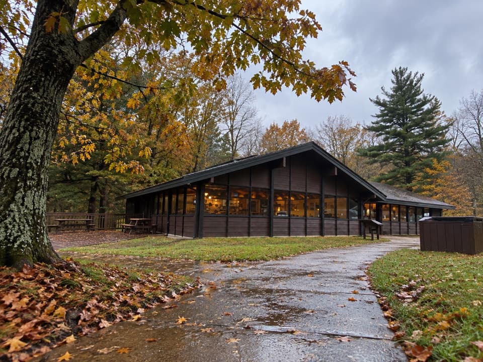 Food · At the trailheadLoft Mountain WaysideA practical mile-79.5 break for shakes, souvenirs and picnic tables.
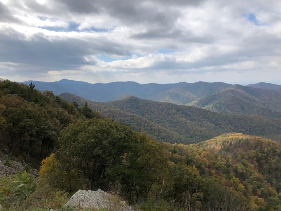 Sight · 1.2 mi awayRockytop OverlookA quick pull-off with a wide view across the southern Blue Ridge.
 Campground · 1.2 mi awayLoft Mountain CampgroundA ridgeline camp with sunset views and waterfall hikes nearby.
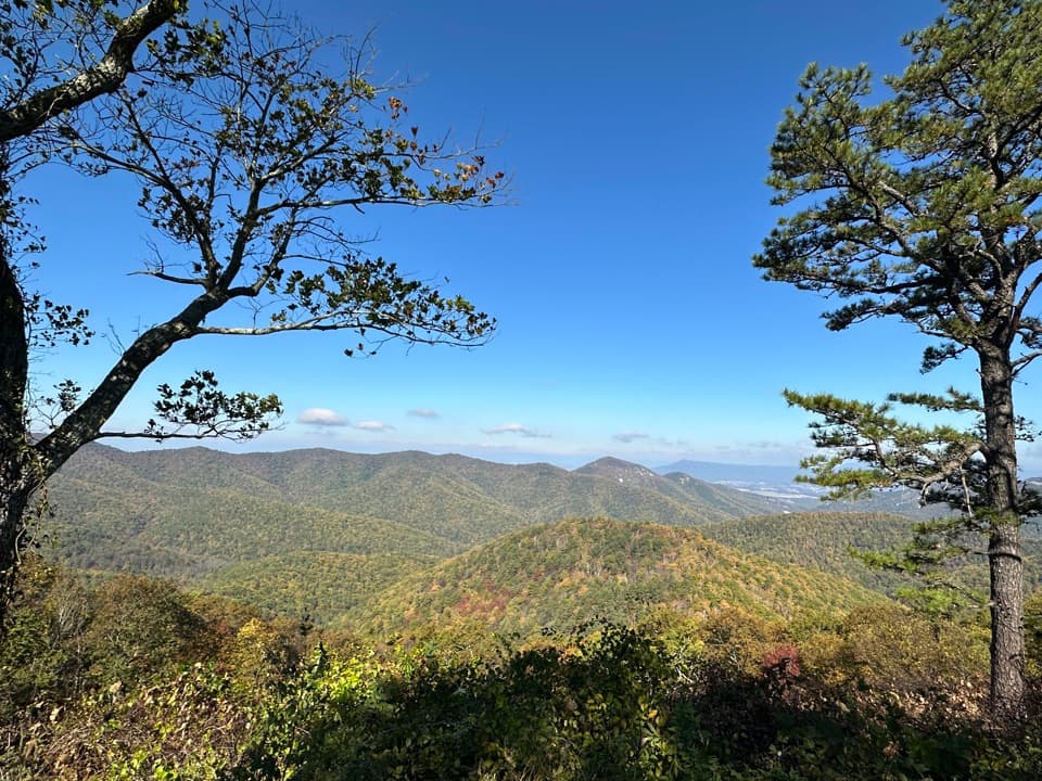 Scenic pullout · 1.4 mi awayBig Run OverlookA Skyline Drive overlook with a public seasonal photo station.
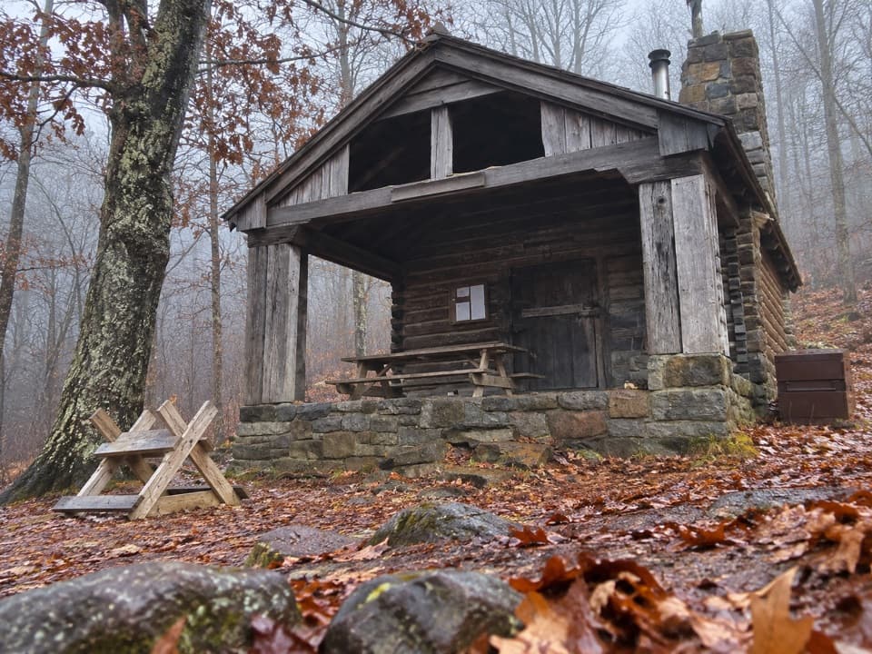 Lodging · 1.4 mi awayDoyles River CabinA CCC cabin stay with a porch over Cedar Mountain.
 Scenic pullout · 1.5 mi awayIvy Creek OverlookWeaver, Loft, and Flattop line up across this quick roadside stop.
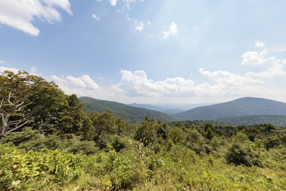 Scenic pullout · 2.1 mi awayDoyles River OverlookA south-facing cove view with a history worth pausing for.
 Scenic pullout · 2.1 mi awayBrown Mountain OverlookA long roadside view over Big Run and the Blue Ridge.
Parkwolf’s Shenandoah ranking

The audio tour guide for the drive, plus offline maps, trails, and wildlife heatmaps for when the signal drops.





