Parking
Start at the Madison Run Fire Road boundary access on Brown’s Gap Road. No dedicated lot, pullout details or capacity were confirmed; verify the current designated parking point before you go.

Shenandoah National Park, VA
A hard mountain loop with a boulder summit and rough talus.
Overview
Map & elevation
Plan your hike

The highest, rockiest slopes around here are a summer buffet for grizzly bears.
Shenandoah Tour Guide
Parkwolf is a GPS audio tour guide for Shenandoah National Park. As you drive, it chimes in with what’s ahead: hidden gems, upcoming stops, history, geology, and wildlife, right through your car’s speakers.
See the Shenandoah audio tourMore stories near here in the app
“Fantastic app with many points of information… It’s great to just turn on while you’re driving and it gives you an audio tour of the national Park. We love it!!!!”


Trail guide
Furnace Mountain–Austin Mountain Loop is a hard, roughly 12.8-mile circuit from the Madison Run boundary access, over Furnace and Trayfoot, through Blackrock Summit and Austin Mountain, then back alongside Madison Run. The mapped route includes the out-and-back Furnace Summit viewpoint spur. Allow about eight hours; published totals vary, but this line measures about 12.7 miles. Choose it for a full day of changing ridge scenery, a boulder summit and a creekside finish. The loose rock and steep downhill make it a poor pick for an easy stroll or anyone avoiding rough footing.
Walk about 0.2 mile up Madison Run Fire Road, then turn onto Furnace Mountain Trail. Cross Madison Run by rock-hopping and climb steadily on rough trail. Take the Furnace Summit spur; its roughly one-mile return trip is part of the stored distance. From the overlook, you can see across the gorge to Austin Mountain’s pale talus slopes and, with a careful look, pick out Skyline Drive.
Continue down Trayfoot Mountain Trail, whose broad old road bed gives your legs a short break, then follow Blackrock Spur into the jumble of boulders at Blackrock Summit. This open summit gives the circuit its broadest valley view. Pause here; frame some of the gray rocks against the ridges so the foreground shows how broken the slope is. From Blackrock, head north on the Appalachian Trail for about two miles to Browns Gap. This is the easiest stretch, crossing Skyline Drive and passing Dundo Picnic Area. Restrooms and a water tap were reported there years ago, but their current status is unconfirmed.
From Browns Gap, descend about 0.8 mile on Madison Run Fire Road, then climb Madison Run Spur and Rockytop to Austin Mountain Trail. Views from the ridge look into Dundo Hollow and back toward Furnace; they open up more after the leaves fall. The route passes close to, but does not reach, the Austin or Trayfoot summits. About a mile of Austin Mountain Trail crosses loose talus, followed by a steep, knee-grinding descent. After that, the fire road follows Madison Run back to the start.
The starting access is at the Brown’s Gap Road boundary, by Madison Run Fire Road. A dedicated lot or parking capacity was not confirmed, so verify the current designated parking point before setting out. Shenandoah charges an entrance fee even for visitors who enter on foot from a boundary trailhead. No dependable water source or food service was confirmed along the route; don’t plan on the old report about Dundo. Pets are allowed on most park trails on a physical leash no longer than six feet; the named trail segments used here are not listed among the exceptions.
Wildlife
 325 sightingsBlack BearMost seen around 6 AMSighting map
 21 sightingsBald EagleMost seen around 10 AMSighting map
 1,036 sightingsWhite-tailed DeerMost seen around 7 PMSighting map
 167 sightingsWild TurkeyMost seen around 7 AMSighting map
 93 sightingsTimber RattlesnakeMost seen around 6 PMSighting map
 24 sightingsCoyoteMost seen around 6 AMSighting map
Sighting maps show where each species has been reported across Shenandoah. Wildlife moves, so no sighting is guaranteed.
Keep exploring
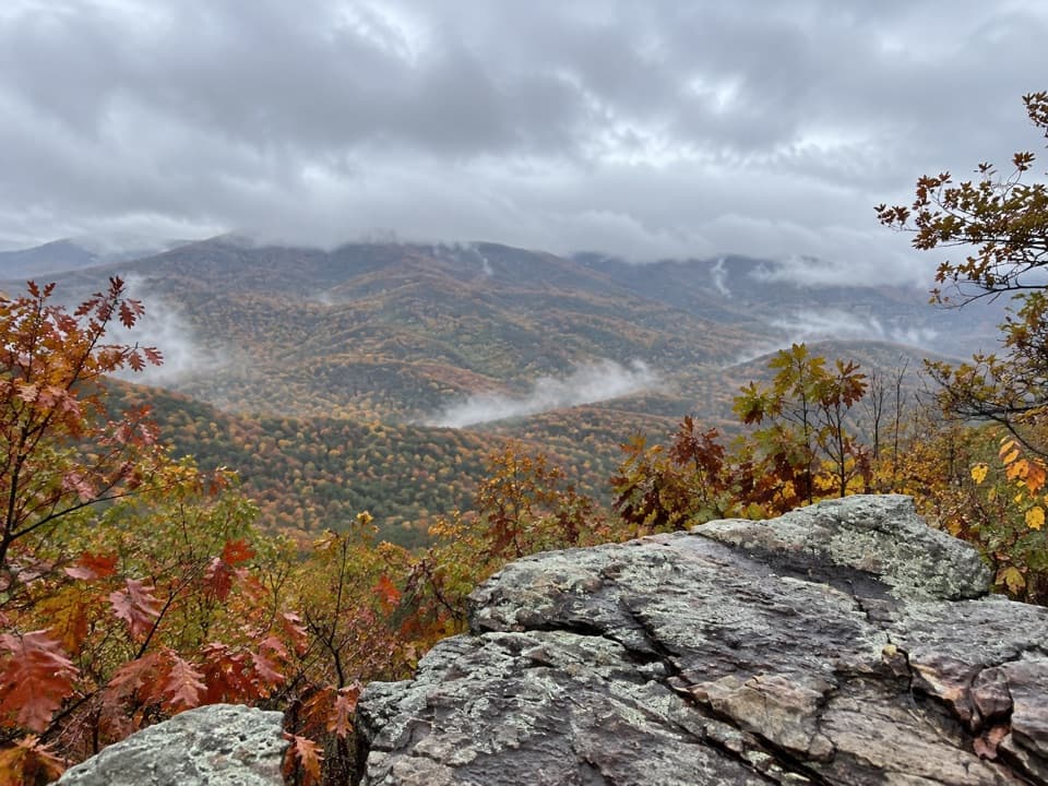 ChallengingFurnace Mountain Trail4.4 mi · 3.5 hr · At the trailheadA rocky climb to a summit outcrop with views on both sides.
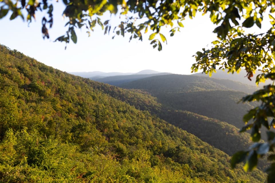 ChallengingFurnace Mountain, Jones Run & Big Run Loop25.4 mi · 22 hr · At the trailheadThree waterfalls, a wild valley and a two-night backcountry loop.
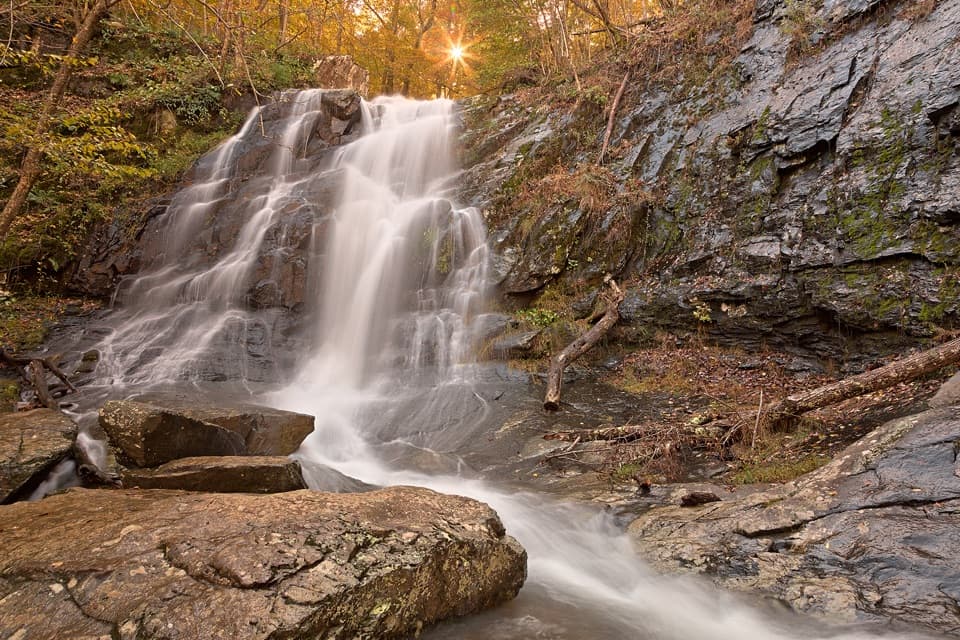 ChallengingFurnace Mountain, Jones Run, and Austin Mountain Loop17.6 mi · 15 hr · 0.1 mi awayThree waterfalls and a rugged two-day loop over southern ridges.ChallengingPaine Run, Doyles River, and Austin Mountain Loop25.8 mi · 18 hr · 0.1 mi awayThree waterfalls on a three-day, 25.8-mile backcountry loop.ChallengingFurnace Mountain, Paine Run, Jones Run & Big Run Loop36.1 mi · 1 day · 0.1 mi awayA demanding four-day loop links ridges, waterfalls, and Big Run.ModerateJones Run Falls Hike3.2 mi · 2.5 hr · 3.2 mi awayA wooded descent to a 42-foot cascade, then an uphill return.EasyBlackrock Summit Loop1 mi · 1 hr · 3.2 mi awayA one-mile circuit to a boulder slope and Shenandoah views.
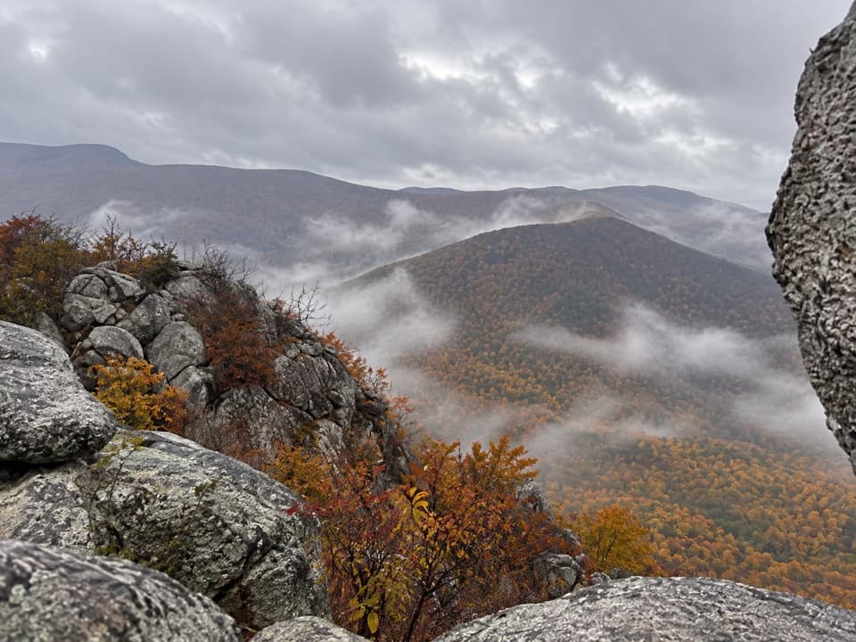 ModerateLewis Peak via Rockytop Trail9.1 mi · 5 hr · 3.5 mi awayA long, rocky ridge hike earns an open summit ledge.
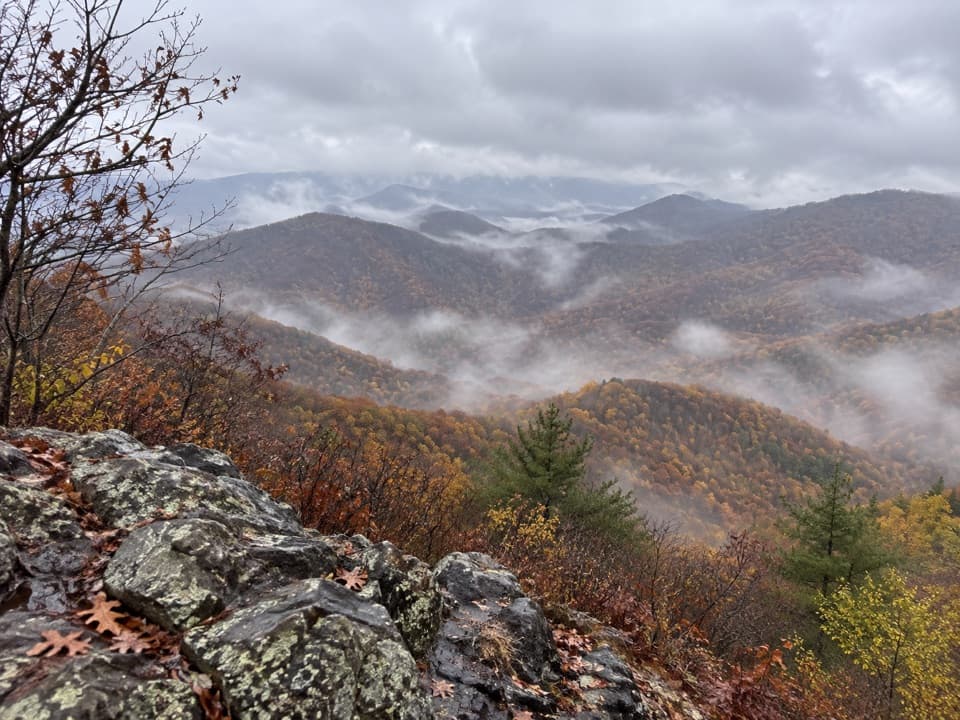 Sight · 0.9 mi awayFurnace MountainAn open rock ledge earns the climb with sweeping valley views.Sight · 3.1 mi awayBlackrock SummitA short loop to a boulder summit and a wide Shenandoah view.
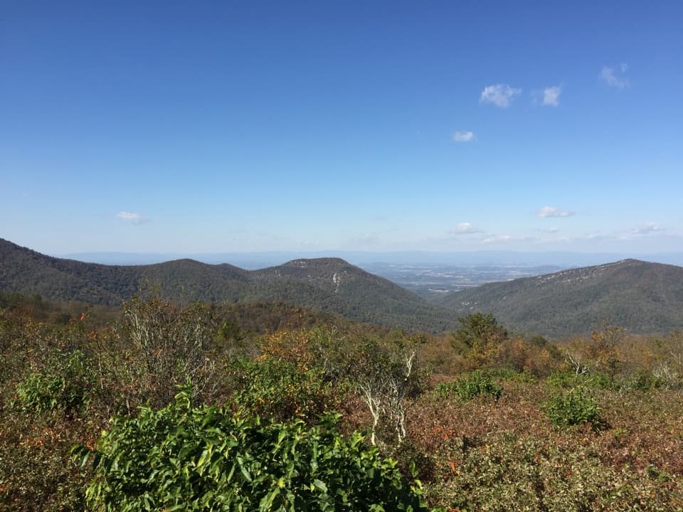 Scenic pullout · 3.2 mi awayDundo OverlookA quick pullout for Massanutten and the valley beyond.
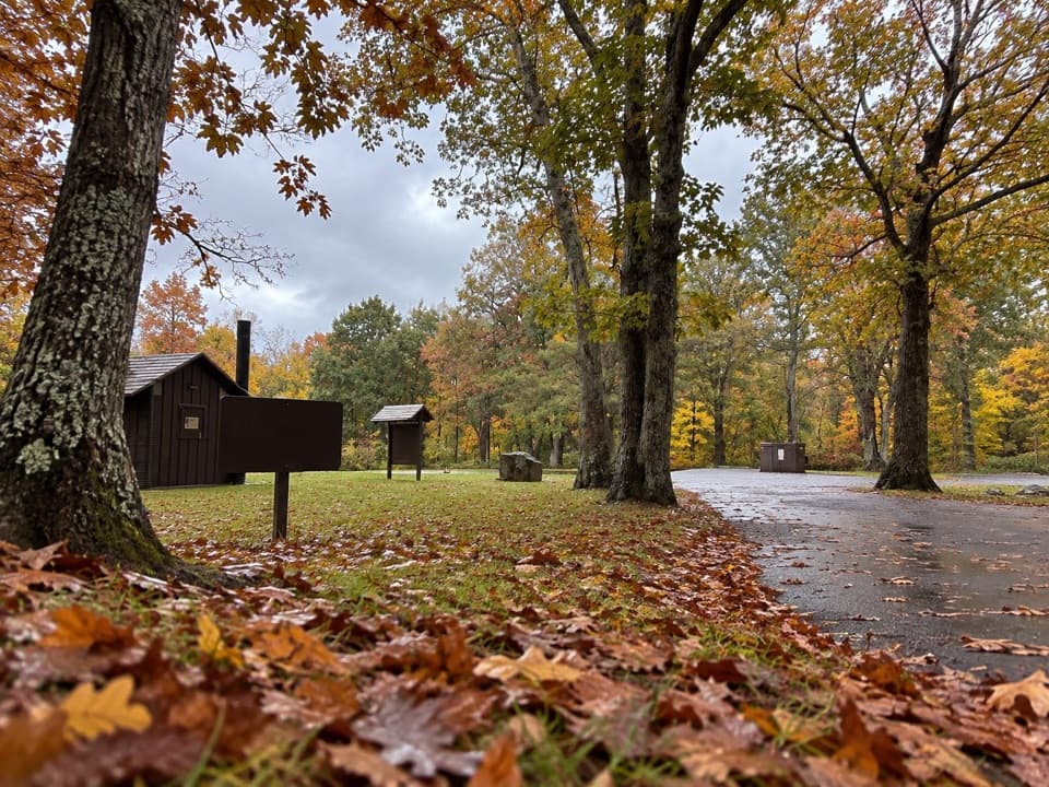 Picnic area · 3.3 mi awayDundo Picnic GroundsA shady picnic stop with a small Civilian Conservation Corps story.
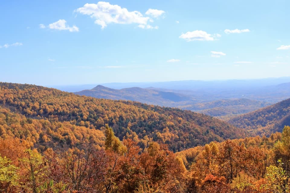 Scenic pullout · 3.9 mi awayTrayfoot Mountain OverlookA quick Skyline Drive pullout for layered mountain views.Sight · 4.1 mi awayJones Run FallsA 42-foot cascade; save energy for the uphill return.
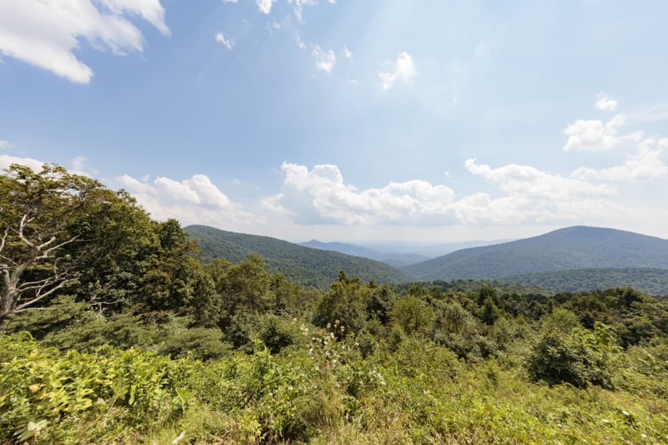 Scenic pullout · 4.3 mi awayDoyles River OverlookA south-facing cove view with a history worth pausing for.
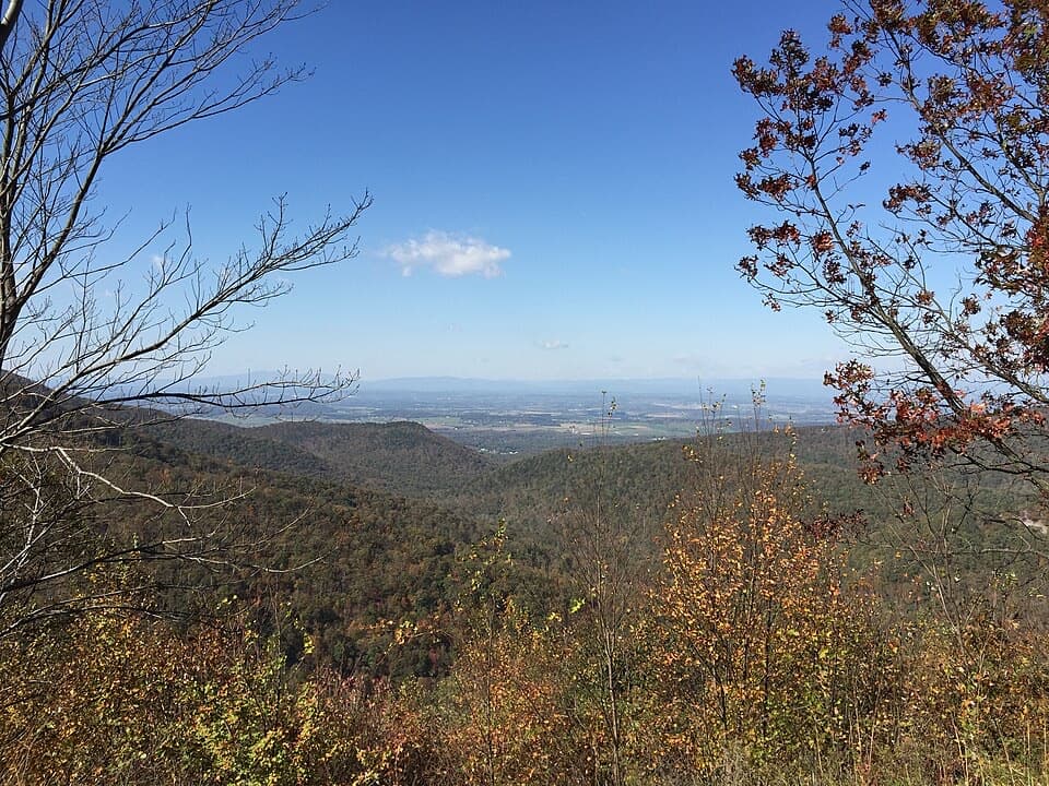 Scenic pullout · 4.6 mi awayHorsehead OverlookA quick Skyline Drive view with a story in the rocks.
Parkwolf’s Shenandoah ranking

The audio tour guide for the drive, plus offline maps, trails, and wildlife heatmaps for when the signal drops.




