Furnace Mountain in Shenandoah National Park

Sight · Shenandoah National Park

Furnace Mountain

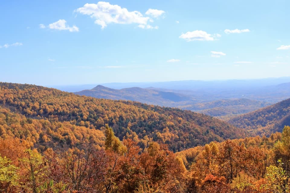
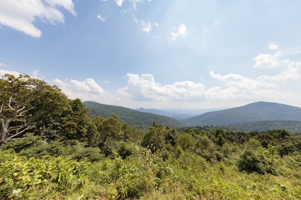
An open rock ledge earns the climb with sweeping valley views.

Type
Sight
Nearest trail
0.9 mi
  • Scenic viewpoint
  • Trailhead
  • #46 of 114 sights
Parkwolf audio tour146 stories across Shenandoah’s roads

Overview

About Furnace Mountain

Why stop

  • A flat summit ledge opens over the Shenandoah Valley.

Heads up

  • The shortest approach climbs more than 1,300 feet.

Map

Where it is

Loading the Shenandoah map
Full map
SightFurnace Mountain38.24779, -78.76172
Keep this map with you offline in the Parkwolf app

Plan your stop

Before you go

2 active Shenandoah alerts

  • ClosureOld Rag Trailhead main lot closedThe Old Rag Trailhead main parking lot is closed to vehicles and pedestrians for infrastructure improvements; use the existing overflow lots. - Work is expected to be completed by November 2026.Official details
  • ClosureBackcountry camping and zone closuresBackcountry camping is prohibited on the Appalachian Trail from Lewis Mountain to Big Meadows, and the Naked Creek backcountry zone is closed.Official details
Shenandoah alerts
A park ranger sits on a dash-mounted phone, talking, as Parkwolf’s Tour Guide plays “Army Cutworm Moths: A Grizzly Bear Buffet” on Grand Loop Road below Dunraven Pass in Yellowstone
Parkwolf Tour GuideThe highest, rockiest slopes around here are a summer buffet for grizzly bears.

Shenandoah Tour Guide

Your drive to Furnace Mountain, narrated.

Parkwolf is a GPS audio tour guide for Shenandoah National Park. As you drive, it chimes in with what’s ahead: hidden gems, upcoming stops, history, geology, and wildlife, right through your car’s speakers.

See the Shenandoah audio tour

More stories near here in the app

  • Jones Run Falls: A Cascade in the Woods
  • Blackrock Summit: A Short Walk to the Boulder Field
  • Dundo Overlook: A Valley Campaign in the Landscape
  • Dundo Picnic Grounds: Lunch at an Old CCC Camp
  • 146 audio storiesacross Shenandoah’s roads, triggered by GPS as you drive
  • Wildlife heatmapsfor Black Bear, Bald Eagle, White-tailed Deer, and 13 more
  • Works offlinemaps, 163 trails, 142 places, and audio download before you lose signal
  • CarPlay readysimple controls built for the drive
★★★★★
“Fantastic app with many points of information… It’s great to just turn on while you’re driving and it gives you an audio tour of the national Park. We love it!!!!”
JMJamesApp Store review
Download Parkwolf on the App StoreGet Parkwolf on Google Play

4.7 from 8,600+ ratings

Guide

More about Furnace Mountain

A broad summit ledgeFurnace Mountain is a rocky summit in Shenandoah National Park's South District, reached by a…

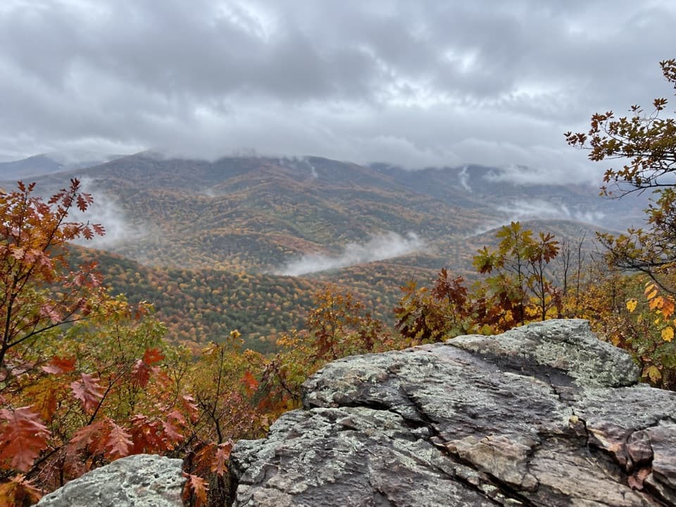
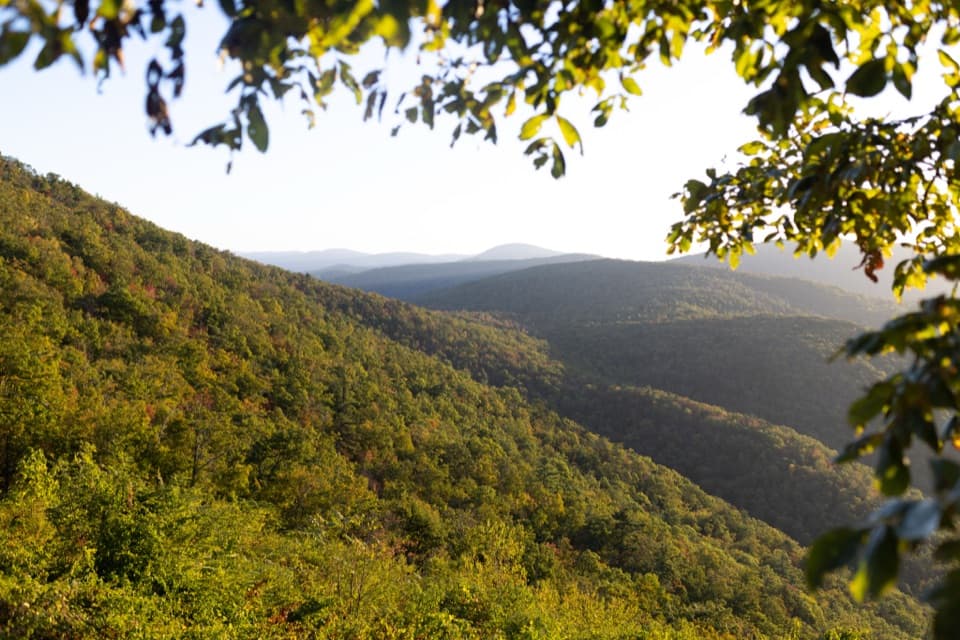
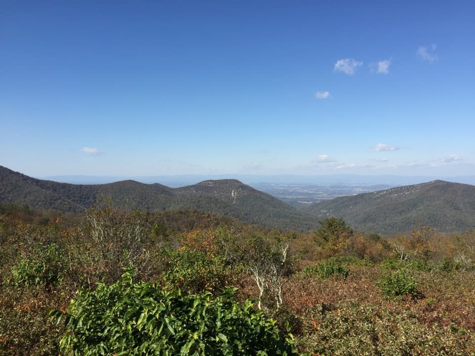
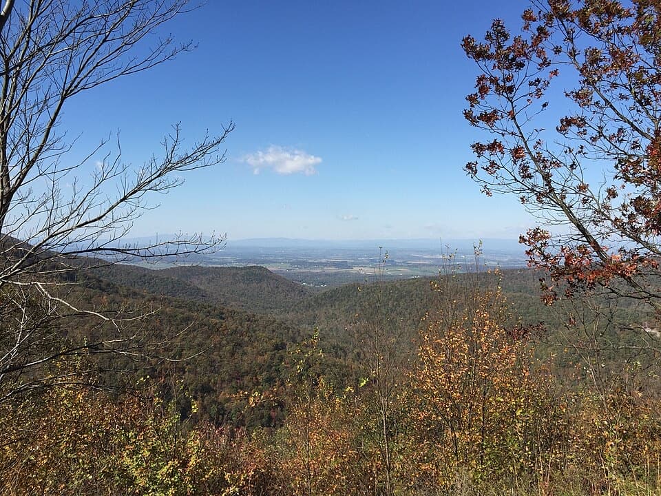
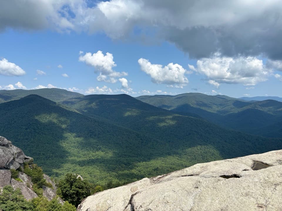
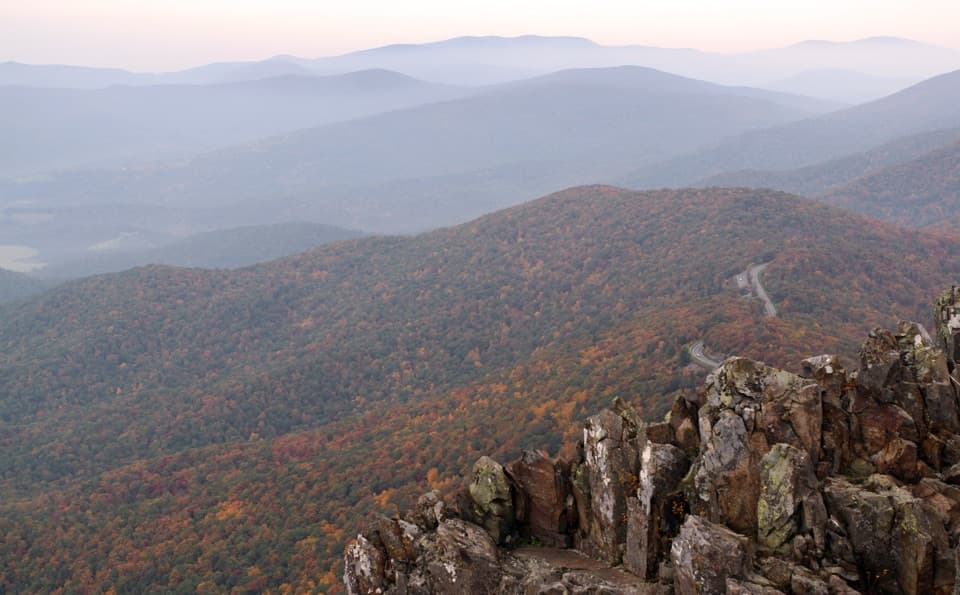
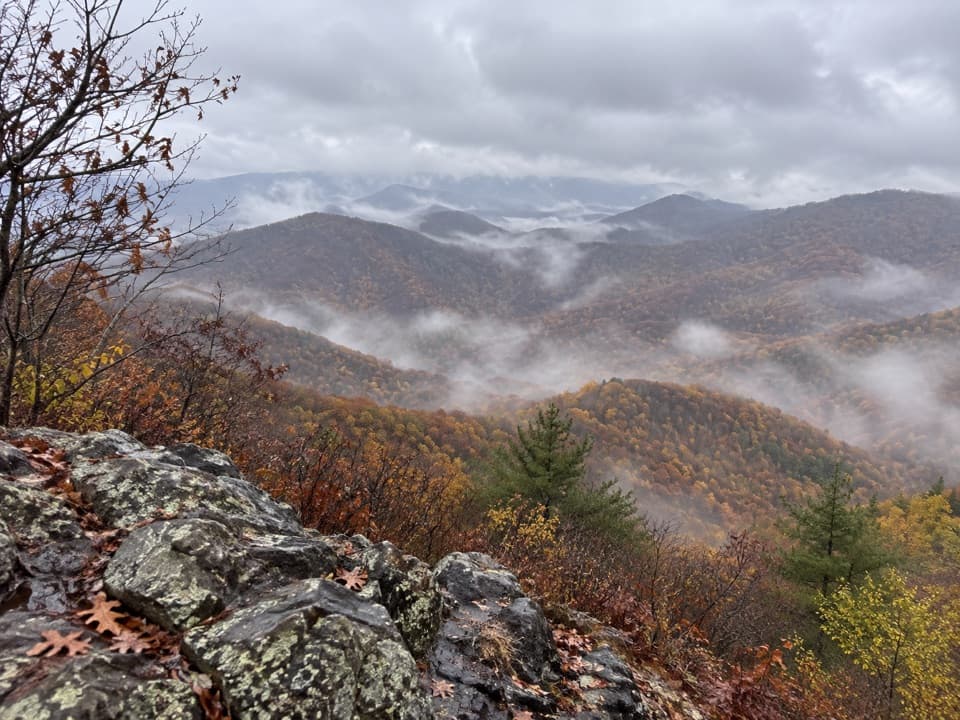
Furnace Mountain is a rocky summit in Shenandoah National Park's South District, reached by a half-mile spur from Furnace Mountain Trail. The flat ledge opens across the Blue Ridge and Shenandoah Valley, with Skyline Drive visible along the ridge beyond. It is a rewarding stop if you want a substantial hike for an open rock-top view. For a photo, keep the ledge in the foreground and the valley beyond it.

Choose your approachThe shorter approach starts at the end of Browns Gap Road, where roadside parking is just…

The shorter approach starts at the end of Browns Gap Road, where roadside parking is just before the gated Madison Run Fire Road. From there, expect about 4.4 miles round trip and more than 1,300 feet of climbing, mostly uphill to the summit. The half-mile spur is the final climb. The Skyline Drive approach starts at the Blackrock Summit lot and is about 6.9 miles round trip with 1,798 feet of gain. It rolls up and down, but adds the open rock field at Blackrock and views toward Massanutten along the Trayfoot Mountain Trail.

The route to the rocksFrom Browns Gap, walk in past the gate, turn onto Furnace Mountain Trail, then cross Madison…

From Browns Gap, walk in past the gate, turn onto Furnace Mountain Trail, then cross Madison Run on stepping stones before climbing through a boulder field. The trail is marked with light-blue blazes. Stones can be underwater after high water, so do not count on that crossing being dry. The trees thin and the vegetation gets shorter as the Shenandoah Valley opens behind you; at the summit marker, take the uphill spur to the ledge.

Plan for a self-contained hikeThere are no services along the trail, and phone reception is limited.

There are no services along the trail, and phone reception is limited. The creek is not potable without filtering or purification. Bring the water and food you will need before leaving the trailhead; do not expect a shop or restroom on the route.

An ironworks gave the mountain its nameMount Vernon Furnace was built at the mountain's base in 1830 to smelt iron ore.

Mount Vernon Furnace was built at the mountain's base in 1830 to smelt iron ore. It was destroyed during the Civil War, rebuilt, and used briefly as iron production shifted elsewhere. Madison Run carries a separate local history: it was named for John Madison, an early Augusta County court clerk and uncle of James Madison.

Wildlife

Wildlife in Shenandoah

All Shenandoah wildlife maps

Sighting maps show where each species has been reported across Shenandoah. Wildlife moves, so no sighting is guaranteed.

Keep exploring

Near Furnace Mountain

See it all on the map

Trails nearby

More stops nearby

Parkwolf’s Shenandoah ranking

Top sights in Shenandoah

All 142 places
  1. 1Old Rag MountainSight
  2. 2Big MeadowsSight
  3. 3Hawksbill SummitSight
  4. 4Stony Man SummitSight
  5. 5Dark Hollow FallsSight
  6. 6Marys RockSight

Take Parkwolf to Shenandoah.

The audio tour guide for the drive, plus offline maps, trails, and wildlife heatmaps for when the signal drops.

4.7 from 8,600+ ratings

Download Parkwolf on the App StoreGet Parkwolf on Google Play