Parking
Use Madison Run Boundary on Browns Gap Road (Virginia Route 663), near Route 708. The roadside area holds about eight cars; park clear of the gate.
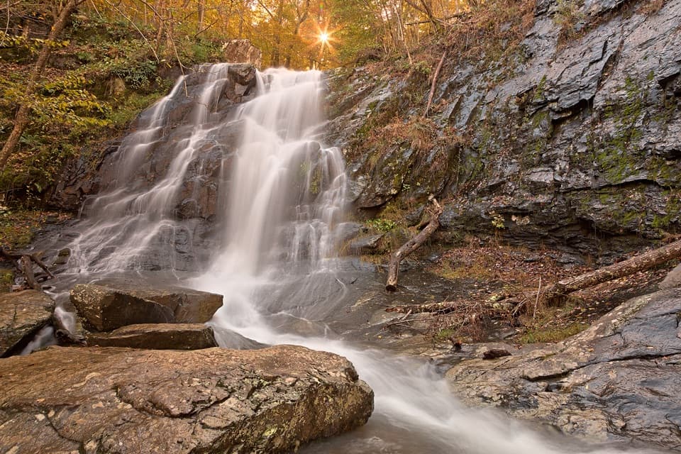
Shenandoah National Park, VA
Three waterfalls and a rugged two-day loop over southern ridges.
Overview
Map & elevation
Plan your hike

The highest, rockiest slopes around here are a summer buffet for grizzly bears.
Shenandoah Tour Guide
Parkwolf is a GPS audio tour guide for Shenandoah National Park. As you drive, it chimes in with what’s ahead: hidden gems, upcoming stops, history, geology, and wildlife, right through your car’s speakers.
See the Shenandoah audio tourMore stories near here in the app
“Fantastic app with many points of information… It’s great to just turn on while you’re driving and it gives you an audio tour of the national Park. We love it!!!!”


Trail guide
This is a 17.6-mile loop from the Madison Run boundary access through Furnace Mountain, Blackrock, Jones Run, Doyles River, Big Run, Rockytop and Austin Mountain. The two-day itinerary covers 8.8 miles each day and is rated for experienced hikers; budget about 15 hours of hiking across both days, apart from breaks and the overnight. The published total includes the optional one-mile round-trip Furnace Mountain summit spur. Skip that out-and-back and plan about 16.6 miles. This is a backcountry route with steep, rocky climbs and stream crossings, not a set of short waterfall walks.
From the boundary gate, walk about 0.1 mile up Madison Run Fire Road to Furnace Mountain Trail. The climb crosses Madison Run on stones, follows the creek briefly, then gains the ridge over rocky ground and a boulder field. A one-mile round-trip spur reaches Furnace Mountain's summit outcrop, with views toward Massanutten and a glimpse of Skyline Drive. Continue on Trayfoot Mountain Trail, take Blackrock Spur, and climb onto the broad talus at Blackrock Summit. The open boulders give the circuit its broadest panorama across the valley and surrounding ridges; watch your footing on the uneven rock.
From Blackrock, the route takes the Appalachian Trail north before dropping down Jones Run to the confluence with Doyles River. Jones Run Falls, a 42-foot drop, is the main waterfall stop here. Turn upstream on Doyles River Trail to pass two more falls, bringing the route's total to three. These streamside miles are beautiful but can slow the day: crossings on Jones Run may become difficult or dangerous in spring and after heavy rain, and Doyles has crossings as well. If water is high, do not treat a marked crossing as automatically safe.
At the Appalachian Trail, turn south, then take Big Run Loop to its four-way junction. Stay straight onto Rockytop rather than continuing around Big Run Loop; turn onto Austin Mountain Trail at the next junction. The ridge offers occasional looks back toward Furnace Mountain. Austin's lower descent is the roughest finish: a long stretch of loose talus leads to a steep drop to Madison Run Fire Road. Looking uphill, the slanted rock wall has a castle-like outline. The final 0.7 mile on the fire road returns to the boundary gate.
Quartzite underlies many of the South District's cliffs and boulder fields, and freeze-thaw weathering helps break the rock into the talus you cross at Blackrock and Austin. Furnace Mountain takes its name from Mount Vernon Furnace, an iron-smelting site at its base; its exact construction date is disputed, so the date is best left out. The Madison Run corridor can also be a good place to listen for spring and early-summer songbirds, including warblers and Louisiana waterthrushes.
Start at Madison Run Boundary on Browns Gap Road (Virginia Route 663), near Route 708. The roadside parking area holds about eight cars; keep the gate clear. Bring a route map and know the junction order, especially where Big Run Loop meets Rockytop. There is no verified restroom, food service or potable water at the access. A Shenandoah entrance pass is required even when entering on foot from the boundary. The two-day plan involves backcountry camping, which requires a purchased permit. Pets are allowed on this route, but must stay on a physical leash no longer than six feet.
Wildlife
 325 sightingsBlack BearMost seen around 6 AMSighting map
 21 sightingsBald EagleMost seen around 10 AMSighting map
 1,036 sightingsWhite-tailed DeerMost seen around 7 PMSighting map
 167 sightingsWild TurkeyMost seen around 7 AMSighting map
 93 sightingsTimber RattlesnakeMost seen around 6 PMSighting map
 24 sightingsCoyoteMost seen around 6 AMSighting map
Sighting maps show where each species has been reported across Shenandoah. Wildlife moves, so no sighting is guaranteed.
Keep exploring
ChallengingPaine Run, Doyles River, and Austin Mountain Loop25.8 mi · 18 hr · At the trailheadThree waterfalls on a three-day, 25.8-mile backcountry loop.ChallengingFurnace Mountain, Paine Run, Jones Run & Big Run Loop36.1 mi · 1 day · At the trailheadA demanding four-day loop links ridges, waterfalls, and Big Run. ChallengingFurnace Mountain - Austin Mountain Loop12.8 mi · 8 hr · 0.1 mi awayA hard mountain loop with a boulder summit and rough talus.
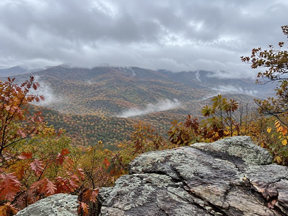 ChallengingFurnace Mountain Trail4.4 mi · 3.5 hr · 0.1 mi awayA rocky climb to a summit outcrop with views on both sides.
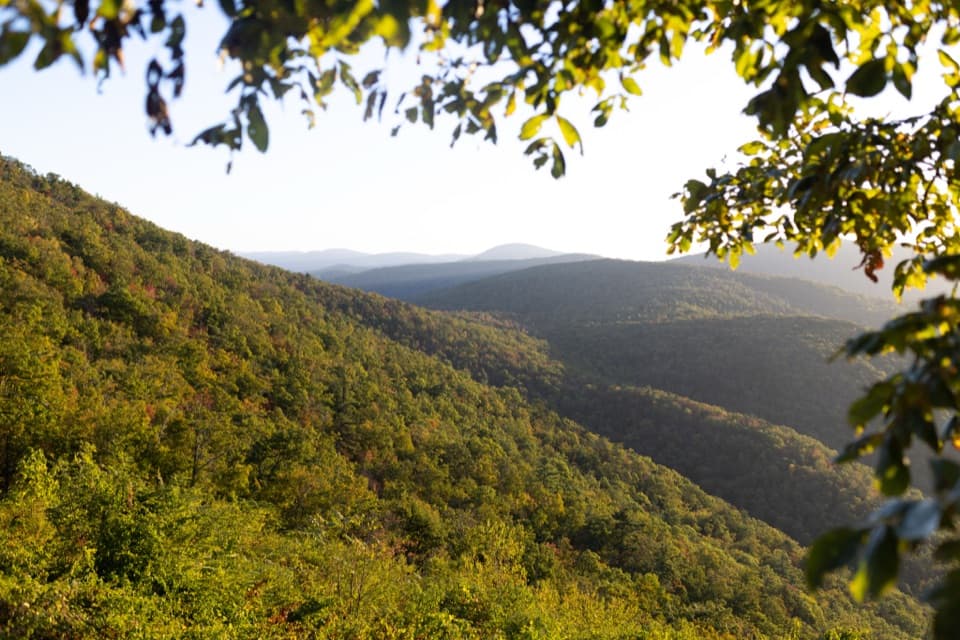 ChallengingFurnace Mountain, Jones Run & Big Run Loop25.4 mi · 22 hr · 0.1 mi awayThree waterfalls, a wild valley and a two-night backcountry loop.ModerateJones Run Falls Hike3.2 mi · 2.5 hr · 3.1 mi awayA wooded descent to a 42-foot cascade, then an uphill return.EasyBlackrock Summit Loop1 mi · 1 hr · 3.2 mi awayA one-mile circuit to a boulder slope and Shenandoah views.
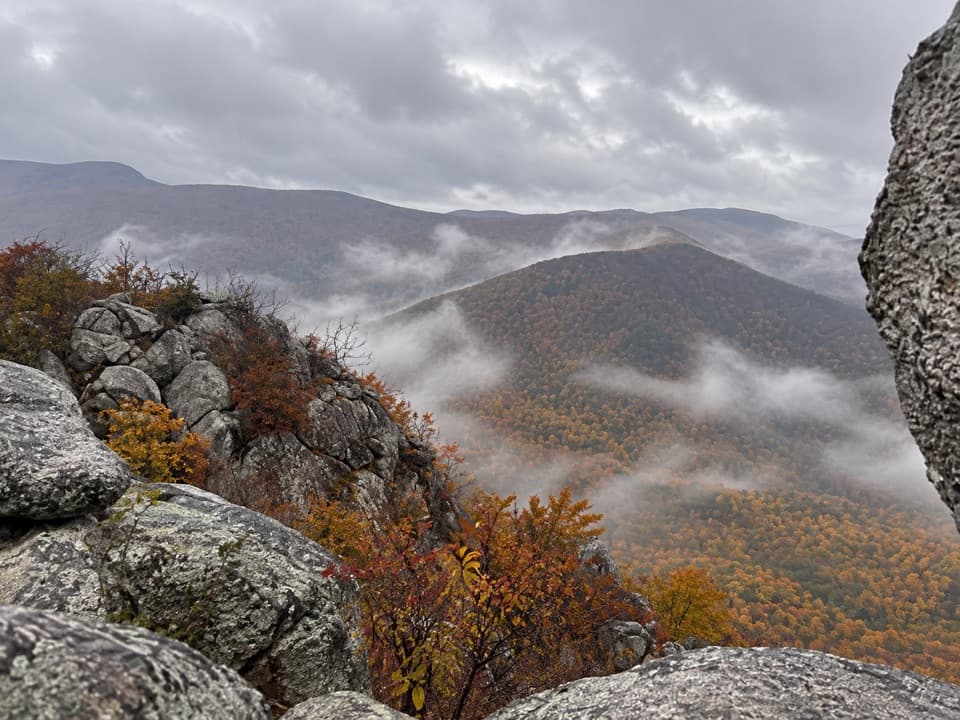 ModerateLewis Peak via Rockytop Trail9.1 mi · 5 hr · 3.5 mi awayA long, rocky ridge hike earns an open summit ledge.
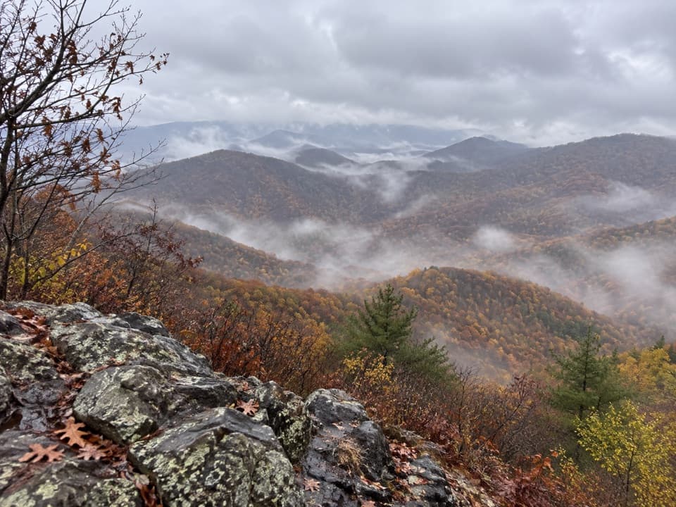 Sight · 0.9 mi awayFurnace MountainAn open rock ledge earns the climb with sweeping valley views.Sight · 3.1 mi awayBlackrock SummitA short loop to a boulder summit and a wide Shenandoah view.
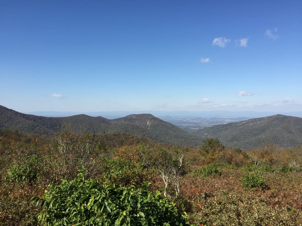 Scenic pullout · 3.1 mi awayDundo OverlookA quick pullout for Massanutten and the valley beyond.
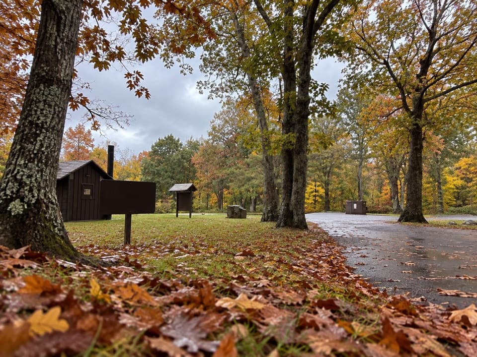 Picnic area · 3.3 mi awayDundo Picnic GroundsA shady picnic stop with a small Civilian Conservation Corps story.
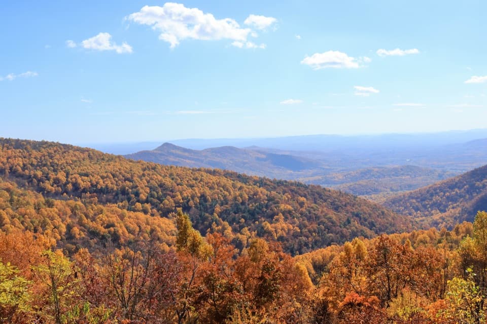 Scenic pullout · 3.9 mi awayTrayfoot Mountain OverlookA quick Skyline Drive pullout for layered mountain views.Sight · 4.1 mi awayJones Run FallsA 42-foot cascade; save energy for the uphill return.
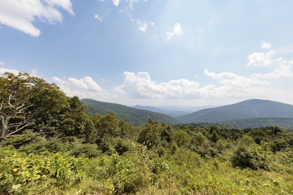 Scenic pullout · 4.3 mi awayDoyles River OverlookA south-facing cove view with a history worth pausing for.
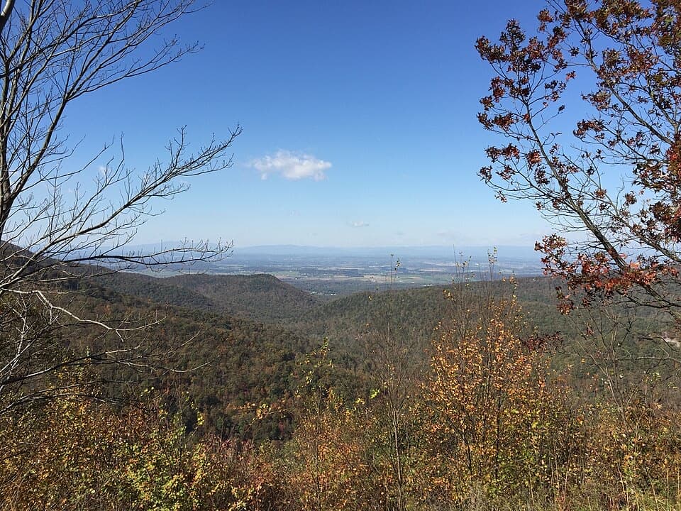 Scenic pullout · 4.5 mi awayHorsehead OverlookA quick Skyline Drive view with a story in the rocks.
Parkwolf’s Shenandoah ranking

The audio tour guide for the drive, plus offline maps, trails, and wildlife heatmaps for when the signal drops.




