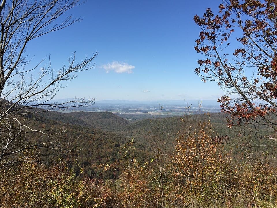
Furnace Mountain, Jones Run & Big Run Loop in Shenandoah National Park

Shenandoah National Park, VA

Furnace Mountain, Jones Run & Big Run Loop

Three waterfalls, a wild valley and a two-night backcountry loop.

Photo: National Park Service
Length
25.4mi
Time
22hr
Elev. change
1,690ft
Difficulty
Challenging
  • Loop
  • Dogs allowed
  • High point 3,048 ft
Parkwolf audio tour146 stories across Shenandoah’s roads

Overview

About Furnace Mountain, Jones Run & Big Run Loop

Why go

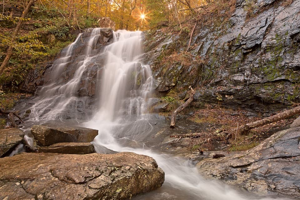
  • Three waterfalls along Jones Run and Doyles River
  • Big Run valley and views from three mountain ridges

Heads up

  • A long, steep trip that requires two nights of backcountry planning
  • High water can make the Portal stream crossings difficult

Map & elevation

The route

Loading the Shenandoah map
Full map
Elevation1,358–3,048 ft
TrailheadMadison Run Boundary Access (Route 663)38.25778, -78.77249
Keep this map with you offline in the Parkwolf app

Plan your hike

Before you go

Parking

Start at Madison Run Boundary on Route 663, near the Route 663/708 junction. Roadside parking is on the stream side and fits about eight cars; keep gates clear. Madison Run Fire Road is closed to public vehicles, so walk in from the boundary.

Safety

A backcountry permit is required for both overnight stays; obtain it through Recreation.gov online or by phone before setting out. A park entrance pass is separate, and you must carry the permit. Big Run Portal has repeated crossings that may reach knee to waist depth when water is high, especially in spring and after heavy rain.

2 active Shenandoah alerts

  • ClosureOld Rag Trailhead main lot closedThe Old Rag Trailhead main parking lot is closed to vehicles and pedestrians for infrastructure improvements; use the existing overflow lots. - Work is expected to be completed by November 2026.Official details
  • ClosureBackcountry camping and zone closuresBackcountry camping is prohibited on the Appalachian Trail from Lewis Mountain to Big Meadows, and the Naked Creek backcountry zone is closed.Official details
Shenandoah alerts
A park ranger sits on a dash-mounted phone, talking, as Parkwolf’s Tour Guide plays “Army Cutworm Moths: A Grizzly Bear Buffet” on Grand Loop Road below Dunraven Pass in Yellowstone
Parkwolf Tour GuideThe highest, rockiest slopes around here are a summer buffet for grizzly bears.

Shenandoah Tour Guide

Your drive to Furnace Mountain, Jones Run & Big Run Loop, narrated.

Parkwolf is a GPS audio tour guide for Shenandoah National Park. As you drive, it chimes in with what’s ahead: hidden gems, upcoming stops, history, geology, and wildlife, right through your car’s speakers.

See the Shenandoah audio tour

More stories near here in the app

  • Jones Run Falls: A Cascade in the Woods
  • Dundo Overlook: A Valley Campaign in the Landscape
  • Blackrock Summit: A Short Walk to the Boulder Field
  • Dundo Picnic Grounds: Lunch at an Old CCC Camp
  • 146 audio storiesacross Shenandoah’s roads, triggered by GPS as you drive
  • Wildlife heatmapsfor Black Bear, Bald Eagle, White-tailed Deer, and 13 more
  • Works offlinemaps, 163 trails, 142 places, and audio download before you lose signal
  • CarPlay readysimple controls built for the drive
★★★★★
“Fantastic app with many points of information… It’s great to just turn on while you’re driving and it gives you an audio tour of the national Park. We love it!!!!”
JMJamesApp Store review
Download Parkwolf on the App StoreGet Parkwolf on Google Play

4.7 from 8,600+ ratings

Trail guide

Hiking Furnace Mountain, Jones Run & Big Run Loop

A three-day commitmentThis is a 25.

This is a 25.4-mile loop from the Madison Run boundary, over Furnace Mountain, down Jones Run and Doyles River, through Big Run, and back on Rockytop and Austin Mountain. Plan three days and two nights, with about 22 hours of hiking in total. The trail sheet's headline mileage ranges from 26.6 to 35.3 miles, but its day-by-day figures do not resolve that range. This mapped base route measures 25.4 miles and leaves out the optional one-mile Furnace summit spur and the optional 8.7-mile Brown Mountain circuit. Campsite placement on Doyles River and Big Run can shift the distance walked on each day. Obtain a backcountry camping permit through Recreation.gov before setting out; a park entrance pass is also required, and you must carry your permit. This is an experienced backpacking route with sustained climbing and repeated stream crossings.

Day one: Furnace to Jones RunStart early at the boundary gate. Follow Madison Run Fire Road for 0.

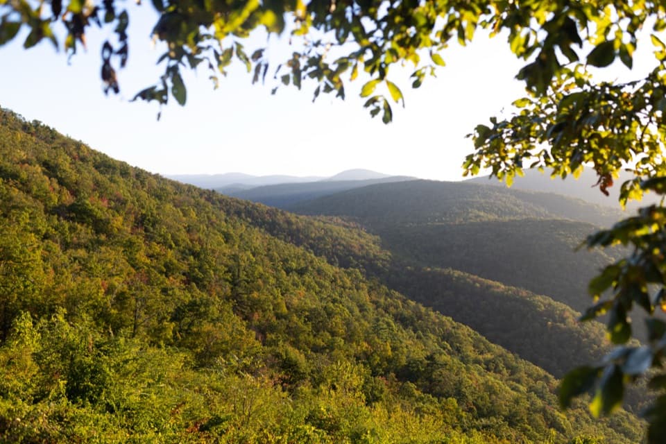
Start early at the boundary gate. Follow Madison Run Fire Road for 0.1 mile, then climb Furnace Mountain Trail for 3.4 miles. At about 1.6 miles, an optional one-mile round-trip spur reaches the Furnace summit and its view; it is not included in the mapped distance. Continue over Trayfoot Trail, the short Blackrock Spur and 1.2 miles north on the Appalachian Trail, then descend Jones Run Trail for 2.5 miles toward the Jones Run–Doyles River confluence. The two river trails together pass three waterfalls. The itinerary places the first night downstream of the confluence; choose a campsite allowed by your permit.

Day two: Doyles River and Big RunFrom the first camp, climb 2.

From the first camp, climb 2.2 miles up Doyles River Trail, then cross Skyline Drive at Big Run Overlook and take Big Run Loop Trail down toward the valley. Continue onto Big Run Portal for the second night. Big Run is the route's long, streamside middle section, with swimming holes and fishing described along the valley. Camp locations on the Portal vary, so your campsite determines how much of that trail falls on the second versus third day.

Water crossingsBig Run Portal has multiple stream crossings that can reach knee to waist depth when water is…

Big Run Portal has multiple stream crossings that can reach knee to waist depth when water is high, especially in spring and after heavy rain. Treat high water as a route-changing condition, not a minor inconvenience. The trip is most demanding where steep trail travel and repeated fords coincide; check current park guidance and choose a different plan if crossings are unsafe.

Rockytop, Austin and the returnContinue along Big Run Portal to Rockytop Trail, then follow Rockytop for 5.

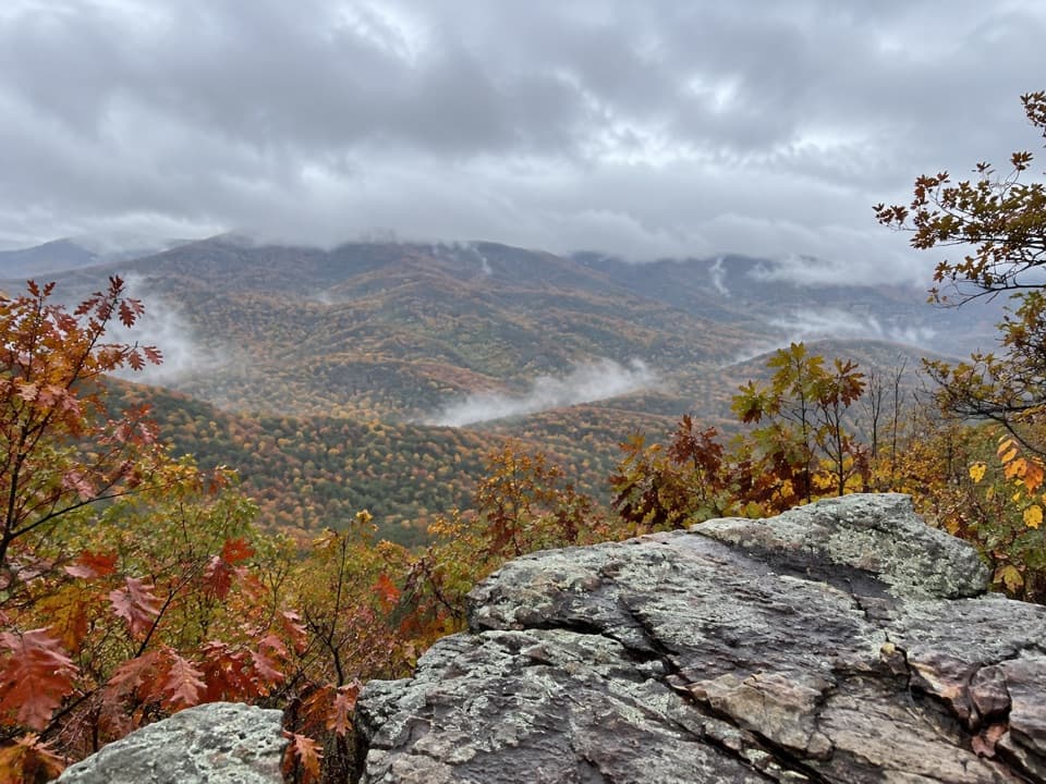
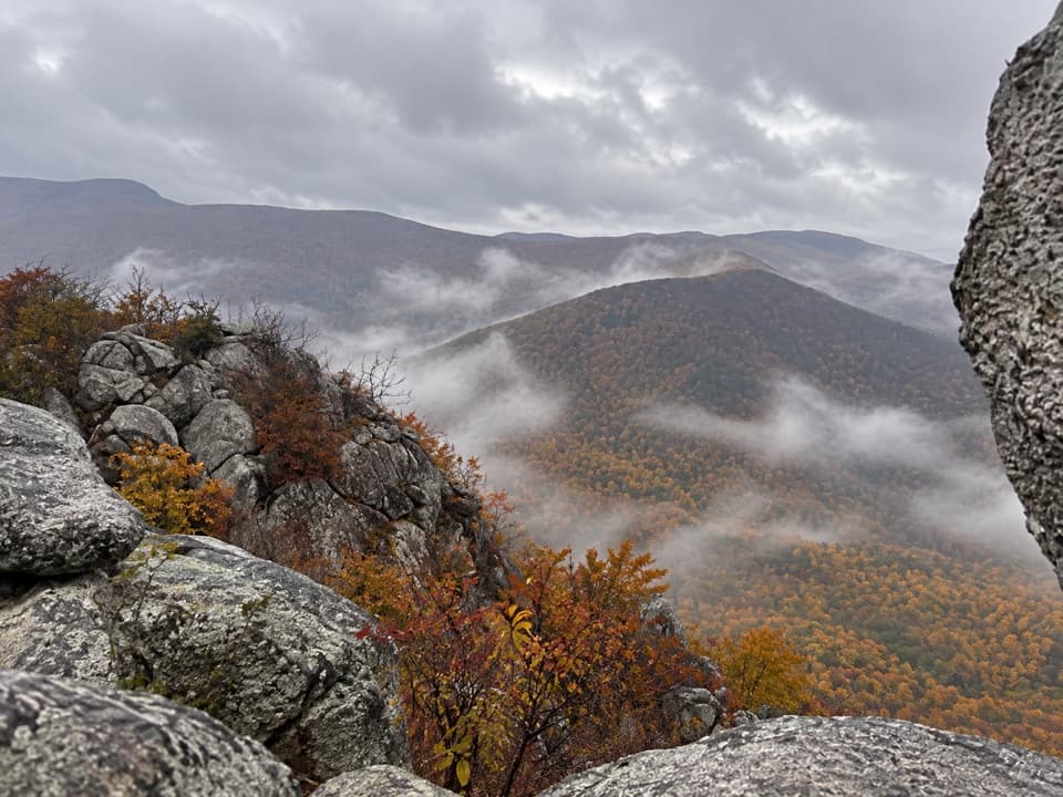
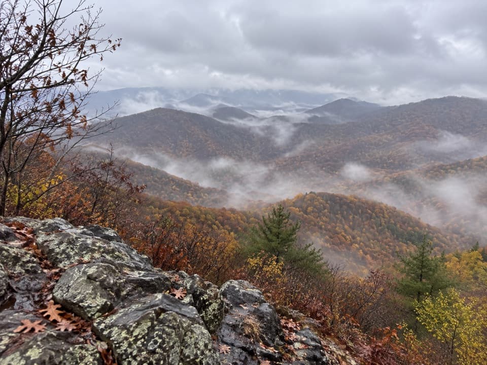
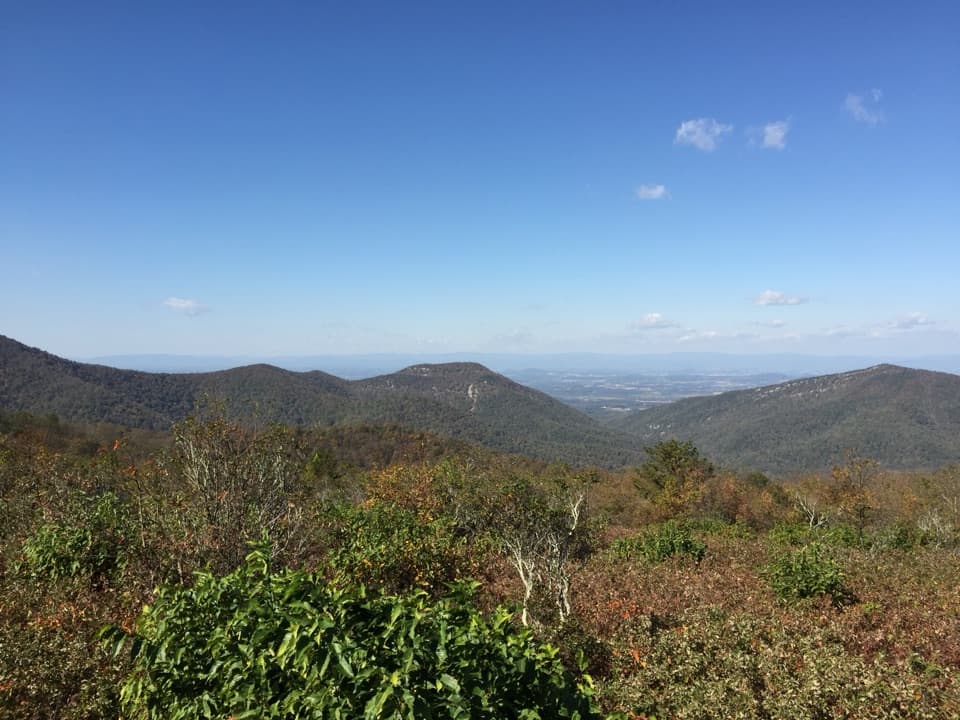
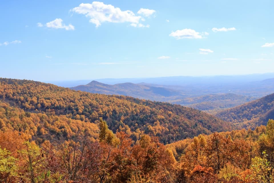
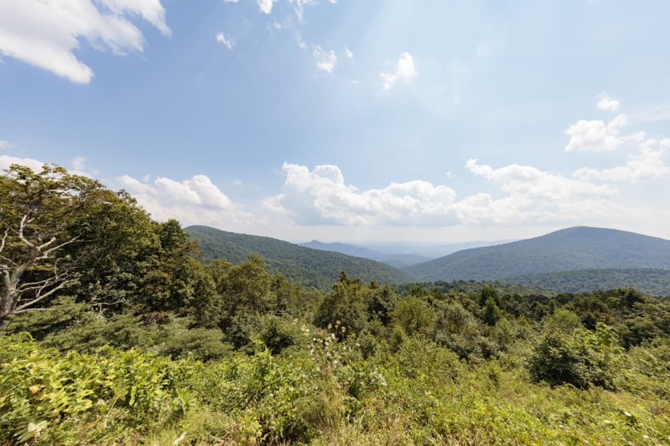
Continue along Big Run Portal to Rockytop Trail, then follow Rockytop for 5.3 miles and Austin Mountain Trail for 3.2 miles. Both ridges open to mountain views; Furnace is the first major view, while Rockytop and Austin give the return day its high-ground payoff. Finish with 0.7 mile on Madison Run Fire Road back to the same boundary gate. Blackrock is also called out as a geologically interesting stretch, though the route information does not identify a particular formation.

Boundary access and dogsThe start is at Madison Run Boundary on Route 663, near the Route 663/708 junction.

The start is at Madison Run Boundary on Route 663, near the Route 663/708 junction. Roadside parking is on the stream side and fits about eight cars; keep gates clear. Madison Run Fire Road is closed to public motor vehicles, so start on foot from the boundary. Dogs may accompany hikers on this route when kept on a physical leash no longer than six feet.

Wildlife

Wildlife in Shenandoah

All Shenandoah wildlife maps

Sighting maps show where each species has been reported across Shenandoah. Wildlife moves, so no sighting is guaranteed.

Keep exploring

Near Furnace Mountain, Jones Run & Big Run Loop

See it all on the map

Trails that start nearby

Places near the trailhead

Parkwolf’s Shenandoah ranking

Top-rated trails in Shenandoah

All 163 trails
  1. 1Old Rag Summit via Berry HollowChallenging · 5.4 mi
  2. 2Hawksbill LoopModerate · 2.9 mi
  3. 3Marys Rock Summit TrailModerate · 3.7 mi
  4. 4Stony Man HikeEasy · 1.6 mi
  5. 5Cedar Run - Whiteoak CircuitChallenging · 8.1 mi
  6. 6Blackrock Summit LoopEasy · 1 mi

Take Parkwolf to Shenandoah.

The audio tour guide for the drive, plus offline maps, trails, and wildlife heatmaps for when the signal drops.

4.7 from 8,600+ ratings

Download Parkwolf on the App StoreGet Parkwolf on Google Play