
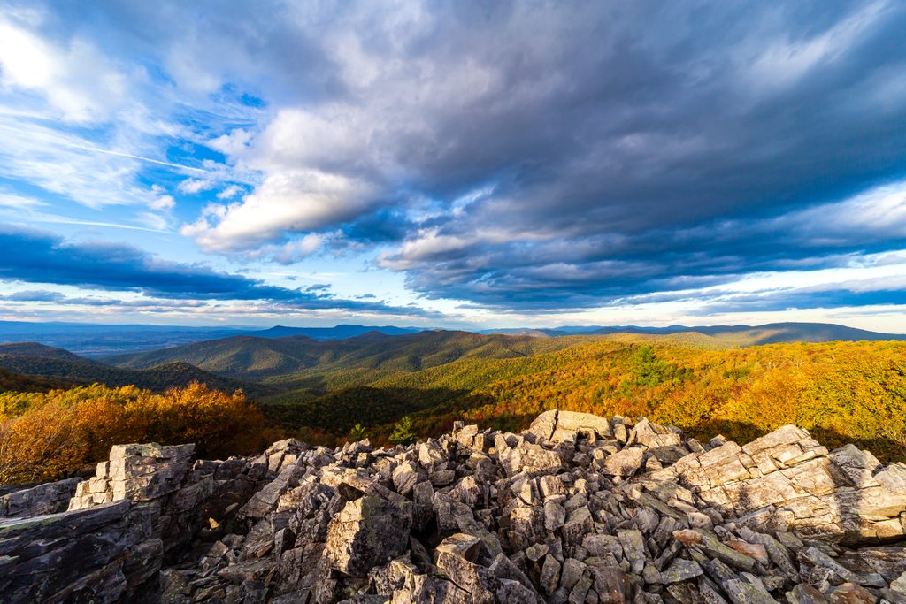
Place · 0.4 mi away
Moderate
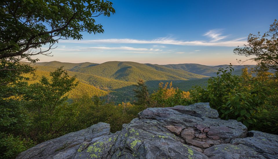
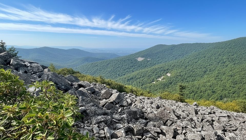
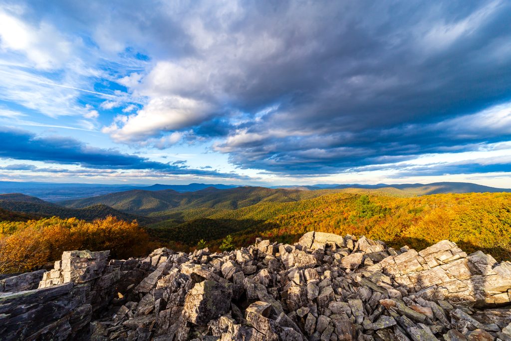
Furnace Mountain serves up classic Blue Ridge vistas without the Skyline Drive crowds. The rocky summit ledge is a sweet, flat perch for a long snack break, with room to roam among other‑worldly boulders. Expect a moderate-to-challenging workout, steady climbing, and a quieter feel than Shenandoah’s headline peaks.
The most common outing is a 4.7‑mile total out-and-back from the Madison Run Fire Road gate, with about 1,300 feet of gain. You’ll immediately rock-hop across Madison Run (can be slippery or high after rain), then follow blue blazes on a mostly dirt singletrack that turns rocky as you climb. You’ll pass two talus slopes with sneak peeks before a short, steeper spur to the summit outcrop.
Prefer starting from Skyline Drive? Many hikers come from Blackrock Summit Parking, joining the Appalachian Trail and Trayfoot Mountain Trail to reach the signed Furnace Mountain spur. Expect a busy feel near Blackrock, then real solitude once you head toward Furnace. From that approach, it’s roughly 2.3 miles beyond Blackrock to the junction, then about 0.5 mile one way on the spur to the overlook.
The forested approach opens into boulder-strewn talus clearings and a blocky, photogenic summit. It’s mostly dirt tread with rocky, uneven sections—particularly near the top—so sturdy footwear matters. Trail markings are blue blazes with signed junctions, but pay attention at stream crossings and the summit spur. Cell service is spotty to nonexistent.
Spring and fall are the sweet spot: cooler temps, spring wildflowers, and colorful foliage with better sightlines. Winter can deliver the clearest long-distance views, but expect icy rocks and a frigid creek crossing. Summer is fully doable but hot, humid, and buggy, with thicker leaf cover. For photos, hit early morning or late afternoon; weekdays are reliably quieter.
The mountain’s name nods to 19th‑century iron furnaces in the Shenandoah Valley. Geologically, the summit outcrops and talus fields are classic Blue Ridge granitic and metamorphic rock—exactly what creates those rugged, blocky viewpoints.
If you want big views and interesting geology without shoulder‑to‑shoulder crowds, this is a strong South District pick. It’s a steady climb with just enough spice at the top to keep it fun.
Roadside pull-offs by the Madison Run Fire Road gate on Browns Gap Road (west-side access). Alternative: Blackrock Summit Parking on Skyline Drive if approaching via Blackrock/Trayfoot.
Rock-hop crossing of Madison Run can be slick or underwater after storms. Expect steep, rocky footing on the summit spur and talus slopes. Winter ice and limited cell service are common; summer brings heat, humidity, and bugs.
Place · 0.4 mi away
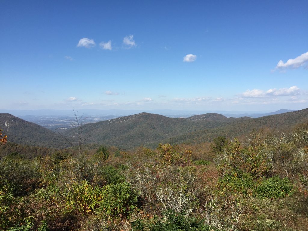
Place · 1 mi away
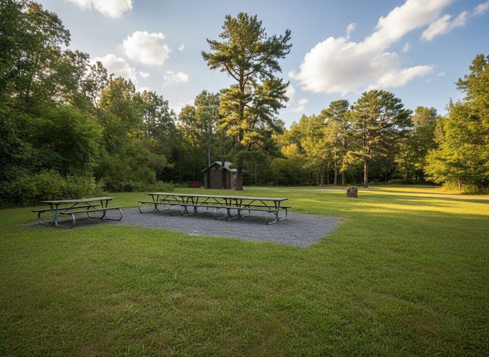
Place · 1.2 mi away
Place · 1.2 mi away
Moderate · 0 mi away
Moderate · 0 mi away
Moderate · 0 mi away
Easy · 0 mi away

Parkwolf Tour Guide
