Parking
Start at Old Rag Parking on Route 600 (Nethers), then walk up to 0.6 mile to Nicholson Hollow Trailhead; retrace the access connector on return.

Shenandoah National Park, VA
Overnight loop from rivers to White Rocks, with a Hazel Falls spur.
Overview
Map & elevation
Plan your hike

The highest, rockiest slopes around here are a summer buffet for grizzly bears.
Shenandoah Tour Guide
Parkwolf is a GPS audio tour guide for Shenandoah National Park. As you drive, it chimes in with what’s ahead: hidden gems, upcoming stops, history, geology, and wildlife, right through your car’s speakers.
See the Shenandoah audio tourRecorded for this area
Old Rag: A Full-Day Scramble“Up ahead is the Old Rag trailhead, the start of a full-day hike to a billion-year-old granite summit with views in every direction.”
Plays on the road 0.4 mi from the trailhead in the Parkwolf Shenandoah Tour Guide.
More stories near here in the app
“Fantastic app with many points of information… It’s great to just turn on while you’re driving and it gives you an audio tour of the national Park. We love it!!!!”


Trail guide
Hannah Run and White Rocks is a 16.5-mile backcountry loop for a one-night trip. Starting at Old Rag Parking, it follows the access connector to Nicholson Hollow, climbs by Hannah Run and Catlett Spur to White Rocks, and returns through Hazel River, Hot-Short Mountain and Nicholson Hollow. The full mileage includes the access walk out and back; the Cave/Falls spur is extra. The itinerary rates this an experienced trip and gives 6.8–7.8 miles for day one and 8.7–9.7 for day two. Plan roughly 10–12 hours of walking over both days, plus camp time; that is a planning estimate, not a published trip time.
Follow Nicholson Hollow for 2 miles, then turn onto Hannah Run for 2.5 miles. The route continues over about 200 feet of Catlett Mountain, then takes Catlett Spur for 1.1 miles and Hazel Mountain for 0.6 mile before reaching White Rocks. This is the main transition from the river valley to the ridge. The itinerary directs overnight hikers to look for an existing campsite within the first mile on White Rocks; those sites are not signed or designated.
White Rocks covers about 2.4 miles from Hazel Mountain. Its rock outcrops and views are reached by side paths, some faint, so do not expect a continuous overlook beside the main tread. The optional Cave/Falls spur is a steep 0.4-mile round trip to Hazel Falls, a cave and a water source. Add that distance separately; it is not part of the 16.5-mile route line.
Hughes and Hazel Rivers are crossed several times. In spring or after heavy rain, either can rise to knee or waist depth. The return follows Hazel River for 1.6 miles, Hazel Mountain for 1.2, Hot-Short Mountain for 2.1, and Nicholson Hollow for 1.8 miles to Route 600, then retraces up to 0.6 mile to parking. Expect the water crossings again on this leg.
Begin at Old Rag Parking on Route 600 (Nethers); the Nicholson Hollow Trailhead is up to 0.6 mile along the access connector, which you walk again at the end. An overnight backcountry permit is required. Dogs are allowed on this route on a leash no longer than 6 feet.
Wildlife
 325 sightingsBlack BearMost seen around 6 AMSighting map
 21 sightingsBald EagleMost seen around 10 AMSighting map
 1,036 sightingsWhite-tailed DeerMost seen around 7 PMSighting map
 167 sightingsWild TurkeyMost seen around 7 AMSighting map
 93 sightingsTimber RattlesnakeMost seen around 6 PMSighting map
 24 sightingsCoyoteMost seen around 6 AMSighting map
Sighting maps show where each species has been reported across Shenandoah. Wildlife moves, so no sighting is guaranteed.
Keep exploring
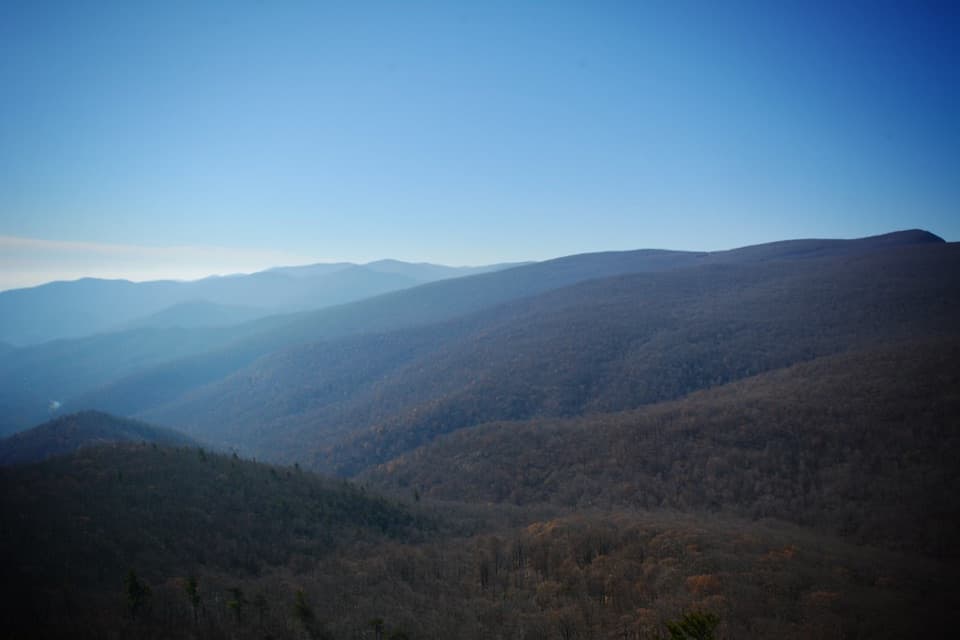 ChallengingRobertson Mountain Loop9.6 mi · 8 hr · 0.4 mi awayA full-day fire-road loop climbs to broad views from Robertson Mountain.
 ModerateNicholson Hollow Hike to Corbin Cabin8 mi · 6.5 hr · 0.5 mi awayAn 8-mile river-valley hike to a surviving homestead cabin.
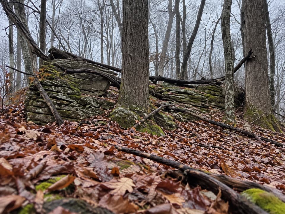 ModerateBroad Hollow - Pine Hill Gap Loop6 mi · 4.5 hr · 1.8 mi awayA shaded forest loop with a cascade and a sunny road return.
 ChallengingOld Rag Summit via Berry Hollow5.4 mi · 6.3 hr · 3.2 mi awayA long summit climb that skips Old Rag’s famous rock scramble.ChallengingRobertson Mountain via Berry Hollow7.3 mi · 7 hr · 3.2 mi awayA steep, wooded summit walk with a view toward Old Rag
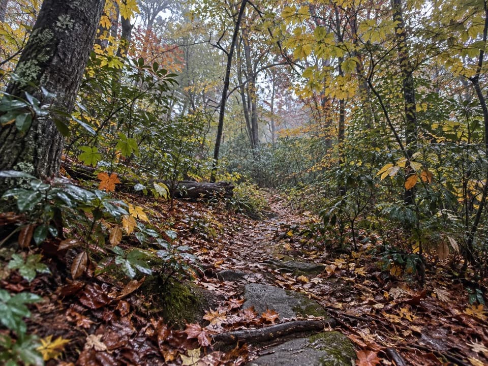 ChallengingSam's Ridge - Catlett Spur Loop8.5 mi · 5.8 hr · 3.4 mi awayA steep ridge climb opens into a wooded lollipop loop.
 ChallengingWhiteoak Canyon - Hawksbill Summit Loop13 mi · 10 hr · 4 mi awayWaterfalls, a high ridge traverse, and Shenandoah's highest summit.
 ModerateLower Whiteoak Falls Trail2.8 mi · 2.3 hr · 4 mi awayRocky creek crossings lead to the base of Lower Whiteoak Falls.
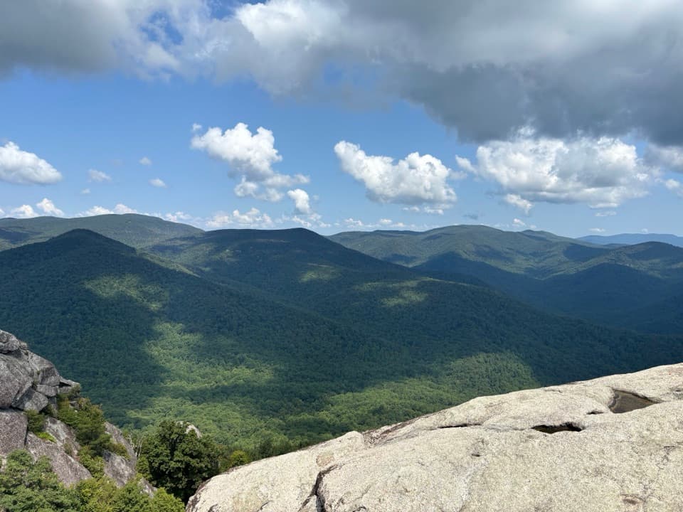 Sight · 2 mi awayOld Rag MountainA full-day hike to a 1.06-billion-year-old granite summit.Sight · 3 mi awayRobertson MountainA full-day summit hike with a view across to Old Rag.Sight · 3.7 mi awayLower Whiteoak FallsA rocky creekside hike to the waterfall basin in Whiteoak Canyon.
 Lodging · 3.8 mi awayCorbin CabinA restored farm cabin at the end of a river-valley hike.
 Sight · 4.1 mi awayPinnacles OverlookA roadside view puts Old Rag across Hannah Run.
 Sight · 4.1 mi awayThorofare Mountain OverlookA quick pull-off for Old Rag and the layered eastern ridges.
 Sight · 4.2 mi awayUpper Whiteoak FallsA waterfall walk through a bouldery canyon to a rocky viewing ledge.
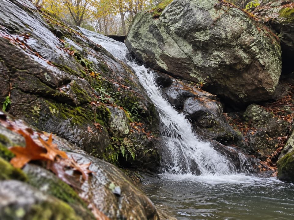 Sight · 4.4 mi awayHazel River FallsTwo small falls tucked beneath boulders, reached by a long hike.
Parkwolf’s Shenandoah ranking

The audio tour guide for the drive, plus offline maps, trails, and wildlife heatmaps for when the signal drops.



