Parking
Roadside on Woodward Road/VA 600 opposite the gated Hungry Horse Lane entrance. The access sheet lists space for only 1–2 vehicles outside the gate; there is no developed trailhead lot.
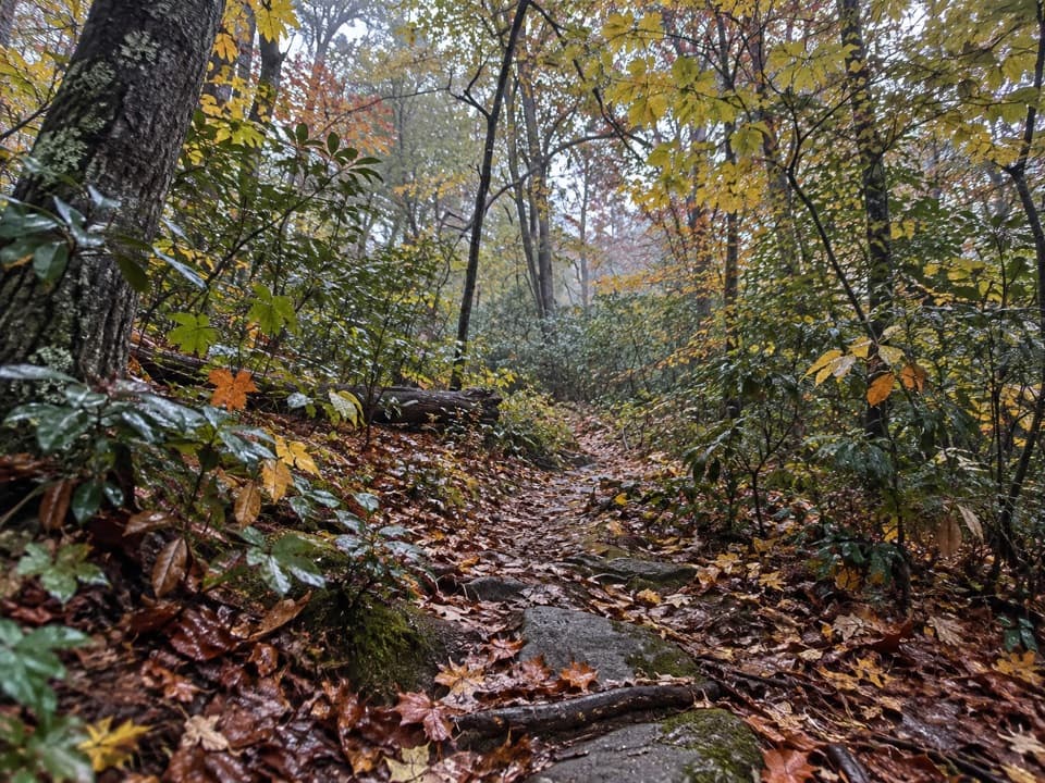
Shenandoah National Park, VA
A steep ridge climb opens into a wooded lollipop loop.
Overview
Map & elevation
Plan your hike

The highest, rockiest slopes around here are a summer buffet for grizzly bears.
Shenandoah Tour Guide
Parkwolf is a GPS audio tour guide for Shenandoah National Park. As you drive, it chimes in with what’s ahead: hidden gems, upcoming stops, history, geology, and wildlife, right through your car’s speakers.
See the Shenandoah audio tourMore stories near here in the app
“Fantastic app with many points of information… It’s great to just turn on while you’re driving and it gives you an audio tour of the national Park. We love it!!!!”


Trail guide
This 8.5-mile lollipop loop starts on Woodward Road/VA 600, walks a 0.3-mile lane and a short Hazel River segment, climbs Sam’s Ridge, then circles Broad Hollow, Hazel Mountain, Catlett Spur and Catlett Mountain before retracing the ridge. Allow about 5½–6 hours. Most of the route is wooded, with streams and a limestone sinkhole rather than a named panoramic summit. The stored GPS line measures 8.46 miles; published totals for this named loop range from 8.2 to 9.4 miles, so use the mapped line as the distance basis.
Sam’s Ridge climbs steeply with little switchback relief, then eases near a saddle. Broad Hollow links it to Hazel Mountain, which descends through forest past small streams. Catlett Spur climbs again and steepens before Catlett Mountain drops through a hollow. Hazel Mountain and Broad Hollow return you to Sam’s Ridge for the steep descent.
Mountain laurel patches along Sam’s Ridge bloom around early June. On Catlett Mountain, a sinkhole marks a collapse in porous limestone. Expect woodland tread more than a panoramic payoff; the sinkhole is the loop’s most distinctive mapped landmark.
The walk-in begins opposite Hungry Horse Lane. Follow the gated lane 0.3 mile to Hazel River Trail; this access crosses private property and is for pedestrians, so do not drive up the lane. Parking is on the roadside outside the gate, with space for only 1–2 vehicles. No toilet or potable water is identified at this access. Pets are allowed on park trails on a physical leash no longer than six feet.
Wildlife
 325 sightingsBlack BearMost seen around 6 AMSighting map
 21 sightingsBald EagleMost seen around 10 AMSighting map
 1,036 sightingsWhite-tailed DeerMost seen around 7 PMSighting map
 167 sightingsWild TurkeyMost seen around 7 AMSighting map
 93 sightingsTimber RattlesnakeMost seen around 6 PMSighting map
 24 sightingsCoyoteMost seen around 6 AMSighting map
Sighting maps show where each species has been reported across Shenandoah. Wildlife moves, so no sighting is guaranteed.
Keep exploring
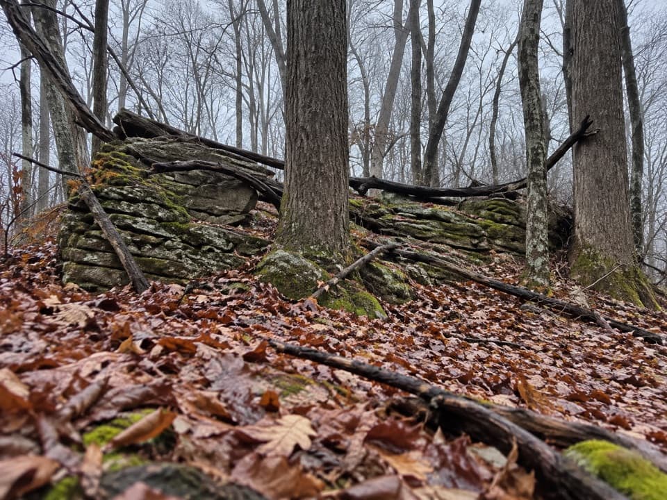 ModerateBroad Hollow - Pine Hill Gap Loop6 mi · 4.5 hr · 1.6 mi awayA shaded forest loop with a cascade and a sunny road return.
 ChallengingHannah Run and White Rocks Loop16.5 mi · 11 hr · 3.4 mi awayOvernight loop from rivers to White Rocks, with a Hazel Falls spur.
 ModerateMarys Rock from Meadow Spring2.9 mi · 3 hr · 3.5 mi awayA shorter south-side climb to Marys Rock's westward valley view.
 ModerateHazel River Falls Hike5.3 mi · 5 hr · 3.5 mi awayA 5.3-mile round trip to a shaded cave and two small falls.
 ChallengingBuck Hollow and Buck Ridge Loop5.9 mi · 3.5 hr · 3.5 mi awayA streamside descent, 600 steps, and a hard climb back up.
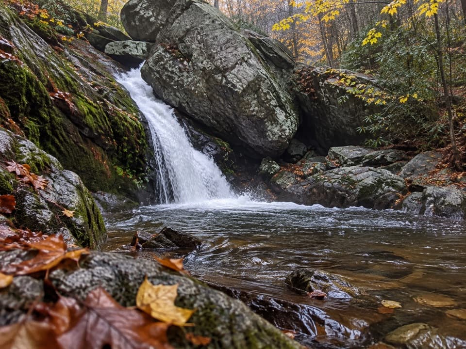 ChallengingHazel River - White Rocks Loop8.5 mi · 6 hr · 3.5 mi awayLong loop, short spur to a cave and two falls.
 ModerateHazel Mountain–Catlett Mountain Loop7.8 mi · 5 hr · 3.5 mi awayA wooded backcountry loop with old walls and stream crossings.
 ChallengingNicholson and Hazel Wilderness Circuit25.2 mi · 20 hr · 3.5 mi awayFour days of river valleys, cabin history, and backcountry miles.
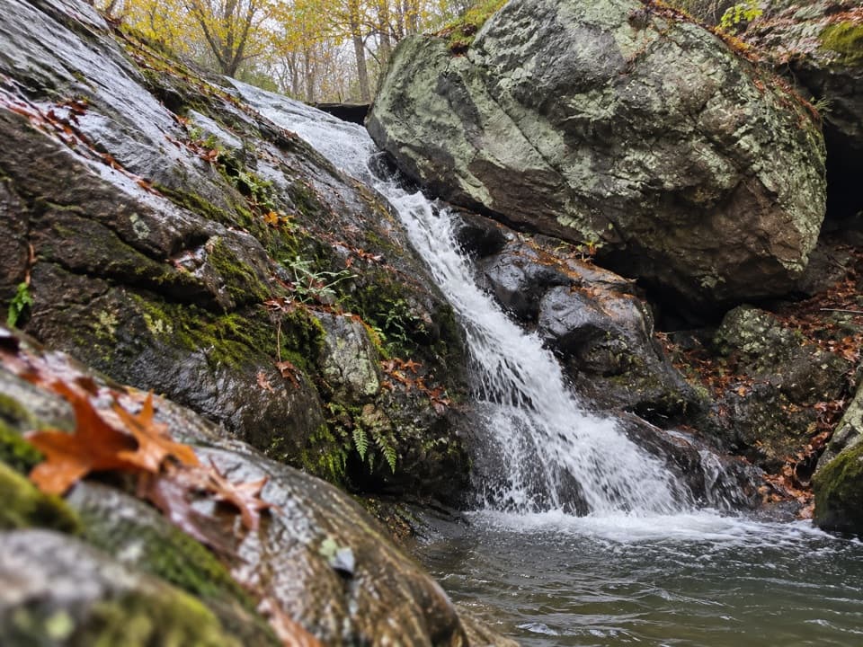 Sight · 2.2 mi awayHazel River FallsTwo small falls tucked beneath boulders, reached by a long hike.
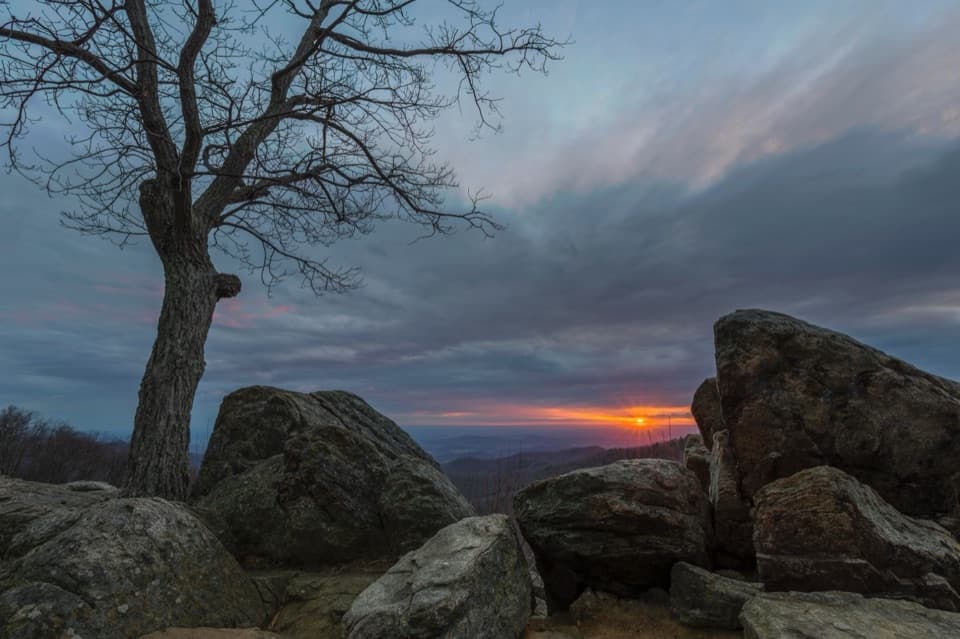 Sight · 3.5 mi awayHazel Mountain OverlookA tree-topped rock anchors this layered Blue Ridge view.
 Scenic pullout · 3.5 mi awayBuck Hollow OverlookA sunrise stop above layered ridges and Sperryville.
 Sight · 3.6 mi awayPinnacles OverlookA roadside view puts Old Rag across Hannah Run.
 Sight · 3.9 mi awayTunnel Parking OverlookA quick east-facing view beside Skyline Drive's only tunnel.
 Sight · 4.1 mi awayMarys Rock TunnelCheck the 12-foot-8 ceiling before this 1932 drive-through.
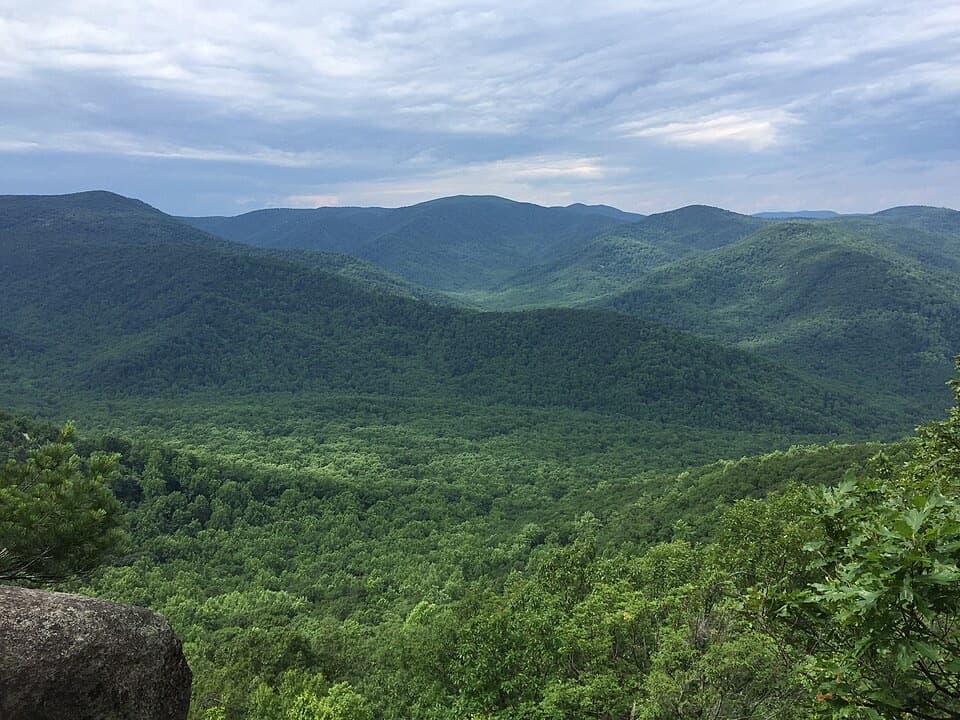 Sight · 4.1 mi awayThe PinnacleA short AT climb opens onto views across Shenandoah Valley.
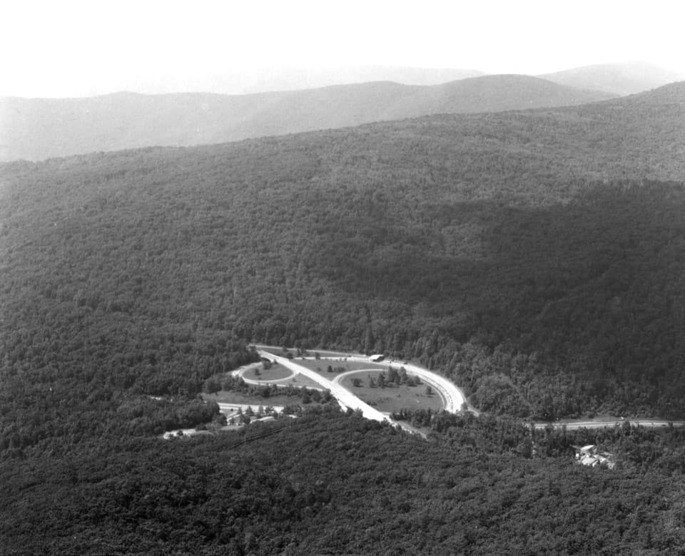 Sight · 4.1 mi awayMarys RockA boulder summit rewards the hike with a sweeping valley-and-ridge view.
Parkwolf’s Shenandoah ranking

The audio tour guide for the drive, plus offline maps, trails, and wildlife heatmaps for when the signal drops.





