Parking
Use the Milam Gap parking area on Skyline Drive; the southbound Appalachian Trail starts across the road at the gap.

Shenandoah National Park, VA
A gentle Appalachian Trail climb to a rocky western view from Hazeltop.
Overview
Map & elevation
Plan your hike

The highest, rockiest slopes around here are a summer buffet for grizzly bears.
Shenandoah Tour Guide
Parkwolf is a GPS audio tour guide for Shenandoah National Park. As you drive, it chimes in with what’s ahead: hidden gems, upcoming stops, history, geology, and wildlife, right through your car’s speakers.
See the Shenandoah audio tourRecorded for this trailhead
Milam Gap: The Walk to Rapidan Camp“Milam Gap is coming up, where you can hike to Rapidan Camp, Herbert and Lou Henry Hoover's mountain retreat.”
Plays as you drive up to this trailhead in the Parkwolf Shenandoah Tour Guide.
More stories near here in the app
“Fantastic app with many points of information… It’s great to just turn on while you’re driving and it gives you an audio tour of the national Park. We love it!!!!”


Trail guide
Hazeltop Mountain via Milam Gap is a 4.2-mile out-and-back on the Appalachian Trail to a rocky, west-facing viewpoint near the summit. Most of it is a gentle forest climb, with one short grassy spur at the end. If you want a summit view without giving up a whole day, this is a good half-day hike; allow about two to three hours to walk up, find the overlook and return.
From Milam Gap, cross Skyline Drive at the trail crossing and follow the white-blazed AT south. At the concrete marker about a tenth of a mile in, stay straight on the AT; the left-hand Mill Prong Trail heads toward Rapidan Camp and makes a different outing. Near Hazeltop, look right for a faint spur through grass to the rocks. It is easy to pass: if the AT starts descending, turn around and check back. Return to Milam Gap the same way.
The tread is mostly smooth dirt and the grade stays gradual. It passes through land that was once an orchard; scattered apple trees remain among the forest trees. Spring brings wildflowers, and the walk gets lush with ferns in summer. For most of the hike you are in the woods, so the summit clearing is the payoff rather than one of many overlooks along the way.
The rocky outcrop opens onto a broad western valley and layered ridges. Hazeltop is Shenandoah's third-highest peak, which makes this short spur feel like a proper summit stop. For a photo, leave a strip of rock in the foreground; it helps show the drop from the ridge and keeps the view from reading as a flat band of distant hills.
Use the Milam Gap parking area on Skyline Drive; the southbound AT starts across the road at the gap. A park entrance fee applies. Dogs are allowed on this stretch of the AT, but they must stay on a physical leash no longer than six feet.
Wildlife
 325 sightingsBlack BearMost seen around 6 AMSighting map
 21 sightingsBald EagleMost seen around 10 AMSighting map
 1,036 sightingsWhite-tailed DeerMost seen around 7 PMSighting map
 167 sightingsWild TurkeyMost seen around 7 AMSighting map
 93 sightingsTimber RattlesnakeMost seen around 6 PMSighting map
 24 sightingsCoyoteMost seen around 6 AMSighting map
Sighting maps show where each species has been reported across Shenandoah. Wildlife moves, so no sighting is guaranteed.
Keep exploring
 ModerateRapidan Camp via Mill Prong4 mi · 2.8 hr · At the trailheadThree stream crossings lead to Hoover’s historic mountain retreat.
 ModerateMill Prong - Laurel Prong Loop7.4 mi · 7.5 hr · At the trailheadA 7.4-mile loop to Hoover’s Rapidan Camp with three stream crossings.
 EasyAppalachian Trail - Tanners Ridge Road2.1 mi · 1.5 hr · At the trailheadAn easy A.T. walk to old farm traces and a family cemetery.ChallengingRapidan, Fork Mountain & Rose River Circuit22.9 mi · 16 hr · 1.1 mi awayAn overnight circuit through Hoover’s historic Rapidan Camp.
 EasyStory of the Forest Trail1.8 mi · 1.5 hr · 1.3 mi awayAn easy woods loop past a stream and air-quality station.
 ModerateDark Hollow Falls1.4 mi · 1.5 hr · 1.6 mi awayA shady creek descent, a waterfall, and a steep climb back.
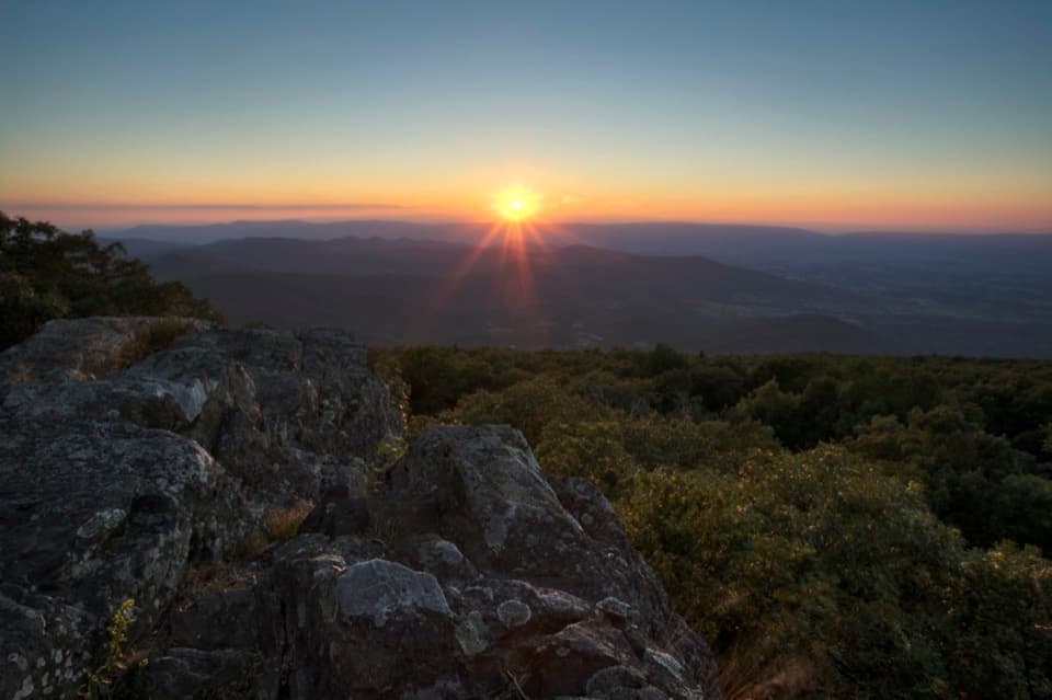 EasyBlackrock at Big Meadows0.2 mi · 15 min · 1.9 mi awayA quick climb to a broad Massanutten view.
 ModerateLewis Falls Trail2.8 mi · 4 hr · 2.1 mi awayAn 81-foot waterfall and ridge views reward this rocky loop.
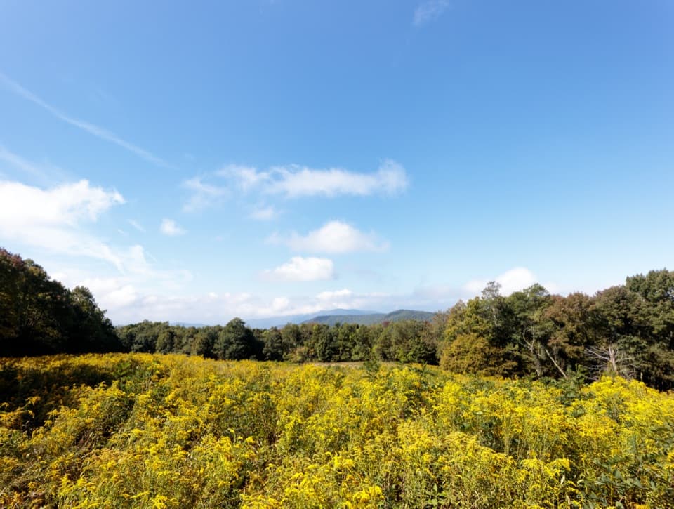 Scenic pullout · 0.5 mi awayNaked Creek OverlookA west-facing sunset stop over wooded ridges and Elkton.
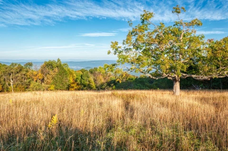 Scenic pullout · 1.1 mi awayTanners Ridge OverlookLook across the field toward Stanley and the Shenandoah Valley.
 Sight · 1.2 mi awayBig MeadowsAn open break from the forest, rich in wildlife and rare wetlands.
 Food · 1.3 mi awayBig Meadows WaysideA practical food and supply stop on the park's central stretch.
 Visitor center · 1.3 mi awayHarry F. Byrd Sr. Visitor CenterSee how the park was made before you head out exploring.
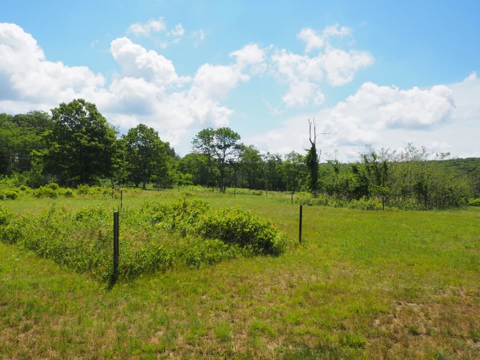 Sight · 1.4 mi awayBig Meadows CCC CampA short walk through Big Meadows' CCC camp footprint.Sight · 1.4 mi awayLewis FallsA steep, rocky loop to an 81-foot waterfall.Sight · 1.5 mi awayRapidan CampA creekside Hoover retreat with history worth the uphill return.
Parkwolf’s Shenandoah ranking

The audio tour guide for the drive, plus offline maps, trails, and wildlife heatmaps for when the signal drops.





