Liṟu Walk in Uluru-Kata Tjuta National Park

Uluru-Kata Tjuta National Park, NT

Liṟu Walk

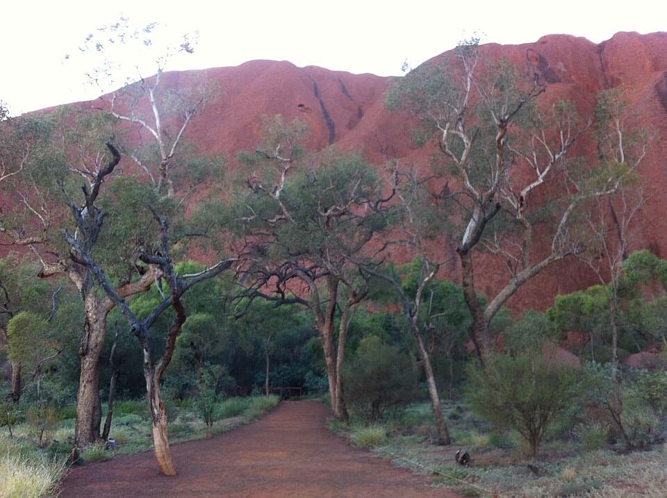
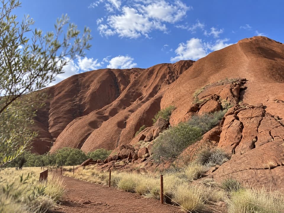
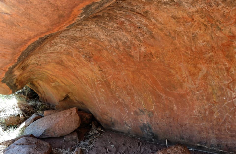
A sandy clearing opens to a sheltered view of Uluṟu.

Length
4km
Time
1.5hr
Elevation
Flat
Difficulty
Easy
  • No dogs
  • High point 523 m

Hear the audio tour

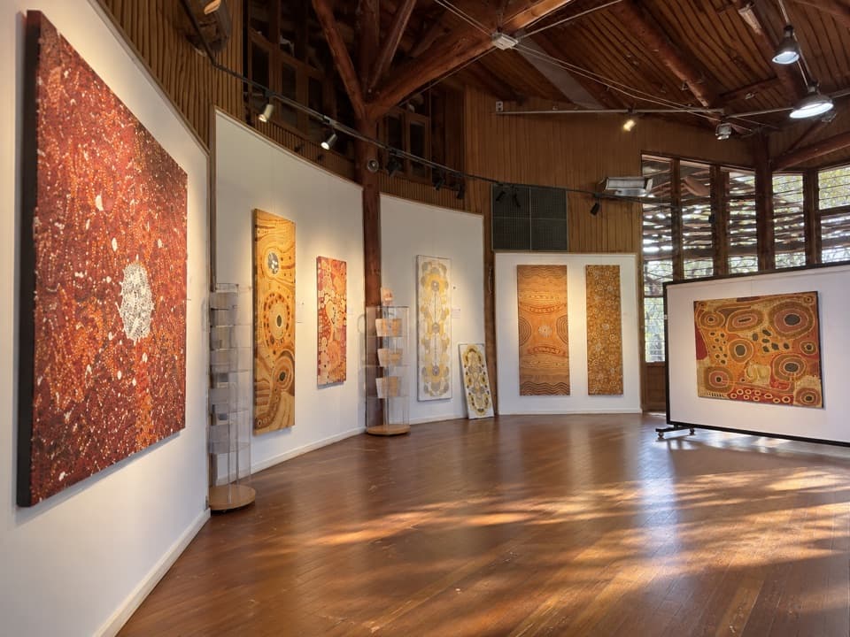
Cultural Centre: Stories, Art and a Café

Overview

About Liṟu Walk

Why go

  • Shelter and open Uluṟu view a few hundred metres in.
  • Useful on-foot link from the Cultural Centre to the base-walk area.

Heads up

  • Out-and-back, so you retrace the same track.
  • Shared with cyclists.

Map & elevation

The route

Loading the Uluru-Kata Tjuta map
Full map
Elevation520–523 m
TrailheadUluṟu-Kata Tjuṯa Cultural Centre-25.36010, 131.01738
Keep this map with you offline in the Parkwolf app

Plan your hike

Before you go

Parking

Start at the Uluṟu-Kata Tjuṯa Cultural Centre car park and follow the Liru Walk toward the base-walk area. The centre has toilets and drinking water; Ininti Café is inside the centre, separate from the track. A park pass is required for entry.

Safety

In warmer weather, walk in the morning; heat exhaustion and dehydration are risks even on mild days. The track is shared with cyclists. Domestic pets are prohibited; guide, hearing and other assistance dogs are permitted with documentation and a leash no longer than three metres.

A park ranger sits on a dash-mounted phone, talking, as Parkwolf’s Tour Guide plays “Army Cutworm Moths: A Grizzly Bear Buffet” on Grand Loop Road below Dunraven Pass in Yellowstone
Parkwolf Tour GuideThe highest, rockiest slopes around here are a summer buffet for grizzly bears.

Uluru-Kata Tjuta Tour Guide

Your drive to Liṟu Walk, narrated.

Parkwolf is a GPS audio tour guide for Uluru-Kata Tjuta National Park. As you drive, it chimes in with what’s ahead: hidden gems, upcoming stops, history, geology, and wildlife, right through your car’s speakers.

See the Uluru-Kata Tjuta audio tour

Recorded for this trailhead

Cultural Centre: Stories, Art and a Café
0:00 / 0:42
“You're coming up on the Cultural Centre, with exhibits, community-owned galleries and a café in one stop.”

Plays as you drive up to this trailhead in the Parkwolf Uluru-Kata Tjuta Tour Guide.

More stories near here in the app

  • A Finch Nest Built by Two
  • Uluṟu: Mala Walk and Kaṉtju Gorge
  • Kuniya Walk: Muṯitjulu Waterhole
  • Paint from the Country
  • 40 audio storiesacross Uluru-Kata Tjuta’s roads, triggered by GPS as you drive
  • Wildlife heatmapsfor Dromedary Camel, Black-breasted Kite, Brown Falcon, and 13 more
  • Works offlinemaps, 15 trails, 28 places, and audio download before you lose signal
  • CarPlay readysimple controls built for the drive
★★★★★
“Fantastic app with many points of information… It’s great to just turn on while you’re driving and it gives you an audio tour of the national Park. We love it!!!!”
JMJamesApp Store review
Download Parkwolf on the App StoreGet Parkwolf on Google Play

4.7 from 8,600+ ratings

Trail guide

Hiking Liṟu Walk

A short walk to the baseLiṟu Walk is a 4 km out-and-back between the Uluṟu-Kata Tjuṯa Cultural Centre and Uluṟu’s…

Liṟu Walk is a 4 km out-and-back between the Uluṟu-Kata Tjuṯa Cultural Centre and Uluṟu’s base-walk area. You follow the same track back; allow about 1½ hours. It’s graded easy to moderate, and makes a useful link if you want to leave the Cultural Centre on foot. There’s also a good reason to take it as a short walk: its sandy clearing and shelter face Uluṟu, and the view arrives early.

Through mulga to the viewThe track winds through mulga woodland.

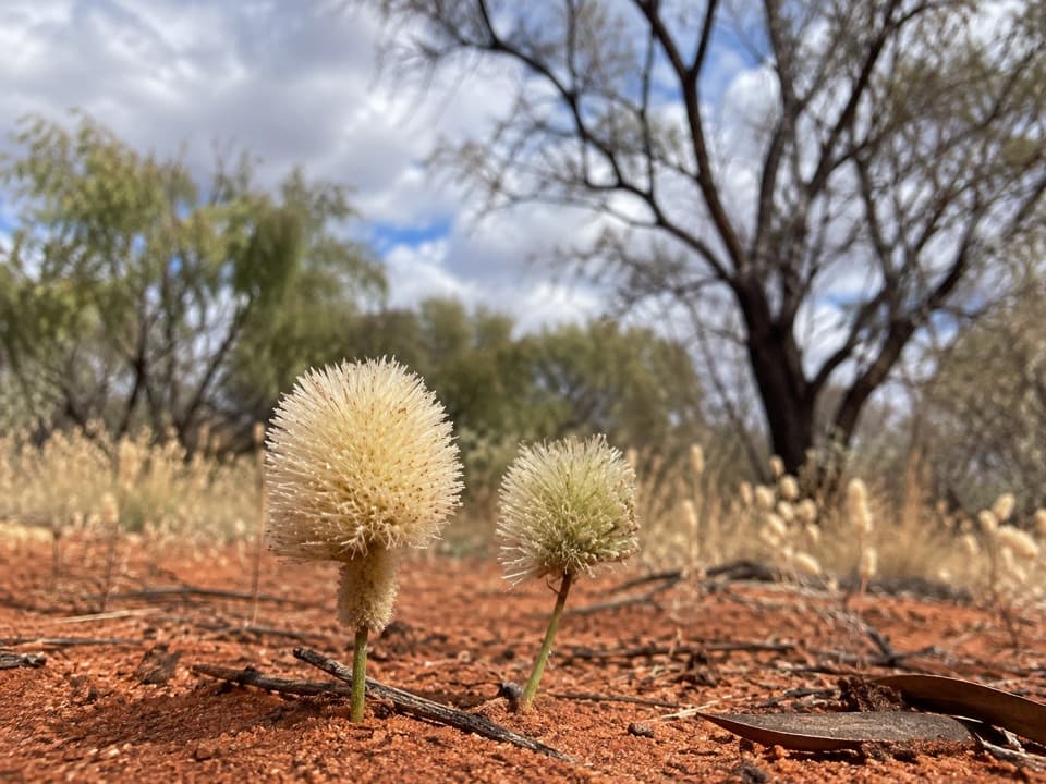
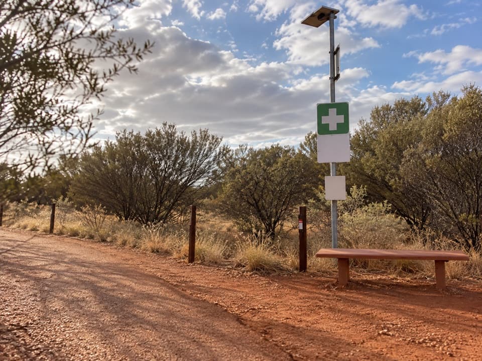
The track winds through mulga woodland. A few hundred metres from the start, it reaches a sandy clearing with a large shelter and an uninterrupted view of Uluṟu. After rain, the mulga can put on colourful flowers. Include the shelter or the red clearing in a photo of the rock so the picture shows where the view is from. If you continue, the route reaches the base-walk area; then you turn around and return the same way. The path is used more by cyclists than walkers, so keep an eye out for bikes.

Start at the Cultural CentreBegin at the Uluṟu-Kata Tjuṯa Cultural Centre, where there’s a car park, toilets and drinking…

Begin at the Uluṟu-Kata Tjuṯa Cultural Centre, where there’s a car park, toilets and drinking water. Ininti Café is inside the centre, a separate stop for food and drinks before or after the walk. You need a park pass to enter. In warmer weather, go in the morning: heat exhaustion and dehydration are risks even on mild days. Domestic pets aren’t permitted; guide, hearing and other assistance dogs are allowed with documentation and a leash no longer than three metres.

Wildlife

Wildlife in Uluru-Kata Tjuta

All Uluru-Kata Tjuta wildlife maps

Sighting maps show where each species has been reported across Uluru-Kata Tjuta. Wildlife moves, so no sighting is guaranteed.

Keep exploring

Near Liṟu Walk

See it all on the map

Trails that start nearby

Places near the trailhead

Parkwolf’s Uluru-Kata Tjuta ranking

Top-rated trails in Uluru-Kata Tjuta

All 15 trails
  1. 1Uluṟu Base WalkModerate · 10.6 km
  2. 2Valley of the Winds Full CircuitChallenging · 7.4 km
  3. 3Mala WalkEasy · 2 km
  4. 4Kuniya Walk & Muṯitjulu WaterholeEasy · 1 km
  5. 5Waḻpa Gorge WalkModerate · 2.6 km
  6. 6Karingaṉa Lookout WalkChallenging · 5.4 km

Take Parkwolf to Uluru-Kata Tjuta.

The audio tour guide for the drive, plus offline maps, trails, and wildlife heatmaps for when the signal drops.

4.7 from 8,600+ ratings

Download Parkwolf on the App StoreGet Parkwolf on Google Play