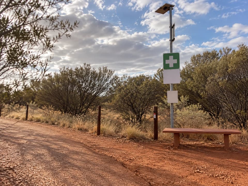
Parking
Start and finish at Mala Car Park beside the ring road. A park pass is required for entry.

#8 of 15 trails in Uluru-Kata Tjuta
Uluru-Kata Tjuta National Park, NT
A close 4 km return walk beneath Uluṟu’s weathered caves
Overview
Map & elevation
Plan your hike

The highest, rockiest slopes around here are a summer buffet for grizzly bears.
Uluru-Kata Tjuta Tour Guide
Parkwolf is a GPS audio tour guide for Uluru-Kata Tjuta National Park. As you drive, it chimes in with what’s ahead: hidden gems, upcoming stops, history, geology, and wildlife, right through your car’s speakers.
See the Uluru-Kata Tjuta audio tourRecorded for this trailhead
Uluṟu: Mala Walk and Kaṉtju Gorge“You're approaching Mala carpark at the base of Uluṟu. For a close look without spending the whole morning walking, I'd choose the Mala Walk to Kaṉtju Gorge: two kilometres return, allowing about ninety minutes.”
Plays as you drive up to this trailhead in the Parkwolf Uluru-Kata Tjuta Tour Guide.
More stories near here in the app
“Fantastic app with many points of information… It’s great to just turn on while you’re driving and it gives you an audio tour of the national Park. We love it!!!!”


Trail guide
Lungkaṯa Walk is the official 4 km return route along Uluṟu’s western and southern base, linking Mala Car Park with the Kuniya Walk connection. The mapped corridor is about 2.1 km one way, so the 4 km return figure is rounded and you walk the same path back. Allow about 1 hour 30 minutes; it’s graded 3 (moderate). Choose it for a close look at Uluṟu’s rock face without taking on the full base circuit.
The track stays close to Uluṟu. In places, the rock face slants down toward the path, with elevated caves and crevices shaped by wind and water over millennia. This is an unpaved path, not a climb to one summit or one lookout; the interest is the changing face of the rock as you walk around its western and southern sides.
Near the Mala end, small birds nest high in the caves above the track. Binoculars or a long lens help you see them. The area is home to thousands of birds, so keep an ear out as well as looking up.
The walk shares the story of Lungkaṯa, the cheeky blue-tongue lizard man. Tjukurpa teaches not to steal from others through his story, which also explains the danger of climbing Uluṟu. Paṉpaṉpalala are ancestral birds in the story; their name echoes their call, so listen for their song.
Begin and finish at Mala Car Park; the 4 km figure includes the return along the same route. A park pass is required to enter the national park. Water and toilets are listed for the walk, but their locations aren’t specified. Ordinary pets aren’t permitted; assistance dogs are allowed under park rules.
Wildlife
 32 sightingsDromedary CamelMost seen around 6 PMSighting map
 14 sightingsBlack-breasted KiteMost seen around 10 AMSighting map
 27 sightingsBrown FalconMost seen around 7 AMSighting map
 11 sightingsWestern Brown SnakeMost seen around 9 AMSighting map
 32 sightingsMain's FrogMost seen around 7 PMSighting map
 17 sightingsRed-backed KingfisherMost seen around 7 AMSighting map
Sighting maps show where each species has been reported across Uluru-Kata Tjuta. Wildlife moves, so no sighting is guaranteed.
Keep exploring
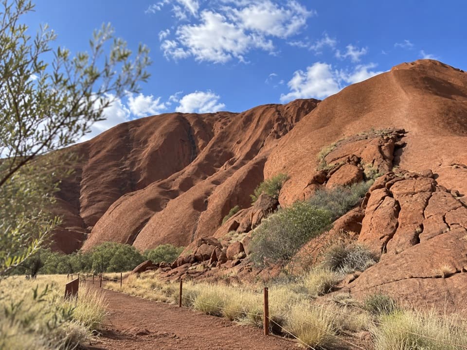 EasyPunu Walk0.6 km · 30 min · At the trailheadA quick plant walk with Uluṟu in view.
 ModerateUluṟu Base Walk10.6 km · 3.5 hr · At the trailheadA full 10.6 km circuit for close and distant views of Uluṟu.
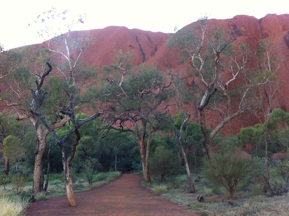 EasyMala Walk2 km · 1.5 hr · At the trailheadA short Uluṟu walk to caves, rock art and Kaṉtju Gorge.
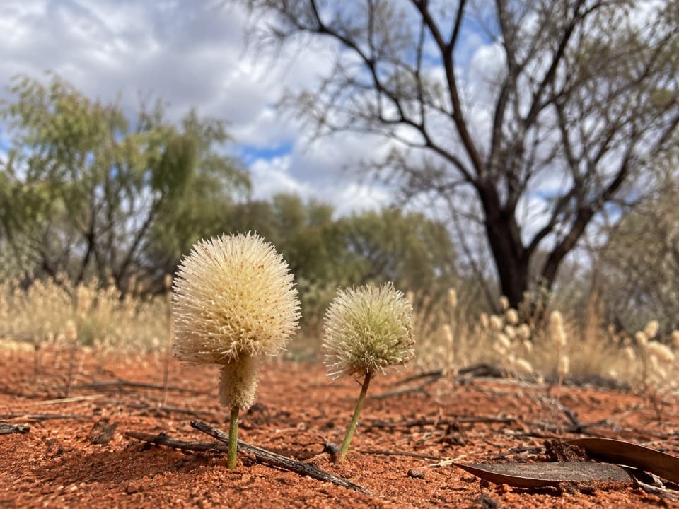 ModerateNorth-east Face Walk4.4 km · 1.8 hr · 0.5 km awayA 4.4 km one-way walk from Kitchen Cave to Kuniya Piti.
 EasyKuniya Walk & Muṯitjulu Waterhole1 km · 38 min · 1.9 km awayA short walk to a shady waterhole beneath Uluṟu’s red walls.
 EasyLiṟu Walk4 km · 1.5 hr · 2 km awayA sandy clearing opens to a sheltered view of Uluṟu.
 EasyUluṟu Dune Walk0.8 km · 45 min · 2.9 km awayA sandy climb to Uluṟu and Kata Tjuṯa in one sweep.
 EasyMinymaku Walk1 km · 36 min · 5.1 km awayA short, accessible loop into Aṉangu women’s work and bush foods.
 Sight · At the trailheadUluṟuA sandstone giant with a 10.6-kilometre walk at its feet.
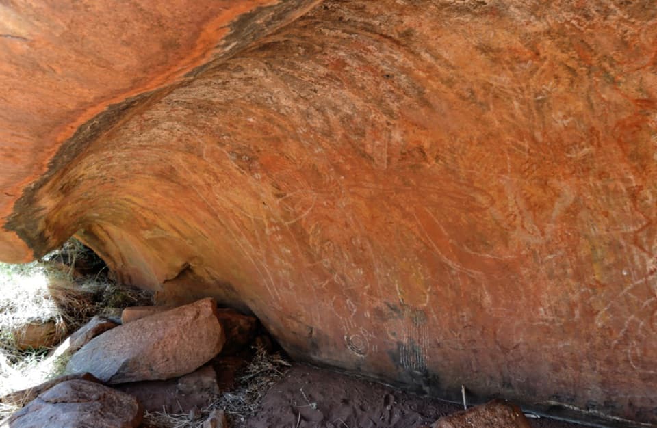 Sight · 0.3 km awayKuḻpi Nyiinkaku (Teaching Cave)A Mala Walk teaching cave shaped by generations of Aṉangu learning.
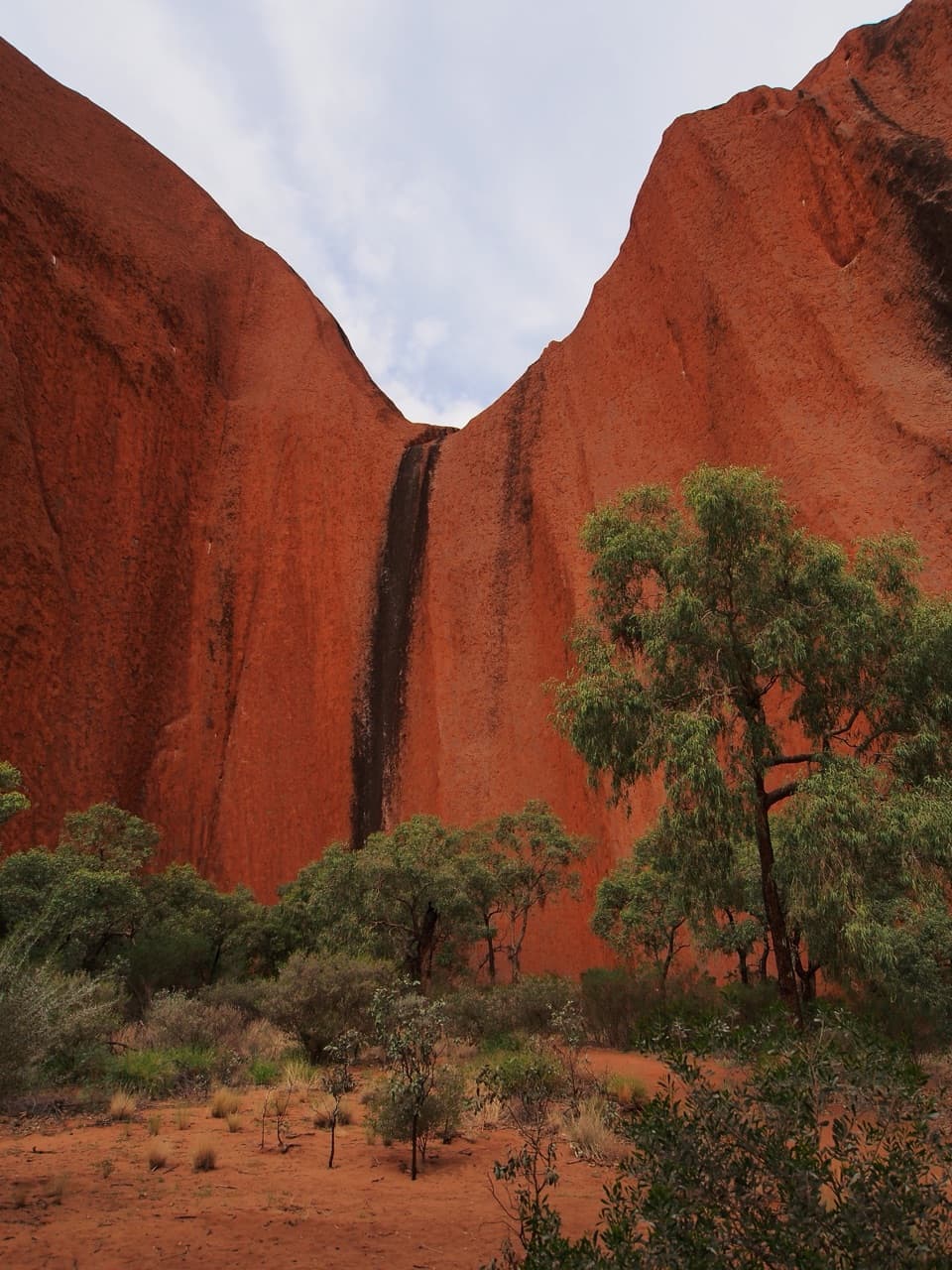 Sight · 0.8 km awayKaṉtju GorgeA waterhole framed by Uluṟu’s sheer gorge walls.
 Sight · 1.5 km awayMuṯitjulu WaterholeAfter rain, a waterfall spills into this shaded pool.
 Sight · 1.6 km awayKuḻpi MuṯitjuluAn Anangu family cave where rock art carries generations of knowledge.
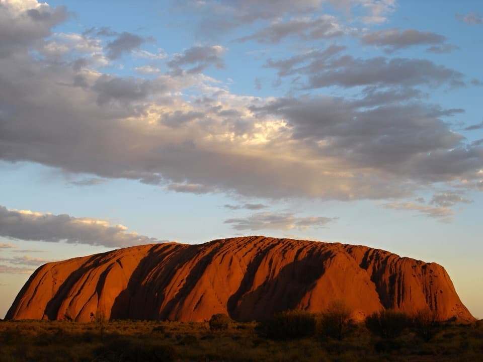 Sight · 1.8 km awayUluṟu Car Sunset Viewing AreaWatch Uluṟu shift from pink to deep red in the sunset.
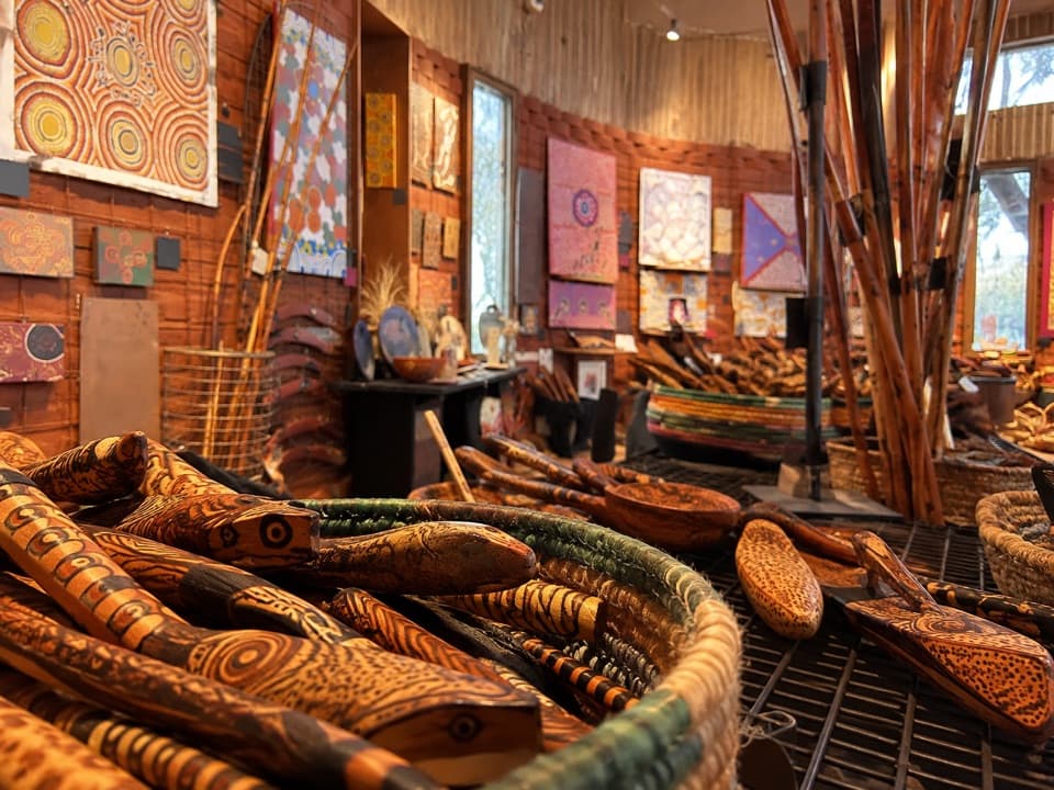 Sight · 1.9 km awayMaṟuku Arts GalleryBrowse art from twenty-plus desert communities.
 Food · 1.9 km awayIninti Café & SouvenirsCoffee and pies, with a view of Uluṟu from the upstairs lounge.
Parkwolf’s Uluru-Kata Tjuta ranking

The audio tour guide for the drive, plus offline maps, trails, and wildlife heatmaps for when the signal drops.