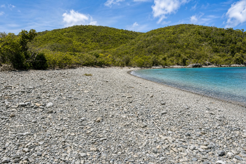
Great Lameshur Bay Beach in Virgin Islands National Park

Beach · Virgin Islands National Park

Great Lameshur Bay Beach

A rocky snorkel shore before sandy Little Lameshur.

Type
Beach
Nearest trail
0.2 mi
Audio stories
4 nearby
  • Parking

Hear the audio tour

Salt Pond Bay and Ram Head

Overview

About Great Lameshur Bay Beach

Why stop

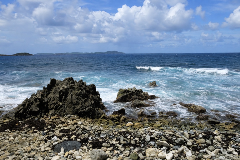
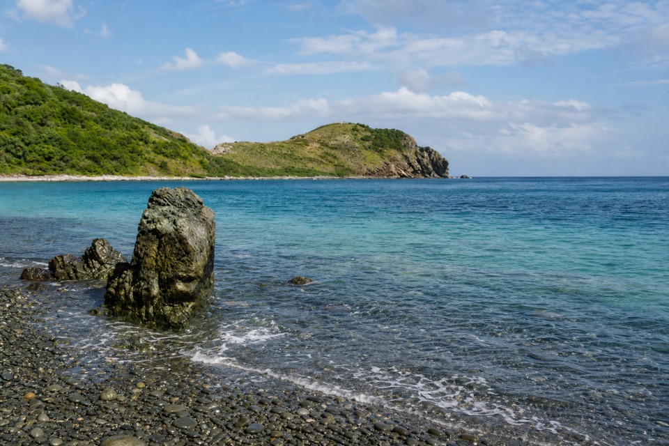
  • A long pebble crescent with coral close to shore.

Heads up

  • The rough access road can rule out many rental cars.

Map

Where it is

Loading the Virgin Islands map
Full map
BeachGreat Lameshur Bay Beach18.31855, -64.72223
Keep this map with you offline in the Parkwolf app

Plan your stop

Before you go

3 active Virgin Islands alerts

  • ClosureCaneel Bay: designated areas only; pier closedAt Caneel Bay, stay in designated public areas; other areas remain closed because of present safety risks, and the pier remains closed because it has been deemed unsafe.Official details
  • CautionModerate rip-current risk at U.S. Virgin Islands beachesThe National Weather Service reports a moderate rip-current risk for the U.S. Virgin Islands. - Choose a guarded or more protected beach and swim near a lifeguard.Official details

See all 3 alerts
A park ranger sits on a dash-mounted phone, talking, as Parkwolf’s Tour Guide plays “Army Cutworm Moths: A Grizzly Bear Buffet” on Grand Loop Road below Dunraven Pass in Yellowstone
Parkwolf Tour GuideThe highest, rockiest slopes around here are a summer buffet for grizzly bears.

Virgin Islands Tour Guide

Your drive to Great Lameshur Bay Beach, narrated.

Parkwolf is a GPS audio tour guide for Virgin Islands National Park. As you drive, it chimes in with what’s ahead: hidden gems, upcoming stops, history, geology, and wildlife, right through your car’s speakers.

Recorded for this area

Salt Pond Bay and Ram Head
0:00 / 0:34
“Salt Pond Bay's parking area is coming up, with a rocky quarter-mile walk down to the beach. The sandy middle gives you a gentle water entry, while the rocky edges are the more interesting snorkeling.”

Plays on the road 1 mi from Great Lameshur Bay Beach in the Parkwolf Virgin Islands Tour Guide.

More stories near here in the app

  • The Fish That Make Sand
  • A Cactus Comes of Age
  • Corals Beneath the Mangroves
  • Reef Bay Trailhead and Petroglyphs
  • 26 audio storiesacross Virgin Islands’s roads, triggered by GPS as you drive
  • Wildlife heatmapsfor White-tailed Deer, Green Iguana, Brown Pelican, and 13 more
  • Works offlinemaps, 22 trails, 42 places, and audio download before you lose signal
  • CarPlay readysimple controls built for the drive
★★★★★
“Fantastic app with many points of information… It’s great to just turn on while you’re driving and it gives you an audio tour of the national Park. We love it!!!!”
JMJamesApp Store review
Download Parkwolf on the App StoreGet Parkwolf on Google Play

4.7 from 8,600+ ratings

Guide

More about Great Lameshur Bay Beach

The rocky first beachGreat Lameshur Bay Beach is a long crescent of stones and pebbles on the north shore of Great…

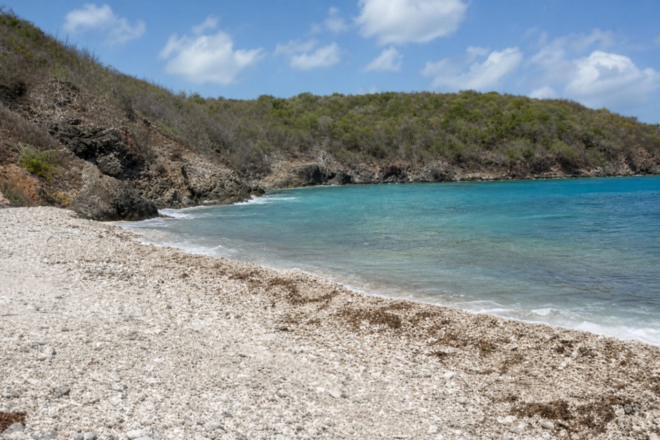
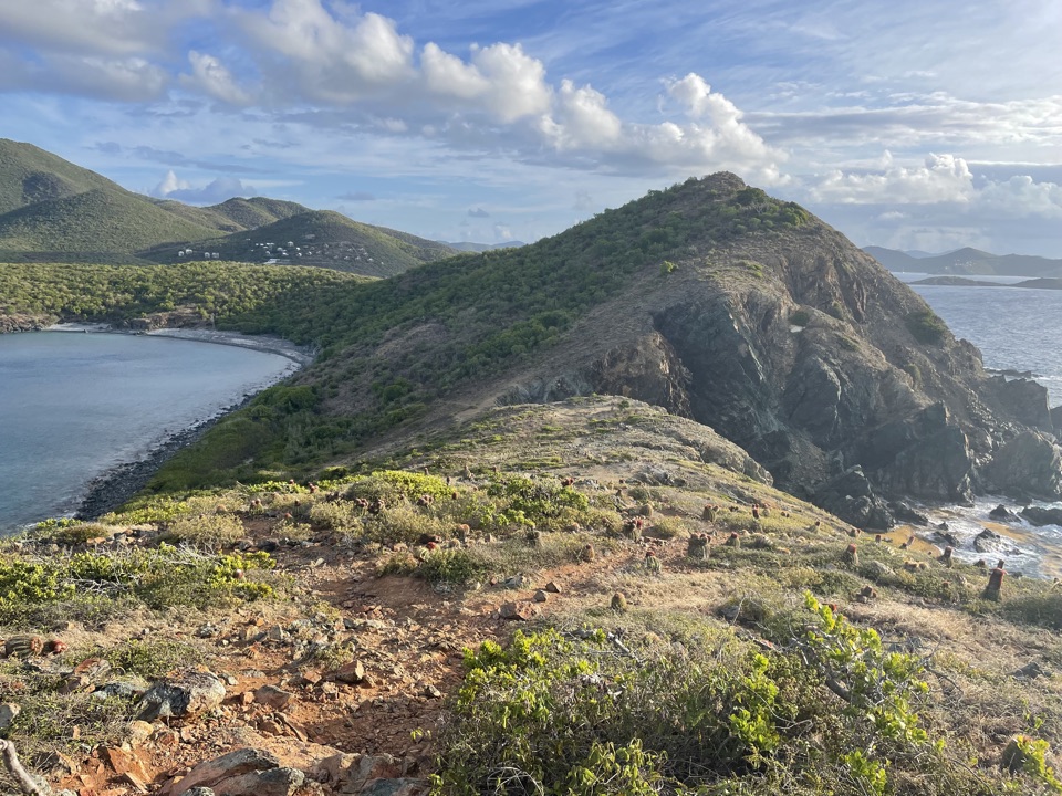
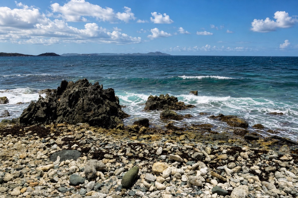
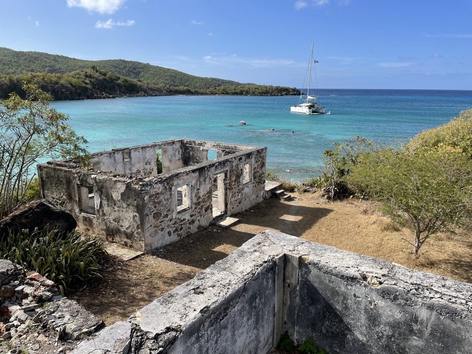
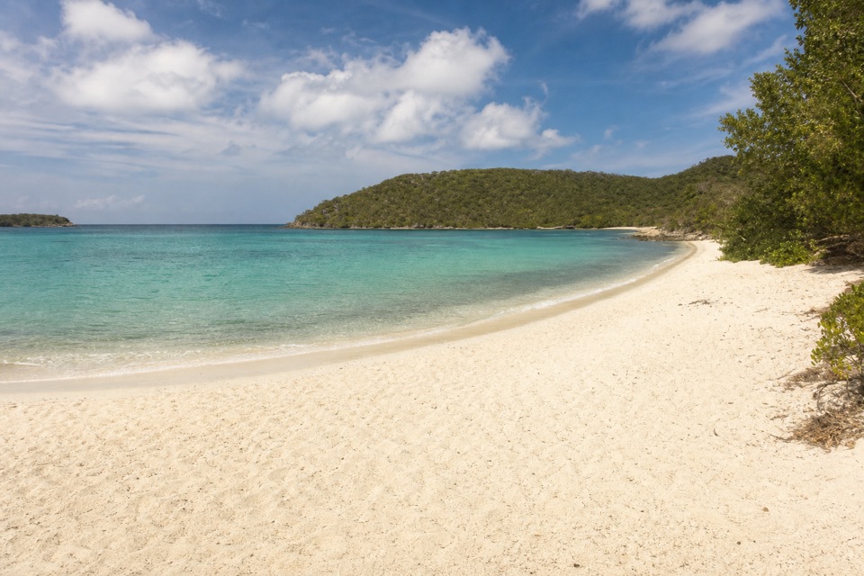
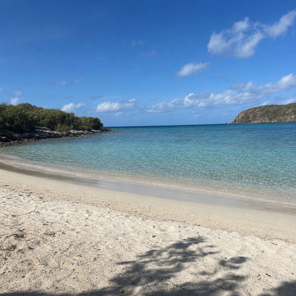
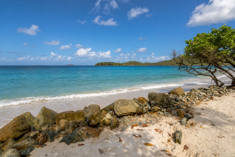
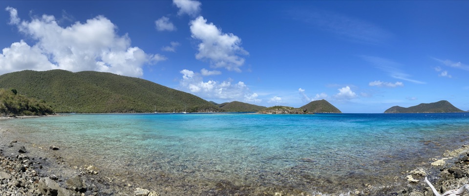
Great Lameshur Bay Beach is a long crescent of stones and pebbles on the north shore of Great Lameshur Bay. It is the first beach on the rough road from Coral Bay; sandy Little Lameshur comes farther along. Come for a rocky shore and snorkeling, not for an easy sweep of soft sand.

The road and arrivalThe two bays are about five miles from Coral Bay.

The two bays are about five miles from Coral Bay. Four-wheel drive is recommended for the rocky access road, and many rental agreements prohibit driving it, so check yours before setting out. Parking is roadside at several points. Bring lunch and water from Coral Bay; don't plan on buying supplies at the beach.

Snorkel along the rocky edgeThe rocky coral shoreline holds fish and other marine life, and coral starts close to shore.

The rocky coral shoreline holds fish and other marine life, and coral starts close to shore. A small pocket cove lies about 300 to 400 yards along the eastern shoreline and is a useful place to look for an entry. Waves build toward Yawzi Point, so the conditions can change along the bay. Don't snorkel alone.

Tektite in the wider bayGreat Lameshur Bay was the site of the Tektite undersea habitat program in 1969 and 1970.

Great Lameshur Bay was the site of the Tektite undersea habitat program in 1969 and 1970. General Electric, NASA, the U.S. Navy, and the Department of the Interior were among the partners. It became the first nationally sponsored "scientists-in-the-sea" program.

Frame the stones and waterFrom the beach, let the pebble crescent fill the foreground with the bay and its green hills…

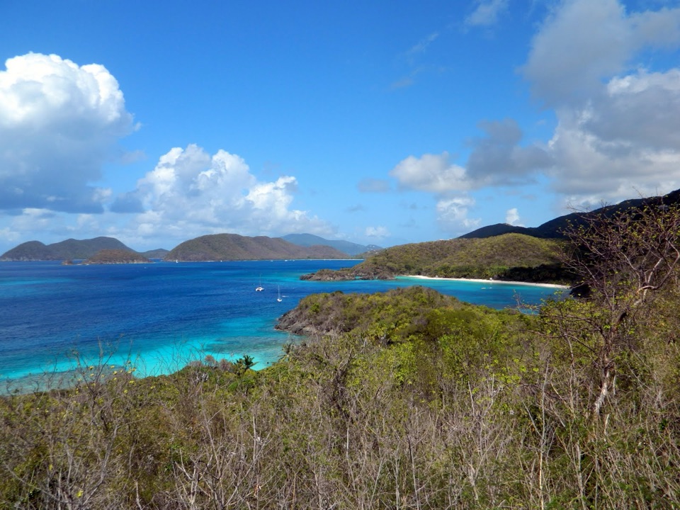
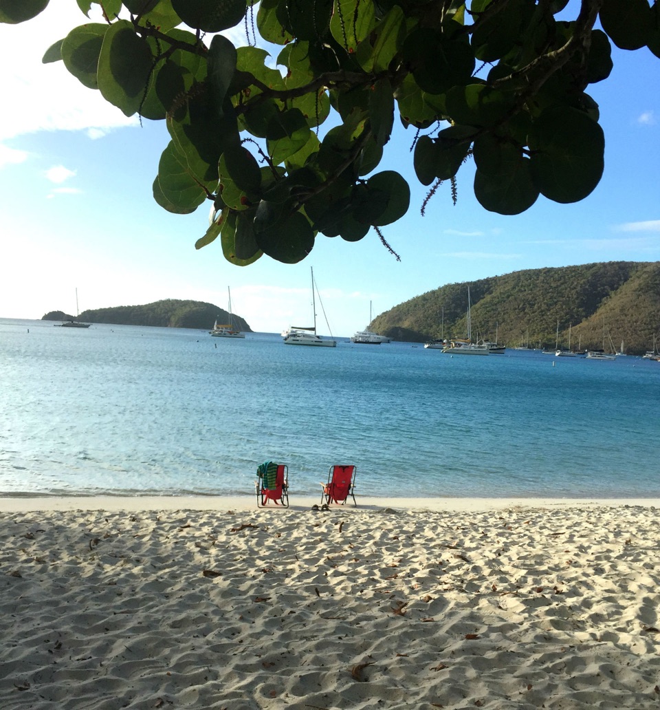
From the beach, let the pebble crescent fill the foreground with the bay and its green hills behind it. The shore is reached right from the access road, so you don't need a long walk to get that view.

Wildlife

Wildlife in Virgin Islands

All Virgin Islands wildlife maps

Sighting maps show where each species has been reported across Virgin Islands. Wildlife moves, so no sighting is guaranteed.

Keep exploring

Near Great Lameshur Bay Beach

See it all on the map

Trails nearby

More stops nearby

Parkwolf’s Virgin Islands ranking

Top sights in Virgin Islands

All 42 places
  1. 1Trunk Bay BeachBeach
  2. 2Maho Bay BeachBeach
  3. 3Annaberg Sugar PlantationSight
  4. 4Cinnamon Bay BeachBeach
  5. 5Waterlemon CaySight
  6. 6Reef Bay PetroglyphsSight

Take Parkwolf to Virgin Islands.

The audio tour guide for the drive, plus offline maps, trails, and wildlife heatmaps for when the signal drops.

4.7 from 8,600+ ratings

Download Parkwolf on the App StoreGet Parkwolf on Google Play