Parking
From Centerline Road (Route 10), follow Lameshur Bay Road to its end at Little Lameshur Bay; the trailhead is at the road-end access. The unpaved approach is marked for four-wheel drive. Exact parking capacity is not published.
#10 of 22 trails in Virgin Islands
Virgin Islands National Park, VI
Three miles round trip for a ridge walk to Reef Bay Trail.
Overview
Map & elevation
Plan your hike

The highest, rockiest slopes around here are a summer buffet for grizzly bears.
Virgin Islands Tour Guide
Parkwolf is a GPS audio tour guide for Virgin Islands National Park. As you drive, it chimes in with what’s ahead: hidden gems, upcoming stops, history, geology, and wildlife, right through your car’s speakers.
Recorded for this area
Salt Pond Bay and Ram Head“Salt Pond Bay's parking area is coming up, with a rocky quarter-mile walk down to the beach. The sandy middle gives you a gentle water entry, while the rocky edges are the more interesting snorkeling.”
Plays on the road 1.4 mi from the trailhead in the Parkwolf Virgin Islands Tour Guide.
More stories near here in the app
“Fantastic app with many points of information… It’s great to just turn on while you’re driving and it gives you an audio tour of the national Park. We love it!!!!”


Trail guide
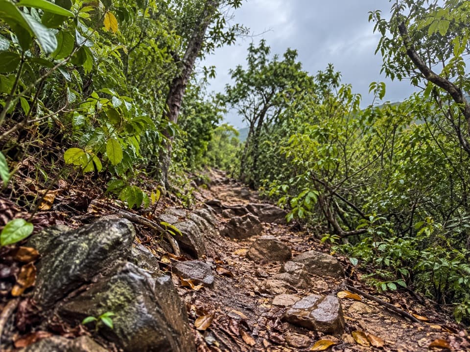
Lameshur Bay Trail is a 3-mile walk out and back from road-end access at Little Lameshur Bay to the junction with Reef Bay Trail. The main corridor is 1.5 miles each way. Allow about 2.5 to 3 hours for the return, more if you take side paths. It suits hikers who want a compact south-side walk that still crosses a ridge and ends with a view across Reef Bay Valley. This is a moderate hike, not a flat beach stroll; turn around at the Reef Bay junction and retrace the line.
From Centerline Road (Route 10), follow unpaved Lameshur Bay Road to its end by Little Lameshur Bay. The approach is marked for four-wheel drive, and high clearance is recommended for the rough road. Parking is at the road end, but the exact capacity isn't published. There is no safe drinking water along park trails, and food or toilets weren't confirmed at this access. Leashed dogs are allowed on trails with a leash no longer than six feet, but not on beaches.
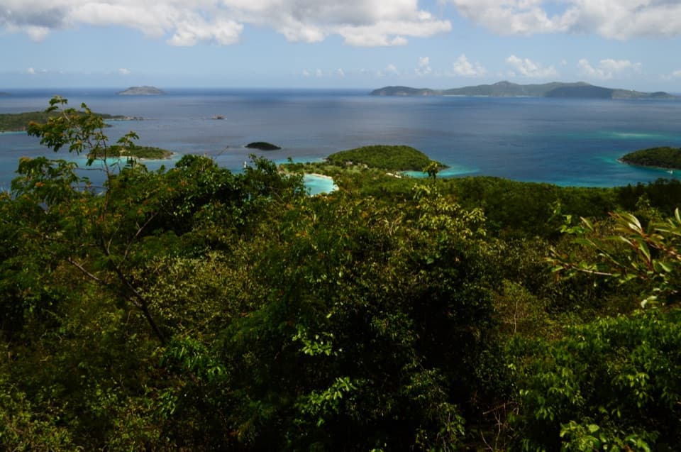
The first 0.2 mile is nearly flat. At the first split, a short branch climbs to a viewpoint across Europa Bay. A deep crack crosses that spur just before the view, so watch your footing and don't attempt the crossing if it feels unsafe. Back on the main trail, another branch drops to a salt pond and coral-rubble beach at Europa Bay. That detour adds distance beyond the 3-mile route; the named trail continues inland.
After the Europa Bay split, the main path makes its biggest climb over the south side of Bordeaux Mountain. It levels, then makes a long descent to the Reef Bay Trail junction. Near the west end, look across Reef Bay Valley toward Camelberg Peak. A separate 0.2-mile spur climbs about 120 feet to Reef Bay Great House; it isn't included in the route. The junction sits just above a usually dry stream. Reef Bay Beach and the Petroglyph Trail are farther along Reef Bay Trail, so continuing changes the hike. On the return, the long descent becomes the main climb back over the ridge.
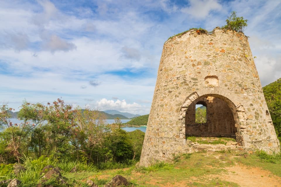
Little Lameshur Bay sits behind the remains of Lameshur Plantation. Cultivation began early in the 18th century; by 1780 the estate had basic sugar works and about 100 acres under cultivation. A 1789 notice described it as a cotton plantation, and later uses included cattle and bay and lime oil production. The plantation horsemill existed by 1800, though the surviving structure likely dates to the mid-19th century. This is a route connection through the old landscape, not a ruins circuit.
Wildlife
 151 sightingsWhite-tailed DeerMost seen around 8 AMSighting map
 115 sightingsGreen IguanaMost seen around 9 AMSighting map
 62 sightingsBrown PelicanMost seen around 8 AMSighting map
 35 sightingsGreen Sea TurtleMost seen around noonSighting map
 32 sightingsAmerican FlamingoMost seen around 7 AMSighting map
 26 sightingsNurse SharkMost seen around 7 PMSighting map
Sighting maps show where each species has been reported across Virgin Islands. Wildlife moves, so no sighting is guaranteed.
Keep exploring
 ChallengingBordeaux Mountain Trail2.4 mi · 2.5 hr · At the trailheadTwo viewpoints reward a steep climb above Lameshur Bay.
 ModerateEuropa Point Trail1 mi · 54 min · At the trailheadA short rocky spur ends with a wide view across Europa Bay.
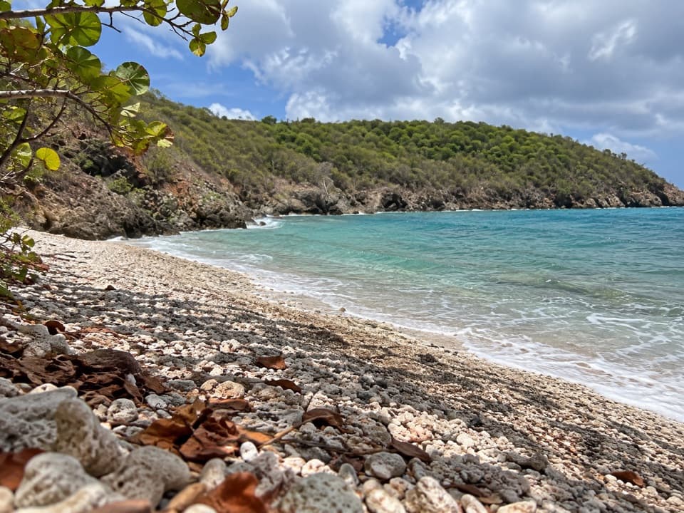 EasyEuropa Bay Trail1.1 mi · 54 min · At the trailheadSalt pond and coral rubble at the end of a short trail.
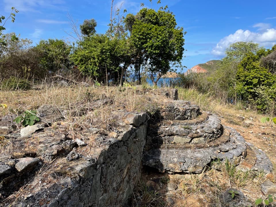 EasyYawzi Point Trail0.6 mi · 45 min · 0.2 mi awayColonial stonework, rocky coves and two bay views in one short walk.
 ModerateTektite Trail1.3 mi · 1 hr · 0.7 mi awayRocky climb to Great Lameshur Bay views and plantation ruins.
 ChallengingRam Head Trail2.6 mi · 2 hr · 1.4 mi awayCactus slopes and island views reward the rocky beach crossing.
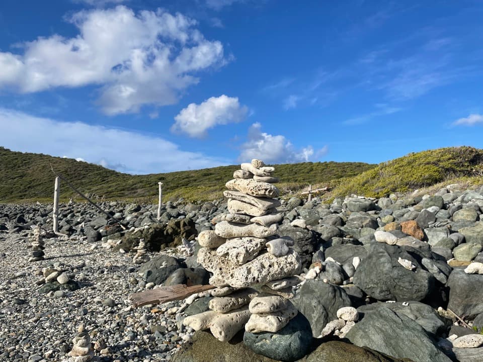 EasyDrunk Bay Trail1.8 mi · 1.3 hr · 1.4 mi awayA salt pond path ends at a rough, rocky Caribbean shore.
 ChallengingPetroglyph Trail3.4 mi · 3 hr · 2.1 mi awayA shaded descent to ancient carvings, with a steep climb back out.
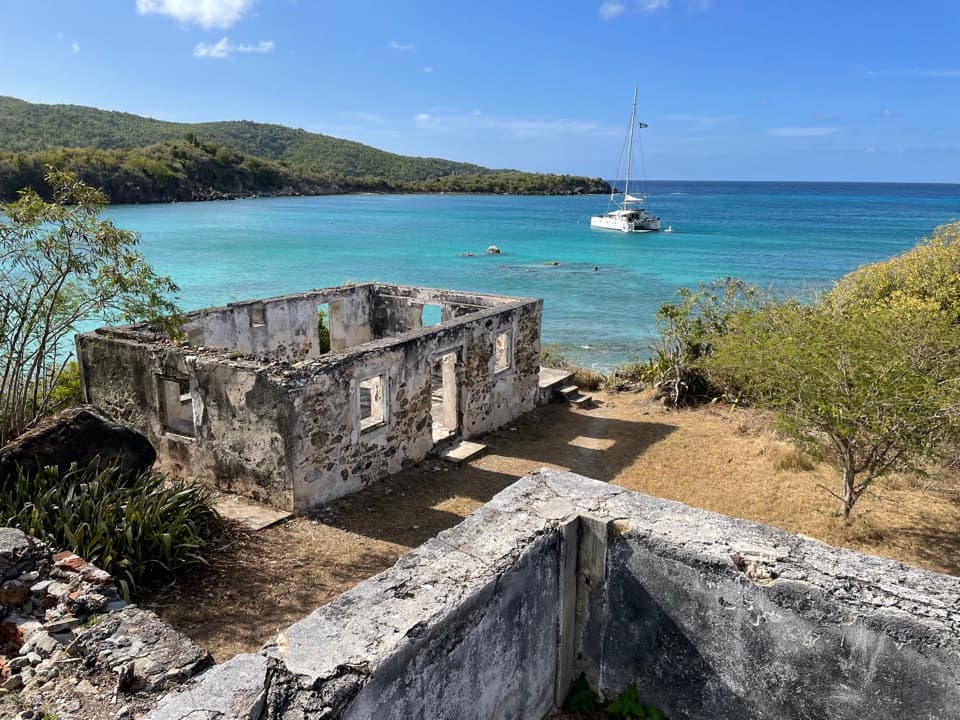 Sight · At the trailheadLameshur Plantation RuinsA 60-foot horsemill and bay-oil still reveal centuries of work.
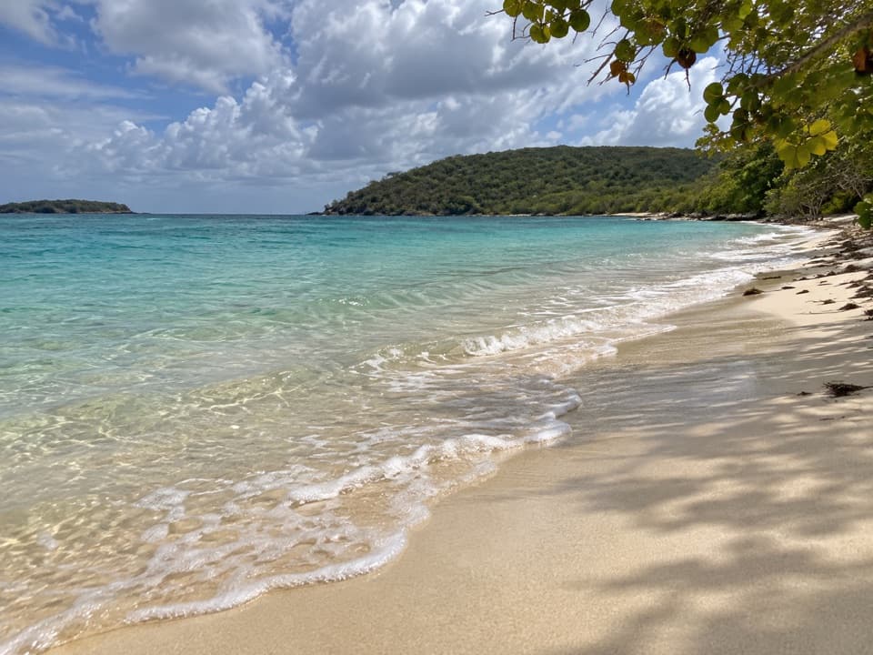 Beach · 0.1 mi awayLittle Lameshur Bay BeachA remote sandy beach with snorkeling reefs close to shore.
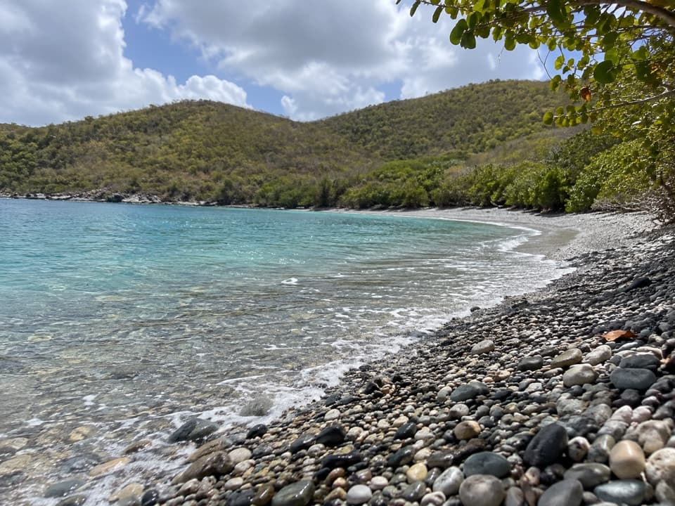 Beach · 0.4 mi awayGreat Lameshur Bay BeachA rocky snorkel shore before sandy Little Lameshur.
 Sight · 1.2 mi awayReef Bay Sugar MillSurviving sugar-mill machinery, reached by a hard hike or boat.
 Sight · 1.4 mi awayReef Bay PetroglyphsTaíno faces and a spring-fed pool reward the long hike.
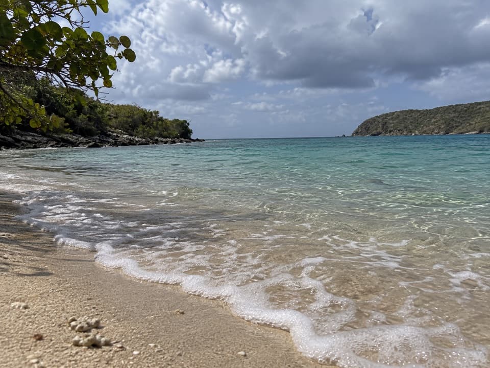 Beach · 1.7 mi awaySalt Pond Bay BeachCurved sand, rocky-shore snorkeling and a short walk make this feel earned.
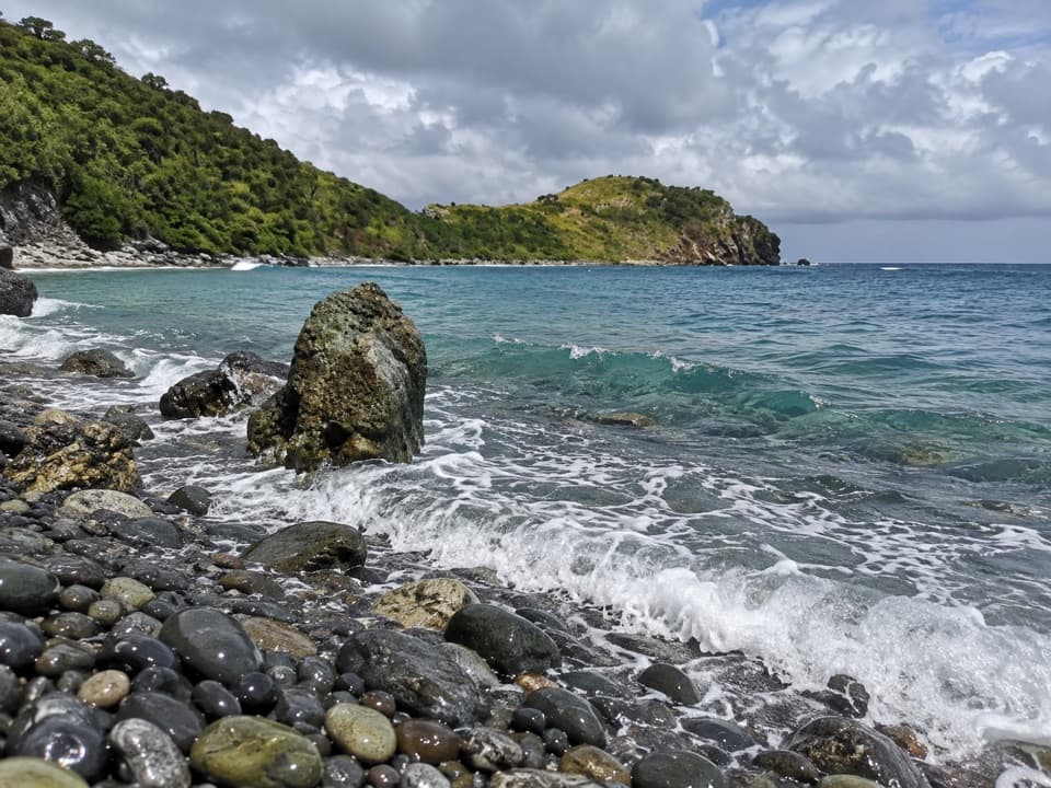 Beach · 2 mi awayBlue Cobblestone BeachA jade-green cobble shore where waves rattle the stones.
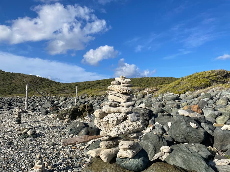 Beach · 2 mi awayDrunk BayA rough, rocky shore with surf and strange stone figures
Parkwolf’s Virgin Islands ranking

The audio tour guide for the drive, plus offline maps, trails, and wildlife heatmaps for when the signal drops.