
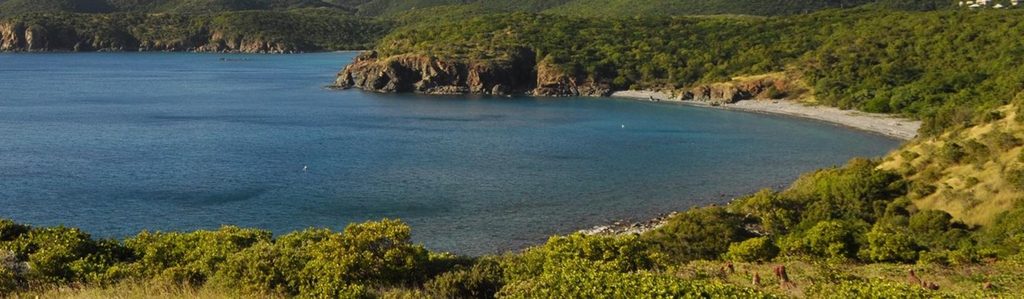
Place · 0.3 mi away
Easy
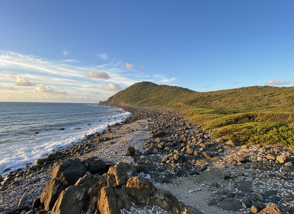
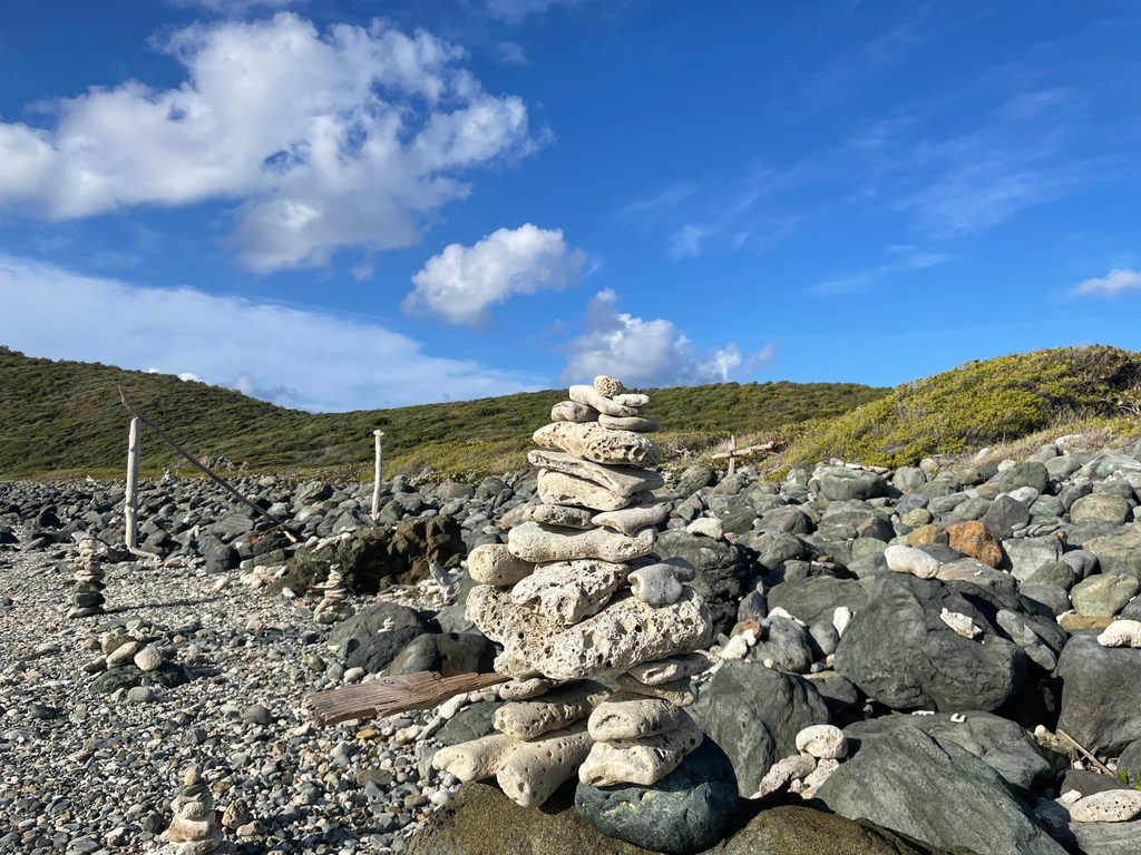
This is a short, easy out-and-back from Salt Pond Bay to a rugged Atlantic shoreline where visitors arrange coral and rock into whimsical “people” and sculptures. Expect about 1.1–1.2 miles total including the connector from the Salt Pond Bay parking area, and around 30 minutes of walking. It’s mostly flat but rocky in places, especially near Drunk Bay, and the landscape is dry and exposed with cactus and reddish soil—very different from St. John’s lush north shore.
Park at the Salt Pond Bay lot on the island’s southeast side, walk down to the beach, turn left along the back of the sand, and follow the well-signed path around the salt pond to Drunk Bay. It’s straightforward, with uneven footing in spots. Facilities like picnic tables and trash receptacles are by Salt Pond Beach. A public bus does reach the Salt Pond stop, but timing can be inconsistent—build in flexibility if you’re relying on it.
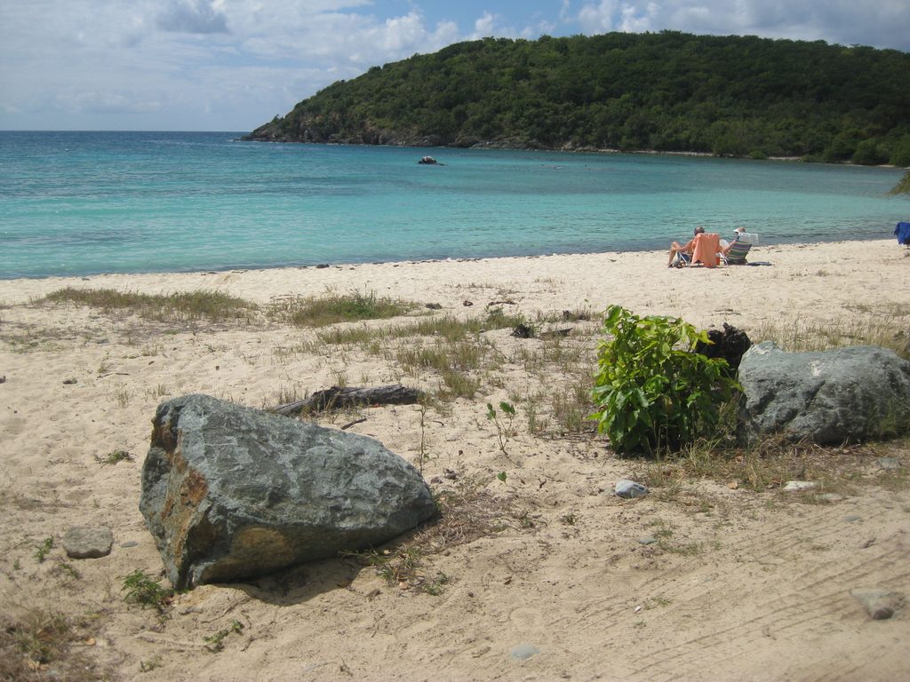
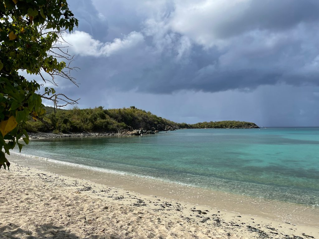
Drunk Bay is all rock and coral rubble, with strong surf and dramatic waves crashing into the shoreline. It’s not a swimming spot—save that for calm, sandy Salt Pond Bay next door, where people often snorkel and see sea turtles (and occasionally rays). Around the salt pond, you may notice the water can look rust-red at times, and the wind-swept coast can offer far-reaching views on clear days.
December through July tends to be best. Start early for cooler temps and gentler light—this route is open, sunny, and can feel hot. Breezes are common by the coast, but there’s little shade overall.
Wear sturdy sandals or shoes; the path and shoreline are rocky and there’s cactus off-trail. Don’t swim at Drunk Bay—waves and rocks make it hazardous. Seasonal sargassum can pile up here, bringing strong odors and messy shorelines; small flies and spiders are occasionally noted near the pond. If you add to the beach art, use only loose, dead materials found above the high-tide line and leave living reef and seafloor untouched. Dogs are allowed but must be leashed.
Pair this quick walk with a swim or snorkel at Salt Pond Bay, and if you’ve got energy, continue out to the Ram Head Trail for big views from the headland. It’s an easy, satisfying “three-in-one” outing day from the same area.
Park at the Salt Pond Bay lot off Route 107; walk down to the beach, turn left along the back of the sand, and follow the signed path around the salt pond to Drunk Bay.
Hot, sun-exposed, and rocky underfoot; strong surf and sharp coral at Drunk Bay (no swimming). Seasonal sargassum can smell; small flies and spiders possible near the pond. Keep dogs leashed.
Place · 0.3 mi away
Place · 0.4 mi away
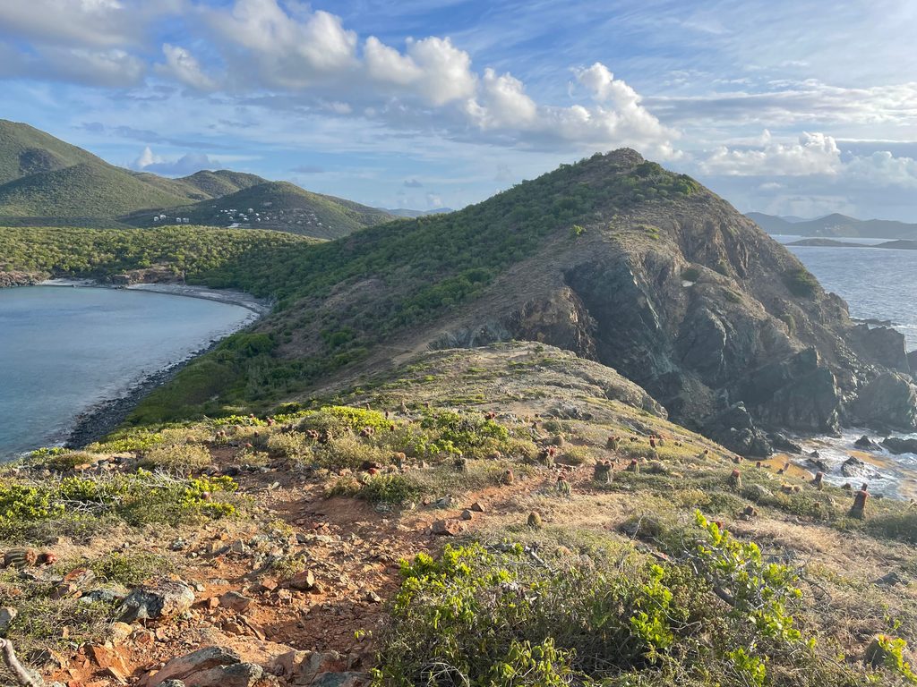
Place · 0.6 mi away
Place · 1 mi away
Moderate · 0 mi away
Easy · 0 mi away
Moderate · 0.7 mi away
Easy · 1.2 mi away

Parkwolf Tour Guide
