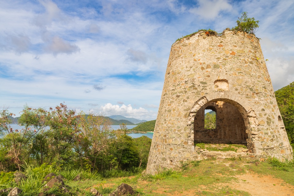
Parking
Parking is at the Lameshur Bay Trailhead at the end of Lameshur Road. A high-clearance 4×4 is recommended for the access road. Walk about 0.2 mile to the Europa Point junction.
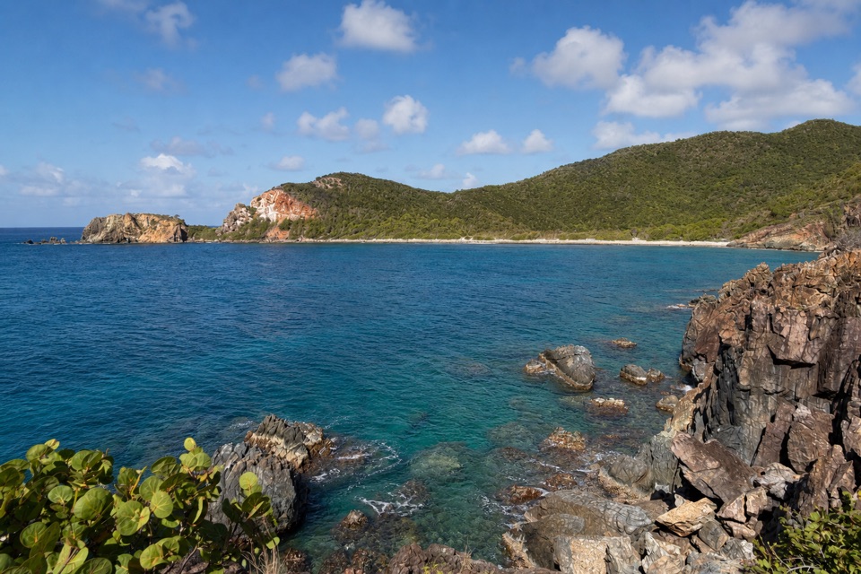
Virgin Islands National Park, VI
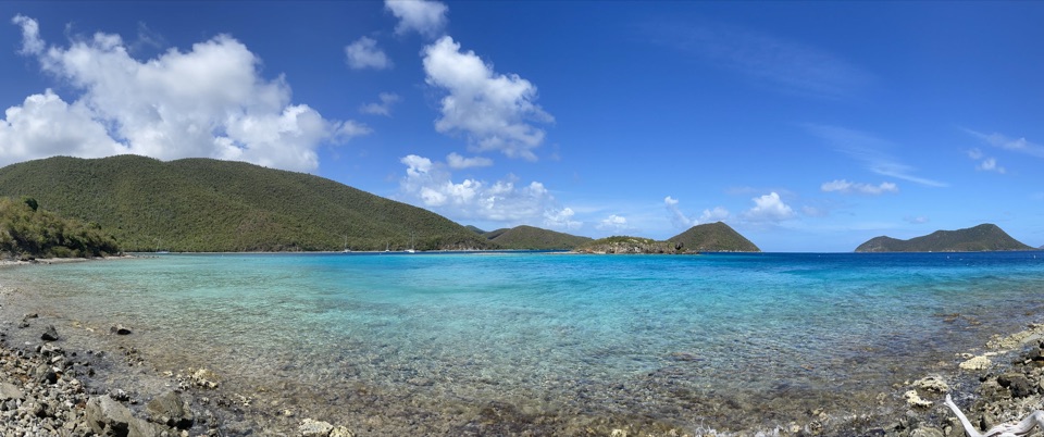
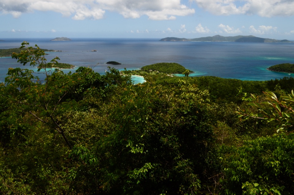
A short rocky spur ends with a wide view across Europa Bay.
Overview
Map & elevation
Plan your hike

The highest, rockiest slopes around here are a summer buffet for grizzly bears.
Virgin Islands Tour Guide
Parkwolf is a GPS audio tour guide for Virgin Islands National Park. As you drive, it chimes in with what’s ahead: hidden gems, upcoming stops, history, geology, and wildlife, right through your car’s speakers.
Recorded for this area
Salt Pond Bay and Ram Head“Salt Pond Bay's parking area is coming up, with a rocky quarter-mile walk down to the beach. The sandy middle gives you a gentle water entry, while the rocky edges are the more interesting snorkeling.”
Plays on the road 1.4 mi from the trailhead in the Parkwolf Virgin Islands Tour Guide.
More stories near here in the app
“Fantastic app with many points of information… It’s great to just turn on while you’re driving and it gives you an audio tour of the national Park. We love it!!!!”


Trail guide
Europa Point Trail is a 1.0-mile out-and-back from the Lameshur Bay Trailhead. Walk about 0.2 mile on the shared approach to the first side-trail junction, then take the 0.3-mile Europa Point spur and return the same way. Allow about an hour. The payoff is a direct look across Europa Bay, though the finish asks for careful footing.
The Europa Point spur leaves the approach trail at its first side junction, about 0.2 mile from the road access. It climbs a short hill to a rocky point. From there, Europa Bay’s separate trail ends across the water. This route stops at Europa Point; the bay trail is a different branch.
Just before the main viewpoint, the trail crosses a rock fissure. A misstep could have serious consequences. Cross only if you can step over it securely; turn around if it would take a jump or scramble. Dogs may be on park trails on a leash no longer than six feet; keep them off beaches.
Wildlife
 150 sightingsWhite-tailed DeerMost seen around 8 AMSighting map
 114 sightingsGreen IguanaMost seen around 9 AMSighting map
 62 sightingsBrown PelicanMost seen around 8 AMSighting map
 35 sightingsGreen Sea TurtleMost seen around noonSighting map
 32 sightingsAmerican FlamingoMost seen around 7 AMSighting map
 26 sightingsNurse SharkMost seen around 7 PMSighting map
Sighting maps show where each species has been reported across Virgin Islands. Wildlife moves, so no sighting is guaranteed.
Keep exploring
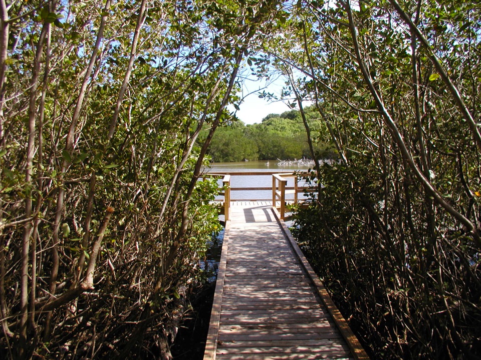
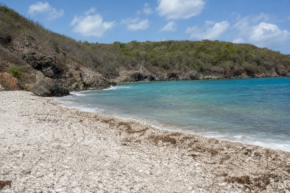 EasyEuropa Bay Trail1.1 mi · 54 min · At the trailheadSalt pond and coral rubble at the end of a short trail.
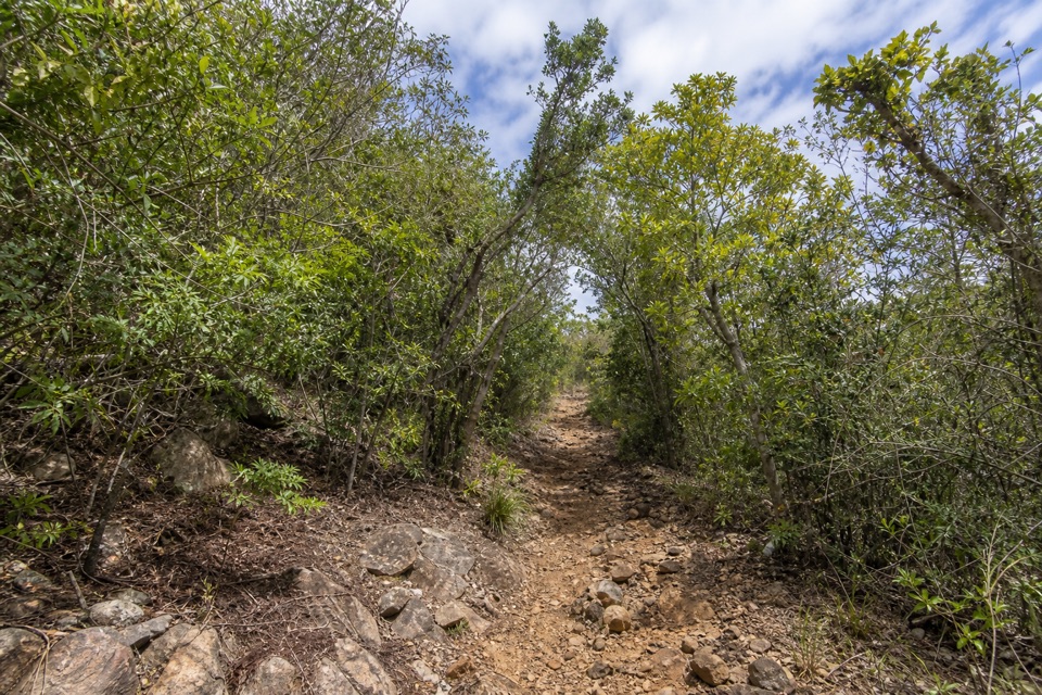 ModerateLameshur Bay Trail3 mi · 2.8 hr · At the trailheadThree miles round trip for a ridge walk to Reef Bay Trail.
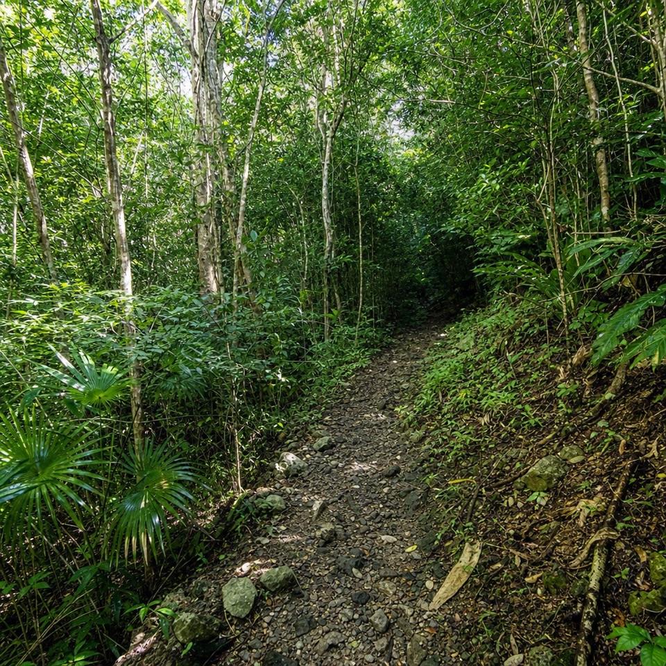 ChallengingBordeaux Mountain Trail2.4 mi · 2.5 hr · At the trailheadTwo viewpoints reward a steep climb above Lameshur Bay.
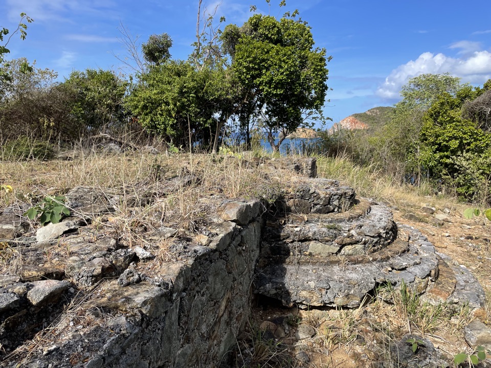 EasyYawzi Point Trail0.6 mi · 45 min · 0.2 mi awayColonial stonework, rocky coves and two bay views in one short walk.
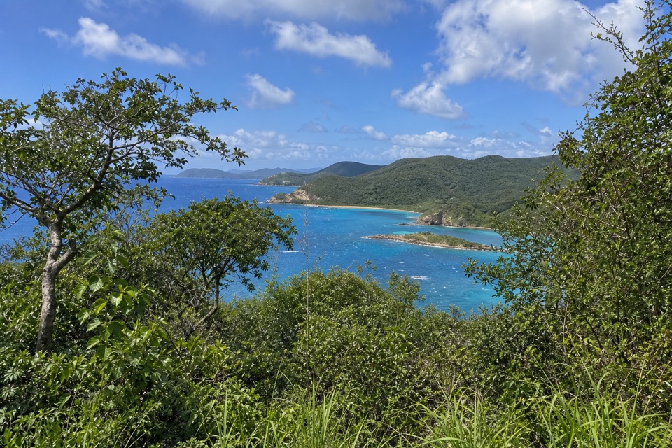 ModerateTektite Trail1.3 mi · 1 hr · 0.7 mi awayRocky climb to Great Lameshur Bay views and plantation ruins.
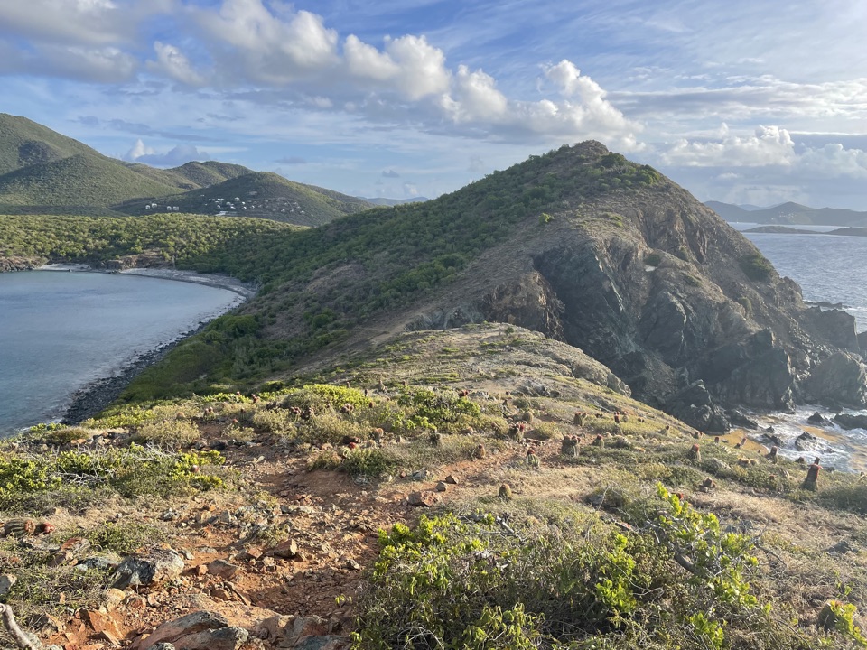 ChallengingRam Head Trail2.6 mi · 2 hr · 1.4 mi awayCactus slopes and island views reward the rocky beach crossing.
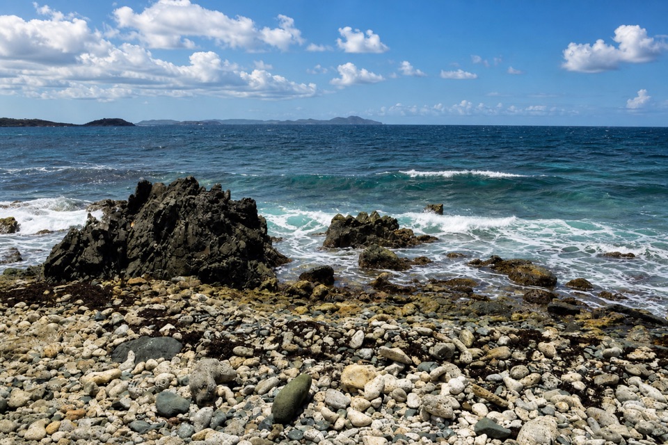 EasyDrunk Bay Trail1.8 mi · 1.3 hr · 1.4 mi awayA salt pond path ends at a rough, rocky Caribbean shore.
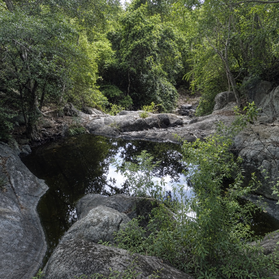 ChallengingPetroglyph Trail3.4 mi · 3 hr · 2.1 mi awayA shaded descent to ancient carvings, with a steep climb back out.
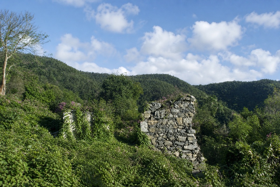
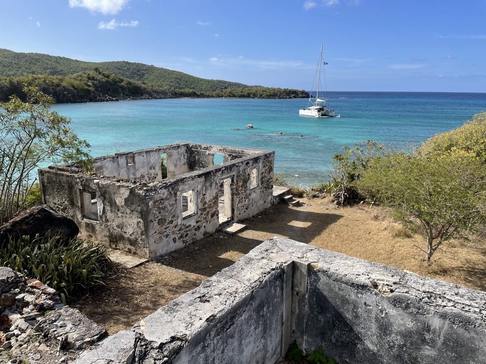 Sight · At the trailheadLameshur Plantation RuinsA 60-foot horsemill and bay-oil still reveal centuries of work.
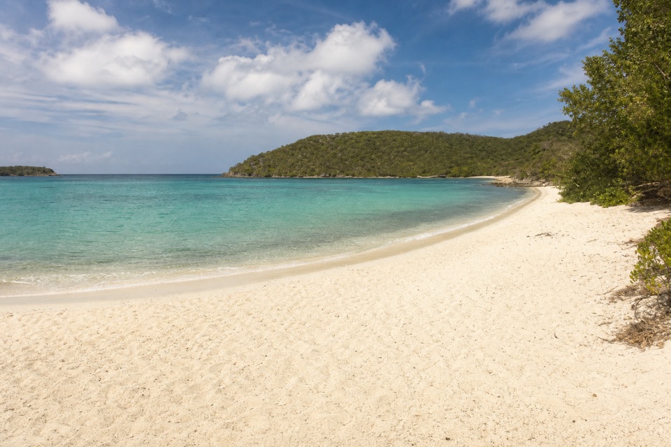 Beach · 0.1 mi awayLittle Lameshur Bay BeachA remote sandy beach with snorkeling reefs close to shore.
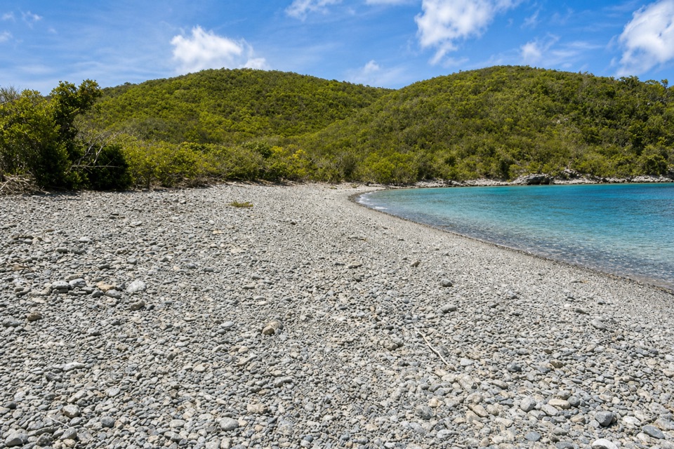 Beach · 0.4 mi awayGreat Lameshur Bay BeachA rocky snorkel shore before sandy Little Lameshur.
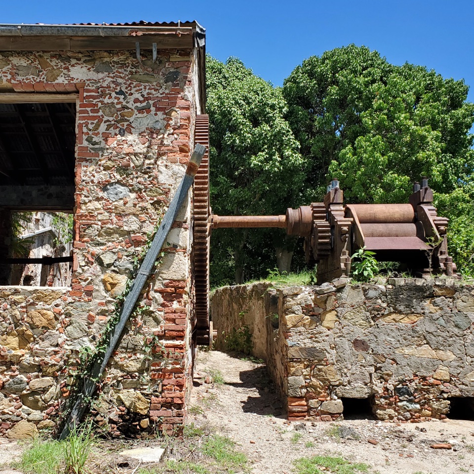 Sight · 1.2 mi awayReef Bay Sugar MillSurviving sugar-mill machinery, reached by a hard hike or boat.
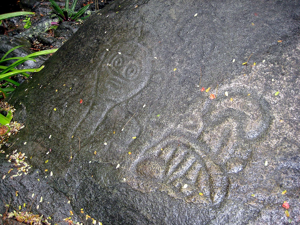 Sight · 1.4 mi awayReef Bay PetroglyphsTaíno faces and a spring-fed pool reward the long hike.
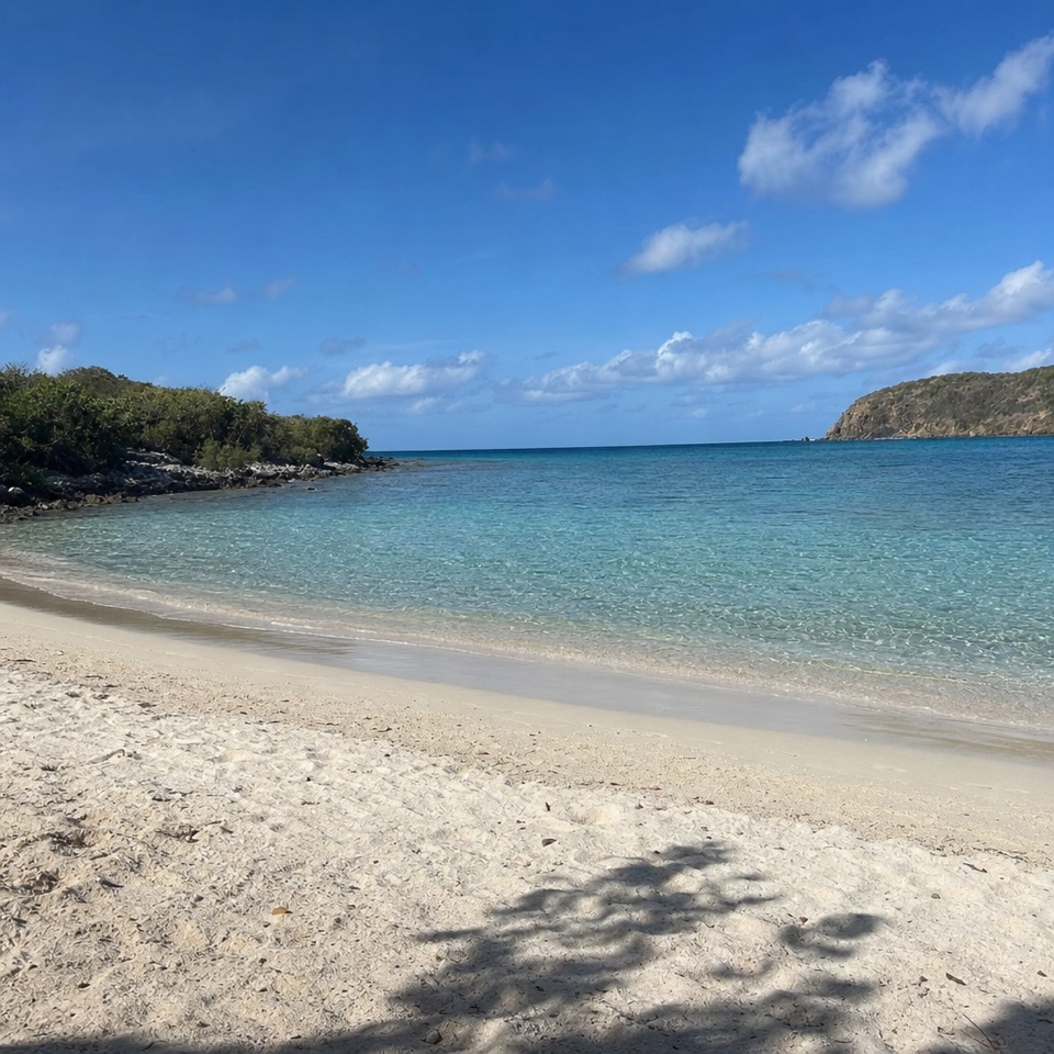 Beach · 1.7 mi awaySalt Pond Bay BeachCurved sand, rocky-shore snorkeling and a short walk make this feel earned.
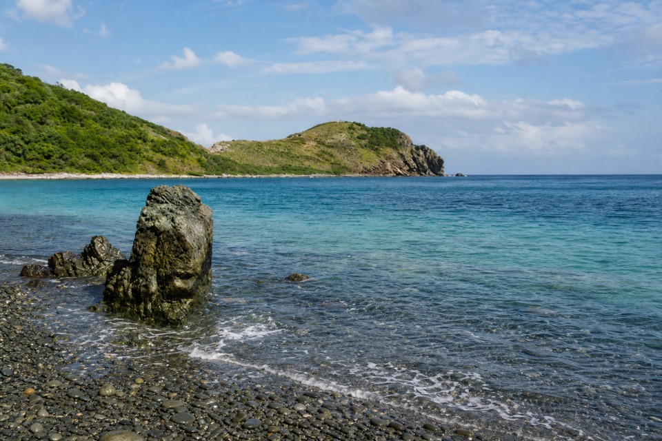 Beach · 2 mi awayBlue Cobblestone BeachA jade-green cobble shore where waves rattle the stones.
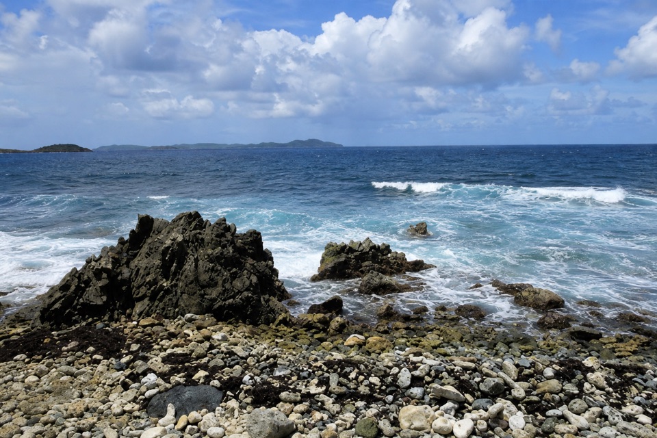 Beach · 2 mi awayDrunk BayA rough, rocky shore with surf and strange stone figures
Parkwolf’s Virgin Islands ranking

The audio tour guide for the drive, plus offline maps, trails, and wildlife heatmaps for when the signal drops.