Annaberg Sugar Plantation in Virgin Islands National Park

#3 of 38 sights in Virgin Islands

Sight · Virgin Islands National Park

Annaberg Sugar Plantation

Read St. John’s sugar and enslavement history among the ruins.

Type
Sight
Nearest trail
Right here
Audio stories
10 nearby
  • Parking
  • Restrooms
  • Picnic tables
  • Scenic viewpoint

Hear the audio tour

Annaberg Sugar Plantation

Overview

About Annaberg Sugar Plantation

Why stop

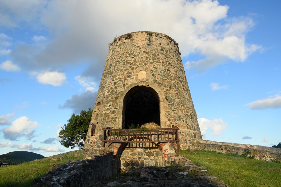
  • The windmill, factory and workers’ quarters make the island’s difficult history tangible.

Heads up

  • The approach from parking is steep and rocky.

Map

Where it is

Loading the Virgin Islands map
Full map
SightAnnaberg Sugar Plantation18.36342, -64.73111
Keep this map with you offline in the Parkwolf app

Plan your stop

Before you go

3 active Virgin Islands alerts

  • ClosureCaneel Bay: designated areas only; pier closedAt Caneel Bay, stay in designated public areas; other areas remain closed because of present safety risks, and the pier remains closed because it has been deemed unsafe.Official details
  • CautionModerate rip-current risk at U.S. Virgin Islands beachesThe National Weather Service reports a moderate rip-current risk for the U.S. Virgin Islands. - Choose a guarded or more protected beach and swim near a lifeguard.Official details

See all 3 alerts
A park ranger sits on a dash-mounted phone, talking, as Parkwolf’s Tour Guide plays “Army Cutworm Moths: A Grizzly Bear Buffet” on Grand Loop Road below Dunraven Pass in Yellowstone
Parkwolf Tour GuideThe highest, rockiest slopes around here are a summer buffet for grizzly bears.

Virgin Islands Tour Guide

Your drive to Annaberg Sugar Plantation, narrated.

Parkwolf is a GPS audio tour guide for Virgin Islands National Park. As you drive, it chimes in with what’s ahead: hidden gems, upcoming stops, history, geology, and wildlife, right through your car’s speakers.

Recorded for this place

Annaberg Sugar Plantation
0:00 / 0:30
“You're approaching the access road for Annaberg Sugar Plantation. The hillside windmill and factory ruins make this a stop to keep if you want to understand the history behind the island scenery.”

Plays as you drive up to Annaberg Sugar Plantation in the Parkwolf Virgin Islands Tour Guide.

More stories near here in the app

  • Waterlemon Cay via Leinster Bay
  • Francis Bay Beach and Salt Pond Boardwalk
  • Watch the Bananaquit’s Beak
  • The Firewood Delivery at Coral Bay
  • 26 audio storiesacross Virgin Islands’s roads, triggered by GPS as you drive
  • Wildlife heatmapsfor White-tailed Deer, Green Iguana, Brown Pelican, and 13 more
  • Works offlinemaps, 22 trails, 42 places, and audio download before you lose signal
  • CarPlay readysimple controls built for the drive
★★★★★
“Fantastic app with many points of information… It’s great to just turn on while you’re driving and it gives you an audio tour of the national Park. We love it!!!!”
JMJamesApp Store review
Download Parkwolf on the App StoreGet Parkwolf on Google Play

4.7 from 8,600+ ratings

Guide

More about Annaberg Sugar Plantation

Give the ruins timeAnnaberg Sugar Plantation is a hillside complex of 18th- and 19th-century sugar works above…

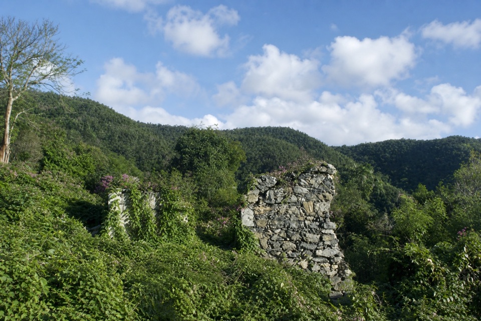
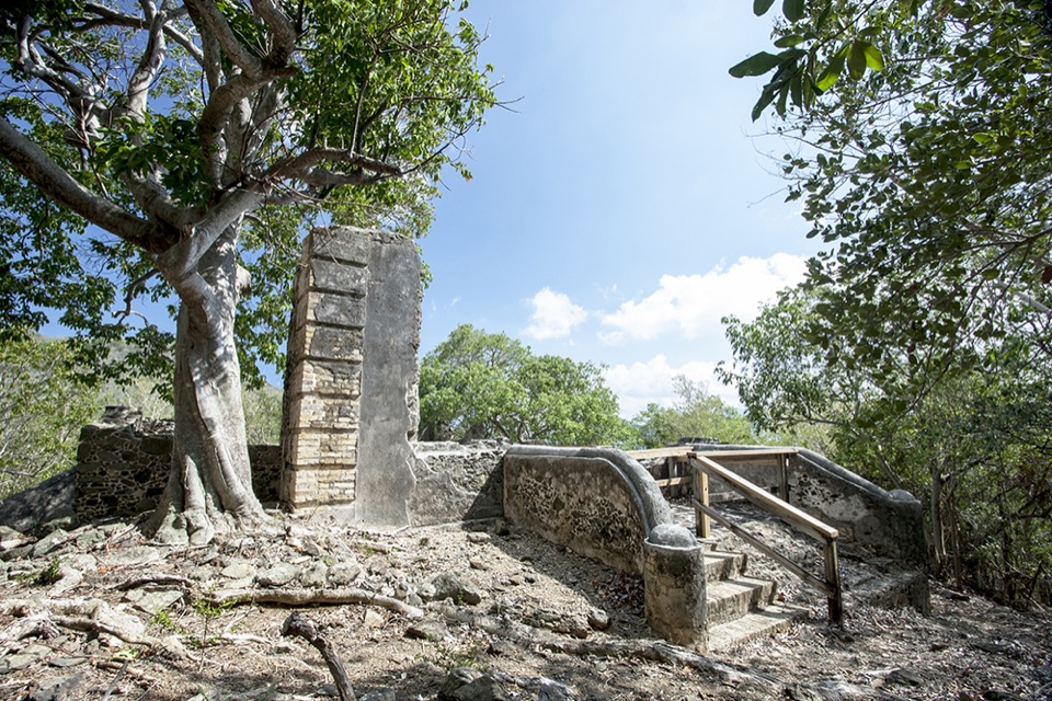
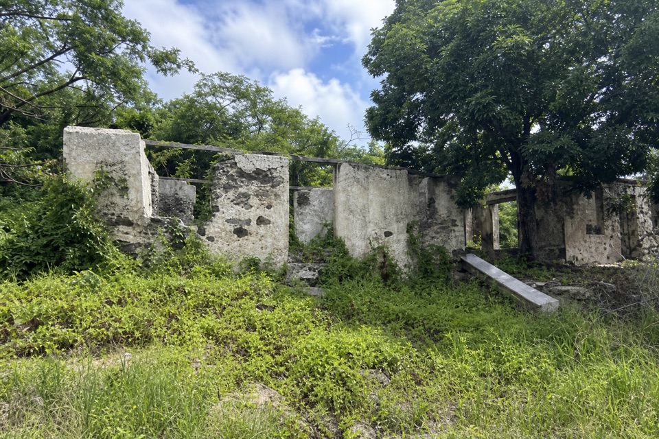
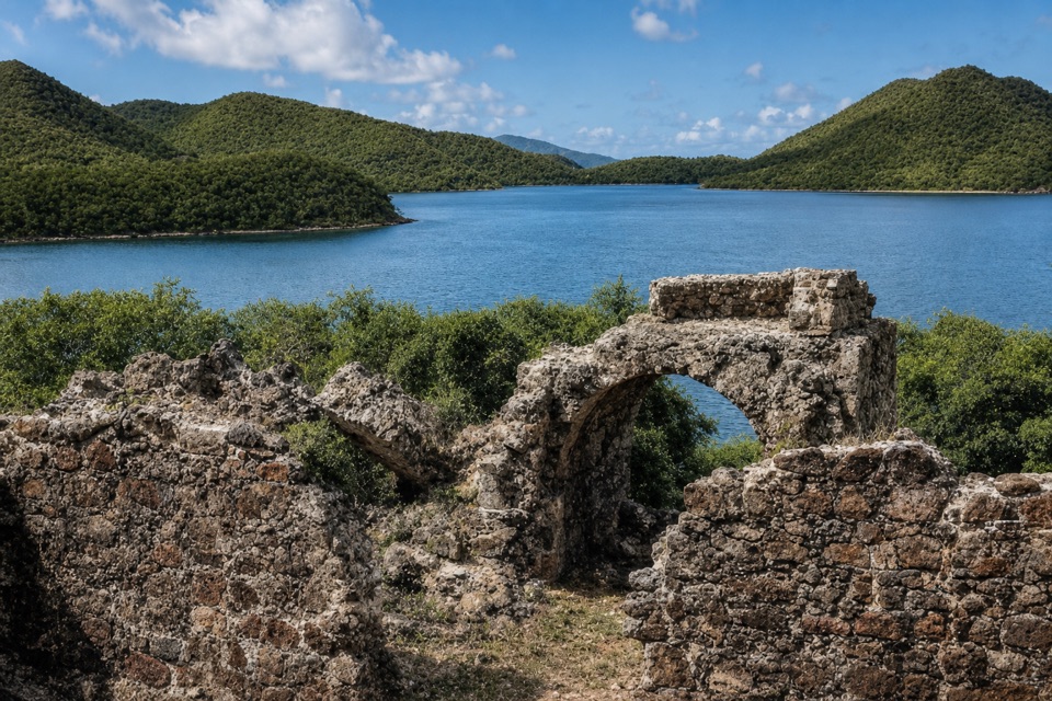
Annaberg Sugar Plantation is a hillside complex of 18th- and 19th-century sugar works above Leinster Bay on St. John’s north shore. A self-guided walk connects the windmill, factory ruins and remains associated with the enslaved people who lived and labored here. Keep it on your list if you want to understand the history behind the island scenery. Set aside 1–2 hours to read the waysides; a quicker circuit can take about 45 minutes.

Make the climbFollow the signed spur from Northshore Road to the parking area.

Follow the signed spur from Northshore Road to the parking area. The path from the lot climbs steeply over rocky ground to the historic district; once among the buildings, the route is comparatively level. That first climb does not meet wheelchair safety standards. Parking, public restrooms and a picnic table are listed at the site. Occasional cultural-program demonstrations have included local foods, but treat them as a bonus rather than a dependable meal.

Ruins above the bayThe path winds through the surviving factory, windmill tower, workers’ quarters and other stone…

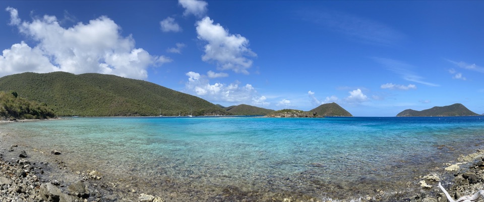
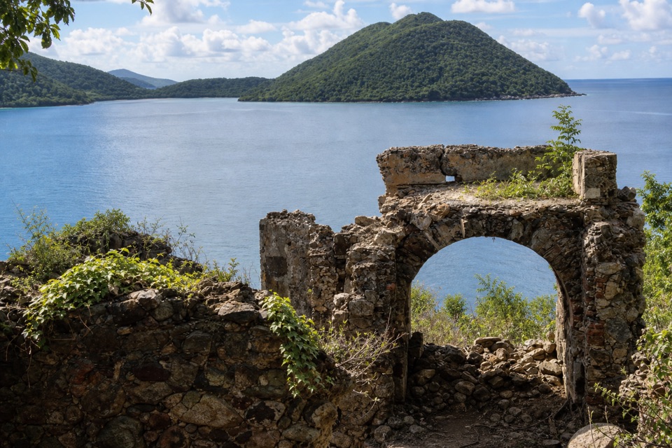
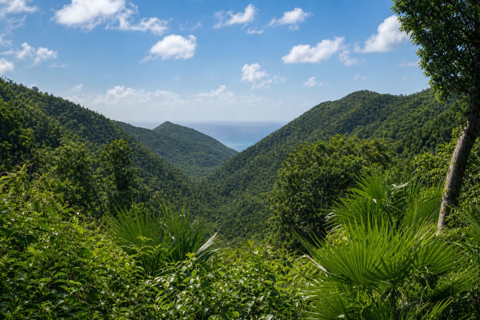
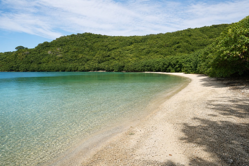
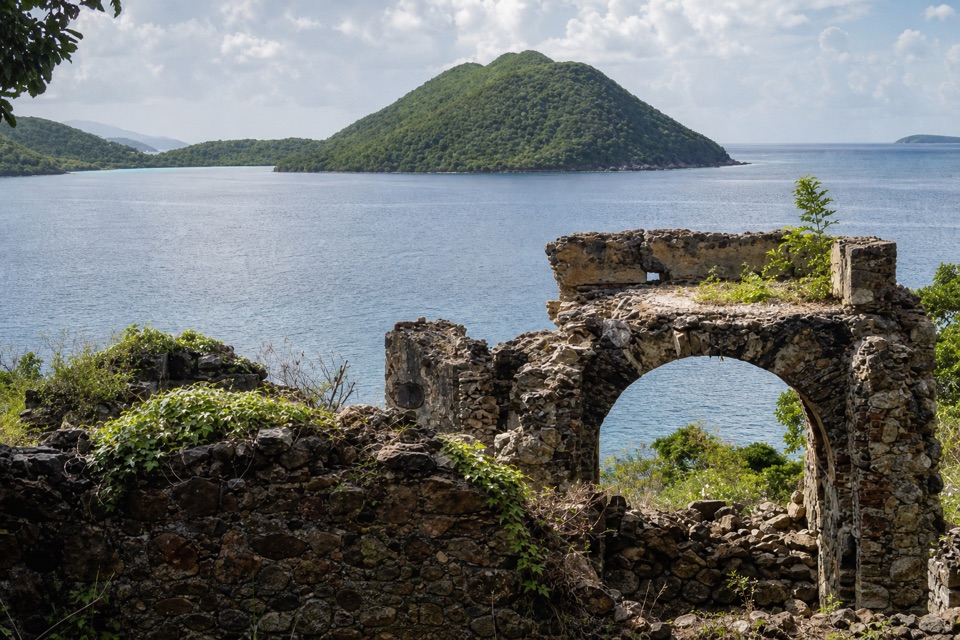
The path winds through the surviving factory, windmill tower, workers’ quarters and other stone structures, with waysides explaining how each part was used. The site sits on a bluff above Leinster Bay, looking across the channel toward the British Virgin Islands. For a photo, keep a piece of stonework in the foreground and the bay beyond it; a view of water alone loses what makes this stop distinct.

How the sugar works ranThe boiling house heated cane juice through a sequence of copper kettles to make raw muscovado…

The boiling house heated cane juice through a sequence of copper kettles to make raw muscovado sugar. The sugar drained in a curing house, and the molasses went on to rum production. The estate also had a roughly 20,000-gallon cistern because potable groundwater was scarce. That was historic infrastructure, not a visitor drinking-water refill.

The people forced to work hereMore than 600 enslaved Africans worked at Annaberg under brutal conditions.

More than 600 enslaved Africans worked at Annaberg under brutal conditions. At the plantation’s height, at least 65 cabins stood in the village below the factory; most were built from wattle and daub and had thatched roofs. Archaeological traces include a small bake oven and colonoware. The remains tell a story about the people made to sustain this estate as much as they tell one about its machinery.

Wind, animals and a tall towerThe windmill was about 38 feet high and 34 feet across at its base, among St. John’s largest.

The windmill was about 38 feet high and 34 feet across at its base, among St. John’s largest. When the wind was calm or the windmill unavailable, an animal-powered mill crushed cane instead. St. John had only five windmills in all, with Annaberg’s tower among the largest.

A name and a changing estateAnnaberg means “Anna Mountain.”

Annaberg means “Anna Mountain.” Salomon Zeeger gave the estate that name in 1758 for his wife, Anna deWindt. James Murphy bought the property in 1796 and built the surviving sugar works between 1797 and 1805.

Resistance and the end of productionA small detention cell was built into the factory.

A small detention cell was built into the factory. A chain and handcuffs were found fastened to a post there; the site is also connected to Joe Popp, who escaped in 1839 after resisting abuse and fled to Tortola. Sugar production had already fallen sharply by 1861 amid emancipation, depleted soil and falling prices. A 1867 hurricane and subsequent earthquakes damaged the works and ended production at Annaberg.

Wildlife

Wildlife in Virgin Islands

All Virgin Islands wildlife maps

Sighting maps show where each species has been reported across Virgin Islands. Wildlife moves, so no sighting is guaranteed.

Keep exploring

Near Annaberg Sugar Plantation

See it all on the map

Trails nearby

More stops nearby

Parkwolf’s Virgin Islands ranking

Top sights in Virgin Islands

All 42 places
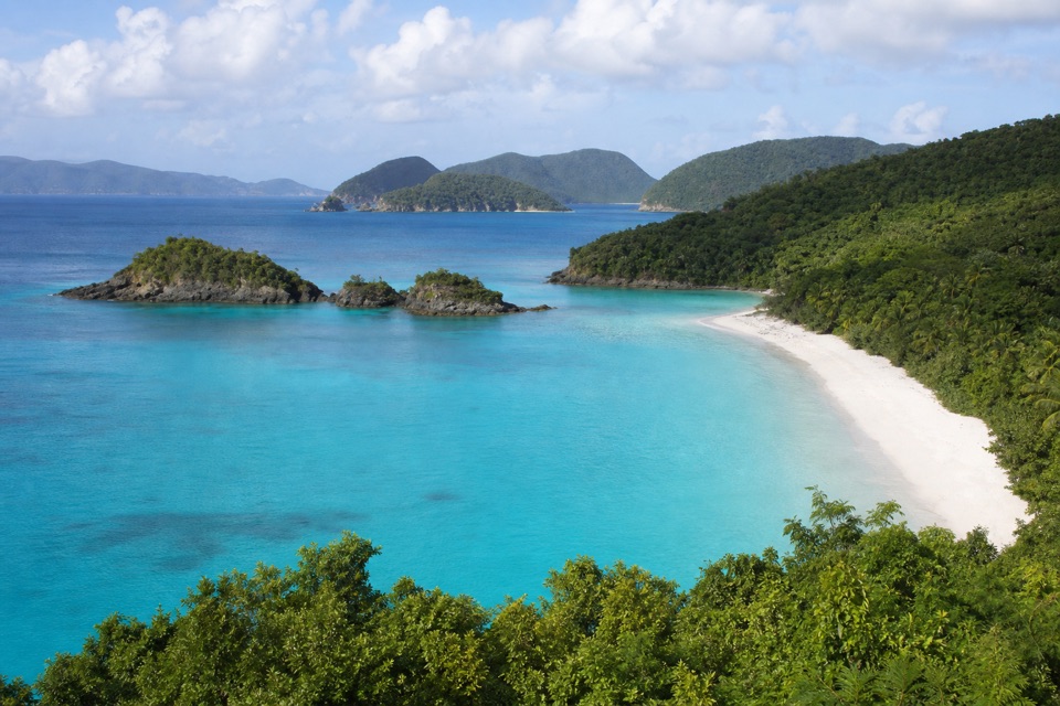
  1. 1Trunk Bay BeachBeach
  2. 2Maho Bay BeachBeach
  3. 4Cinnamon Bay BeachBeach
  4. 5Waterlemon CaySight
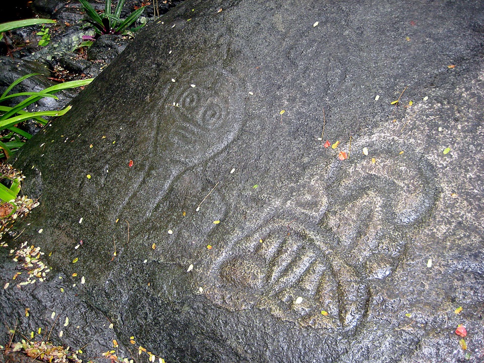
  5. 6Reef Bay PetroglyphsSight
  6. 7Trunk Bay OverlookSight

Take Parkwolf to Virgin Islands.

The audio tour guide for the drive, plus offline maps, trails, and wildlife heatmaps for when the signal drops.

4.7 from 8,600+ ratings

Download Parkwolf on the App StoreGet Parkwolf on Google Play