Bordeaux Mountain Trail in Virgin Islands National Park

Virgin Islands National Park, VI

Bordeaux Mountain Trail

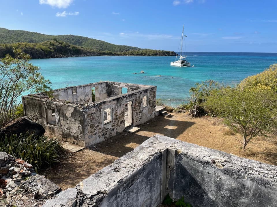
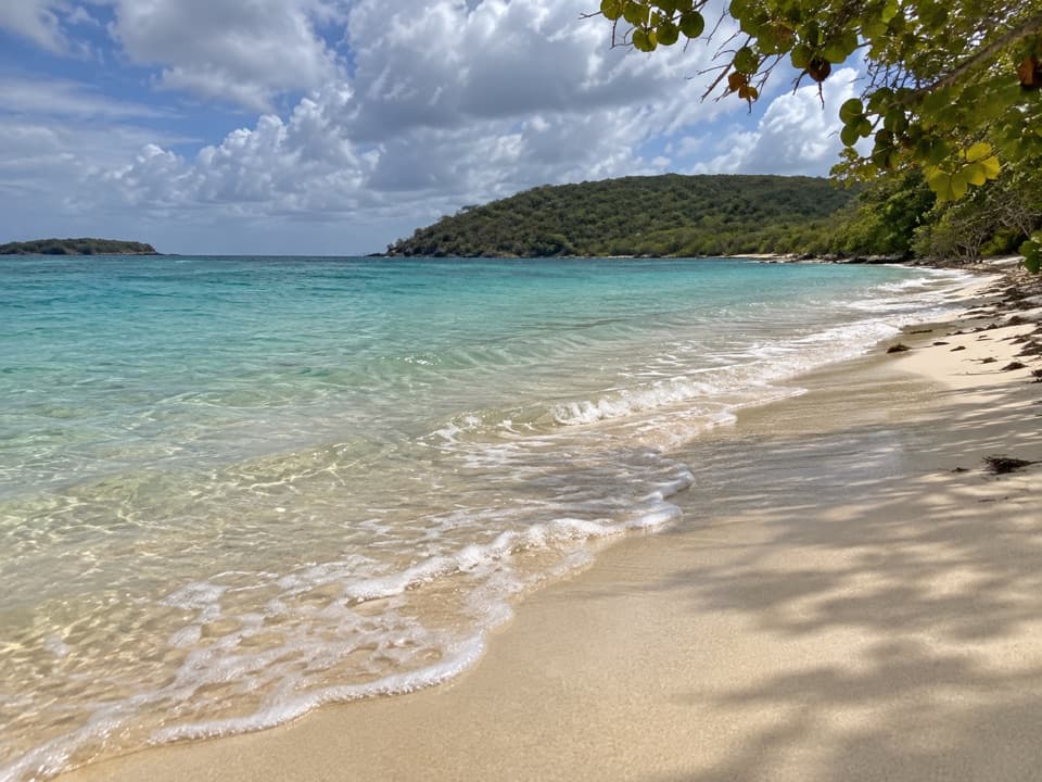
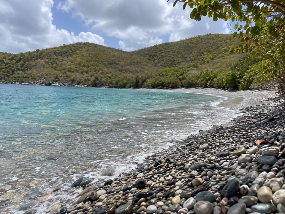
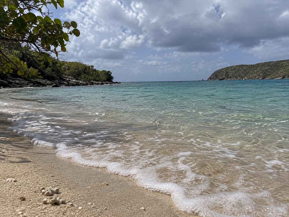
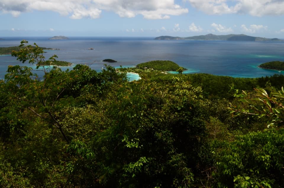
Two viewpoints reward a steep climb above Lameshur Bay.

Length
2.4mi
Time
2.5hr
Elev. change
1,050ft
Difficulty
Challenging
  • Dogs allowed
  • High point 1,093 ft

Hear the audio tour

Salt Pond Bay and Ram Head

Overview

About Bordeaux Mountain Trail

Why go

  • Two distinct viewpoints look down over Lameshur Bay.
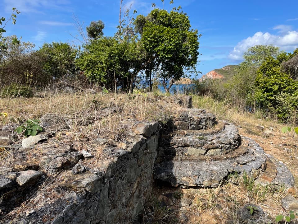
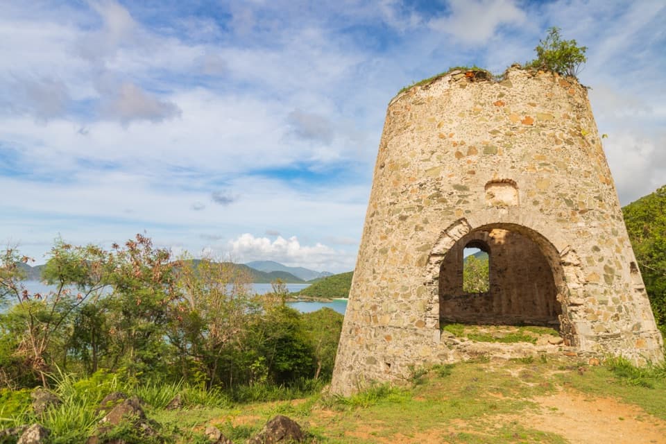
  • Historic stone drainage survives along the route.

Heads up

  • A sustained, sun-exposed climb with few level stretches.
  • A one-way hike needs a ride between trailheads.
Bordeaux Mountain Trail is a steep 2.4-mile out-and-back from lower Lameshur Bay to Bordeaux Mountain Road, about 1,000 feet higher. Two viewpoints above the south shore are the payoff. It is a hard climb over a short distance; allow about 2½ hours for the return trip. The trail ends at the road, below Bordeaux Mountain’s true summit.
Parkwolf’s verdictIs this the climb for you?

Map & elevation

The route

Loading the Virgin Islands map
Full map
Elevation43–1,093 ft
TrailheadLower Bordeaux Mountain Trailhead on Lameshur Road18.32076, -64.72744
Keep this map with you offline in the Parkwolf app

Plan your hike

Before you go

Parking

Lower access is at the end of Lameshur Road, at the joint Lameshur Bay–Bordeaux Mountain trailhead. The route follows the road uphill about 0.2 mile before leaving it for the footpath. The park map marks Lameshur Road as unpaved four-wheel-drive access. There is also an upper access on Bordeaux Mountain Road; use it for a through hike only with a ride arranged at the other end.

Safety

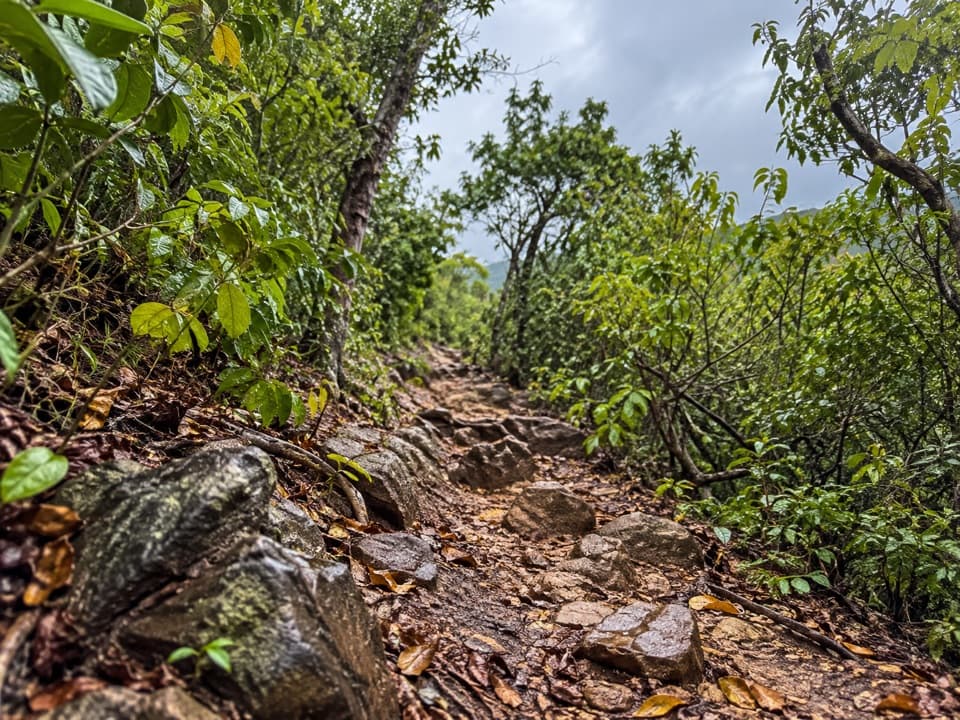
The route climbs roughly 1,000 feet in 1.2 miles and is open to sun, with narrow rocky tread and few easy sections. Heat makes the climb more demanding than its distance suggests. No safe drinking water is available along the park trails.

1 active Virgin Islands alert

  • ClosureCaneel Bay restricted areas and closed pierAt Caneel Bay, use only designated public areas; other areas and the pier remain closed. - Areas beyond the public areas remain closed because of present safety risks.Official details
Virgin Islands alerts
A park ranger sits on a dash-mounted phone, talking, as Parkwolf’s Tour Guide plays “Army Cutworm Moths: A Grizzly Bear Buffet” on Grand Loop Road below Dunraven Pass in Yellowstone
Parkwolf Tour GuideThe highest, rockiest slopes around here are a summer buffet for grizzly bears.

Virgin Islands Tour Guide

Your drive to Bordeaux Mountain Trail, narrated.

Parkwolf is a GPS audio tour guide for Virgin Islands National Park. As you drive, it chimes in with what’s ahead: hidden gems, upcoming stops, history, geology, and wildlife, right through your car’s speakers.

Recorded for this area

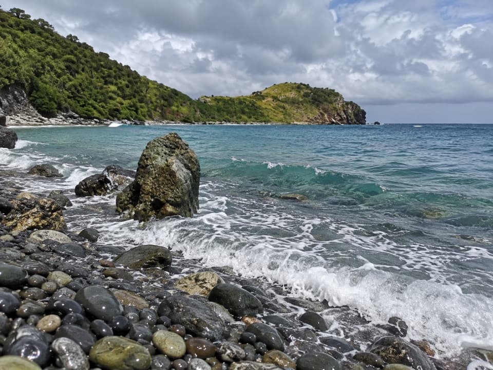
Salt Pond Bay and Ram Head
0:00 / 0:34
“Salt Pond Bay's parking area is coming up, with a rocky quarter-mile walk down to the beach. The sandy middle gives you a gentle water entry, while the rocky edges are the more interesting snorkeling.”

Plays on the road 1.4 mi from the trailhead in the Parkwolf Virgin Islands Tour Guide.

More stories near here in the app

  • The Fish That Make Sand
  • A Cactus Comes of Age
  • Corals Beneath the Mangroves
  • Reef Bay Trailhead and Petroglyphs
  • 26 audio storiesacross Virgin Islands’s roads, triggered by GPS as you drive
  • Wildlife heatmapsfor White-tailed Deer, Green Iguana, Brown Pelican, and 13 more
  • Works offlinemaps, 22 trails, 42 places, and audio download before you lose signal
  • CarPlay readysimple controls built for the drive
★★★★★
“Fantastic app with many points of information… It’s great to just turn on while you’re driving and it gives you an audio tour of the national Park. We love it!!!!”
JMJamesApp Store review
Download Parkwolf on the App StoreGet Parkwolf on Google Play

4.7 from 8,600+ ratings

Trail guide

Hiking Bordeaux Mountain Trail

From the bay to the upper roadStart at the lower Bordeaux Mountain access on Lameshur Road.

Start at the lower Bordeaux Mountain access on Lameshur Road. The route follows the road uphill from the shared Lameshur Bay junction for roughly 0.2 mile, then becomes a footpath and climbs with few level stretches. The tread is narrow and rocky. Walk it one way only if someone can meet you at the Bordeaux Mountain Road end; otherwise turn around there and retrace your steps.

Two views worth the climbThe first clear view opens from a rock formation well above either trailhead.

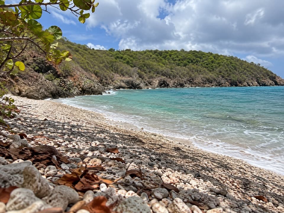
The first clear view opens from a rock formation well above either trailhead. A second viewpoint sits at an upper switchback; after it, the last quarter-mile winds through trees to the road. At the first rock, frame Lameshur Bay through the forest edge to show the drop below. If you have reached the second viewpoint, keep going to the road before you turn back.

Stonework along the slopeThis follows an old plantation-era route.

This follows an old plantation-era route. A plaque credits National Park Service work in 1986–87 that stabilized the steep path with stone drainage, tread repairs, and small rest areas to slow erosion. Look for the old stonework as you climb. Dogs are allowed on park trails on a leash no longer than six feet.

Wildlife

Wildlife in Virgin Islands

All Virgin Islands wildlife maps

Sighting maps show where each species has been reported across Virgin Islands. Wildlife moves, so no sighting is guaranteed.

Keep exploring

Near Bordeaux Mountain Trail

See it all on the map

Trails that start nearby

Places near the trailhead

Parkwolf’s Virgin Islands ranking

Top-rated trails in Virgin Islands

All 22 trails
  1. 1Ram Head TrailChallenging · 2.6 mi
  2. 2Leinster Bay TrailEasy · 1.6 mi
  3. 3Caneel Hill TrailChallenging · 4.3 mi
  4. 4America Hill TrailModerate · 1.2 mi
  5. 5Francis Bay TrailEasy · 0.8 mi
  6. 6Peace Hill TrailEasy · 0.2 mi

Take Parkwolf to Virgin Islands.

The audio tour guide for the drive, plus offline maps, trails, and wildlife heatmaps for when the signal drops.

4.7 from 8,600+ ratings

Download Parkwolf on the App StoreGet Parkwolf on Google Play