1 active Virgin Islands alert
- ClosureCaneel Bay restricted areas and pier closureAt Caneel Bay, stay within designated public areas; closed areas and the pier are off-limits.Official details

#1 of 38 sights in Virgin Islands
Beach · Virgin Islands National Park
A beach day with a short snorkel trail built in.
Photo: Photo by olekinderhook, via Wikimedia Commons, CC BY 3.0
Overview
Map
Plan your stop

The highest, rockiest slopes around here are a summer buffet for grizzly bears.
Virgin Islands Tour Guide
Parkwolf is a GPS audio tour guide for Virgin Islands National Park. As you drive, it chimes in with what’s ahead: hidden gems, upcoming stops, history, geology, and wildlife, right through your car’s speakers.
Recorded for this place
Trunk Bay Beach and Overlook“You're coming up on Trunk Bay, a sweep of pale sand with a marked underwater snorkel trail just offshore. Choose this one if you want a beach day with a closer look at reef life.”
Plays as you drive up to Trunk Bay Beach in the Parkwolf Virgin Islands Tour Guide.
More stories near here in the app
“Fantastic app with many points of information… It’s great to just turn on while you’re driving and it gives you an audio tour of the national Park. We love it!!!!”


Guide
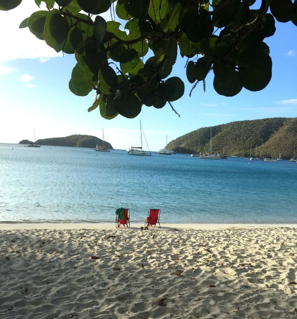
Trunk Bay Beach is a 0.3-mile sweep of pale sand on St. John’s north shore, with turquoise water, green hills and a small cay offshore. It’s the park’s headline beach day, and the underwater snorkel trail adds something to do beyond the sand. If you want swimming, a long stretch of beach and an introduction to reef life in one stop, this is the beach to prioritize. If quiet is the whole point, plan around the busy periods or choose another shore.
The underwater trail is a marked, self-guided snorkel past signs about reef animals and how to protect coral. Allow about 30 to 60 minutes, depending on how long you stop to read. It’s a short swim rather than a long reef outing, and the best fit for confident swimmers. Rough water can change the plan, so skip the trail if conditions feel beyond your comfort. Use reef-safe sunscreen or a rash guard, and stand only on sand, never coral.
Tour groups can gather around the snorkel trail and offshore rocks. If that end feels busy, walk farther along the shoreline; it can give you more room, though tour timing changes the feel of the beach. Parking is limited, so arrive early if you’re driving. A taxi from Cruz Bay is an alternative if you don’t want your day to depend on finding a space.
There’s a separate day-use fee for Trunk Bay. On the beach, you’ll find snorkel and life-jacket rentals, showers, flush restrooms, drinking water, picnic tables and a shelter. The snack shack and bar offer simple food and drinks; coffee, snacks and ice cream are among the listed options, but there’s no standout meal to plan around. Accessible paths and beach ramps reach the shore, and accessible restrooms are available. Details about mobility access across the sand aren’t clear.
Local lore links the bay’s name to leatherback turtles that once nested here in large numbers. A leatherback floating at the surface looked like a steamer trunk, the story goes, and people began calling them “trunk turtles.” Leatherbacks are rare in St. John’s waters, so enjoy the story without counting on a turtle sighting.
For the broad view, stop at the separate Trunk Bay Overlook above the beach: the higher angle shows the curve of sand, the cay and the water together. From the shoreline, include the green hills with the pale beach so the picture keeps its sense of place.
Wildlife
 156 sightingsWhite-tailed DeerMost seen around 8 AMSighting map
 117 sightingsGreen IguanaMost seen around 9 AMSighting map
 63 sightingsBrown PelicanMost seen around 8 AMSighting map
 36 sightingsGreen Sea TurtleMost seen around noonSighting map
 32 sightingsAmerican FlamingoMost seen around 7 AMSighting map
 26 sightingsNurse SharkMost seen around 7 PMSighting map
Sighting maps show where each species has been reported across Virgin Islands. Wildlife moves, so no sighting is guaranteed.
Keep exploring
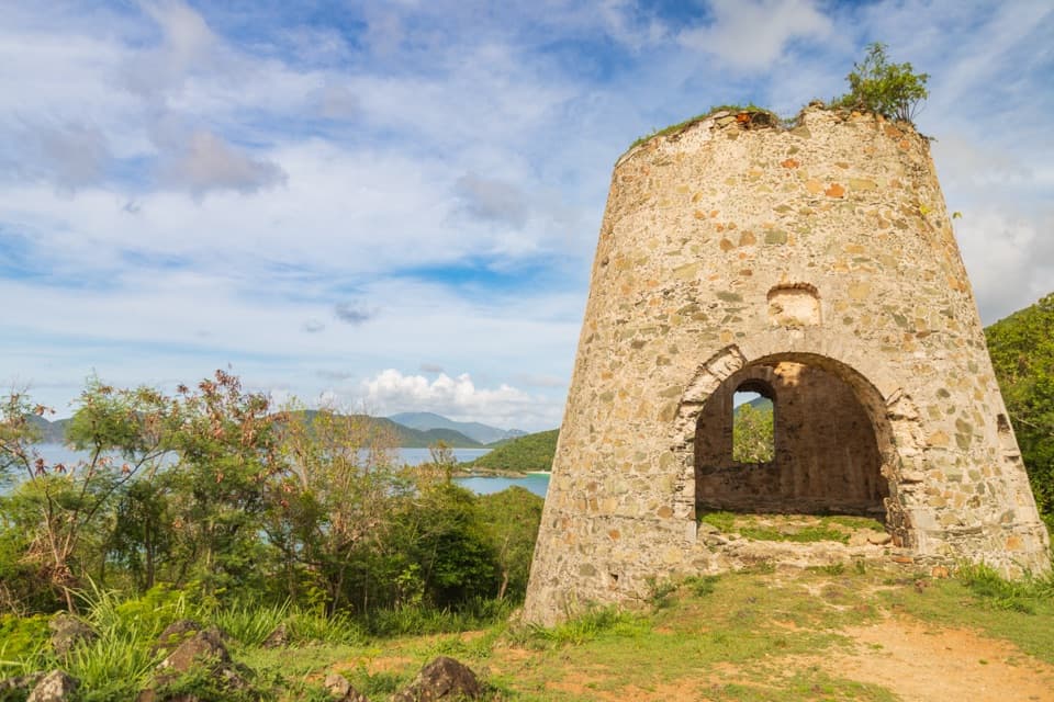 EasyPeace Hill Trail0.2 mi · 15 min · 0.4 mi awayA windmill ruin and wide bay views from a fifteen-minute climb.
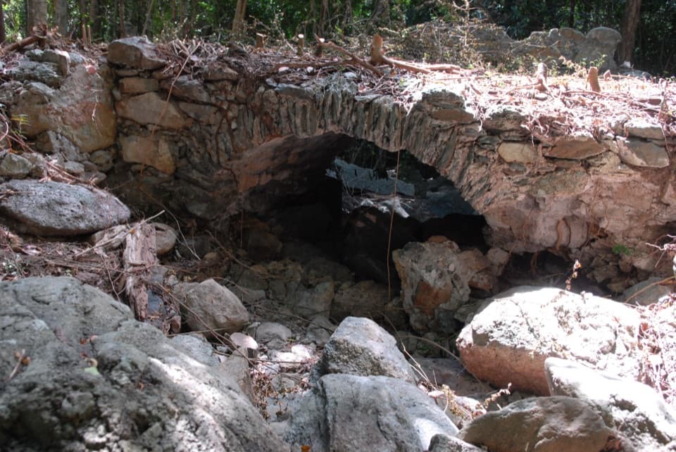 ModerateL'Esperance Trail5.2 mi · 5.5 hr · 0.9 mi awayA rugged old road through estate ruins down to the south shore.
 ModerateWater Catchment Trail0.7 mi · 30 min · 1 mi awayA steep one-way drop to Caneel Bay’s old water basin
 ModerateAmerica Hill Trail1.2 mi · 1.3 hr · 1.1 mi awayShort climb to a ruined Great House and east-facing island views.
 ChallengingCinnamon Bay Trail2 mi · 1.8 hr · 1.1 mi awayA steep old road, shaded forest, and a single bay lookout
 ChallengingPetroglyph Trail3.4 mi · 3 hr · 1.8 mi awayA shaded descent to ancient carvings, with a steep climb back out.
 ModerateMaria Hope Trail0.8 mi · 45 min · 1.8 mi awayA shaded historic road drops through forest to a Maho Bay overlook.
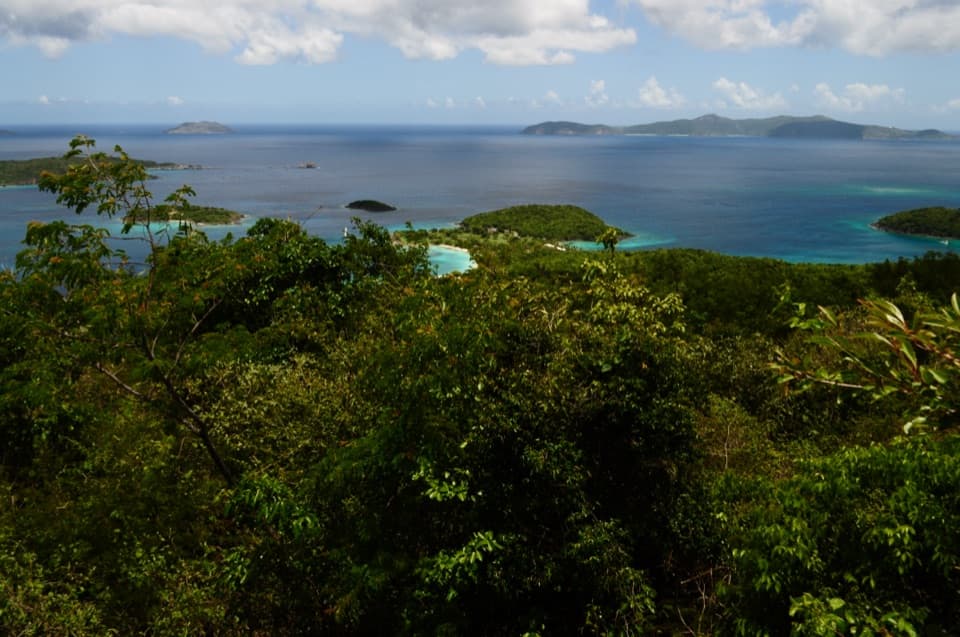 ChallengingCaneel Hill Trail4.3 mi · 3.2 hr · 1.9 mi awayTwo steep hills trade a hard climb for views across both coasts.
 Sight · 0.2 mi awayTrunk Bay OverlookA quick roadside stop for Trunk Bay’s classic beach-and-cay view.
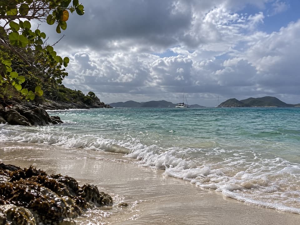 Beach · 0.2 mi awayJumbie BeachA quiet cove for a swim when the north-shore surf settles.
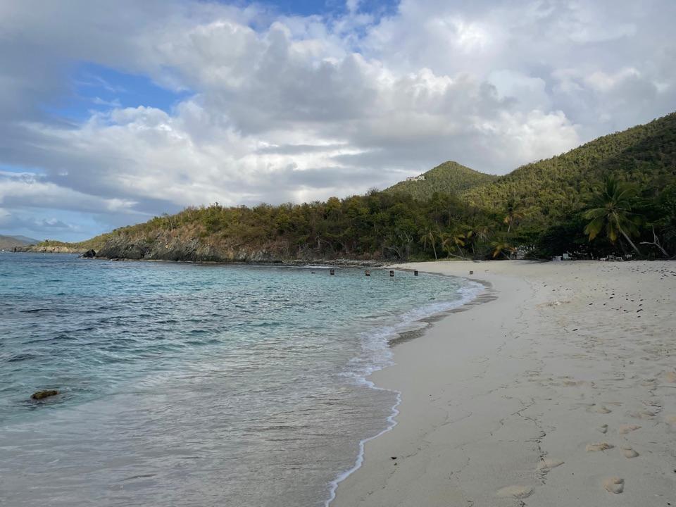 Beach · 0.4 mi awayDenis Bay BeachA quieter north-shore beach with a worthwhile wooded approach.
 Sight · 0.5 mi awayPeace Hill Windmill RuinsA short climb to the stone sugar mill and north-shore views.
 Beach · 0.5 mi awayGibney and Oppenheimer BeachA quieter Hawksnest shore for shade, swimming and reef-edge snorkeling.
 Beach · 0.7 mi awayHawksnest BeachTree shade and three Elkhorn reef fingers make this a worthwhile stop.
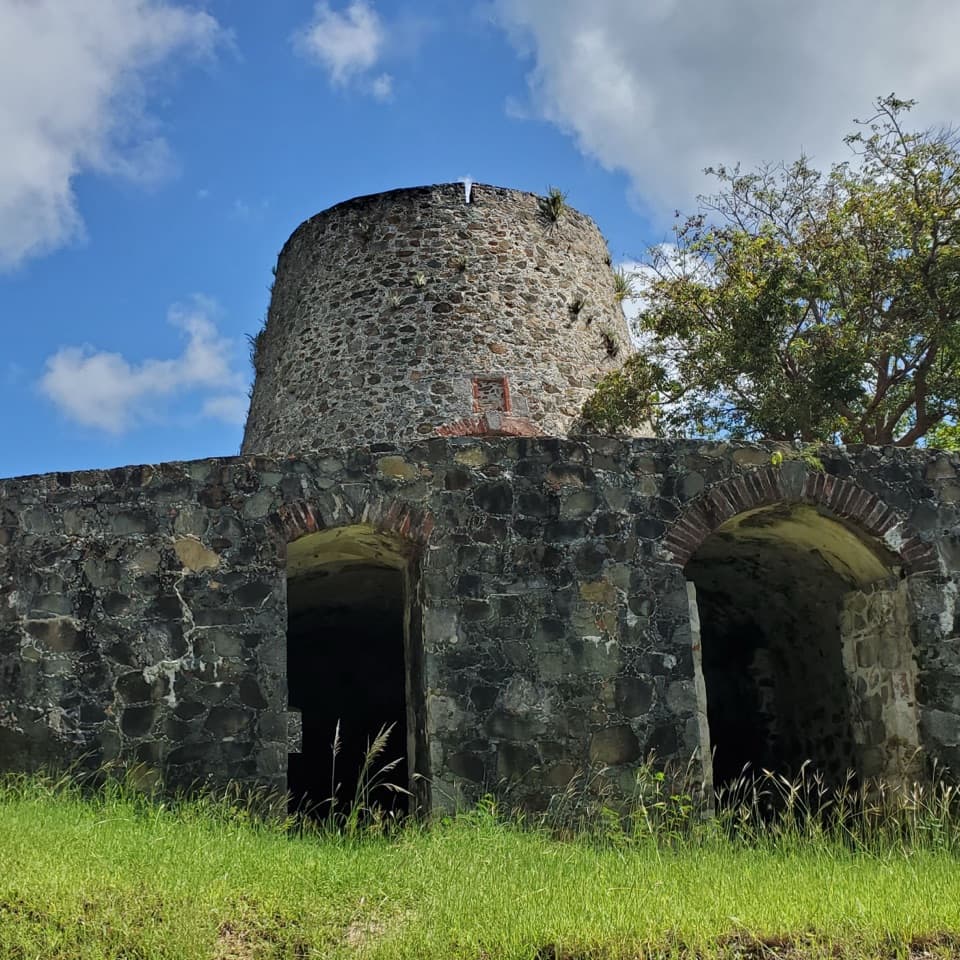 Sight · 0.8 mi awayCatherineberg Plantation RuinsAn intact sugar mill tied to St. John's 1733 rebellion.
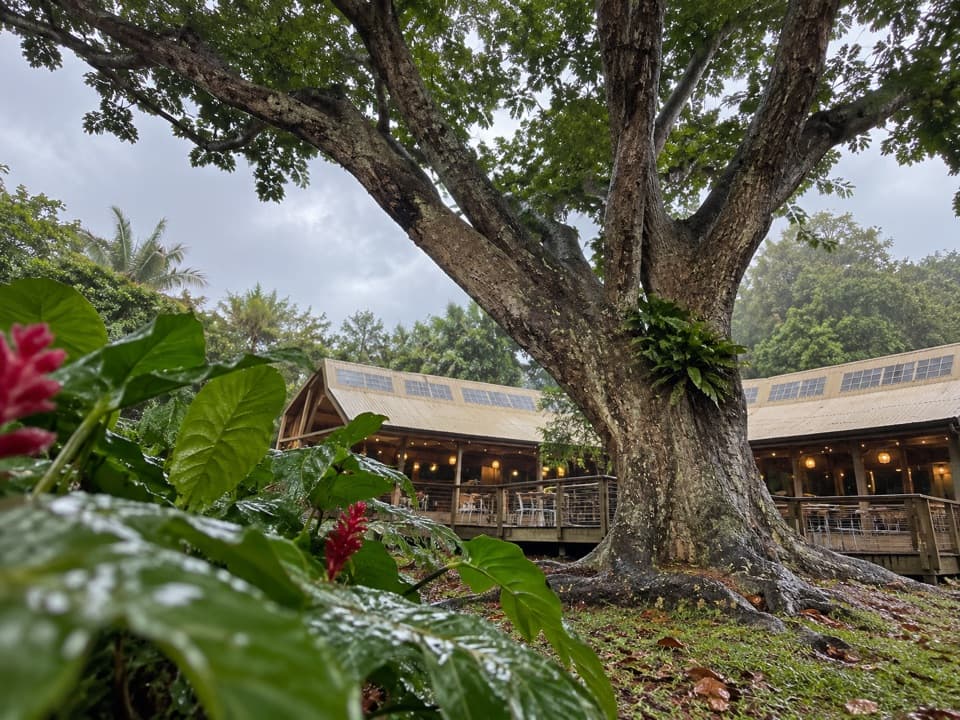 Restaurant · 1 mi awayRain Tree CafeAn open-air cafe with themed dinners and island talks
Parkwolf’s Virgin Islands ranking

The audio tour guide for the drive, plus offline maps, trails, and wildlife heatmaps for when the signal drops.