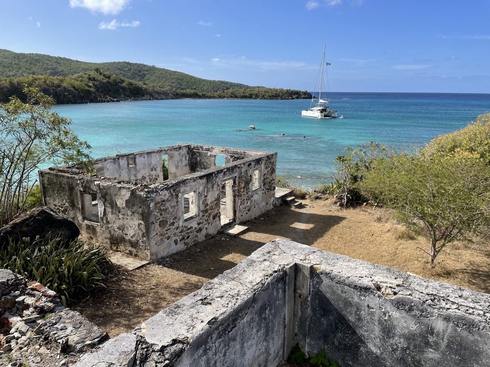
Lameshur Plantation Ruins in Virgin Islands National Park

Sight · Virgin Islands National Park

Lameshur Plantation Ruins

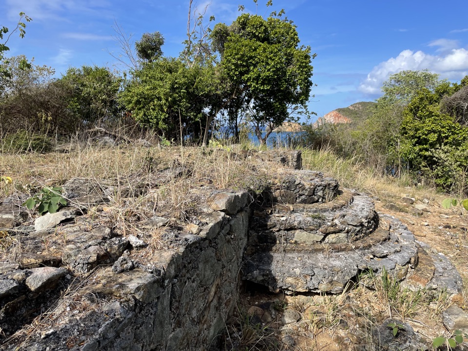
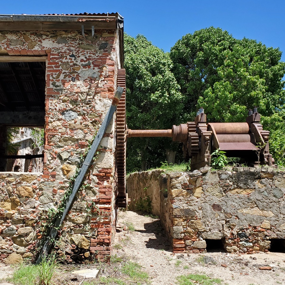
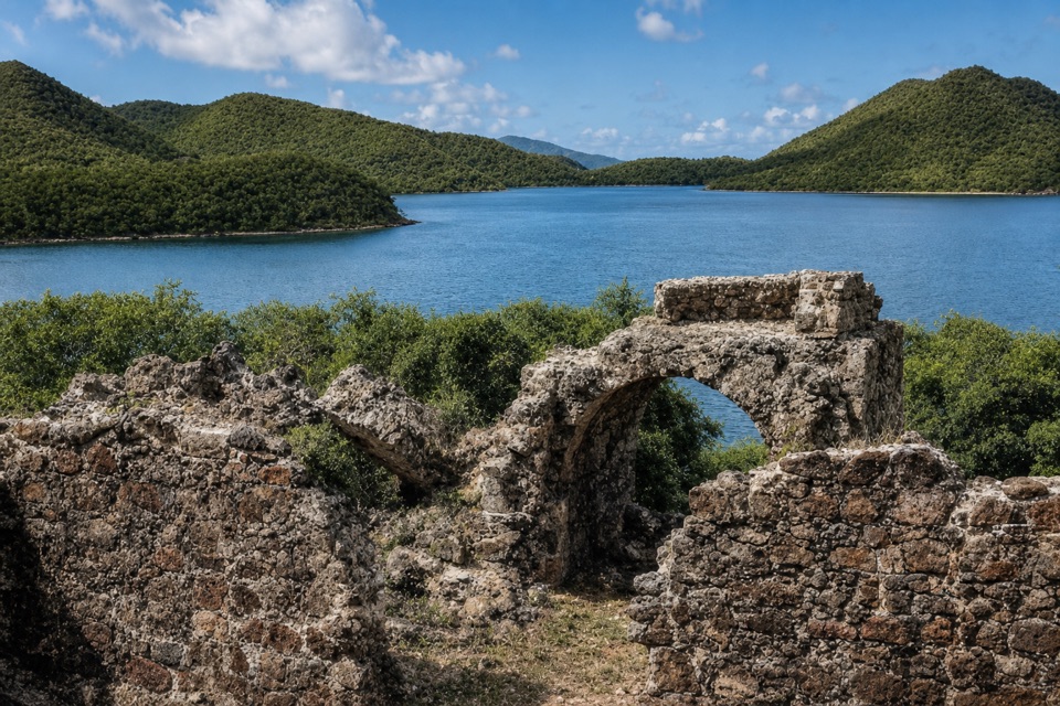
A 60-foot horsemill and bay-oil still reveal centuries of work.

Photo: Wikimedia Commons
Type
Sight
Nearest trail
Right here
Audio stories
4 nearby

Hear the audio tour

Salt Pond Bay and Ram Head

Overview

About Lameshur Plantation Ruins

Why stop

  • The mill platform and oil still make different stages of the estate visible.

Heads up

  • Much of the complex is scattered ruin, and some structures have unclear original uses.

Map

Where it is

Loading the Virgin Islands map
Full map
SightLameshur Plantation Ruins18.32026, -64.72730
Keep this map with you offline in the Parkwolf app

Plan your stop

Before you go

Getting there

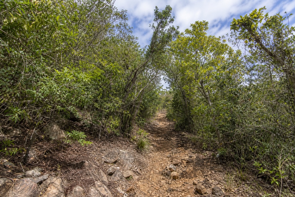
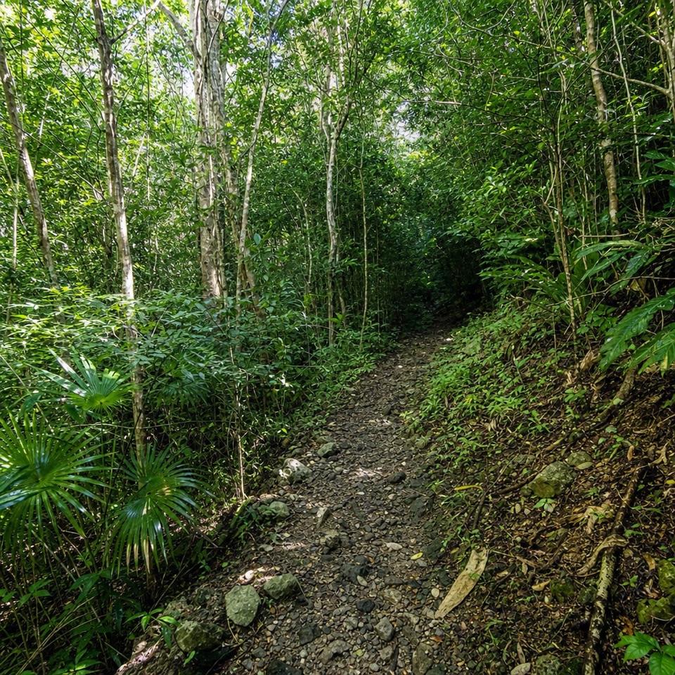
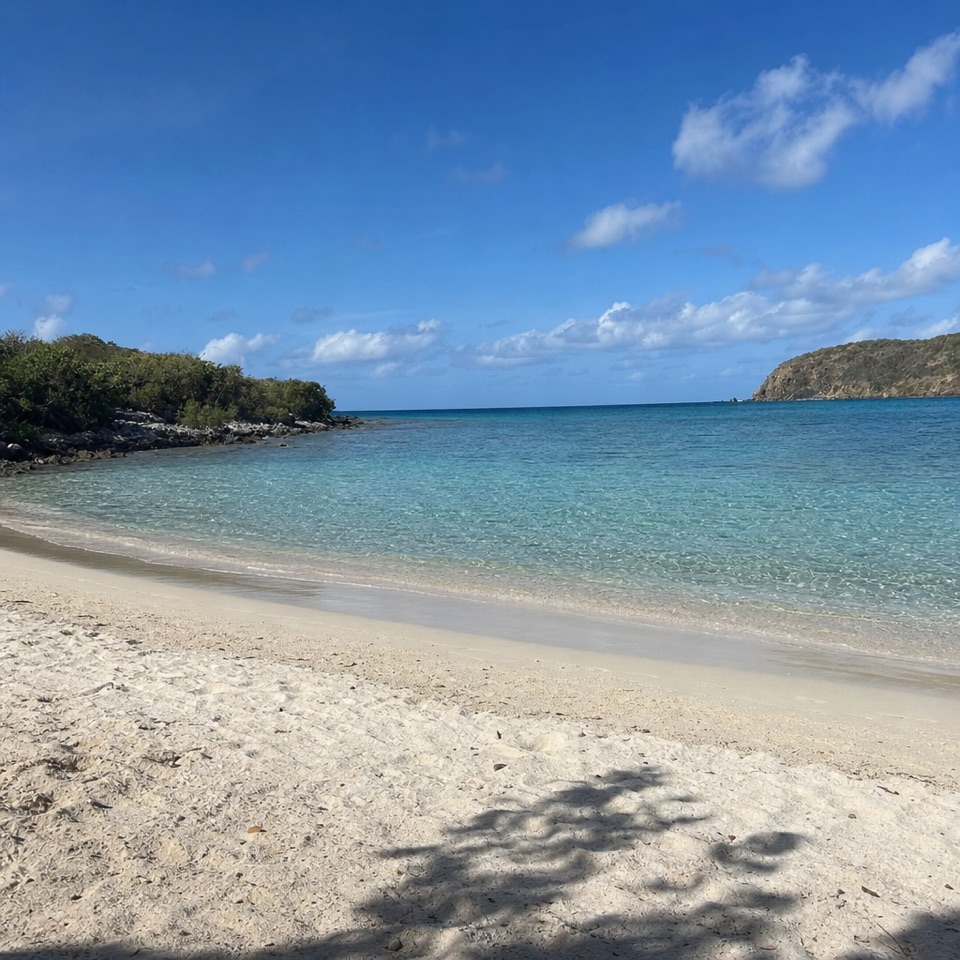
The short trail links the two Lameshur bays, with ruins along the route. The final road to the bays is unpaved, and 4WD is recommended. Picnic tables and grills are associated with the neighboring beach, not confirmed at the ruins. Bring food and drinking water; no service is identified at the ruin site.


3 active Virgin Islands alerts

  • ClosureCaneel Bay: designated areas only; pier closedAt Caneel Bay, stay in designated public areas; other areas remain closed because of present safety risks, and the pier remains closed because it has been deemed unsafe.Official details
  • CautionModerate rip-current risk at U.S. Virgin Islands beachesThe National Weather Service reports a moderate rip-current risk for the U.S. Virgin Islands. - Choose a guarded or more protected beach and swim near a lifeguard.Official details
See all 3 alerts
A park ranger sits on a dash-mounted phone, talking, as Parkwolf’s Tour Guide plays “Army Cutworm Moths: A Grizzly Bear Buffet” on Grand Loop Road below Dunraven Pass in Yellowstone
Parkwolf Tour GuideThe highest, rockiest slopes around here are a summer buffet for grizzly bears.

Virgin Islands Tour Guide

Your drive to Lameshur Plantation Ruins, narrated.

Parkwolf is a GPS audio tour guide for Virgin Islands National Park. As you drive, it chimes in with what’s ahead: hidden gems, upcoming stops, history, geology, and wildlife, right through your car’s speakers.

Recorded for this area

Salt Pond Bay and Ram Head
0:00 / 0:34
“Salt Pond Bay's parking area is coming up, with a rocky quarter-mile walk down to the beach. The sandy middle gives you a gentle water entry, while the rocky edges are the more interesting snorkeling.”

Plays on the road 1.4 mi from Lameshur Plantation Ruins in the Parkwolf Virgin Islands Tour Guide.

More stories near here in the app

  • The Fish That Make Sand
  • A Cactus Comes of Age
  • Corals Beneath the Mangroves
  • Reef Bay Trailhead and Petroglyphs
  • 26 audio storiesacross Virgin Islands’s roads, triggered by GPS as you drive
  • Wildlife heatmapsfor White-tailed Deer, Green Iguana, Brown Pelican, and 13 more
  • Works offlinemaps, 22 trails, 42 places, and audio download before you lose signal
  • CarPlay readysimple controls built for the drive
★★★★★
“Fantastic app with many points of information… It’s great to just turn on while you’re driving and it gives you an audio tour of the national Park. We love it!!!!”
JMJamesApp Store review
Download Parkwolf on the App StoreGet Parkwolf on Google Play

4.7 from 8,600+ ratings

Guide

More about Lameshur Plantation Ruins

The ruins by Little Lameshur BayLameshur Plantation is a small group of stone and plaster estate ruins behind Little Lameshur…

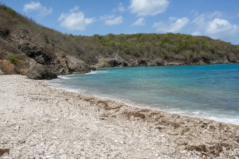
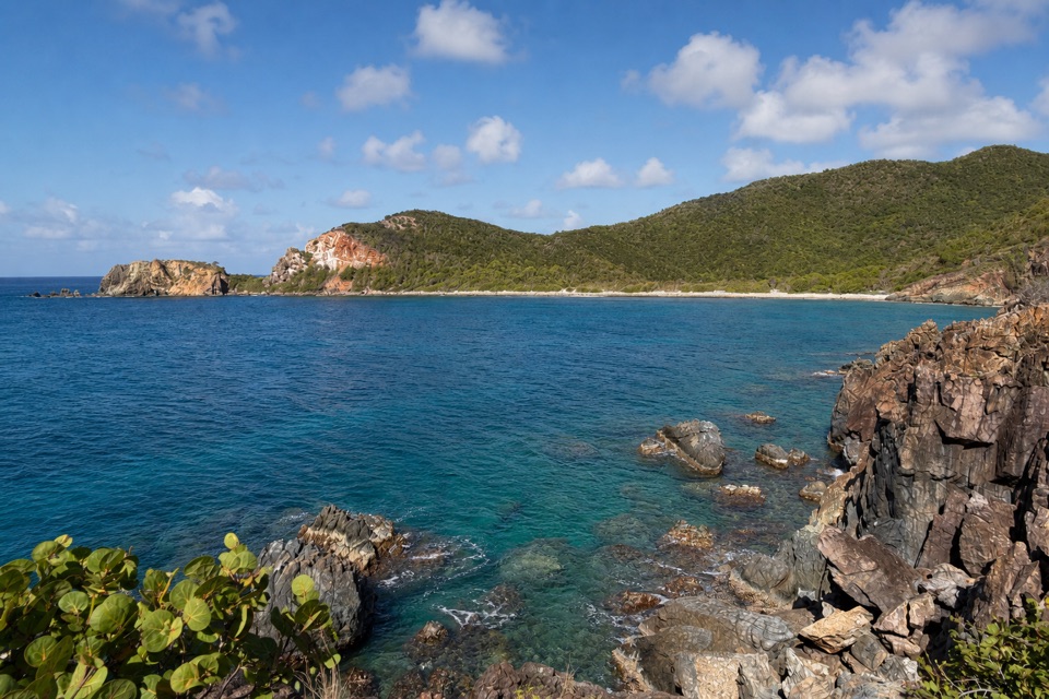
Lameshur Plantation is a small group of stone and plaster estate ruins behind Little Lameshur Bay. You see pieces of a working plantation landscape, not one intact sugar mill or a furnished house. If you are already taking the south-shore drive, this is a worthwhile short history stop. A 0.3-mile trail between Great and Little Lameshur Bays passes stone ruins along the way.

Look for the machineryOne clear industrial trace is a roughly 60-foot circular horsemill platform, with fragments of…

One clear industrial trace is a roughly 60-foot circular horsemill platform, with fragments of its retaining wall and a surviving section of the cane-juice gutter. The sugar factory stood just 17 feet to its south. Another distinctive structure is a bay-oil still with two round pots and a 14-foot chimney. Some nearby ruins have lost their original purpose, so take the site as a collection of pieces rather than a fully legible mill.

One estate, several economiesCultivation here goes back to the early 1700s.

Cultivation here goes back to the early 1700s. The historical record describes basic sugar-making equipment by 1780, then calls the estate a cotton plantation in 1789. Later uses included sugar cane, cattle, and, around 1900, bay and lime oil. After Ingjald C. Mourier acquired the consolidated estate in 1832 and developed it for cane, the enslaved population grew from 22 to about 66. By 1847, only 24 of the estate's 235 acres were planted in cane. That changing story is why not every surviving wall can be assigned to one clear stage.

Wildlife

Wildlife in Virgin Islands

All Virgin Islands wildlife maps

Sighting maps show where each species has been reported across Virgin Islands. Wildlife moves, so no sighting is guaranteed.

Keep exploring

Near Lameshur Plantation Ruins

See it all on the map

Trails nearby

More stops nearby

Parkwolf’s Virgin Islands ranking

Top sights in Virgin Islands

All 42 places
  1. 1Trunk Bay BeachBeach
  2. 2Maho Bay BeachBeach
  3. 3Annaberg Sugar PlantationSight
  4. 4Cinnamon Bay BeachBeach
  5. 5Waterlemon CaySight
  6. 6Reef Bay PetroglyphsSight

Take Parkwolf to Virgin Islands.

The audio tour guide for the drive, plus offline maps, trails, and wildlife heatmaps for when the signal drops.

4.7 from 8,600+ ratings

Download Parkwolf on the App StoreGet Parkwolf on Google Play