Reef Bay Petroglyphs in Virgin Islands National Park

#6 of 38 sights in Virgin Islands

Sight · Virgin Islands National Park

Reef Bay Petroglyphs

Taíno faces and a spring-fed pool reward the long hike.

Photo: Wikimedia Commons
Type
Sight
Nearest trail
1.1 mi
Audio stories
7 nearby
  • Trailhead
  • Parking

Hear the audio tour

Reef Bay Trailhead and Petroglyphs

Overview

About Reef Bay Petroglyphs

Why stop

  • Distinctive Taíno rock art at a reflective pool
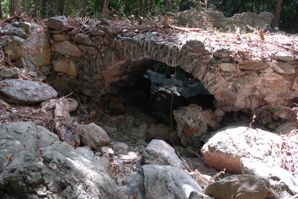
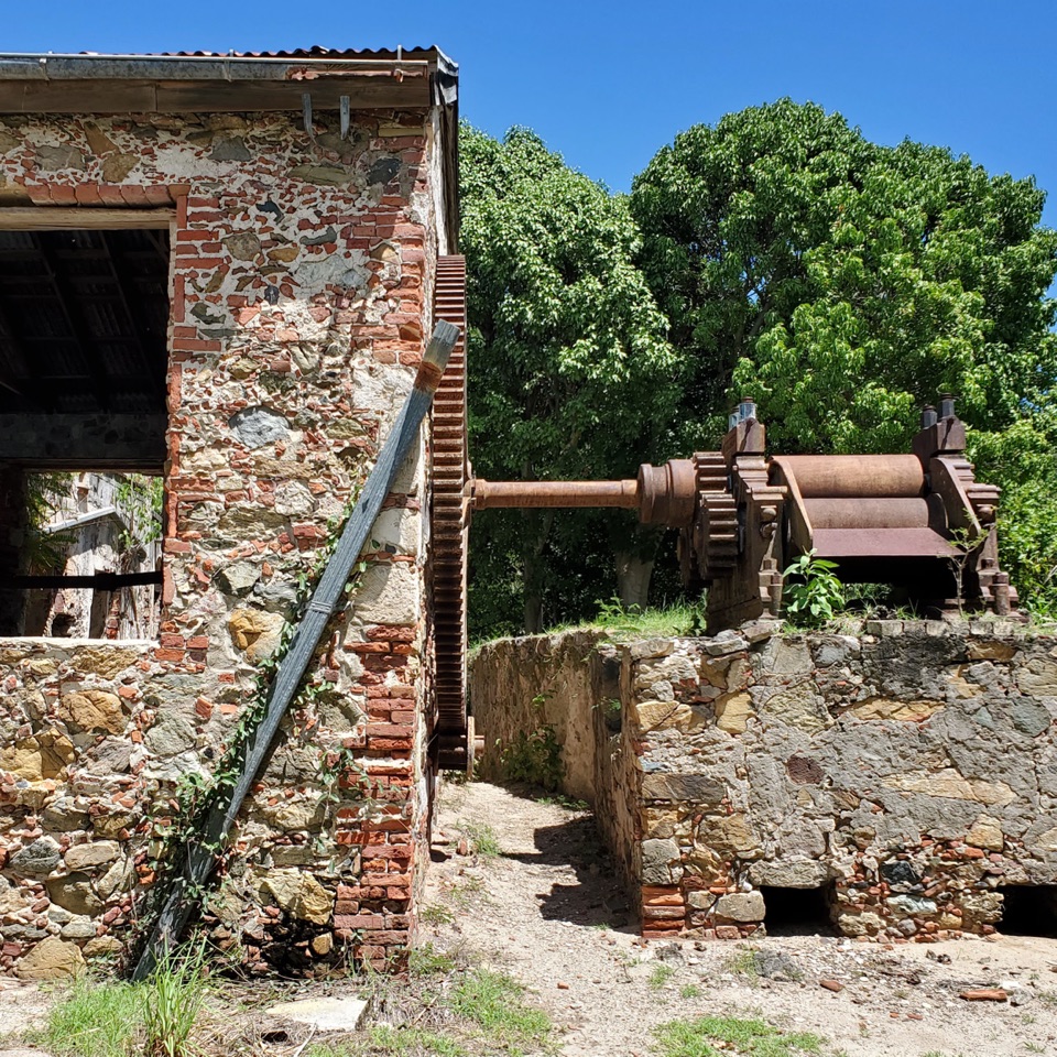
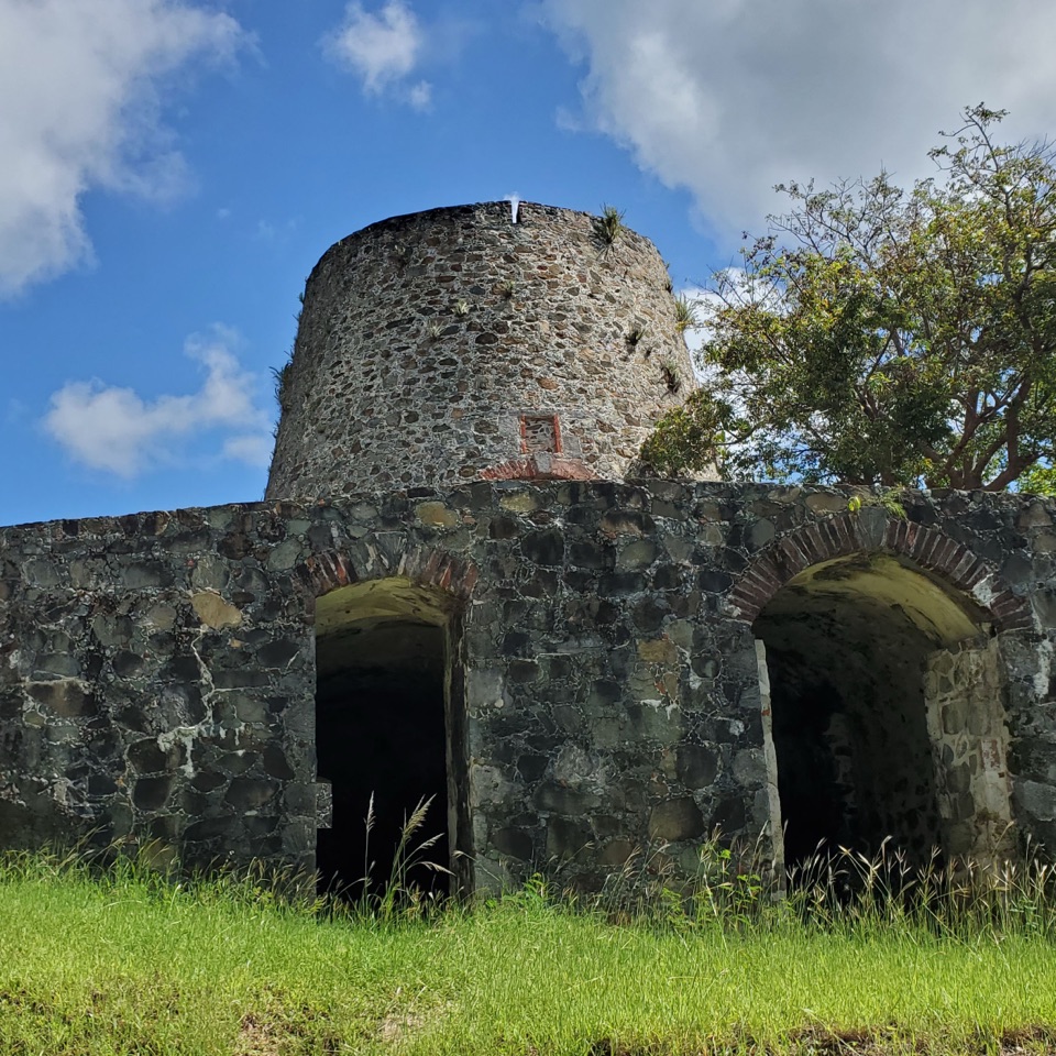
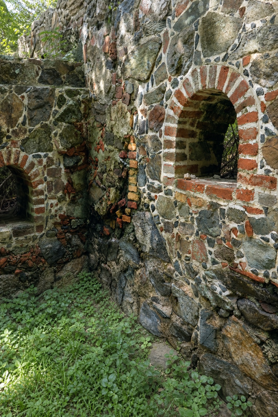
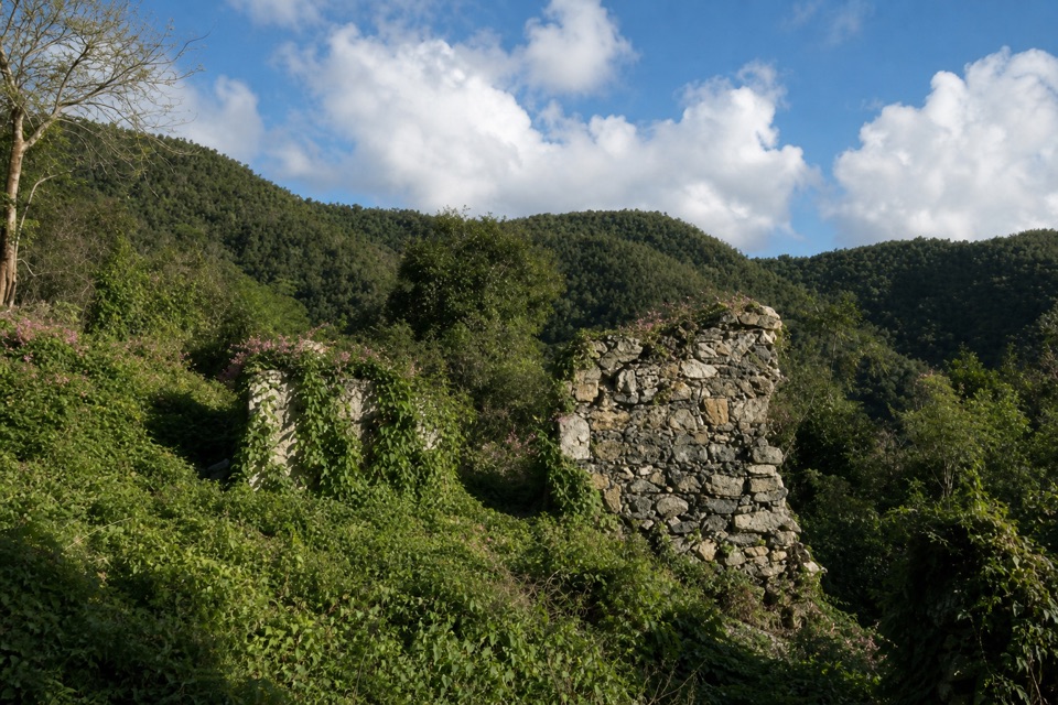
  • The hike also passes plantation-era stonework

Heads up

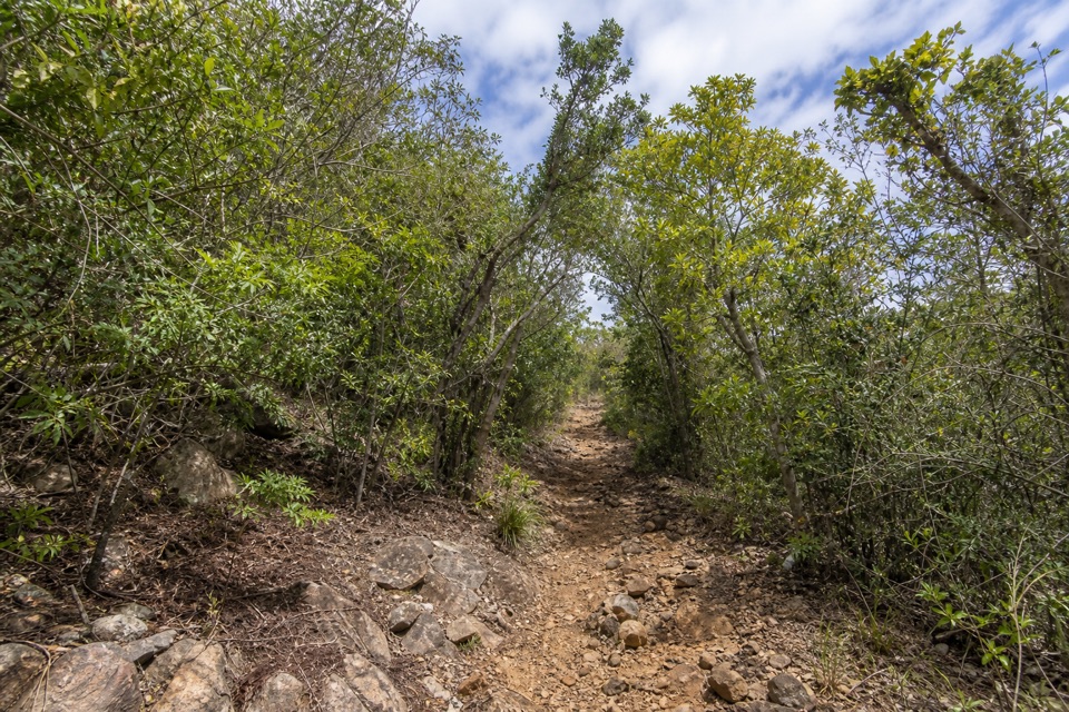
  • A steep, rocky trail stands between the road and the carvings

Map

Where it is

Loading the Virgin Islands map
Full map
SightReef Bay Petroglyphs18.33214, -64.74459
Keep this map with you offline in the Parkwolf app

Plan your stop

Before you go

3 active Virgin Islands alerts

  • ClosureCaneel Bay: designated areas only; pier closedAt Caneel Bay, stay in designated public areas; other areas remain closed because of present safety risks, and the pier remains closed because it has been deemed unsafe.Official details
  • CautionModerate rip-current risk at U.S. Virgin Islands beachesThe National Weather Service reports a moderate rip-current risk for the U.S. Virgin Islands. - Choose a guarded or more protected beach and swim near a lifeguard.Official details

See all 3 alerts
A park ranger sits on a dash-mounted phone, talking, as Parkwolf’s Tour Guide plays “Army Cutworm Moths: A Grizzly Bear Buffet” on Grand Loop Road below Dunraven Pass in Yellowstone
Parkwolf Tour GuideThe highest, rockiest slopes around here are a summer buffet for grizzly bears.

Virgin Islands Tour Guide

Your drive to Reef Bay Petroglyphs, narrated.

Parkwolf is a GPS audio tour guide for Virgin Islands National Park. As you drive, it chimes in with what’s ahead: hidden gems, upcoming stops, history, geology, and wildlife, right through your car’s speakers.

Recorded for this place

Reef Bay Trailhead and Petroglyphs
0:00 / 0:23
“You're approaching the Reef Bay trailhead, the start of the hike to the petroglyphs. Taíno faces and other carvings sit above a freshwater pool; look across the water for a photo of the rock art and its reflection.”

Plays as you drive up to Reef Bay Petroglyphs in the Parkwolf Virgin Islands Tour Guide.

More stories near here in the app

  • L'Esperance Trail to Reef Bay
  • Catherineberg Plantation Ruins
  • Cinnamon Bay Beach and Nature Loop
  • Watch the Bananaquit’s Beak
  • 26 audio storiesacross Virgin Islands’s roads, triggered by GPS as you drive
  • Wildlife heatmapsfor White-tailed Deer, Green Iguana, Brown Pelican, and 13 more
  • Works offlinemaps, 22 trails, 42 places, and audio download before you lose signal
  • CarPlay readysimple controls built for the drive
★★★★★
“Fantastic app with many points of information… It’s great to just turn on while you’re driving and it gives you an audio tour of the national Park. We love it!!!!”
JMJamesApp Store review
Download Parkwolf on the App StoreGet Parkwolf on Google Play

4.7 from 8,600+ ratings

Guide

More about Reef Bay Petroglyphs

Rock art below the waterfallReef Bay Petroglyphs are carvings cut into blue basalt beside a spring-fed pool at the foot of…

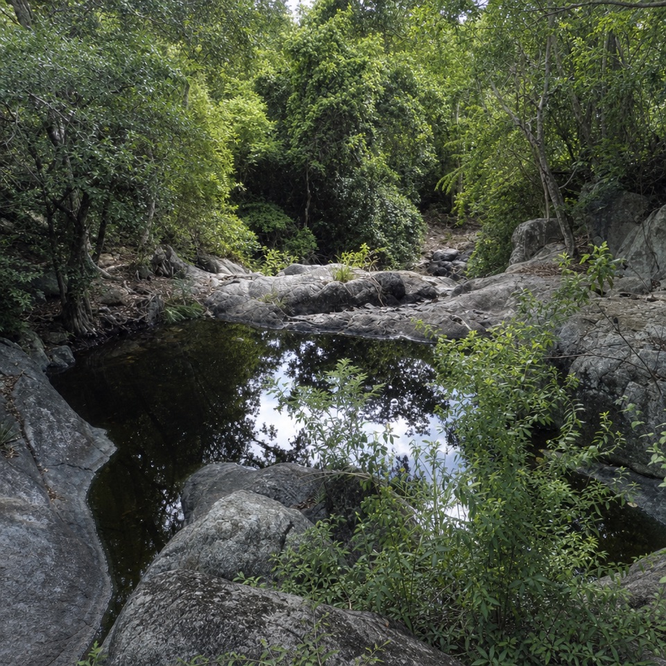
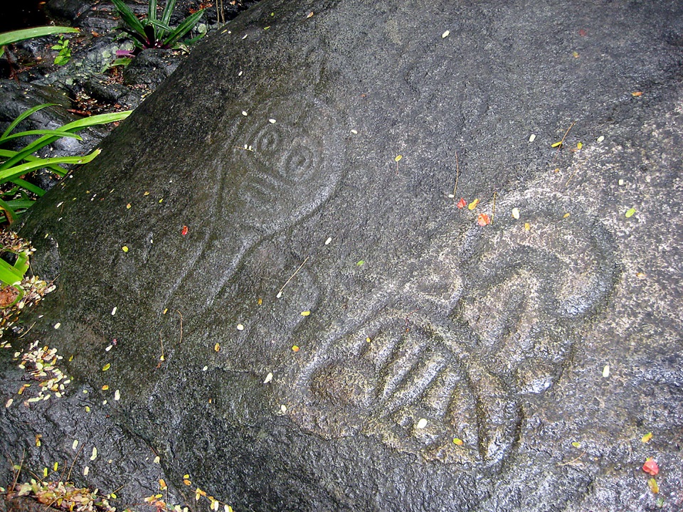
Reef Bay Petroglyphs are carvings cut into blue basalt beside a spring-fed pool at the foot of the valley’s highest waterfall. Faces, groups of dots and other marks spread across a rock panel roughly 20 feet wide; the pool reflects it. The site lies partway along the Reef Bay Trail, so this is a backcountry hike rather than a roadside stop. Come for unusual Taíno rock art and its setting, and plan for a strenuous walk back out.

On the Reef Bay TrailThe trailhead is near mile marker 5 on Centerline Road.

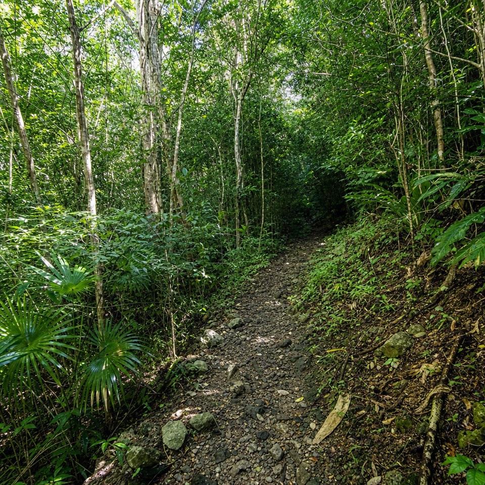
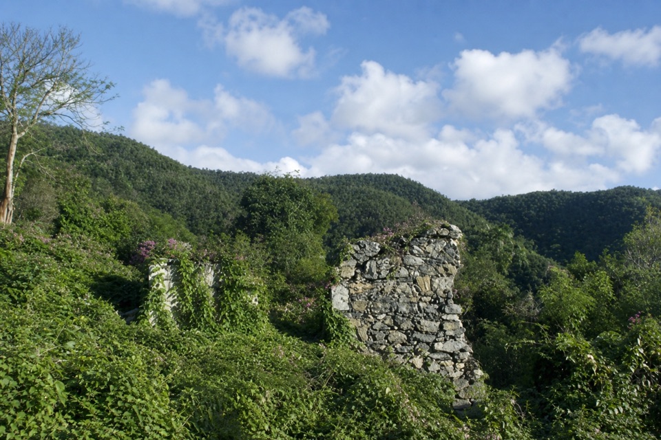
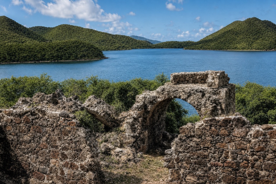
The trailhead is near mile marker 5 on Centerline Road. The trail descends through old forest past plantation ruins and stone walls before reaching the waterfall and carvings, then continues to Reef Bay Beach. The full route to the beach is about three miles one way, with the petroglyphs along the way. The return climbs roughly 900 feet and takes longer uphill. Expect steep, uneven, rocky footing that can be slippery even when dry; wear sturdy closed-toe shoes and carry plenty of water and food.

What the markings may meanArchaeological interpretation connects the carvings to Taíno culture as it developed between…

Archaeological interpretation connects the carvings to Taíno culture as it developed between about AD 900 and the 1490s. That is an estimated period, not a direct date, and the exact meaning of the images is unsettled. Some faces are read as ancestral imagery. Dot clusters near the water resemble simple faces, while a cross-like mark at the pool’s edge may represent the cardinal directions or an ancestral body.

The pool and changing waterThe pool is spring-fed and can reflect a broad panel of carvings, but the waterfall’s flow and…

The pool is spring-fed and can reflect a broad panel of carvings, but the waterfall’s flow and the pool level change with rainfall. Rain can bring a stronger cascade and muddy trail sections; higher water may hide the lowest carvings. In drier spells the falls may be slight or dry, so the rock art is the lasting reason to make the walk.

Look across the poolFor a photo, take in the carved rock above the water and its reflection from across the pool.

For a photo, take in the carved rock above the water and its reflection from across the pool. From that distance the faces can look small, so a little phone zoom helps bring out their shapes. Do not chalk or scratch the carvings: it permanently damages the stone.

Wildlife

Wildlife in Virgin Islands

All Virgin Islands wildlife maps

Sighting maps show where each species has been reported across Virgin Islands. Wildlife moves, so no sighting is guaranteed.

Keep exploring

Near Reef Bay Petroglyphs

See it all on the map

Trails nearby

More stops nearby

Parkwolf’s Virgin Islands ranking

Top sights in Virgin Islands

All 42 places
  1. 1Trunk Bay BeachBeach
  2. 2Maho Bay BeachBeach
  3. 3Annaberg Sugar PlantationSight
  4. 4Cinnamon Bay BeachBeach
  5. 5Waterlemon CaySight
  6. 7Trunk Bay OverlookSight

Take Parkwolf to Virgin Islands.

The audio tour guide for the drive, plus offline maps, trails, and wildlife heatmaps for when the signal drops.

4.7 from 8,600+ ratings

Download Parkwolf on the App StoreGet Parkwolf on Google Play