Drunk Bay in Virgin Islands National Park

Beach · Virgin Islands National Park

Drunk Bay

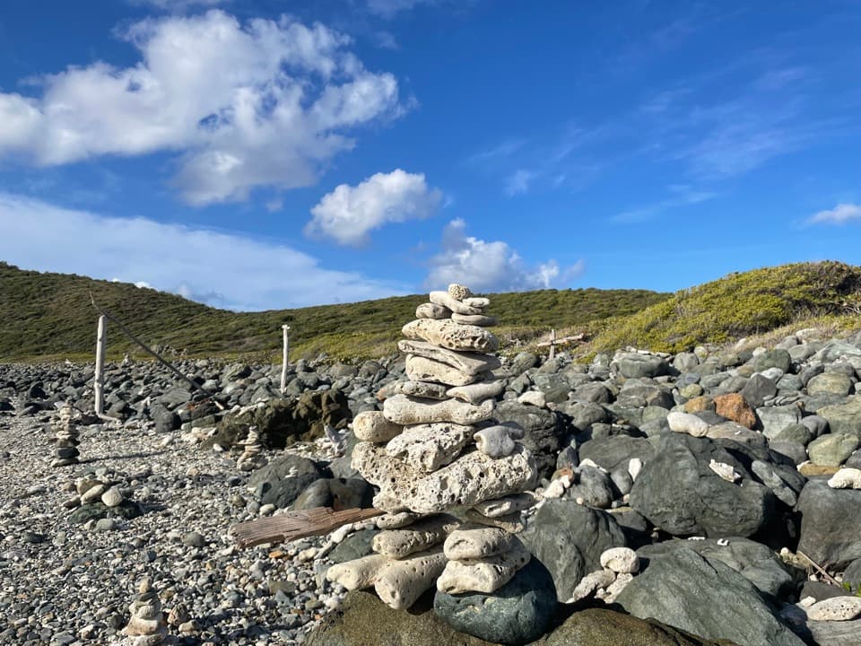
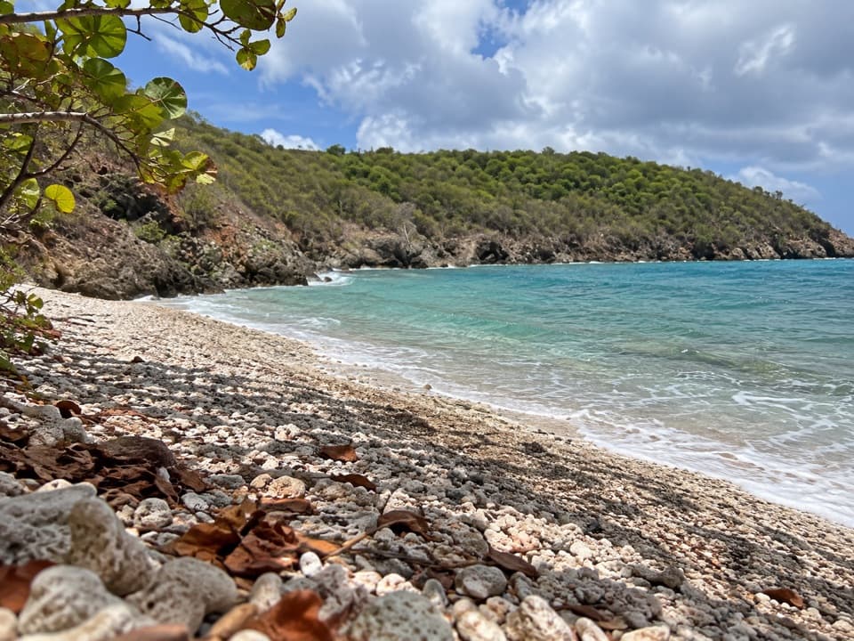
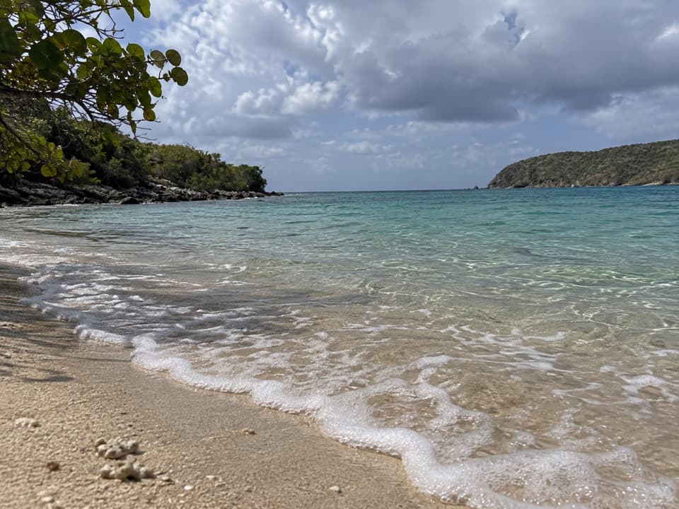
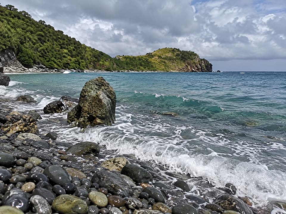
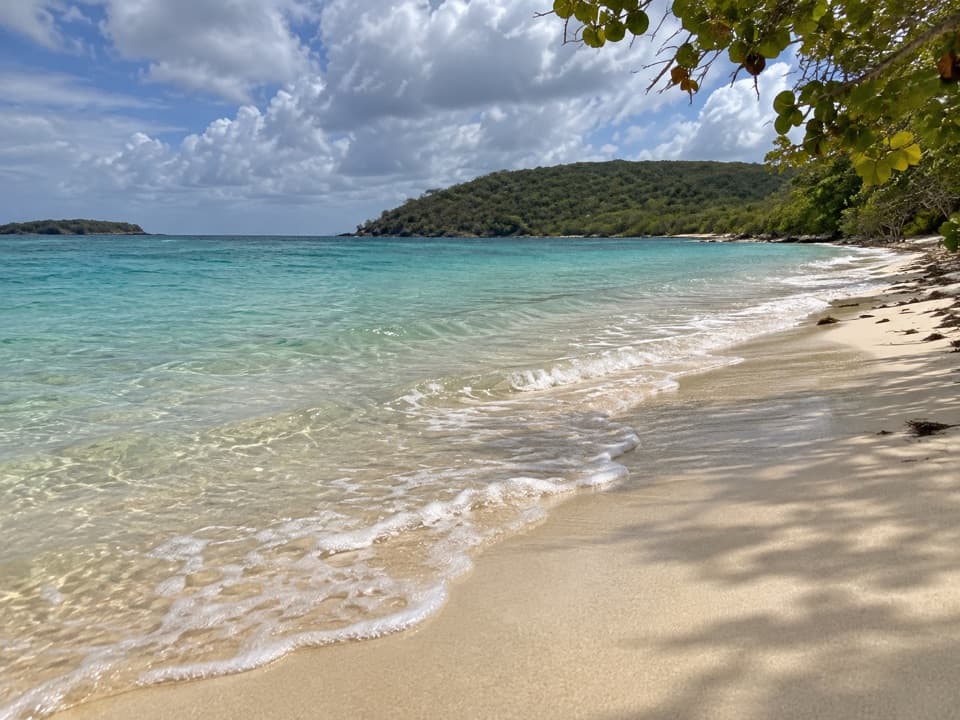
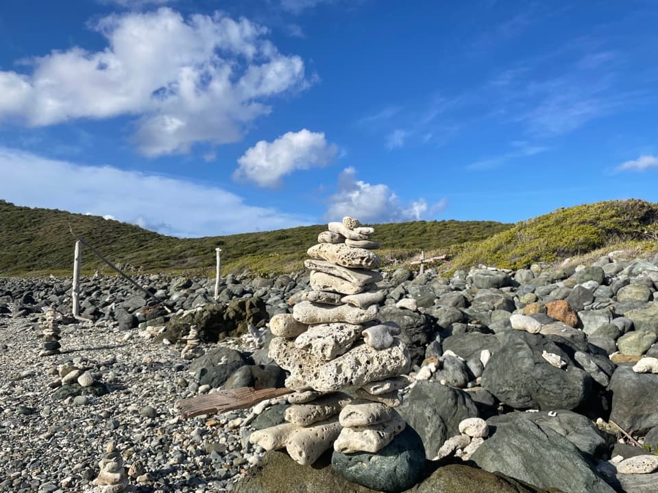
A rough, rocky shore with surf and strange stone figures

Photo: Public Domain
Type
Beach
Nearest trail
0.6 mi
Audio stories
3 nearby
  • Scenic viewpoint

Hear the audio tour

Salt Pond Bay and Ram Head

Overview

About Drunk Bay

Why stop

  • Distinctive rocky shoreline and visitor-made figures.

Heads up

  • Strong surf and rocky footing make this a poor swimming stop.

Map

Where it is

Loading the Virgin Islands map
Full map
BeachDrunk Bay18.30829, -64.70041
Keep this map with you offline in the Parkwolf app

Plan your stop

Before you go

1 active Virgin Islands alert

  • ClosureCaneel Bay restricted areas and closed pierAt Caneel Bay, use only designated public areas; other areas and the pier remain closed. - Areas beyond the public areas remain closed because of present safety risks.Official details

Virgin Islands alerts
A park ranger sits on a dash-mounted phone, talking, as Parkwolf’s Tour Guide plays “Army Cutworm Moths: A Grizzly Bear Buffet” on Grand Loop Road below Dunraven Pass in Yellowstone
Parkwolf Tour GuideThe highest, rockiest slopes around here are a summer buffet for grizzly bears.

Virgin Islands Tour Guide

Your drive to Drunk Bay, narrated.

Parkwolf is a GPS audio tour guide for Virgin Islands National Park. As you drive, it chimes in with what’s ahead: hidden gems, upcoming stops, history, geology, and wildlife, right through your car’s speakers.

Recorded for this place

Salt Pond Bay and Ram Head
0:00 / 0:34
“Salt Pond Bay's parking area is coming up, with a rocky quarter-mile walk down to the beach. The sandy middle gives you a gentle water entry, while the rocky edges are the more interesting snorkeling.”

Plays as you drive up to Drunk Bay in the Parkwolf Virgin Islands Tour Guide.

More stories near here in the app

  • A Cactus Comes of Age
  • The Fish That Make Sand
  • Corals Beneath the Mangroves
  • North and South Haulover Beaches
  • 26 audio storiesacross Virgin Islands’s roads, triggered by GPS as you drive
  • Wildlife heatmapsfor White-tailed Deer, Green Iguana, Brown Pelican, and 13 more
  • Works offlinemaps, 22 trails, 42 places, and audio download before you lose signal
  • CarPlay readysimple controls built for the drive
★★★★★
“Fantastic app with many points of information… It’s great to just turn on while you’re driving and it gives you an audio tour of the national Park. We love it!!!!”
JMJamesApp Store review
Download Parkwolf on the App StoreGet Parkwolf on Google Play

4.7 from 8,600+ ratings

Guide

More about Drunk Bay

What you're going forDrunk Bay is a rough, rocky shoreline on St.

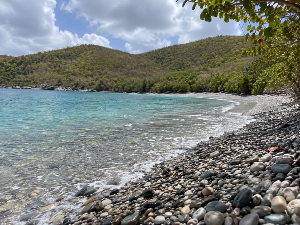
Drunk Bay is a rough, rocky shoreline on St. John's southeast coast, reached by a short walk from Salt Pond Bay. Come for the open water, surf and unusual shoreline figures, not for swimming or soft sand: most of the shore is rock, and the surf can be strong.

Take the left-hand branchStart at Salt Pond Bay and follow the path around the pond to the marked split.

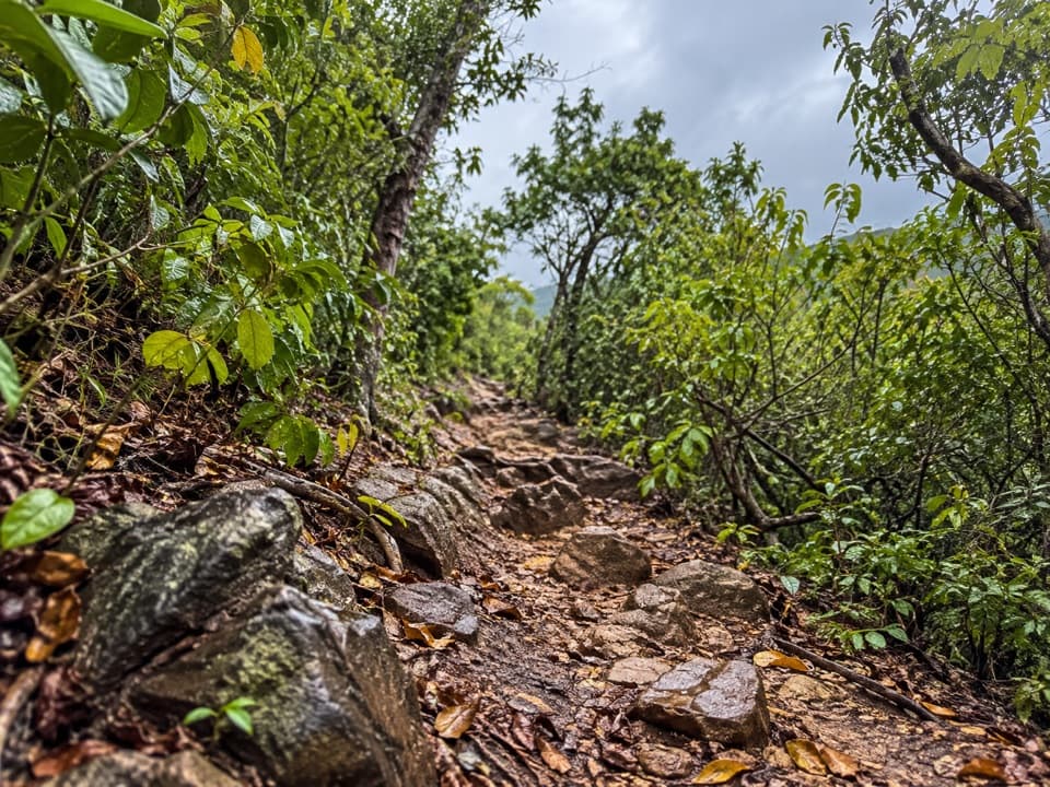
Start at Salt Pond Bay and follow the path around the pond to the marked split. Take the left branch for Drunk Bay; the right continues toward Ram Head. It's an easy side trip to pair with Salt Pond, but the extra walk ends at a rough shore rather than a sandy swimming beach.

The shore and its figuresPale coral pieces and darker rocks cover the water's edge.

Pale coral pieces and darker rocks cover the water's edge. Visitors have arranged some of the loose pieces into figures; enjoy them, but leave the rocks and coral where they are. Looking out to sea, Rams Head is on the right and Nanny Point on the left. For a photo, keep the rocky foreground and breaking surf in frame; that gives the view its rough character.

Wildlife

Wildlife in Virgin Islands

All Virgin Islands wildlife maps

Sighting maps show where each species has been reported across Virgin Islands. Wildlife moves, so no sighting is guaranteed.

Keep exploring

Near Drunk Bay

See it all on the map

Trails nearby

More stops nearby

Parkwolf’s Virgin Islands ranking

Top sights in Virgin Islands

All 42 places
  1. 1Trunk Bay BeachBeach
  2. 2Maho Bay BeachBeach
  3. 3Annaberg Sugar PlantationSight
  4. 4Cinnamon Bay BeachBeach
  5. 5Waterlemon CaySight
  6. 6Reef Bay PetroglyphsSight

Take Parkwolf to Virgin Islands.

The audio tour guide for the drive, plus offline maps, trails, and wildlife heatmaps for when the signal drops.

4.7 from 8,600+ ratings

Download Parkwolf on the App StoreGet Parkwolf on Google Play