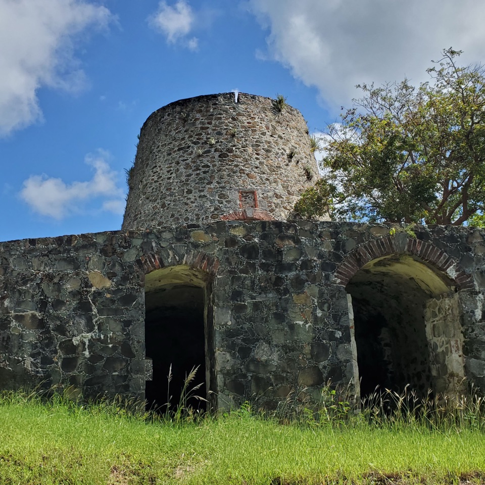
Catherineberg Plantation Ruins in Virgin Islands National Park

Sight · Virgin Islands National Park

Catherineberg Plantation Ruins

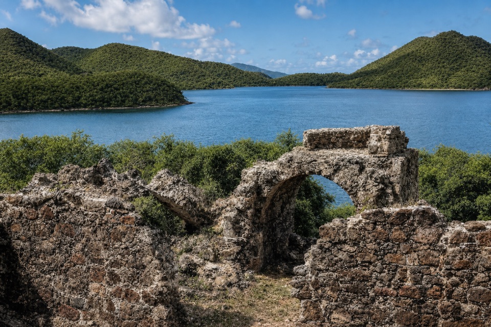
An intact sugar mill tied to St. John's 1733 rebellion.

Photo: National Park Service
Type
Sight
Nearest trail
0.2 mi
Audio stories
14 nearby
  • Parking
  • #15 of 38 sights

Hear the audio tour

Catherineberg Plantation Ruins

Overview

About Catherineberg Plantation Ruins

Why stop

  • A well-preserved windmill and sugar works make the estate easy to picture.

Heads up

  • Rough uphill access and limited on-site interpretation.

Map

Where it is

Loading the Virgin Islands map
Full map
SightCatherineberg Plantation Ruins18.34434, -64.76096
Keep this map with you offline in the Parkwolf app

Plan your stop

Before you go

3 active Virgin Islands alerts

  • ClosureCaneel Bay: designated areas only; pier closedAt Caneel Bay, stay in designated public areas; other areas remain closed because of present safety risks, and the pier remains closed because it has been deemed unsafe.Official details
  • CautionModerate rip-current risk at U.S. Virgin Islands beachesThe National Weather Service reports a moderate rip-current risk for the U.S. Virgin Islands. - Choose a guarded or more protected beach and swim near a lifeguard.Official details

See all 3 alerts
A park ranger sits on a dash-mounted phone, talking, as Parkwolf’s Tour Guide plays “Army Cutworm Moths: A Grizzly Bear Buffet” on Grand Loop Road below Dunraven Pass in Yellowstone
Parkwolf Tour GuideThe highest, rockiest slopes around here are a summer buffet for grizzly bears.

Virgin Islands Tour Guide

Your drive to Catherineberg Plantation Ruins, narrated.

Parkwolf is a GPS audio tour guide for Virgin Islands National Park. As you drive, it chimes in with what’s ahead: hidden gems, upcoming stops, history, geology, and wildlife, right through your car’s speakers.

Recorded for this place

Catherineberg Plantation Ruins
0:00 / 0:31
“You're approaching the road up to Catherineberg Plantation Ruins, where a round stone windmill stands above the old sugar works.”

Plays as you drive up to Catherineberg Plantation Ruins in the Parkwolf Virgin Islands Tour Guide.

More stories near here in the app

  • L'Esperance Trail to Reef Bay
  • Cinnamon Bay Beach and Nature Loop
  • Trunk Bay Beach and Overlook
  • Jumbie Beach
  • 26 audio storiesacross Virgin Islands’s roads, triggered by GPS as you drive
  • Wildlife heatmapsfor White-tailed Deer, Green Iguana, Brown Pelican, and 13 more
  • Works offlinemaps, 22 trails, 42 places, and audio download before you lose signal
  • CarPlay readysimple controls built for the drive
★★★★★
“Fantastic app with many points of information… It’s great to just turn on while you’re driving and it gives you an audio tour of the national Park. We love it!!!!”
JMJamesApp Store review
Download Parkwolf on the App StoreGet Parkwolf on Google Play

4.7 from 8,600+ ratings

Guide

More about Catherineberg Plantation Ruins

A short sugar-works stopCatherineberg Plantation is a small group of Danish colonial sugar works inland from Centerline…

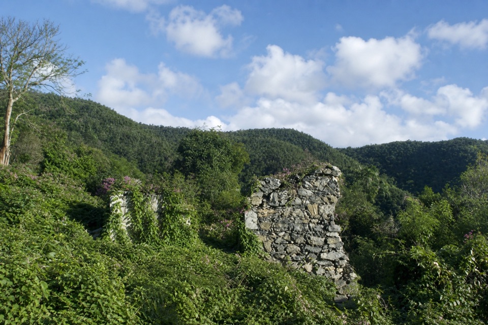
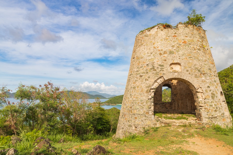
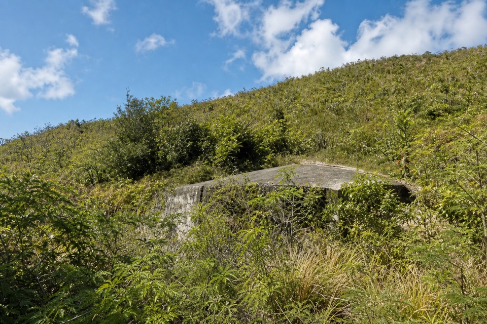
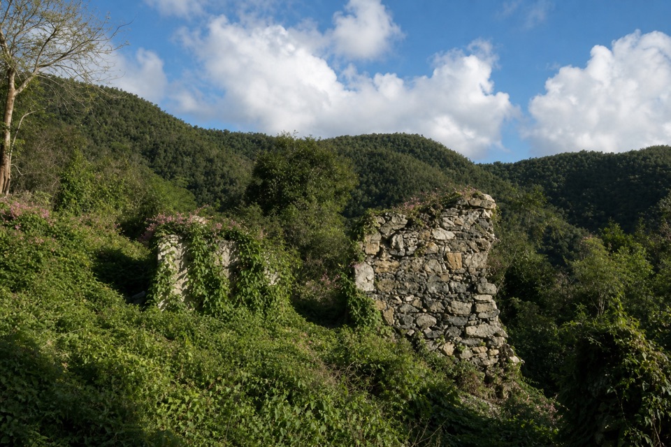
Catherineberg Plantation is a small group of Danish colonial sugar works inland from Centerline Road on St. John. Its unusually intact round stone windmill stands above the remains of the factory and other work buildings. This is a good brief stop if you want to see a plantation mill up close. For more interpretation, pair it with Annaberg, the park's most accessible historic plantation site.

Getting to the ruinsThe approach climbs a rough, narrow, winding road.

The approach climbs a rough, narrow, winding road. You can drive cautiously and park near the ruins, or leave your vehicle at the base of the hill and walk up. Walking is the easier choice if tight turns or low clearance make the drive uncomfortable. Food and drinking water aren't documented at the site, so treat it as a self-contained stop.

The mill and its workThe conical masonry windmill is about 37 feet tall.

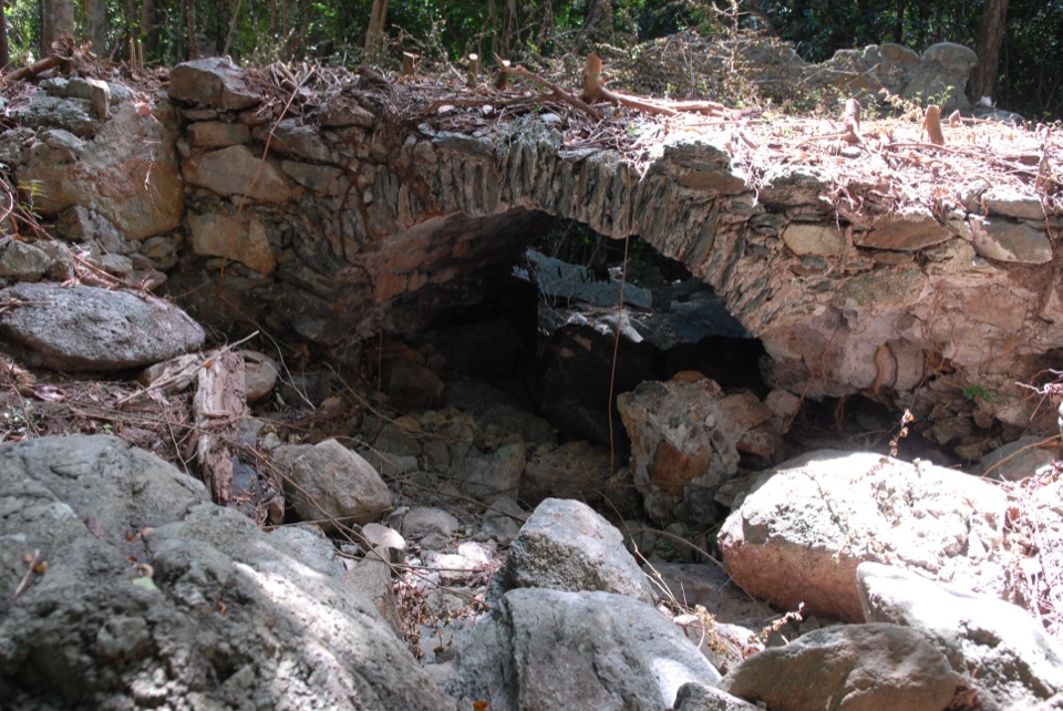
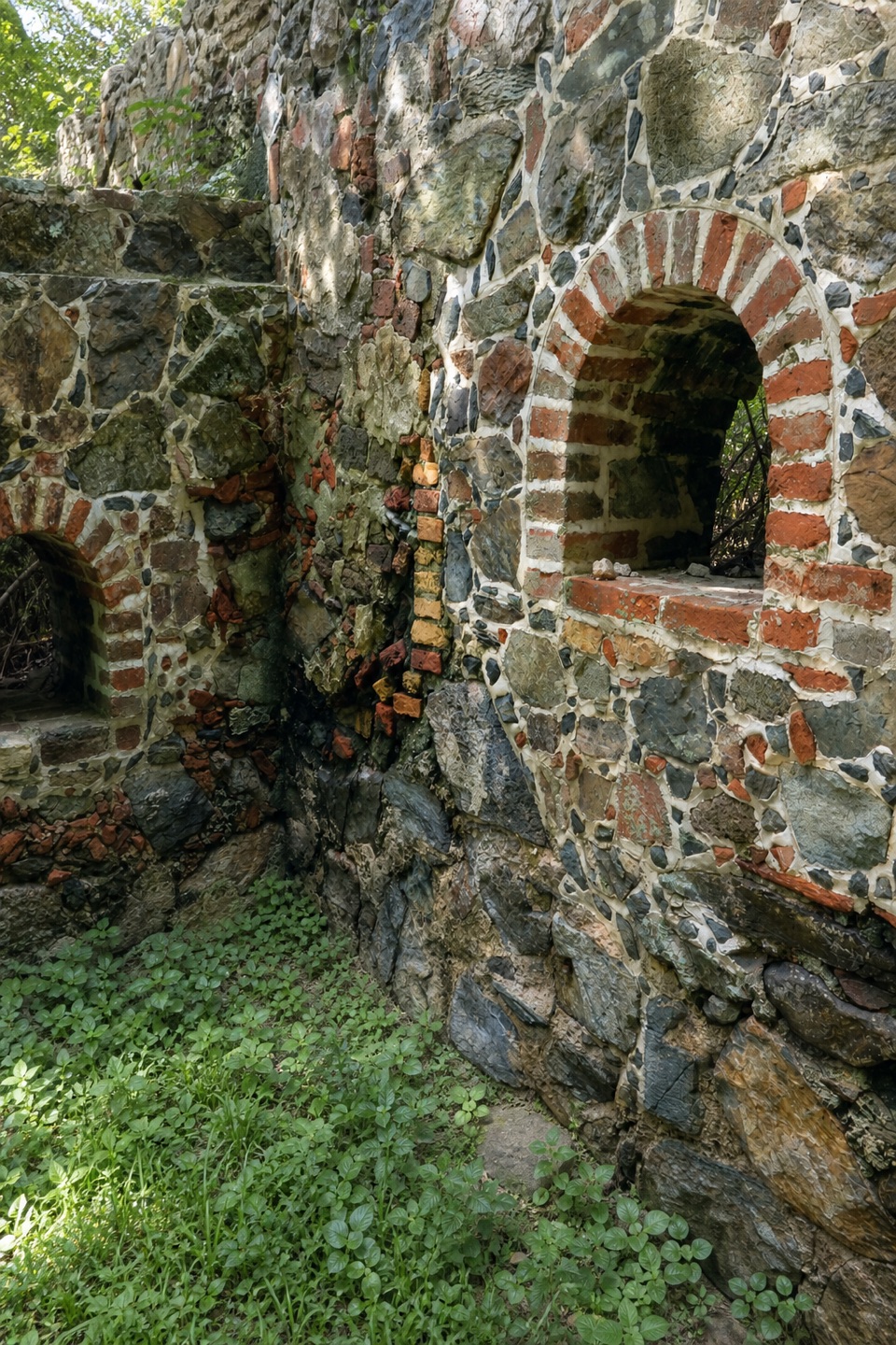
The conical masonry windmill is about 37 feet tall. The surrounding complex also included a sugar factory, a still and animal-powered mill; records identify remains of a stable and ox pound as well. You can walk around the stoneworks and inspect the arched openings at close range. There isn't much interpretation on site, so this is more of a close look at the place than a guided exhibit.

Sugar, slavery and resistanceEnslaved Africans produced the estate's market sugar under Danish colonial rule.

Enslaved Africans produced the estate's market sugar under Danish colonial rule. Historical accounts also identify Catherineberg as one of the headquarters during St. John's 1733 rebellion. The uprising began when enslaved people seized the Danish fort at Coral Bay and was defeated in 1734 by French and Swiss forces. Those two stories belong together here: the mill represents an export business built on forced labor, and the estate is also tied to the resistance against it.

Frame the tower with the worksBack up far enough to include the round tower and the lower arched openings in the same view.

Back up far enough to include the round tower and the lower arched openings in the same view. The wall gives the tower a clear sense of scale and shows how the sugar works fit together.

Wildlife

Wildlife in Virgin Islands

All Virgin Islands wildlife maps

Sighting maps show where each species has been reported across Virgin Islands. Wildlife moves, so no sighting is guaranteed.

Keep exploring

Near Catherineberg Plantation Ruins

See it all on the map

Trails nearby

More stops nearby

Parkwolf’s Virgin Islands ranking

Top sights in Virgin Islands

All 42 places
  1. 1Trunk Bay BeachBeach
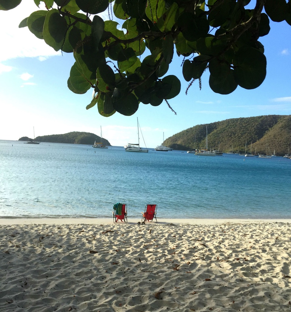
  2. 2Maho Bay BeachBeach
  3. 3Annaberg Sugar PlantationSight
  4. 4Cinnamon Bay BeachBeach
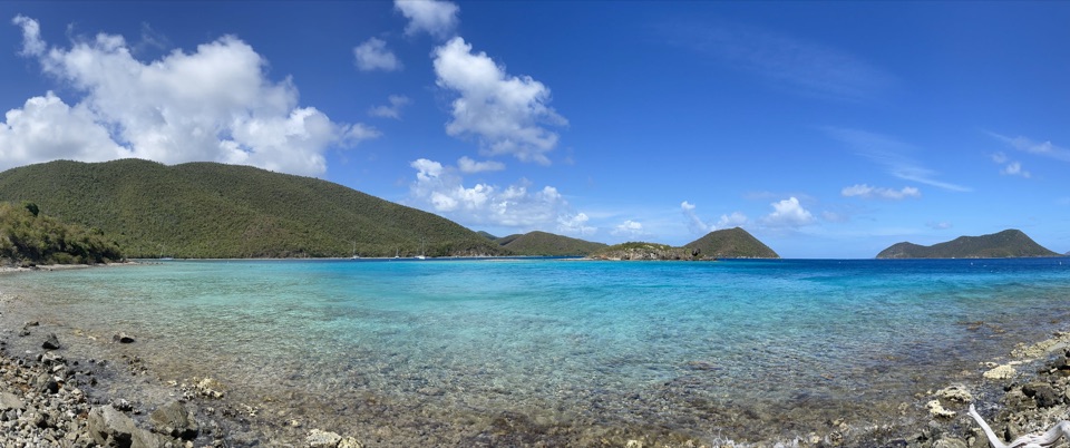
  5. 5Waterlemon CaySight
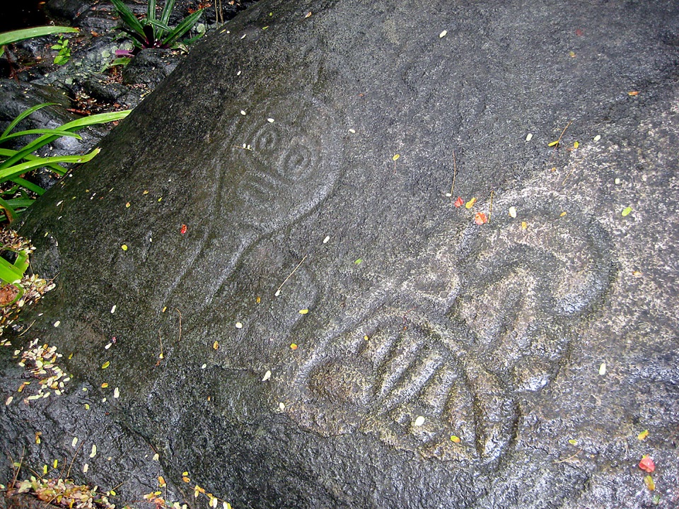
  6. 6Reef Bay PetroglyphsSight

Take Parkwolf to Virgin Islands.

The audio tour guide for the drive, plus offline maps, trails, and wildlife heatmaps for when the signal drops.

4.7 from 8,600+ ratings

Download Parkwolf on the App StoreGet Parkwolf on Google Play