Parking
Drive the Annaberg spur road off North Shore Road to the parking area at its end, then follow signs uphill to the historic district.

Virgin Islands National Park, VI
A short climb to an old sugar mill and windmill
Overview
Map & elevation
Plan your hike

The highest, rockiest slopes around here are a summer buffet for grizzly bears.
Virgin Islands Tour Guide
Parkwolf is a GPS audio tour guide for Virgin Islands National Park. As you drive, it chimes in with what’s ahead: hidden gems, upcoming stops, history, geology, and wildlife, right through your car’s speakers.
Recorded for this trailhead
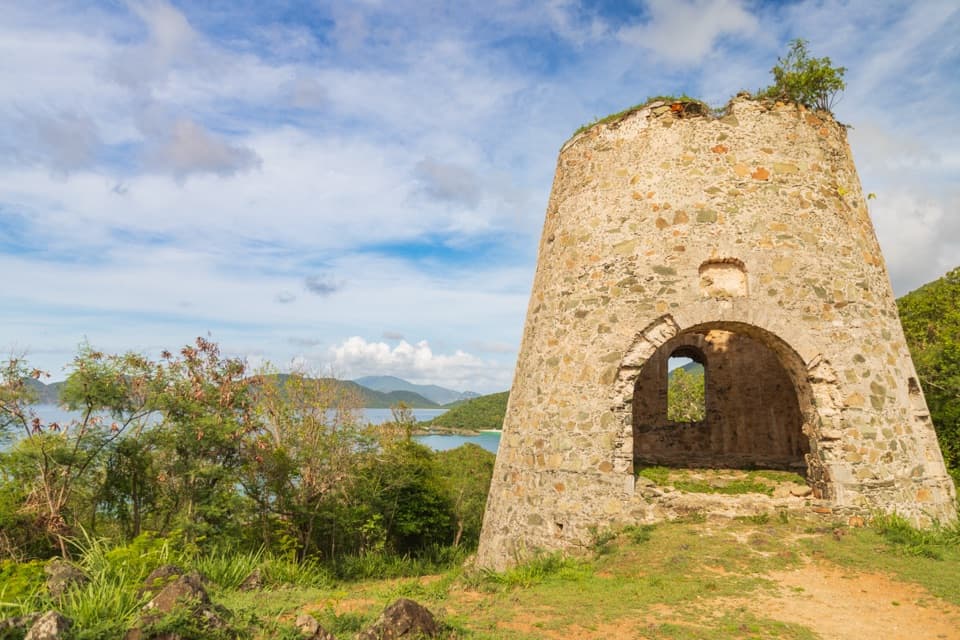
Annaberg Sugar Plantation“You're approaching the access road for Annaberg Sugar Plantation. The hillside windmill and factory ruins make this a stop to keep if you want to understand the history behind the island scenery.”
Plays as you drive up to this trailhead in the Parkwolf Virgin Islands Tour Guide.
More stories near here in the app
“Fantastic app with many points of information… It’s great to just turn on while you’re driving and it gives you an audio tour of the national Park. We love it!!!!”


Trail guide
Annaberg Historic Trail is a 0.29-mile round-trip out-and-back from the plantation parking area to the historic district. The approach leads up to the windmill, sugar factory, animal mill, and enslaved people’s quarters, with paths among the ruins once you arrive. Budget about an hour for the walk and selected interpretation; a full self-guided visit can take one to two hours.
Follow the signed path uphill from the parking area. The access is short but steep and rocky, with a wooden boardwalk along part of the way. The grade exceeds wheelchair safety standards. Once among the buildings, the paths are relatively flat and easy to walk.
Annaberg was an 18th- and 19th-century Danish colonial plantation. More than 600 enslaved Africans were forced to work here. By the early 19th century, the estate was among St. John’s largest sugar producers and also exported molasses and rum. The remains include the windmill, factory, animal mill, and enslaved people’s quarters; the interpretation connects these structures to the sugar trade, slavery, colonialism, oppression, and resistance.
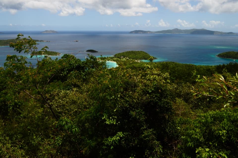
An eastern clearing opens across Sir Francis Drake Channel toward Tortola. Include some of the stone ruins in the foreground if you take a photo, so the channel view stays tied to the site. There is little shade on the upper part of the grounds. Leashed dogs are allowed on trails, with a six-foot leash limit.
Wildlife
 151 sightingsWhite-tailed DeerMost seen around 8 AMSighting map
 115 sightingsGreen IguanaMost seen around 9 AMSighting map
 62 sightingsBrown PelicanMost seen around 8 AMSighting map
 35 sightingsGreen Sea TurtleMost seen around noonSighting map
 32 sightingsAmerican FlamingoMost seen around 7 AMSighting map
 26 sightingsNurse SharkMost seen around 7 PMSighting map
Sighting maps show where each species has been reported across Virgin Islands. Wildlife moves, so no sighting is guaranteed.
Keep exploring
 EasyLeinster Bay Trail1.6 mi · 1 hr · At the trailheadAn old Danish road leads to Waterlemon Bay and Cay views.
 EasyFrancis Bay Trail0.8 mi · 1 hr · 0.6 mi awayRuins, beach, and a salt-pond boardwalk fit into one short loop.
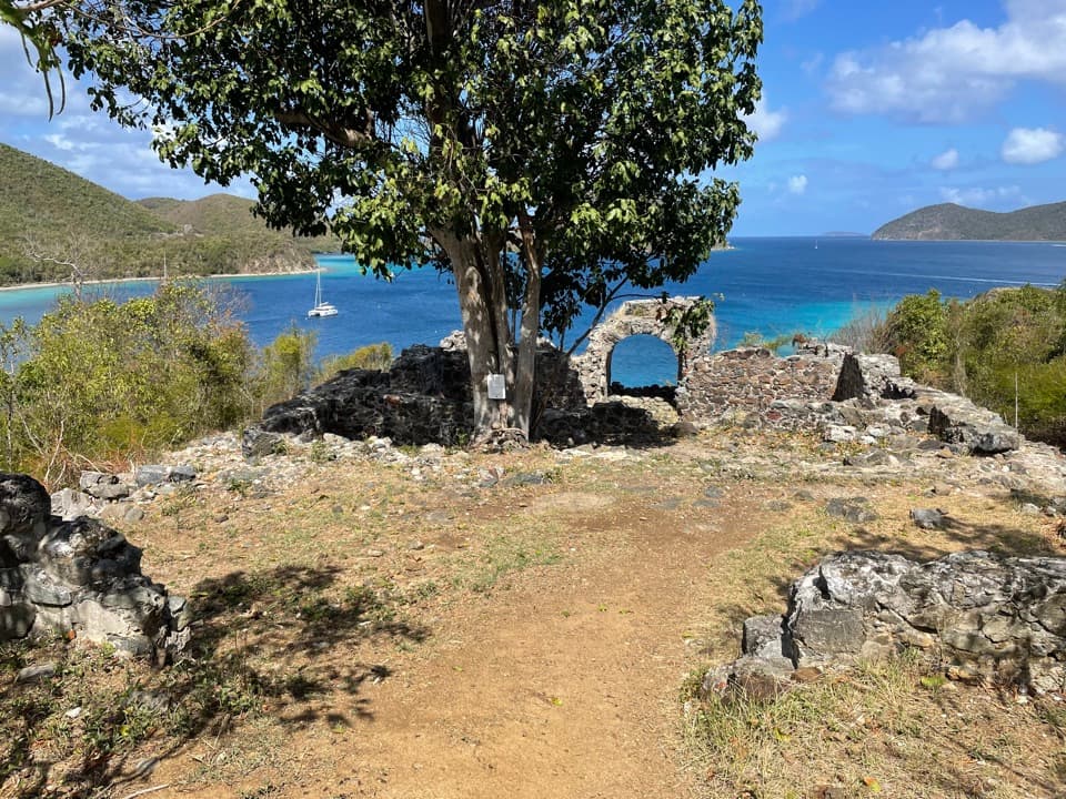 ChallengingJohnny Horn Trail1.8 mi · 3 hr · 0.7 mi awayStone ruins and ridge views on a steep bay-to-harbor traverse.
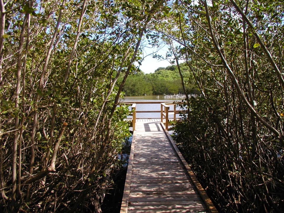 EasyFrancis Bay Boardwalk0.3 mi · 15 min · 0.8 mi awayA quick, accessible look into a mangrove salt pond.
 ChallengingPetroglyph Trail3.4 mi · 3 hr · 1.3 mi awayA shaded descent to ancient carvings, with a steep climb back out.
 ModerateMaria Hope Trail0.8 mi · 45 min · 1.3 mi awayA shaded historic road drops through forest to a Maho Bay overlook.
 ModerateAmerica Hill Trail1.2 mi · 1.3 hr · 1.6 mi awayShort climb to a ruined Great House and east-facing island views.
 ChallengingCinnamon Bay Trail2 mi · 1.8 hr · 1.6 mi awayA steep old road, shaded forest, and a single bay lookout
 Sight · At the trailheadAnnaberg Sugar PlantationRead St. John’s sugar and enslavement history among the ruins.
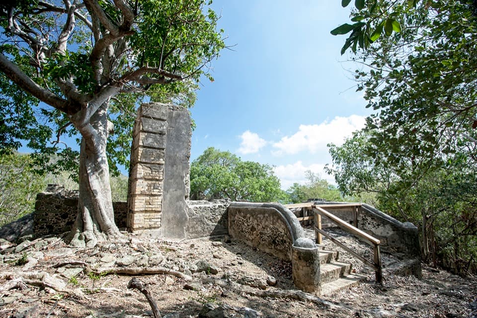 Sight · 0.3 mi awayAnnaberg School RuinsA small school ruin with a long, difficult history.
 Beach · 0.6 mi awayLeinster Bay BeachA rocky bay shore that suits snorkelers more than sunbathers.Sight · 0.6 mi awayWaterlemon CayA reef-ringed cay, reached by a real open-water swim.
 Sight · 0.7 mi awayMary Point Great House RuinsA small ruin with a long, layered estate story.
 Sight · 0.8 mi awayMurphy Great House RuinsClimb to a hillside ruin above Leinster Bay and Waterlemon Cay.
 Beach · 0.8 mi awayFrancis Bay BeachA quieter swim-and-snorkel beach with a birding loop behind it.
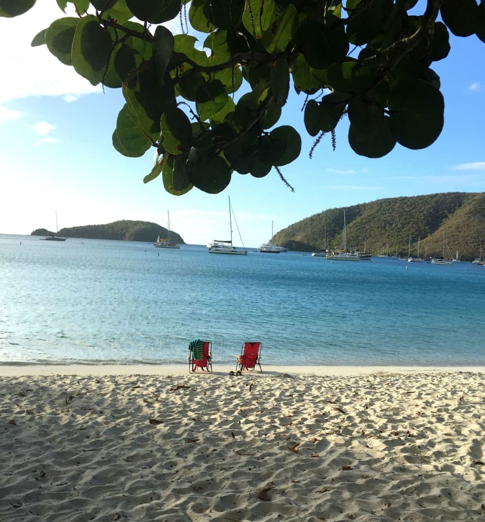 Beach · 1 mi awayMaho Bay BeachSnorkel above seagrass where green turtles graze.
Parkwolf’s Virgin Islands ranking

The audio tour guide for the drive, plus offline maps, trails, and wildlife heatmaps for when the signal drops.