Parking
Start at Hoodoo Creek Campground, reached from the Trans-Canada Highway west of Field. The walk begins on the old campground road.

Yoho National Park, BC
Steep switchbacks climb from Hoodoo Creek to capped glacial pillars.
Overview
Map & elevation
Plan your hike

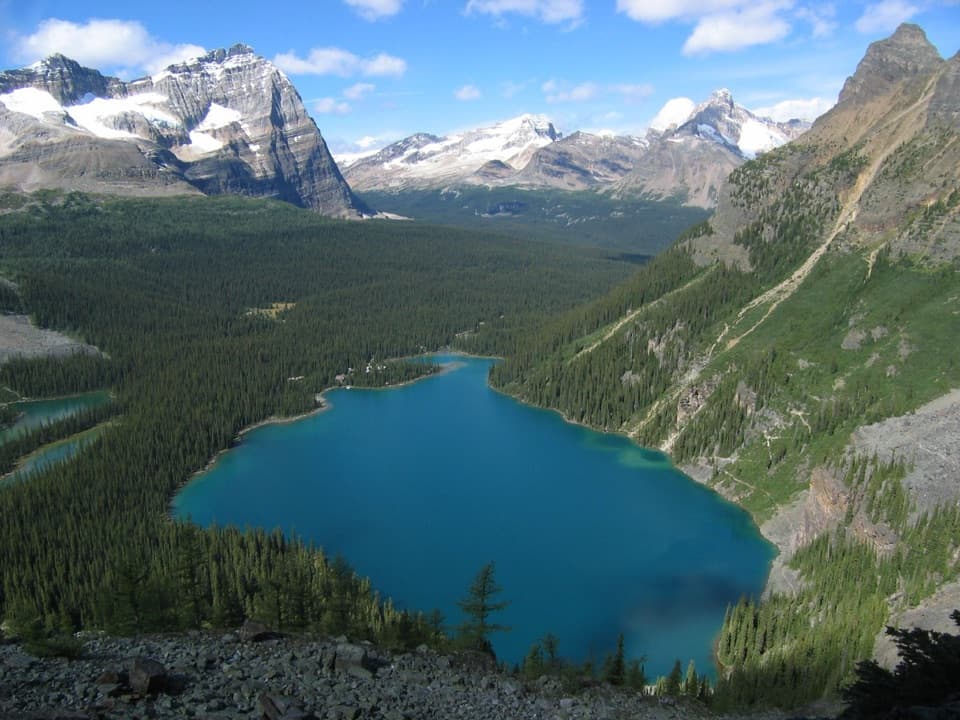
The highest, rockiest slopes around here are a summer buffet for grizzly bears.
Yoho Tour Guide
Parkwolf is a GPS audio tour guide for Yoho National Park. As you drive, it chimes in with what’s ahead: hidden gems, upcoming stops, history, geology, and wildlife, right through your car’s speakers.
See the Yoho audio tourRecorded for this trailhead
Hoodoo Creek: A Climb to the Capped Pillars“You're coming up on the Hoodoo Creek turnoff, the access for a steep hike to pale, rock-capped pillars.”
Plays as you drive up to this trailhead in the Parkwolf Yoho Tour Guide.
More stories near here in the app
“Fantastic app with many points of information… It’s great to just turn on while you’re driving and it gives you an audio tour of the national Park. We love it!!!!”


Trail guide
Hoodoos Trail is a moderate out-and-back from Hoodoo Creek Campground to two signed views of capped pillars made from glacial debris. The mapped route is about 5.7 km (3.6 mi) round trip, including both short viewpoint spurs; allow roughly 2.5 hours. Published totals range from about 5.2 to 6.4 km, so leave room for some extra walking.
The first 1.2 km follows the old campground road. Watch for the trail sign by a berm where the road ends and the steeper footpath begins; it is easy to walk past. A footbridge crosses Hoodoo Creek before the switchbacks.
Near the top, two short branches give different angles: one drops below the hoodoos for an upward look, while the higher branch reaches eye level with the capped columns. Take both if you want the full visit. From the upper viewpoint, leave some of the valley in the frame to show how the pillars sit in the landscape.
The uphill section is steep, dry and exposed, with about 400 m of climbing. Keep to the marked trail and signed viewpoints; the pillars stand on loose glacial debris. Dogs can come on leash under the park’s general rules.
Wildlife
 21 sightingsGrizzly BearMost seen around 6 AMSighting map
 55 sightingsMountain GoatMost seen around 8 AMSighting map
 61 sightingsBlack BearMost seen around 8 PMSighting map
 66 sightingsElkMost seen around 7 PMSighting map
 26 sightingsMooseMost seen around 6 AMSighting map
 10 sightingsBald EagleMost seen around 7 AMSighting map
Sighting maps show where each species has been reported across Yoho. Wildlife moves, so no sighting is guaranteed.
Keep exploring
 ChallengingMt. Hunter Upper Lookout Trail11.4 km · 5.5 hr · 1.6 km awayA hard ridge climb with wide views over two mountain valleys.
 ModerateMt. Hunter Lower Lookout Trail7 km · 3 hr · 1.6 km awayClimb through open forest to a historic fire lookout.
 EasyWapta Falls Trail4.6 km · 1.5 hr · 2.3 km awayA short forest walk ends at the Kicking Horse's widest falls.
 ChallengingGoodsir Pass Trail28.4 km · 2.5 days · 12.6 km awayA remote alpine crossing into Kootenay's Rockwall country.
 ModerateOttertail Valley Trail29 km · 9 hr · 12.6 km awayAn old river road ends at a remote mountain confluence.
 ChallengingGreat Divide Trail: Yoho Traverse72.4 km · 1.5 days · 16.8 km awayGoodsir Pass to Amiskwi Pass through Yoho’s remote valleys
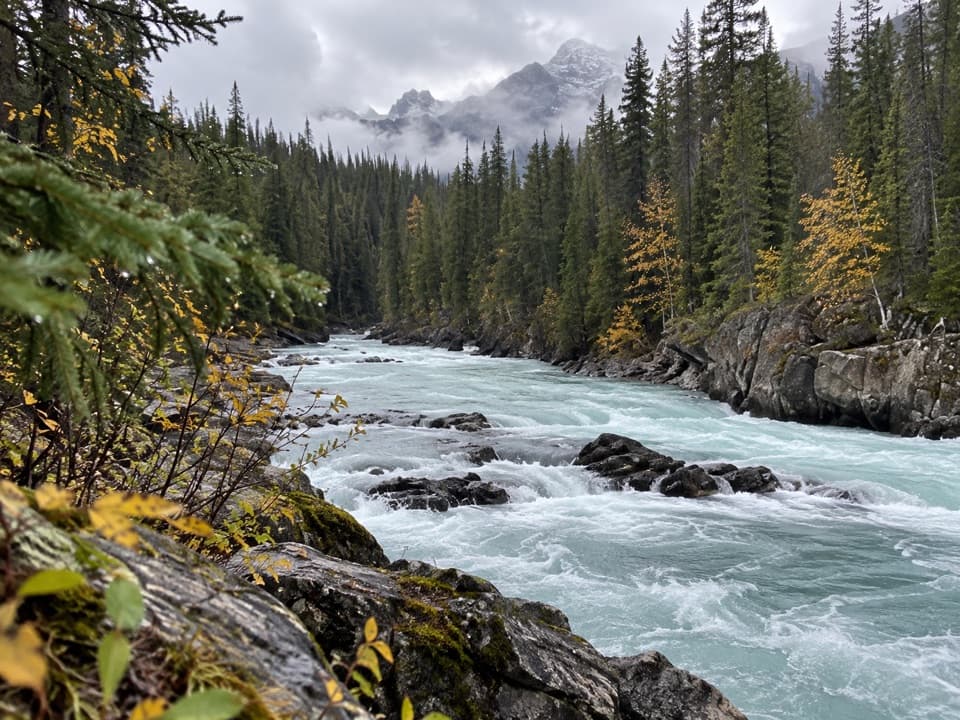 ChallengingTocher Ridge Trail35.8 km · 14 hr · 17.9 km awayA very long riverside approach climbs steeply to a former ridge lookout.
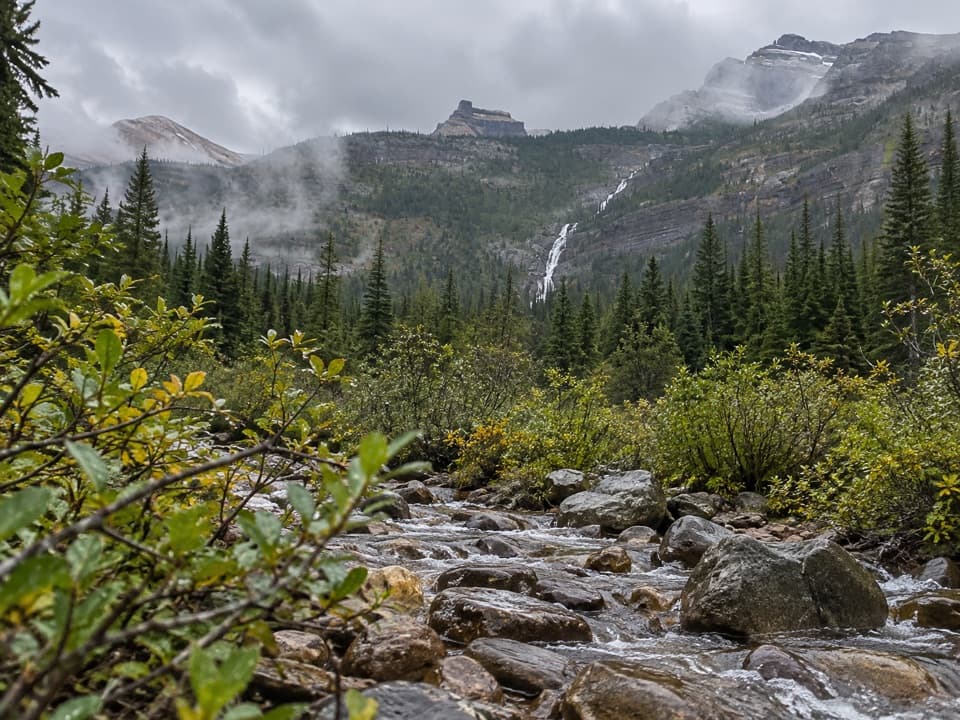 ChallengingAmiskwi Pass Trail72.2 km · 1.3 days · 17.9 km awayA remote valley trek with three river fords and a high pass.
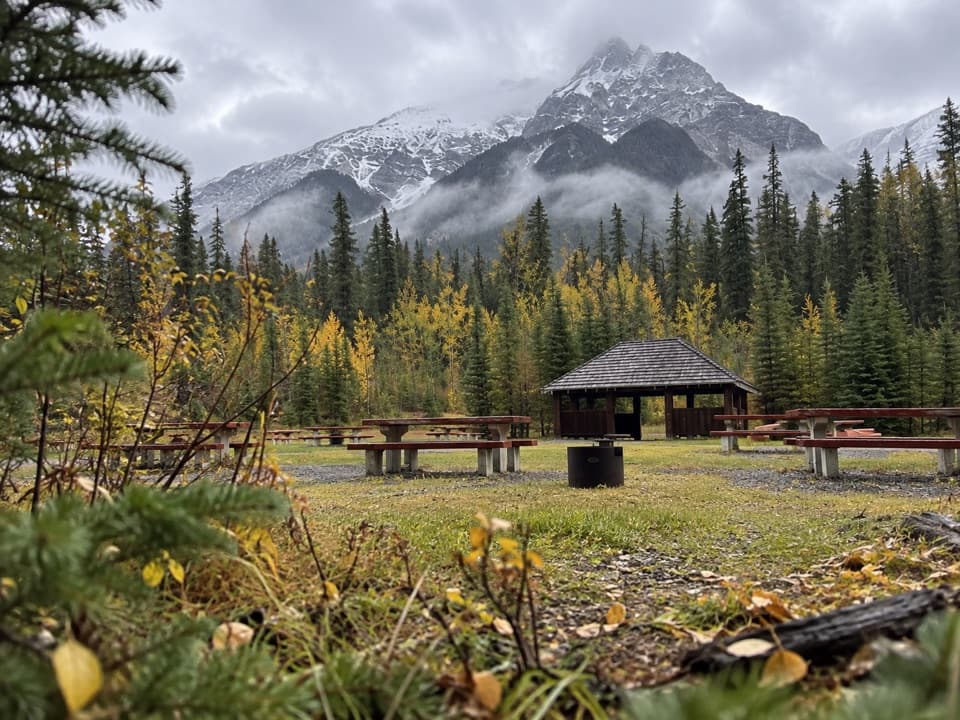 Campground · 0.1 km awayHoodoo Creek CampgroundOpen meadow camping with Mt. Hunter views; bring your own water.
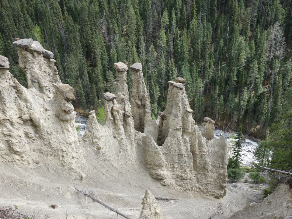 Sight · 1.9 km awayHoodoo Creek HoodoosRock-capped spires reward a steep, exposed climb above Hoodoo Creek.
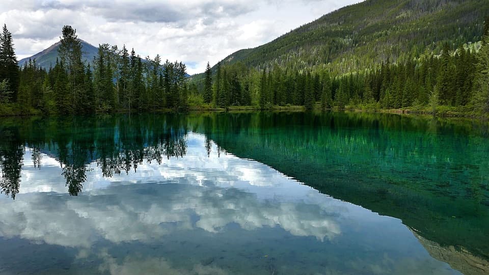 Picnic area · 1.9 km awayFaeder Lake Day Use AreaA lakeside picnic stop, though late summer can leave it dry.
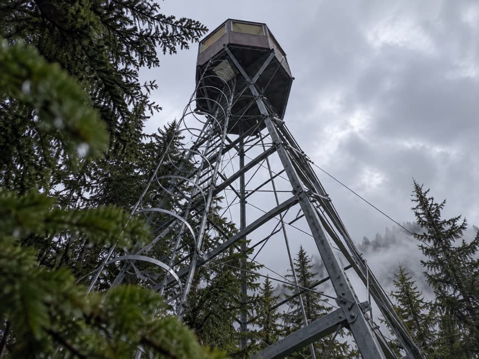 Sight · 2.9 km awayMount Hunter Lower LookoutA historic fire tower is the payoff for this steep climb.
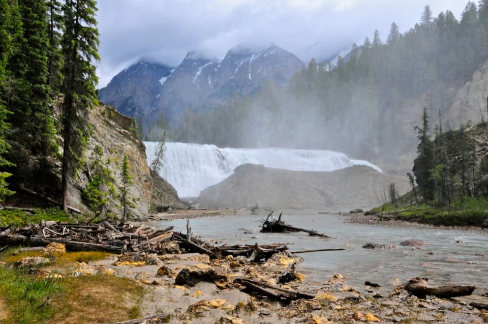 Sight · 4 km awayWapta FallsA huge waterfall with a steep final descent to the river.
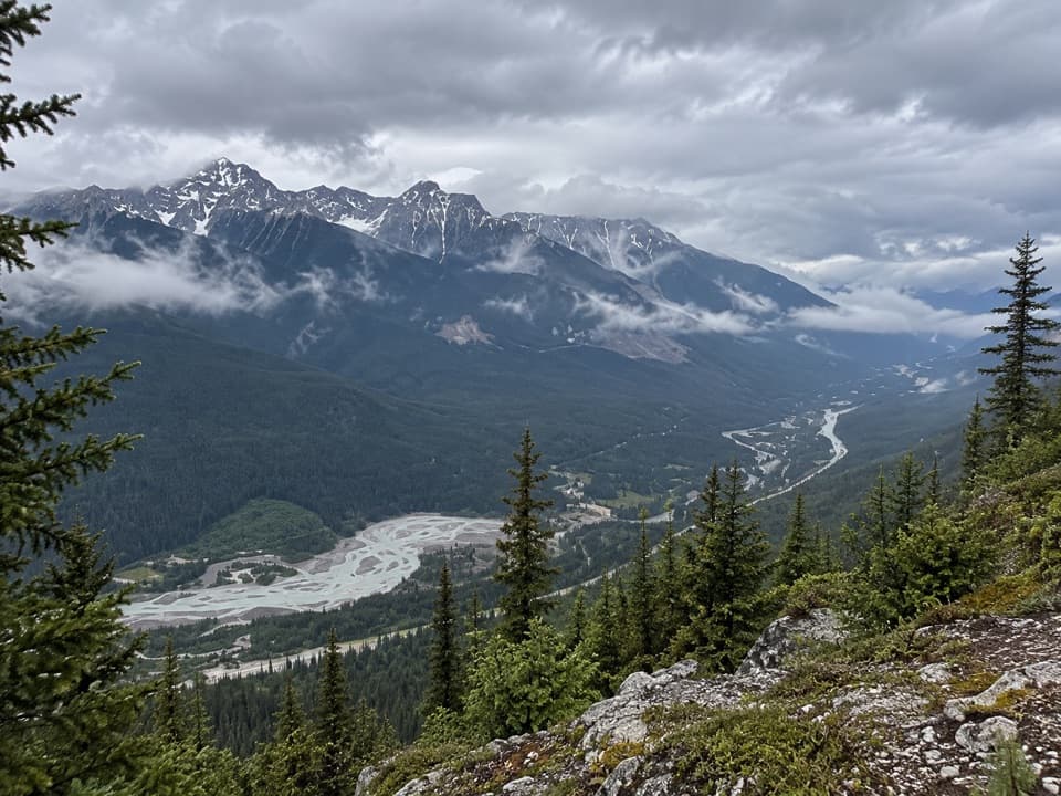 Sight · 5 km awayMt. Hunter Upper LookoutTwo valleys reward a steep 5.7 km trail climb.
 Picnic area · 6.3 km awayFinn Creek Day-use AreaA creekside pause beside the Trans-Canada.
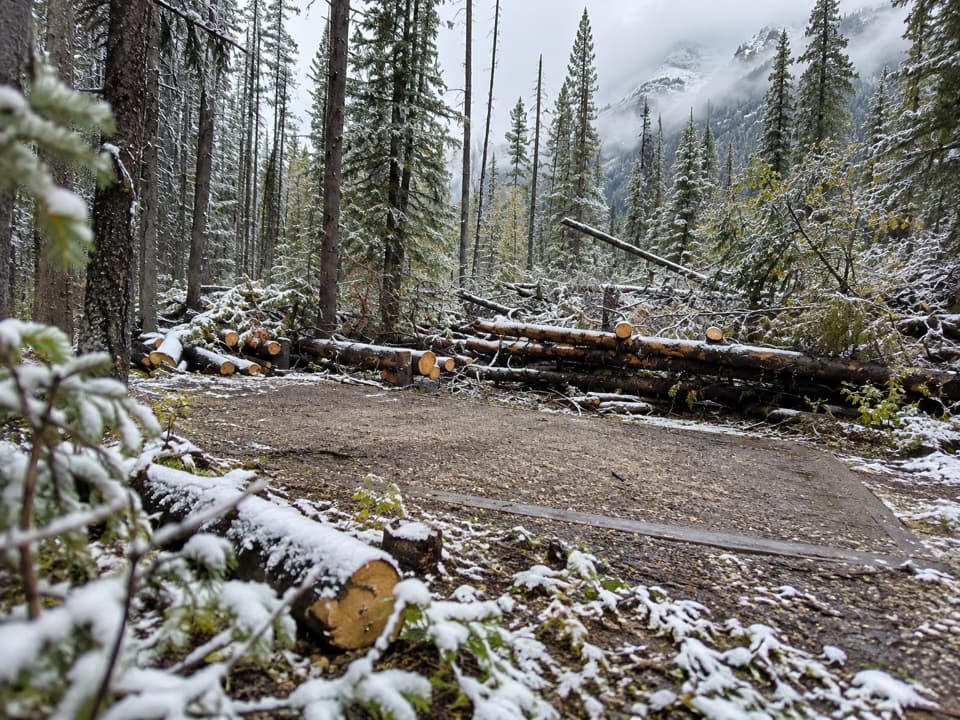 Campground · 14 km awayMcArthur Creek CampgroundA riverside camp reached by a two-day Ottertail Valley trip.
Parkwolf’s Yoho ranking

The audio tour guide for the drive, plus offline maps, trails, and wildlife heatmaps for when the signal drops.