Parking
Use the shared Sentinel Dome and Taft Point trailhead parking area on Glacier Point Road. Restrooms are at the trailhead. The access road is seasonal, and parking can be busy on peak days.

#13 of 141 trails in Yosemite
Yosemite National Park, CA
Pair a dome summit scramble with Taft Point’s deep granite fissures.
Overview
Map & elevation
Plan your hike

“You're approaching the Sentinel Dome and Taft Point trailhead. My pick for a full-circle mountain view is Sentinel Dome: two miles round trip, with a steep final climb on bare granite.”
Yosemite Tour Guide
Parkwolf is a GPS audio tour guide for Yosemite National Park. As you drive, it chimes in with what’s ahead: hidden gems, upcoming stops, history, geology, and wildlife, right through your car’s speakers.
See the Yosemite audio tourRecorded for this trailhead
Sentinel Dome and Taft Point“You're approaching the Sentinel Dome and Taft Point trailhead. My pick for a full-circle mountain view is Sentinel Dome: two miles round trip, with a steep final climb on bare granite.”
Plays as you drive up to this trailhead in the Parkwolf Yosemite Tour Guide.
More stories near here in the app
“We just drove through Yosemite and it made our trip listening to this app as we drove through. Like having a tour guide in the car with you.”


Trail guide
The Sentinel Dome and Taft Point Loop is a 4.9-mile circuit from the shared Glacier Point Road trailhead, linking two overlooks by the Pohono Trail and a short summit scramble. Set aside 3–4 hours for roughly 1,000 feet of climbing, some rolling connector trail and the final steep rock. Walk west to Taft Point first, retrace to the junction, then continue north and east toward Sentinel Dome before returning to the same trailhead. The distance includes the Taft Point spur, connector and summit out-and-back.
The first leg winds through conifers, then crosses open meadows where summer wildflowers may bloom, especially in July. Most of the approach is gentle, but it descends near the overlook, so you will climb that stretch again on the way back. At the junction, keep track of the turn: visit Taft Point, then retrace to the same junction to continue the loop on the Pohono Trail.
As the trees thin, the view opens across Yosemite Valley toward El Capitan and Yosemite Falls. Taft Point itself is a broad granite rim. Nearby, The Fissures split the rock into narrow, jagged cracks with drops of up to 2,000 feet. Slow down around the cracks and rim, keep to solid rock, and give the edges room; the best views do not require stepping out onto a lip.
From the Taft junction, the Pohono Trail rolls through forest and dips into the Sentinel Creek drainage before climbing back out toward the dome. This is the longer connective stretch between the two headline views, so do not turn around at Taft Point if you mean to complete the circuit. Near the radio facility, take the Sentinel Dome branch rather than continuing on the trail toward Glacier Point.
The approach is mostly ordinary trail until the final ascent. Then the route steepens over bare granite for a short scramble to the broad summit at about 8,122 feet. From the top, you can look across Yosemite Valley to Half Dome, Yosemite Falls and El Capitan, with the high country beyond. The middle of the dome is broad, but its edges steepen sharply. The rock is exposed with little shade, so skip the summit during thunderstorms.
A famous wind-shaped Jeffrey pine once stood dead on Sentinel Dome and finally fell in 2003. It is part of the summit’s history, not a tree you will see today; pines still grow lower on the slopes. The open granite top is the main show now, and it gives you a wide panorama without a wooded frame.
Use the shared Sentinel Dome and Taft Point parking area on Glacier Point Road; restrooms are at the trailhead. Road access is seasonal, so check that Glacier Point Road is open before setting out. Yosemite does not allow pets or bicycles on hiking trails. If you have less time, choose one of the shorter out-and-backs from the same lot: Sentinel Dome is about 2.0 miles round trip, and Taft Point is about 2.2 miles round trip.
Wildlife
 732 sightingsBlack BearMost seen around 7 PMSighting map
 1,747 sightingsMule DeerMost seen around 6 PMSighting map
 332 sightingsCoyoteMost seen around 7 PMSighting map
 11 sightingsPeregrine FalconMost seen around 8 AMSighting map
 276 sightingsPikaMost seen around 8 AMSighting map
 677 sightingsYellow-bellied MarmotMost seen around 8 AMSighting map
Sighting maps show where each species has been reported across Yosemite. Wildlife moves, so no sighting is guaranteed.
Keep exploring
 EasyTaft Point and the Fissures Trail2.4 mi · 1.5 hr · At the trailheadCracked granite, a sheer rim, and a valley that drops away.
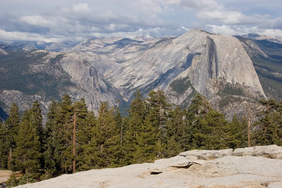 ModerateSentinel Dome Trail2 mi · 1.5 hr · At the trailheadHalf Dome and the Valley from a rounded granite summit.
 EasyGlacier Point Overlook Trail0.3 mi · 15 min · 1.2 mi awayHalf Dome and the high Sierra from a short paved overlook walk.
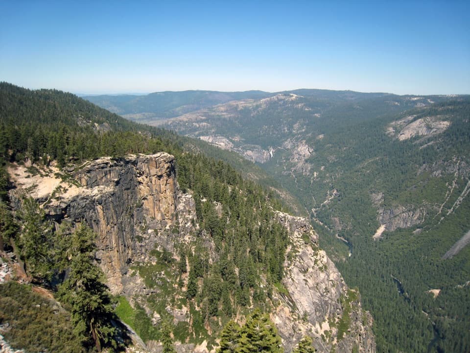 ChallengingPohono Trail12.5 mi · 9 hr · 1.2 mi awayFive south-rim viewpoints make this long day earn its keep.
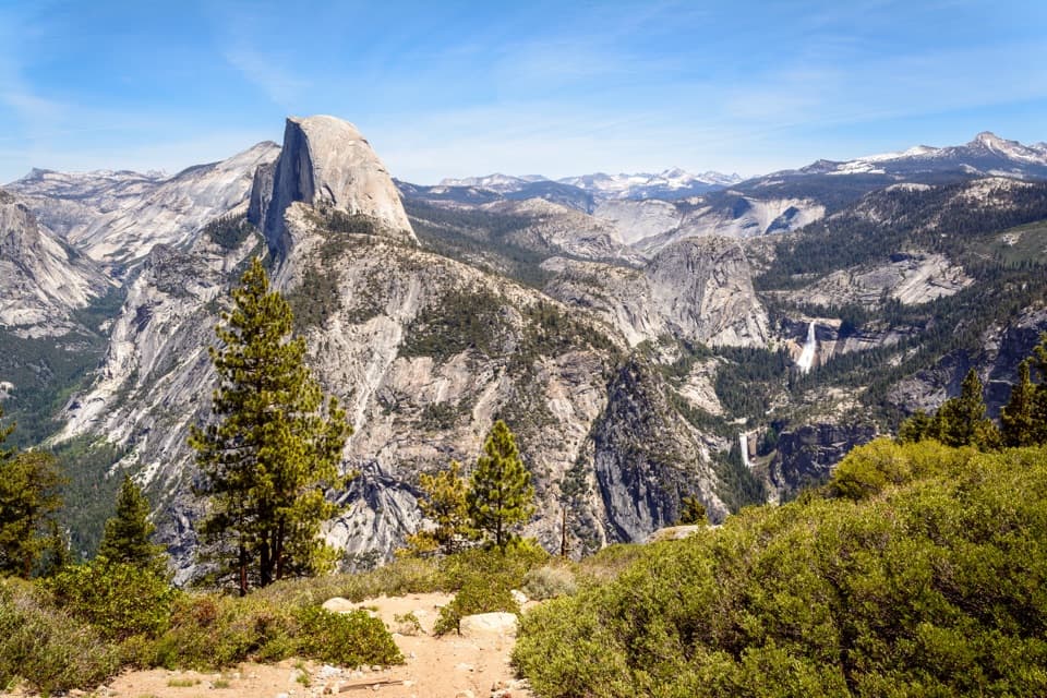 ChallengingTheodore Solomons Trail (Yosemite Section)20.1 mi · 18 hr · 1.2 mi awayA remote 20-mile route from Glacier Point to Yosemite's southern boundary.
 ChallengingPanorama Trail8.2 mi · 7 hr · 1.3 mi awayA one-way descent past Illilouette Fall into Yosemite Valley.
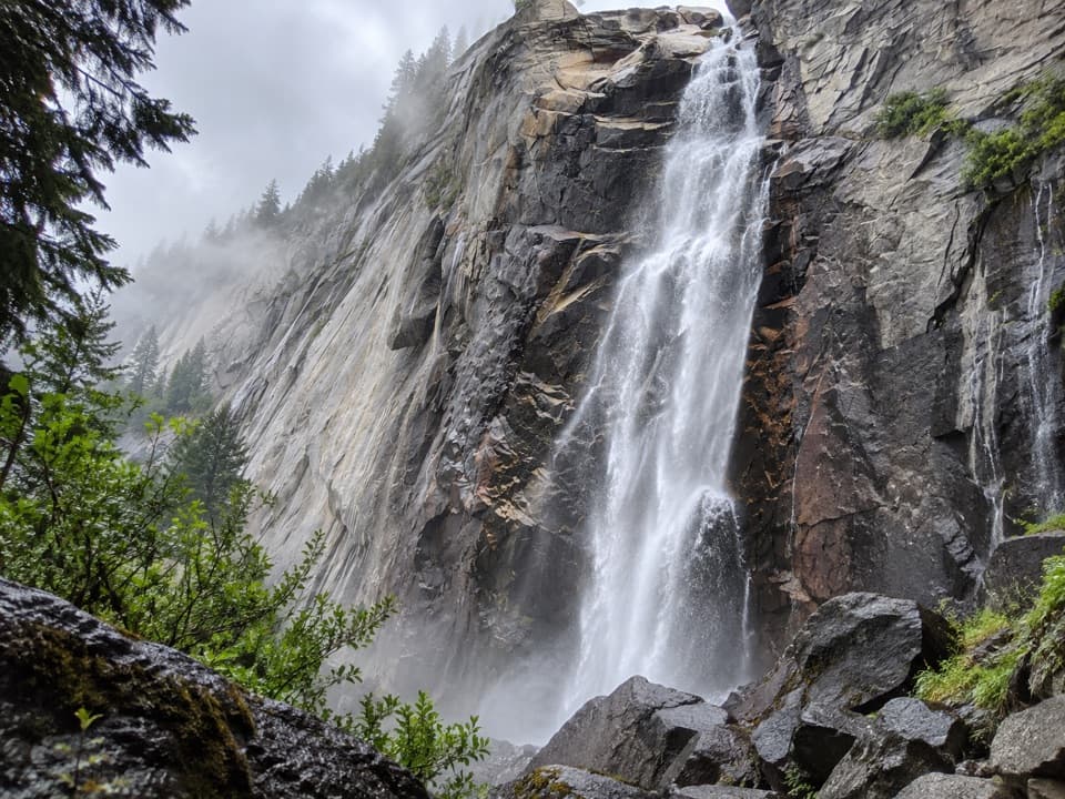 ModerateIllilouette Fall Trail5 mi · 3.5 hr · 1.3 mi awayCreekside granite and valley views, with a long climb back.
 ChallengingFour Mile Trail4.8 mi · 3.5 hr · 1.7 mi awayClimb Yosemite’s south wall for a broader view of the Valley.
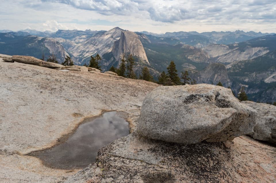 Sight · 0.7 mi awaySentinel DomeA short granite scramble, then the whole horizon opens up.
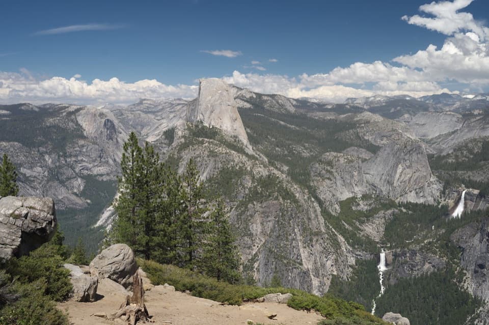 Sight · 0.9 mi awayWashburn PointHalf Dome and three waterfalls share this roadside panorama.Sight · 1 mi awayTaft PointThe short walk ends at a rim facing El Capitan.
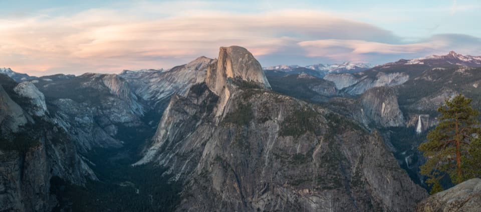 Sight · 1.4 mi awayGlacier PointA broad panorama of Yosemite Valley, Half Dome and waterfalls.
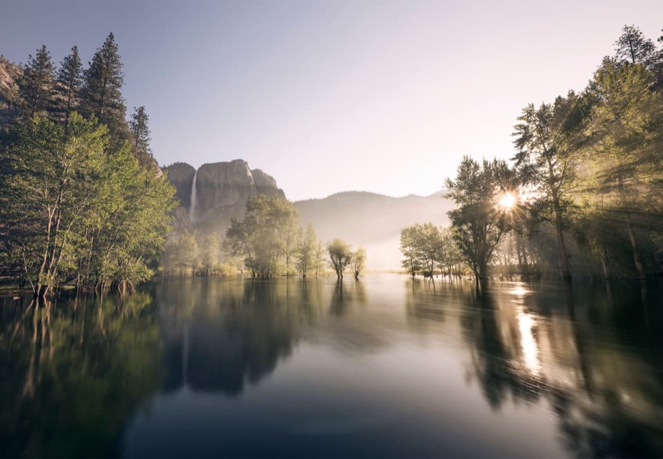 Picnic area · 1.8 mi awaySwinging Bridge Picnic Area (Yosemite Valley)Picnic by the Merced with Yosemite Falls for company.
 Beach · 1.8 mi awaySentinel BeachPicnic under Sentinel Rock with Upper Yosemite Fall in view.
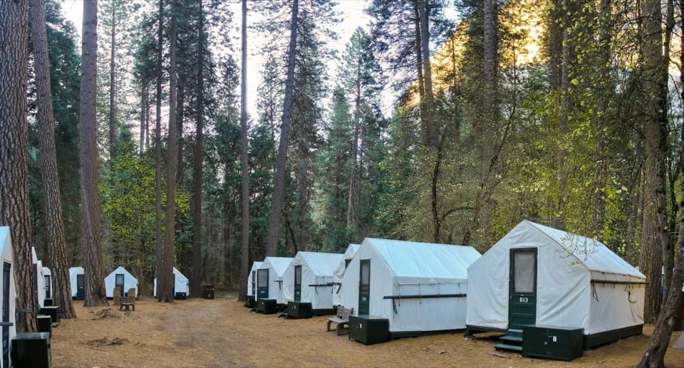 Lodging · 1.9 mi awayCurry VillageHistoric tent-cabin lodging with dining in Yosemite Valley.
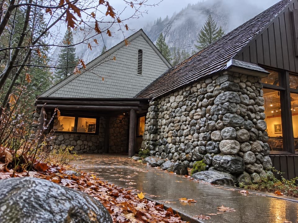 Sight · 1.9 mi awayHappy Isles Art and Nature CenterHands-on nature displays, with river-isle walks just outside.
Parkwolf’s Yosemite ranking

The audio tour guide for the drive, plus offline maps, trails, and wildlife heatmaps for when the signal drops.



