Parking
East Rim Trailhead is on Zion-Mount Carmel Highway, about 100 feet west of the East Entrance fee booths.

Zion National Park, UT
A sandy climb to a canyon that seems to drop away
Overview
Map & elevation
Plan your hike

The highest, rockiest slopes around here are a summer buffet for grizzly bears.
Zion Tour Guide
Parkwolf is a GPS audio tour guide for Zion National Park. As you drive, it chimes in with what’s ahead: hidden gems, upcoming stops, history, geology, and wildlife, right through your car’s speakers.
See the Zion audio tourRecorded for this trailhead
East Rim Trailhead and Jolley Gulch“East Rim Trailhead is ahead, where I'd choose the walk to Jolley Gulch for a canyon view without the longer trek to Stave Spring.”
Plays as you drive up to this trailhead in the Parkwolf Zion Tour Guide.
More stories near here in the app
“Fantastic app with many points of information… It’s great to just turn on while you’re driving and it gives you an audio tour of the national Park. We love it!!!!”


Trail guide
This is a 5.8-mile round trip from East Rim Trailhead to the signed Jolley Gulch viewpoint and back. The route follows the East Rim Trail and climbs about 550 feet cumulatively through sandy, unpaved country. Allow about 3½ hours. It is a good choice for a quieter east-side hike if you want a canyon-rim view without continuing toward Stave Spring. Follow the East Rim signs to Jolley Gulch and turn around there; the separate bottom-up wash hike leaves the established trail.
The approach climbs onto the plateau. The first three miles are especially dry and sunny, and soft sand can make the uphill feel slower than the mileage suggests. There is no water-filling station at the trailhead, so arrive with what you need. Start at East Rim Trailhead on Zion-Mount Carmel Highway, about 100 feet west of the East Entrance fee booths.
The payoff is a sudden view into a deep, undercut canyon head. Stay well back from the rim; the walls fold in sharply and the bottom may not be visible. Water has been photographed spilling over the sandstone lip, but Jolley Gulch is intermittent, so do not count on a waterfall. Pets are prohibited on Zion wilderness trails. Groups of more than 12 people sharing an affiliation cannot split up to use the same wilderness trail or drainage that day, and overnight camping requires a wilderness permit.
Wildlife
 291 sightingsCalifornia CondorMost seen around 11 AMSighting map
 350 sightingsBighorn SheepMost seen around 7 AMSighting map
 22 sightingsMountain LionMost seen around 7 PMSighting map
 1,326 sightingsMule DeerMost seen around 6 AMSighting map
 23 sightingsGolden EagleMost seen around 10 AMSighting map
 15 sightingsPeregrine FalconMost seen around 7 AMSighting map
Sighting maps show where each species has been reported across Zion. Wildlife moves, so no sighting is guaranteed.
Keep exploring
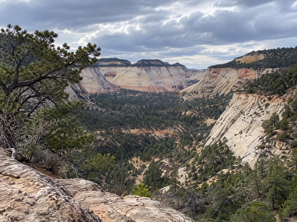 ModerateEast Rim Trail11.8 mi · 6 hr · At the trailheadSandy climb to a sheer gulch and a quiet pine plateau.
 ModerateCheckerboard Mesa Canyon2.4 mi · 3 hr · 0.8 mi awayA rough sandstone canyon climb to a two-sided saddle view.
 ModerateMany Pools Trail2 mi · 2 hr · 2.2 mi awayPothole pools and slickrock on an unmarked wash route.
 ModerateCable Mountain Trail8 mi · 4 hr · 2.6 mi awayA long mesa walk to Zion's old cableworks above the canyon.
 ChallengingObservation Point via Stave Spring9.2 mi · 6.5 hr · 2.6 mi awayEcho Canyon makes the famous overlook a full-day hike.
 ChallengingDeertrap Mountain Trail10.8 mi · 5 hr · 2.6 mi awayA 10.8-mile out-and-back to Zion's exposed canyon rim.
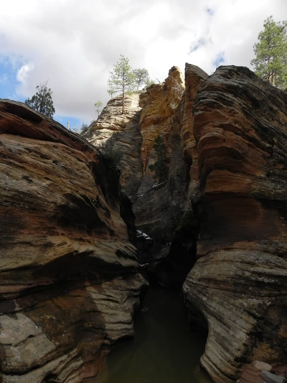 ModerateClear Creek Wash3.8 mi · 3 hr · 2.8 mi awayA low arch and three slots punctuate this rocky wash walk.
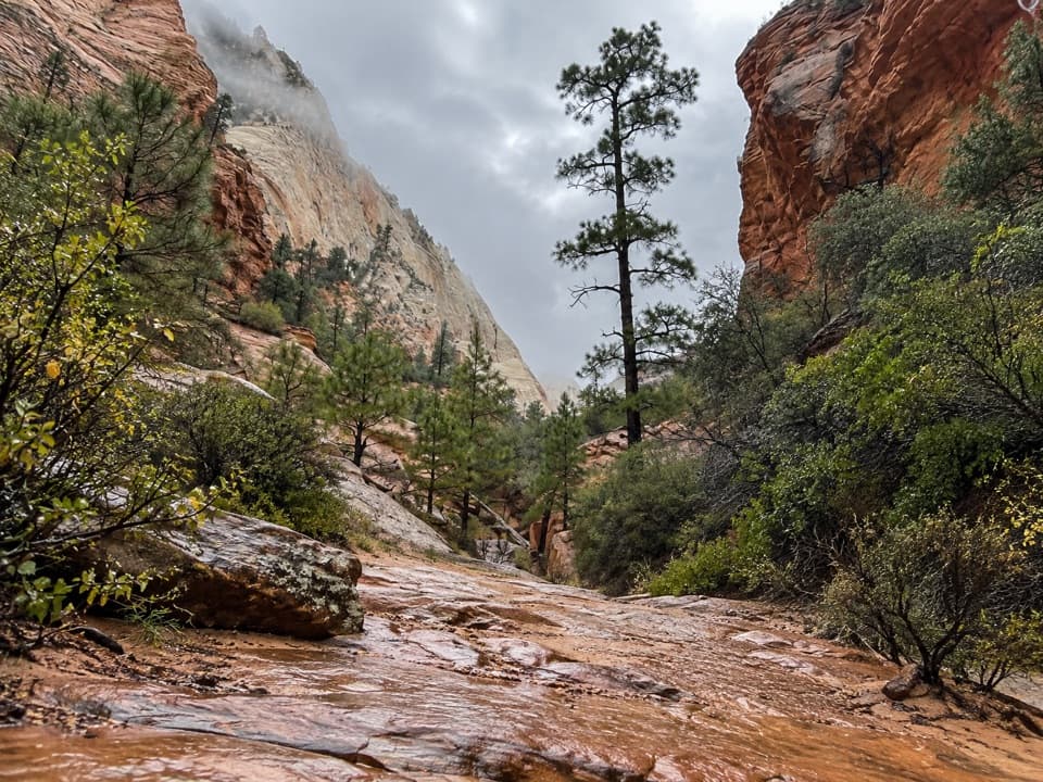 ModerateUpper Pine Creek Wash Hike2.8 mi · 3 hr · 3.5 mi awayA sandstone wash with a boulder choke and no fixed endpoint.
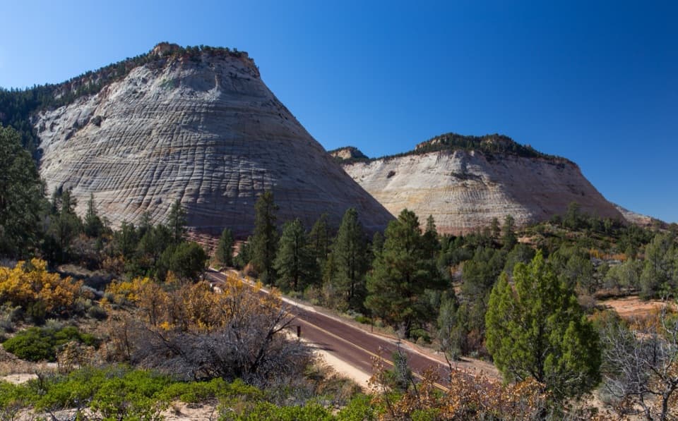 Sight · 0.3 mi awayCheckerboard MesaA quick roadside stop for Checkerboard Mesa’s crosshatched sandstone.
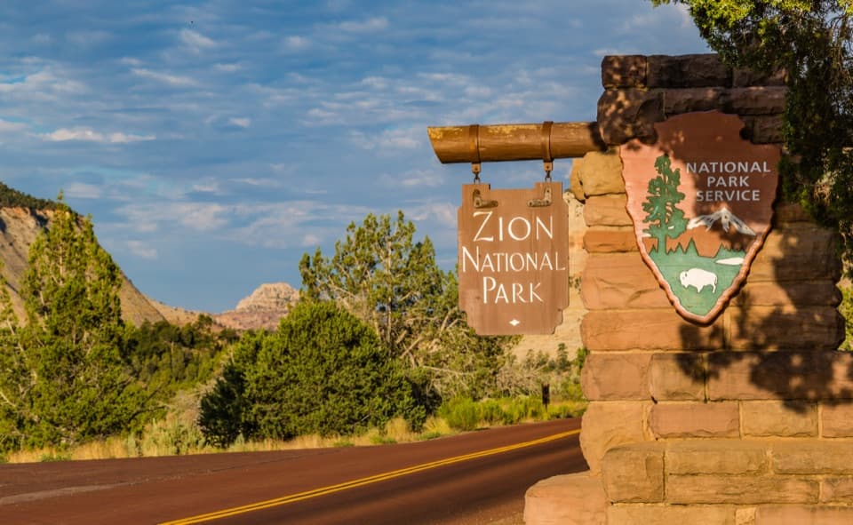 Sight · 0.7 mi awayEast Entrance SignA CCC-era marker worth a photo from a designated pullout.
 Sight · 3.8 mi awayZion–Mount Carmel TunnelA quick 1.1-mile crossing through sandstone, with windows into the canyon.
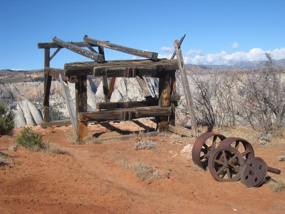 Sight · 3.9 mi awayCable Mountain Draw WorksA cliff-edge timber tram terminal with a remarkable backstory.
 Sight · 4 mi awayCanyon OverlookA short, exposed walk to the view over Pine Creek Canyon.
 Sight · 4 mi awayGreat ArchA broad sandstone alcove comes into view on the tunnel climb.
 Sight · 4.2 mi awayWeeping RockA short climb to a dripping alcove and hanging garden.
 Picnic area · 4.3 mi awayThe GrottoA shaded picnic break with a Virgin River view and trail access.
Parkwolf’s Zion ranking

The audio tour guide for the drive, plus offline maps, trails, and wildlife heatmaps for when the signal drops.





