Parking
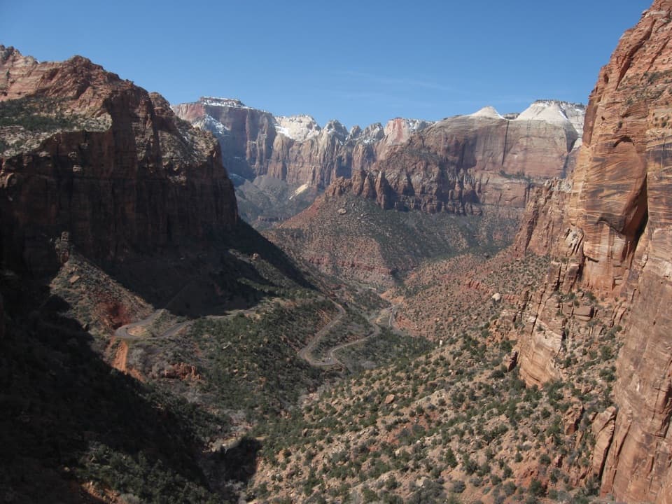
Use the East Rim Trailhead spur on the Zion–Mount Carmel Highway, about 100 feet west of the East Entrance fee booths. A small gravel parking area serves the trail.
Zion National Park, UT
Sandy climb to a sheer gulch and a quiet pine plateau.
Overview
Map & elevation
Plan your hike

The highest, rockiest slopes around here are a summer buffet for grizzly bears.
Zion Tour Guide
Parkwolf is a GPS audio tour guide for Zion National Park. As you drive, it chimes in with what’s ahead: hidden gems, upcoming stops, history, geology, and wildlife, right through your car’s speakers.
See the Zion audio tourRecorded for this trailhead
East Rim Trailhead and Jolley Gulch“East Rim Trailhead is ahead, where I'd choose the walk to Jolley Gulch for a canyon view without the longer trek to Stave Spring.”
Plays as you drive up to this trailhead in the Parkwolf Zion Tour Guide.
More stories near here in the app
“Fantastic app with many points of information… It’s great to just turn on while you’re driving and it gives you an audio tour of the national Park. We love it!!!!”


Trail guide
East Rim Trail is an 11.8-mile out-and-back from the East Entrance to Stave Spring and back. The listed distance is 5.9 miles each way; allow about six hours round trip. The climb gains about 1,000 feet before the route crosses a higher plateau. This is a long day on Zion’s quieter east side, with a striking gulch view early and a ponderosa forest in the middle; Stave Spring itself is a plain pipe, not a dramatic destination.
The trail points toward the sandstone cliffs and climbs onto the plateau for roughly the first three miles. The tread is sandy in places, and the opening stretch is particularly dry and sunny. It feels like steady work before the route eases across the high ground. Expect a sustained climb rather than a quick walk to one viewpoint; that effort is why many visitors choose an earlier turnaround.
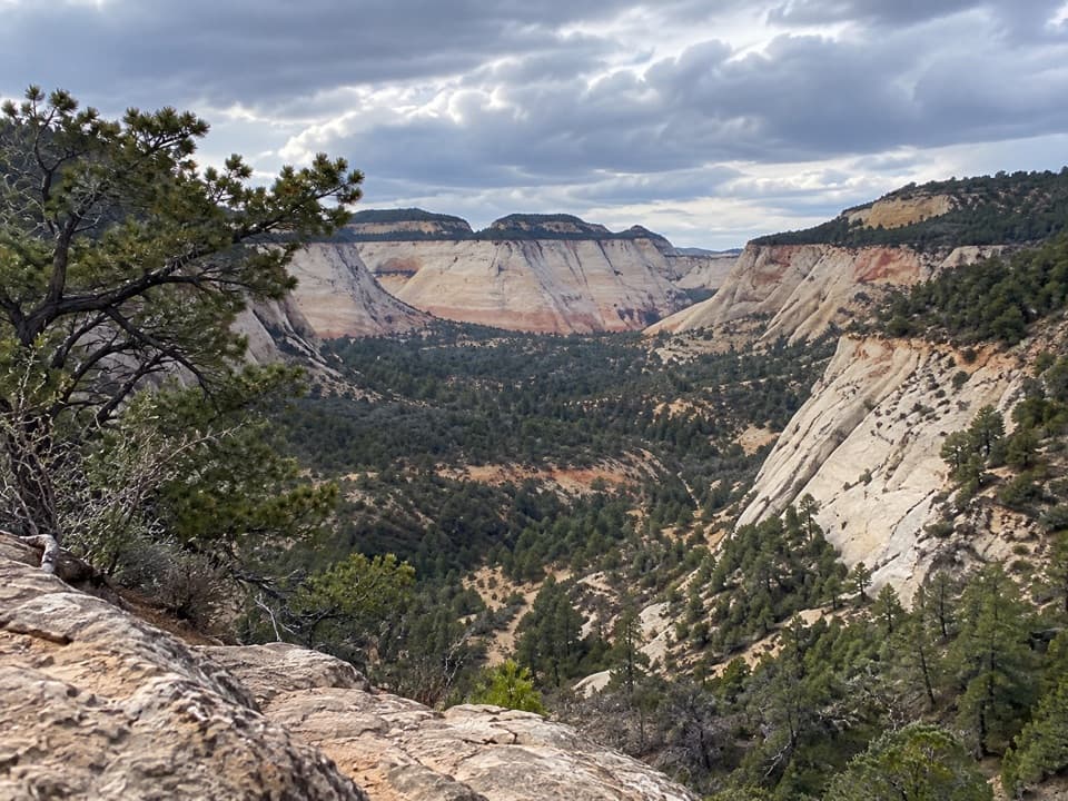
A couple of miles from the trailhead, Jolley Gulch seems to open beneath the trail, with Checkerboard Mesa and the east side’s sandstone country beyond. The rim is unguarded, so keep well back. For a shorter outing, turn around here and retrace your steps rather than committing to Stave Spring. It is also the route’s most distinctive photo stop: include the gulch falling away below, but keep the edge out of your footing plans.
Past the gulch, the climb gives way to a flatter traverse through ponderosa pines and open sagebrush. This higher forest is cooler than Zion’s main canyon, and the pines have colorful, fragrant bark worth noticing as you pass. Near the East Rim, the view opens across the Echo Canyon basin. The change from exposed sandy approach to quiet forest is the walk’s best stretch of variety.
The turnaround is near the junction with Cable Mountain. Stave Spring is a pipe coming out of the ground, useful to know about but not a scenic payoff. It often dries by early summer and is not a dependable water source. Carry the water you need from the start and return the way you came.
Wildlife
 291 sightingsCalifornia CondorMost seen around 11 AMSighting map
 350 sightingsBighorn SheepMost seen around 7 AMSighting map
 22 sightingsMountain LionMost seen around 7 PMSighting map
 1,326 sightingsMule DeerMost seen around 6 AMSighting map
 23 sightingsGolden EagleMost seen around 10 AMSighting map
 15 sightingsPeregrine FalconMost seen around 7 AMSighting map
Sighting maps show where each species has been reported across Zion. Wildlife moves, so no sighting is guaranteed.
Keep exploring
 ModerateEast Rim Trail to Jolley Gulch Viewpoint5.8 mi · 3.5 hr · At the trailheadA sandy climb to a canyon that seems to drop away
 ModerateCheckerboard Mesa Canyon2.4 mi · 3 hr · 0.8 mi awayA rough sandstone canyon climb to a two-sided saddle view.
 ModerateMany Pools Trail2 mi · 2 hr · 2.2 mi awayPothole pools and slickrock on an unmarked wash route.
 ModerateCable Mountain Trail8 mi · 4 hr · 2.6 mi awayA long mesa walk to Zion's old cableworks above the canyon.
 ChallengingObservation Point via Stave Spring9.2 mi · 6.5 hr · 2.6 mi awayEcho Canyon makes the famous overlook a full-day hike.
 ChallengingDeertrap Mountain Trail10.8 mi · 5 hr · 2.6 mi awayA 10.8-mile out-and-back to Zion's exposed canyon rim.
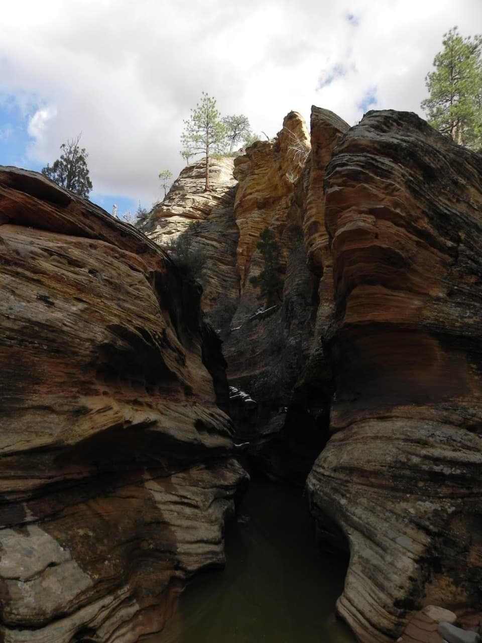 ModerateClear Creek Wash3.8 mi · 3 hr · 2.8 mi awayA low arch and three slots punctuate this rocky wash walk.
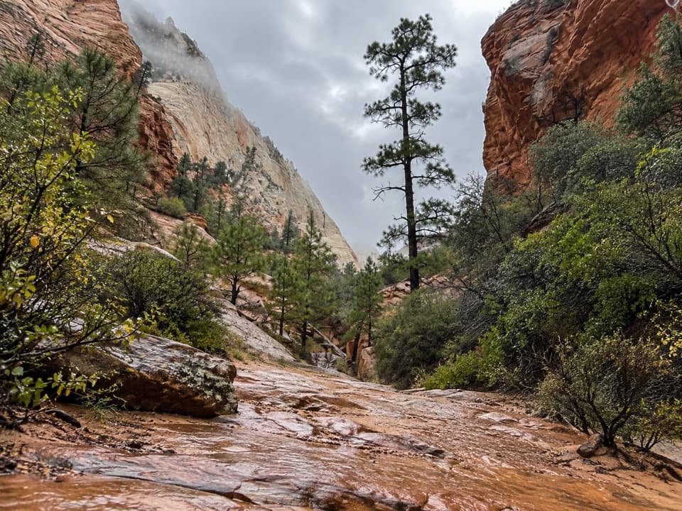 ModerateUpper Pine Creek Wash Hike2.8 mi · 3 hr · 3.5 mi awayA sandstone wash with a boulder choke and no fixed endpoint.
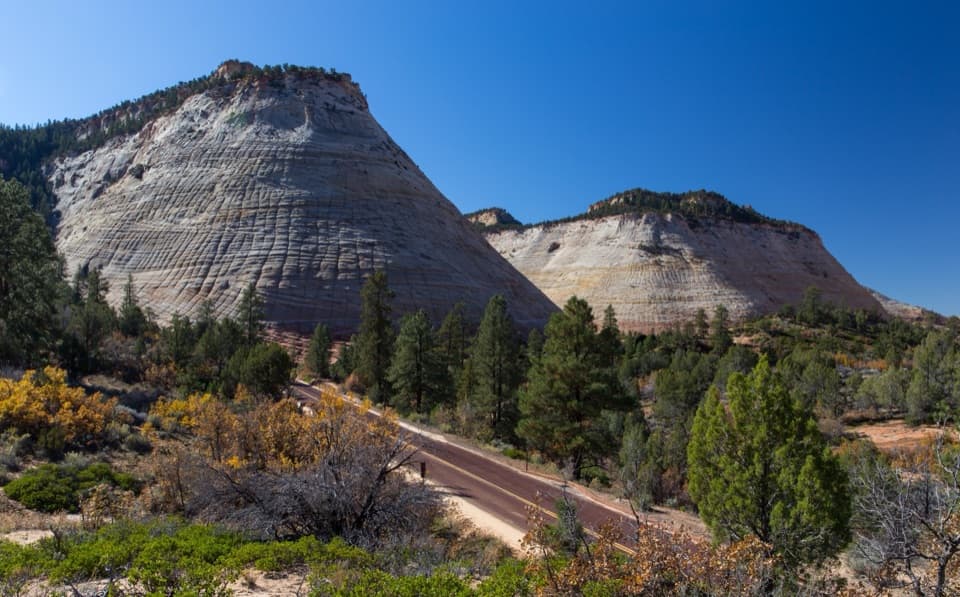 Sight · 0.3 mi awayCheckerboard MesaA quick roadside stop for Checkerboard Mesa’s crosshatched sandstone.
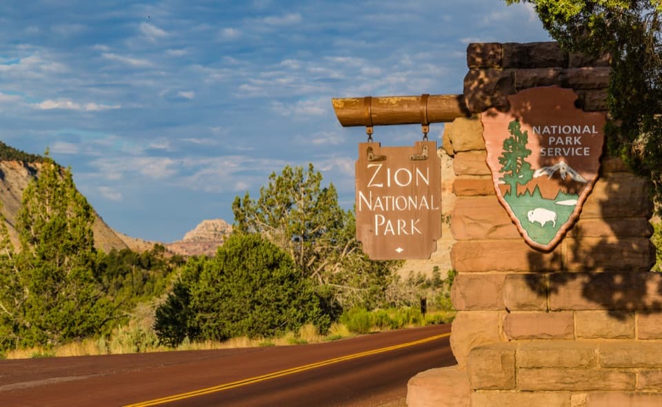 Sight · 0.7 mi awayEast Entrance SignA CCC-era marker worth a photo from a designated pullout.
 Sight · 3.8 mi awayZion–Mount Carmel TunnelA quick 1.1-mile crossing through sandstone, with windows into the canyon.
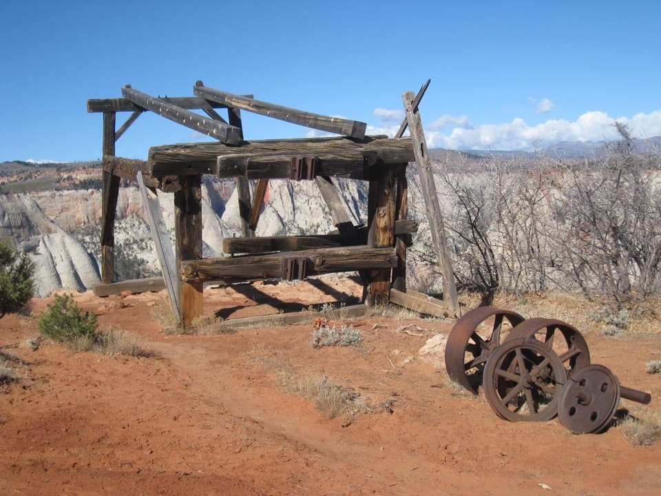 Sight · 3.9 mi awayCable Mountain Draw WorksA cliff-edge timber tram terminal with a remarkable backstory.
 Sight · 4 mi awayCanyon OverlookA short, exposed walk to the view over Pine Creek Canyon.
 Sight · 4 mi awayGreat ArchA broad sandstone alcove comes into view on the tunnel climb.
 Sight · 4.2 mi awayWeeping RockA short climb to a dripping alcove and hanging garden.
 Picnic area · 4.3 mi awayThe GrottoA shaded picnic break with a Virgin River view and trail access.
Parkwolf’s Zion ranking

The audio tour guide for the drive, plus offline maps, trails, and wildlife heatmaps for when the signal drops.