Mitterkaseralm am Watzmann in Berchtesgaden National Park

Food · Berchtesgaden National Park

Mitterkaseralm am Watzmann

A mountain-hut break on the climb to Watzmannhaus.

Type
Food
Nearest trail
2.8 km
Audio stories
2 nearby
  • Restrooms

Hear the audio tour

Hammerstiel: Grünstein and a Hut Meal

Overview

About Mitterkaseralm am Watzmann

Why stop

  • The hiking route passes right by, making the hut a natural break on the Watzmannhaus climb.

Heads up

  • The uphill approach takes hours; this is not an easy roadside stop.

Map

Where it is

Loading the Berchtesgaden map
Full map
FoodMitterkaseralm am Watzmann47.57794, 12.94259
Keep this map with you offline in the Parkwolf app

Plan your stop

Before you go

3 active Berchtesgaden alerts

  • ClosureKlausbachtal trails closed for bridge and flood-protection workAvoid the closed Klausbachtal trail sections; the Klausbach cannot be crossed at the affected bridges. - Trail No.Official details
  • ClosureKönigsbach Waterfall Gumpen area closedDo not enter the area around the “Gumpen” pools at the Königsbach Waterfall on Königssee.Official details

See all 3 alerts
A park ranger sits on a dash-mounted phone, talking, as Parkwolf’s Tour Guide plays “Army Cutworm Moths: A Grizzly Bear Buffet” on Grand Loop Road below Dunraven Pass in Yellowstone
Parkwolf Tour GuideThe highest, rockiest slopes around here are a summer buffet for grizzly bears.

Berchtesgaden Tour Guide

Your drive to Mitterkaseralm am Watzmann, narrated.

Parkwolf is a GPS audio tour guide for Berchtesgaden National Park. As you drive, it chimes in with what’s ahead: hidden gems, upcoming stops, history, geology, and wildlife, right through your car’s speakers.

Recorded for this area

Hammerstiel: Grünstein and a Hut Meal
0:00 / 0:25
“Hammerstiel is coming up, the trailhead for a steep walk to Grünstein's views of Königssee and the Watzmann.”

Plays on the road 3 km from Mitterkaseralm am Watzmann in the Parkwolf Berchtesgaden Tour Guide.

More stories near here in the app

  • Wimbachbrücke and the Waterfall Gorge
  • A Marmot’s Winter Fuel
  • Königssee by Boat or on Foot
  • Jennerbahn: Ride Up for Königsblick
  • 25 audio storiesacross Berchtesgaden’s roads, triggered by GPS as you drive
  • Wildlife heatmapsfor Bearded Vulture, Golden Eagle, Red Deer, and 13 more
  • Works offlinemaps, 71 trails, 57 places, and audio download before you lose signal
  • CarPlay readysimple controls built for the drive
★★★★★
“Fantastic app with many points of information… It’s great to just turn on while you’re driving and it gives you an audio tour of the national Park. We love it!!!!”
JMJamesApp Store review
Download Parkwolf on the App StoreGet Parkwolf on Google Play

4.7 from 8,600+ ratings

Guide

More about Mitterkaseralm am Watzmann

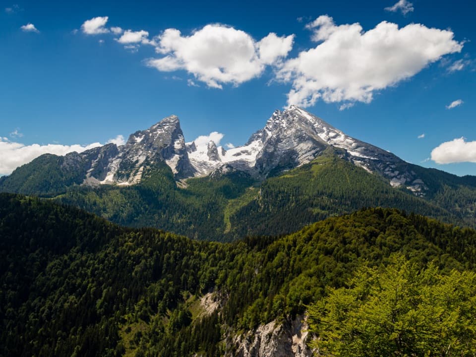
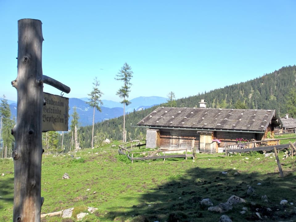
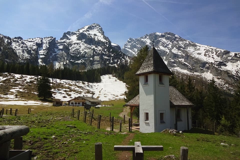
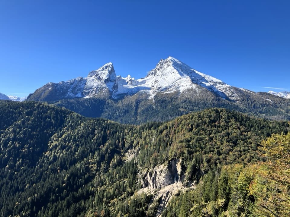
A pause below WatzmannhausMitterkaseralm is a staffed alpine-pasture hut at about 1,420 m, below Falzköpfl.

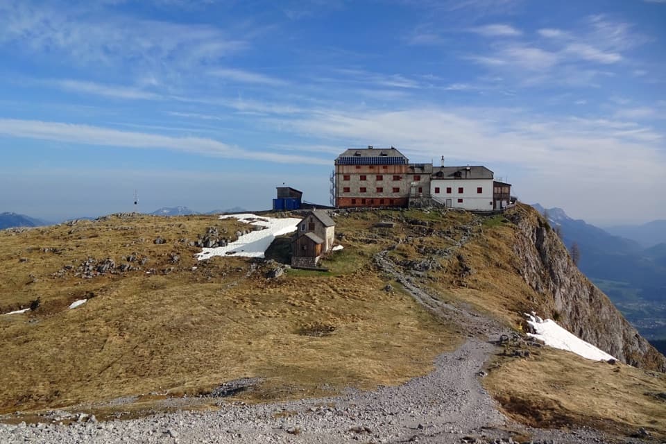
Mitterkaseralm is a staffed alpine-pasture hut at about 1,420 m, below Falzköpfl. The Watzmannhaus sits above it, and the hiking route passes the hut on the climb. I’d plan a break here as part of a Watzmann hike; this is an uphill walk in, not a quick drive-up meal.

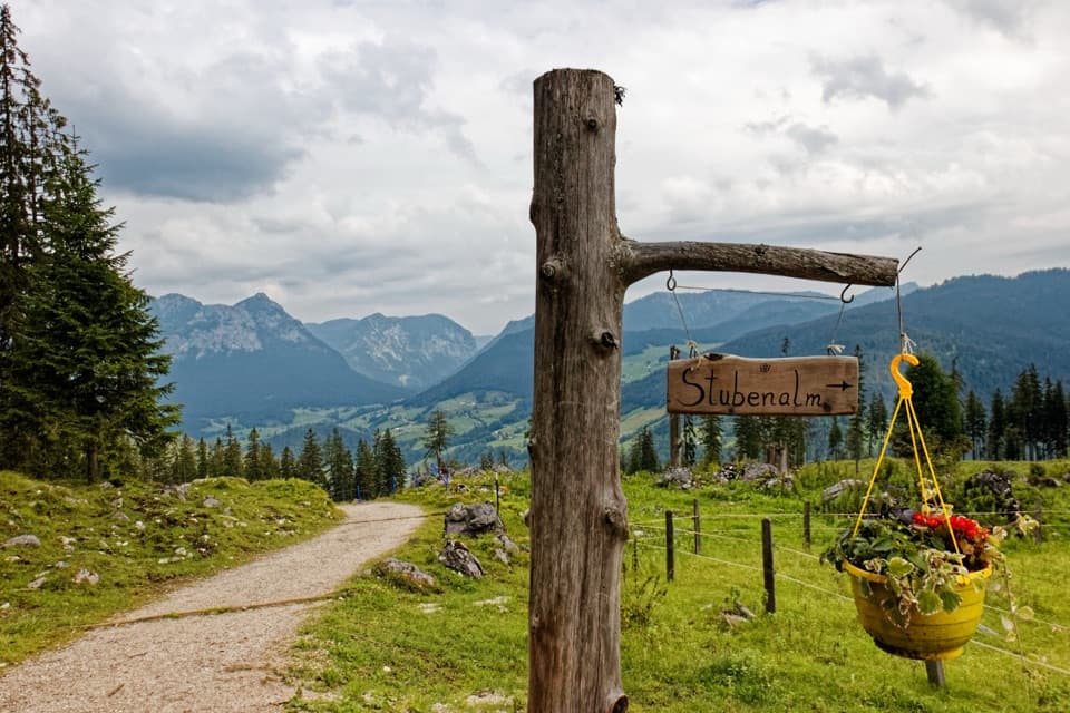
Getting to the hutFrom Wimbachbrücke, allow about three hours on marked Trail 441 via Stubenalm.

From Wimbachbrücke, allow about three hours on marked Trail 441 via Stubenalm. The approach follows a forest road, but it’s still a long uphill walk. From Hammerstiel, Trail 444 comes via Schapbachalm. At the upper end of the pasture, the paved way narrows into a mountain path toward Watzmannhaus.

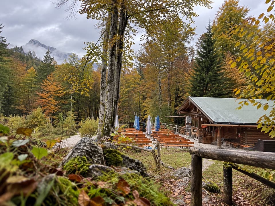
What to eatThe kitchen is geared to Brotzeit, or a light mountain snack.

The kitchen is geared to Brotzeit, or a light mountain snack. Homemade cakes are a favorite, and Kaspressknödel soup is another reported pick. Treat those as menu ideas rather than a promise; the daily offering can change.

A forest station in the pastureA forest climate station stands at the upper end of the alm.

A forest climate station stands at the upper end of the alm. It’s described as Europe’s only Level II monitoring site in a larch forest. About 120 kinds of vascular plants and mosses have been recorded there, the most at any Level II site in Germany.

A grim trail-side markerA plaque in the forest just beyond the hut remembers two poachers shot in the Watzmann region…

A plaque in the forest just beyond the hut remembers two poachers shot in the Watzmann region on November 3, 1841. It’s an unexpectedly sobering detail on a mountain-hut stop.

Wildlife

Wildlife in Berchtesgaden

All Berchtesgaden wildlife maps

Sighting maps show where each species has been reported across Berchtesgaden. Wildlife moves, so no sighting is guaranteed.

Keep exploring

Near Mitterkaseralm am Watzmann

See it all on the map

Trails nearby

More stops nearby

Parkwolf’s Berchtesgaden ranking

Top sights in Berchtesgaden

All 57 places
  1. 1KönigsseeSight
  2. 2St. Bartholomä Pilgrimage ChurchSight
  3. 3OberseeSight
  4. 4WimbachklammSight
  5. 5Haus der BergeSight
  6. 6HinterseeSight

Take Parkwolf to Berchtesgaden.

The audio tour guide for the drive, plus offline maps, trails, and wildlife heatmaps for when the signal drops.

4.7 from 8,600+ ratings

Download Parkwolf on the App StoreGet Parkwolf on Google Play