Parking
Use the large paid Königssee car park; the Seelände pier and ticket office are about a five-minute walk away. Take the boat to Salet. The walk ends at Wimbachbrücke, so arrange onward transport back to the start area.
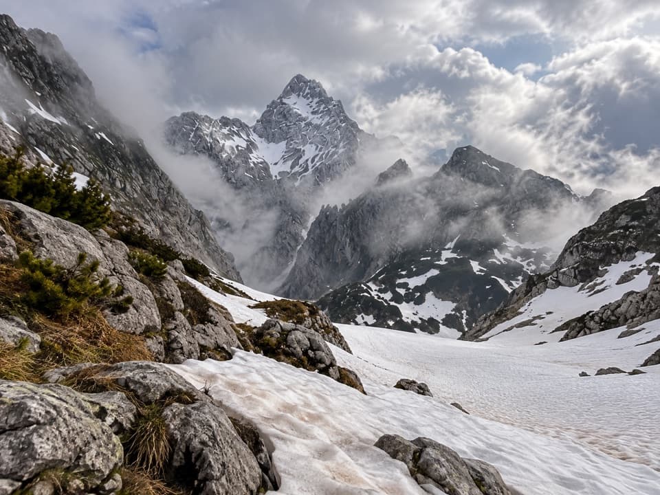
Berchtesgaden National Park, BY
Waterfalls, hut nights, and a hard crossing of bare alpine limestone.
Overview
Königssee – Steinernes Meer is a hard, three-day point-to-point crossing from Königssee Seelände to Wimbachbrücke in Ramsau. The official 44.1 km route line includes the required boat ride from Seelände to Salet: about 7.5 km on the map, followed by roughly 36.6 km on foot. The listed time is 16 hours, with 2,335 m of climbing and 2,289 m of descent. Choose it for a full crossing of the high plateau, not a lakeside stroll. You need two hut nights and the stamina for long alpine days.
 Parkwolf’s verdictIs this the three-day route for you?
Map & elevation
Plan your hike

The highest, rockiest slopes around here are a summer buffet for grizzly bears.
Berchtesgaden Tour Guide
Parkwolf is a GPS audio tour guide for Berchtesgaden National Park. As you drive, it chimes in with what’s ahead: hidden gems, upcoming stops, history, geology, and wildlife, right through your car’s speakers.
Recorded for this area
Jennerbahn: Ride Up for Königsblick“You're nearing the Jennerbahn valley station, where the gondola takes you high above Königssee. I'd choose this on a clear day, when you can enjoy the lake and the Watzmann across it.”
Plays on the road 0.4 km from the trailhead in the Parkwolf Berchtesgaden Tour Guide.
More stories near here in the app
“Fantastic app with many points of information… It’s great to just turn on while you’re driving and it gives you an audio tour of the national Park. We love it!!!!”


Trail guide
Take the first boat from Königssee to Salet. On foot, follow Obersee to Fischunkelalm and Röthbach Waterfall, then climb to Wasseralm. The official day-one route continues through Schwarzensee and Grünsee to Kärlingerhaus at Funtensee, where you spend the first night. The lake and waterfall are only the opening of a much longer day; the route climbs into remote mountain country after the shore.
From Kärlingerhaus, cross the broad, bare limestone plateau to Ingolstädterhaus for the second night. The optional climbs to Viehkogel and Feldkogel are side trips, not part of this mapped itinerary; leave them out unless you have the time and energy to add summits. The plateau is the trip’s defining stretch: pale broken rock under a wide mountain skyline, with the route continuing across rather than turning back toward Königssee.
Cross the plateau to Hundstodgatterl, descend by Trischübel into Wimbachgries, and follow the valley out to Wimbachbrücke. The finish is far from the boat landing, so plan your onward ride back to the Königssee area before setting out. Wimbachgries is a vast debris flow of crumbled dolomite, with deposits up to 300 m deep; the valley’s loose gray rock is a striking change from the high plateau above.
The high plateaus are made of Dachstein limestone formed from deposits in the ancient Tethys Ocean about 200 million years ago. Later tectonic movement folded and pushed those layers over one another. The limestone preserves megalodont fossils, the remains of large mussels from that former sea. By Wimbachgries, brittle dolomite has weathered into fine rubble that feeds the deep debris flow.
Use the large paid car park at Königssee; the pier and ticket office at Seelände are about a five-minute walk away. Salet is reached by boat or a full mountain route, so there is no lakeshore shortcut around the ferry. Book the two hut nights well ahead and confirm hut dates before committing. Dogs can join the route on leash in the National Park, but need a muzzle on the Königssee boat; check with both hut hosts when booking. Check current alpine conditions before starting this exposed high-country crossing.
Wildlife
 14 sightingsBearded VultureMost seen around noonSighting map
 29 sightingsGolden EagleMost seen around noonSighting map
 22 sightingsRed DeerMost seen around 6 PMSighting map
 131 sightingsAlpine ChamoisMost seen around 5 PMSighting map
 65 sightingsAlpine SalamanderMost seen around 11 AMSighting map
 63 sightingsAlpine MarmotMost seen around 9 AMSighting map
Sighting maps show where each species has been reported across Berchtesgaden. Wildlife moves, so no sighting is guaranteed.
Keep exploring
 EasyMalerwinkel-Rundweg3.4 km · 1.5 hr · At the trailheadA quick forest loop with Königssee and St. Bartholomä in view.
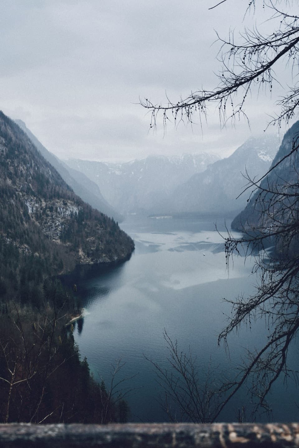 ModerateRabenwand via Malerwinkel Loop4.3 km · 2 hr · 0.1 km awayA rocky spur lifts the Malerwinkel loop above Königssee.
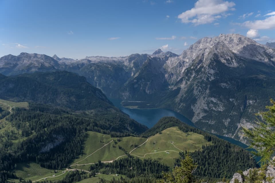 ChallengingJenner Summit via the Hochbahn10.7 km · 5.2 hr · 0.3 km awayA steep, storied climb from Königssee to the Jenner summit.
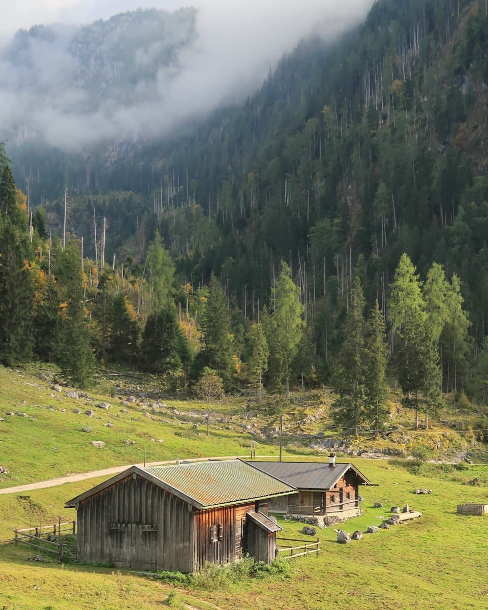 ChallengingKönigsbachalm – Gotzentalalm – Kessel10.8 km · 6 hr · 0.3 km awayTwo alpine pastures before a steep descent to Königssee.
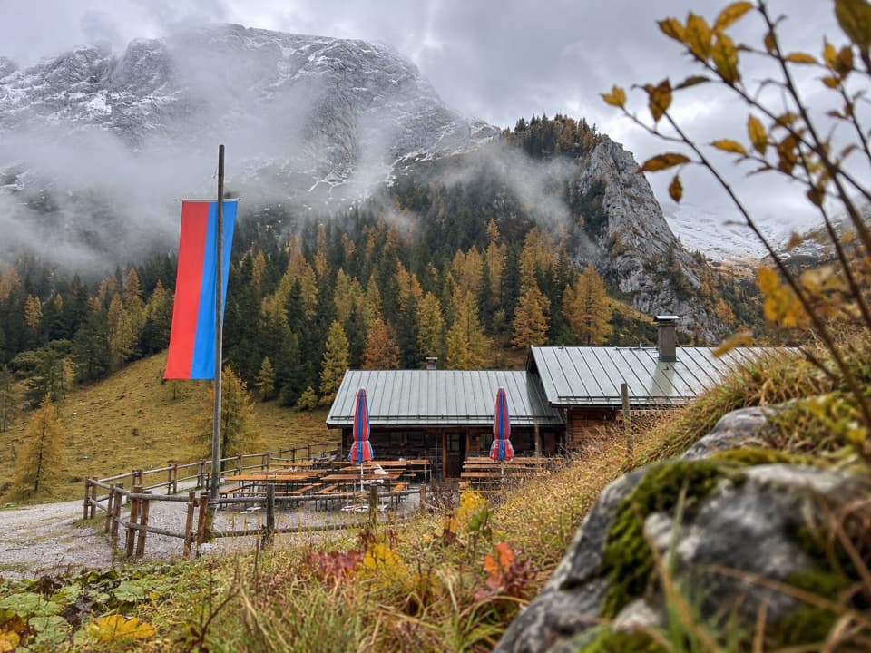 ModerateMitterkaseralm am Jenner9.3 km · 4 hr · 0.4 km awayA steep forest climb to a pasture inn below Jenner’s limestone ridge.
 ModerateKönigsbachalm via Hochbahn8.2 km · 3.8 hr · 0.4 km awayA steep forest climb ends at a mountain pasture above Königssee.
 ChallengingGotzenalm via Hochbahn Trail22.8 km · 8.7 hr · 0.5 km awayA long climb pays off at the Königssee’s cliff-edge lookout.
 ChallengingGroße Sommer-Reibn56.6 km · 1 days · 0.5 km awaySix days of huts, lakes and exposed passes in limestone country.
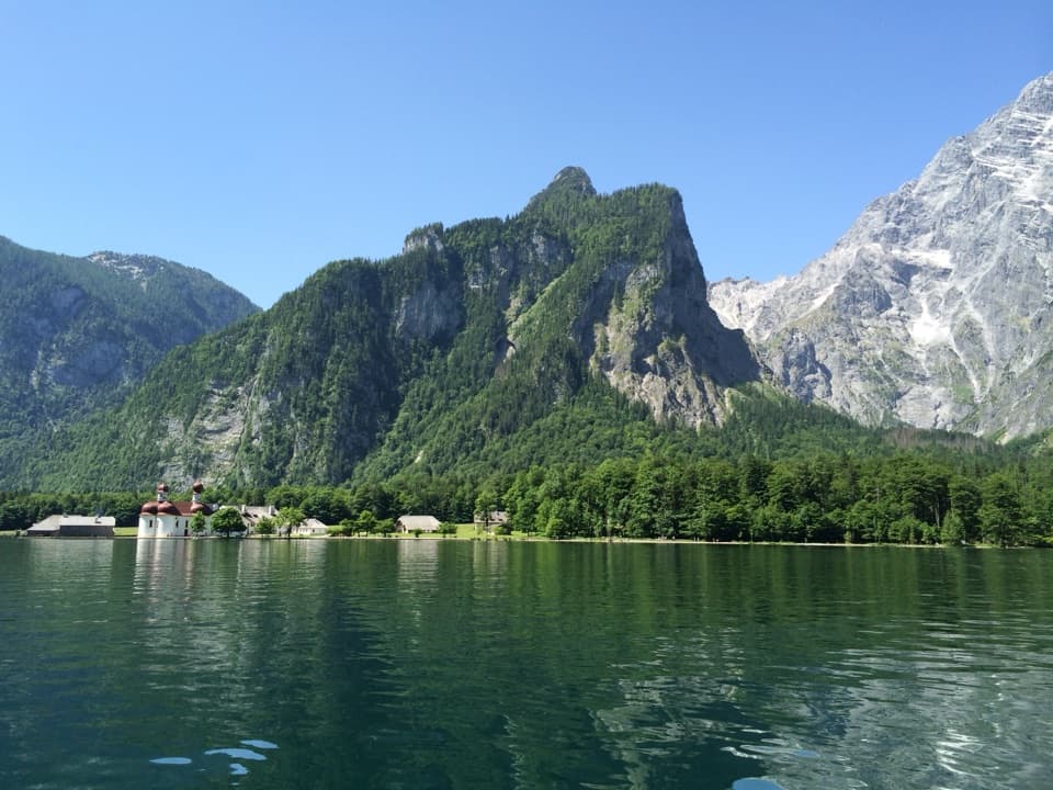 Sight · At the trailheadKönigsseeElectric boats cross deep green water beneath the Watzmann East Face.
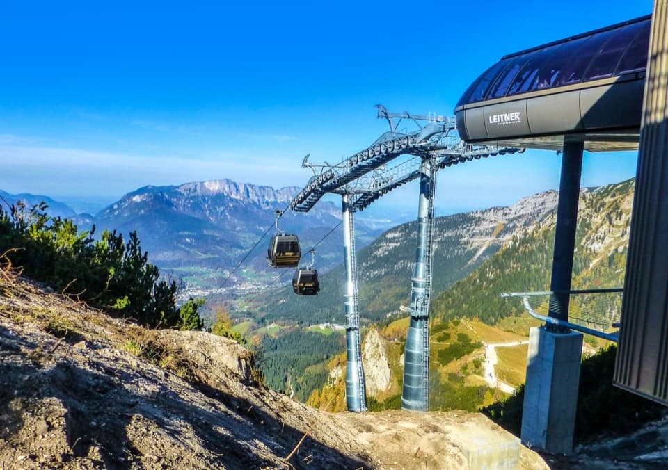 Sight · 0.6 km awayJennerbahnRide above Königssee, then see the park’s free rock-habitat exhibit.Sight · 0.7 km awayMalerwinkel ViewpointA short climb opens Königssee toward St. Bartholomä and Schönfeldspitze.
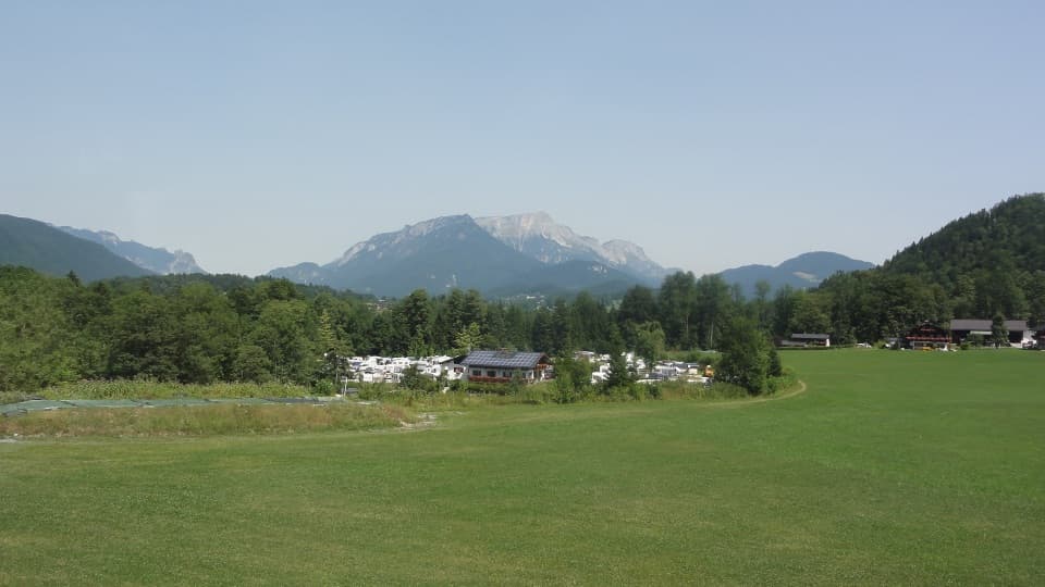 Campground · 0.8 km awayCamping GrafenlehenA walkable Königssee base with views of the Watzmann.
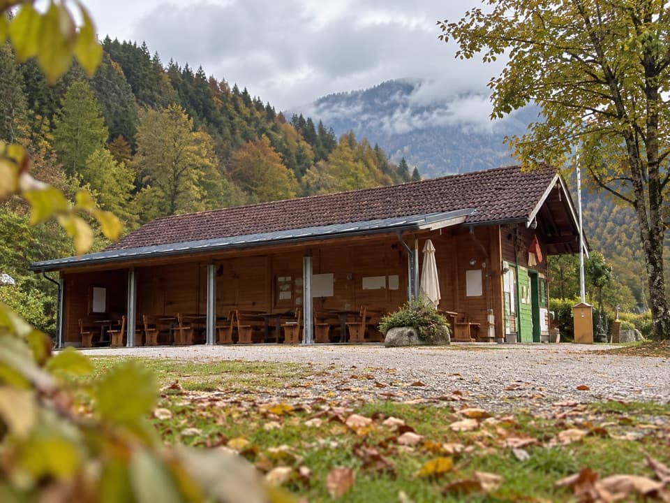 Campground · 1.3 km awayCamping MühlleitenA Königssee camping base with direct Watzmann views.
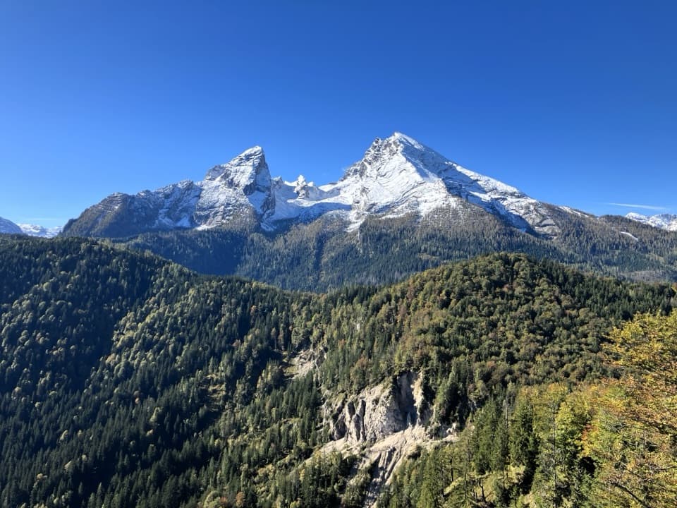 Sight · 1.9 km awayGrünstein Summit ViewpointA steep climb for Watzmann, Königssee and a hut stop below.
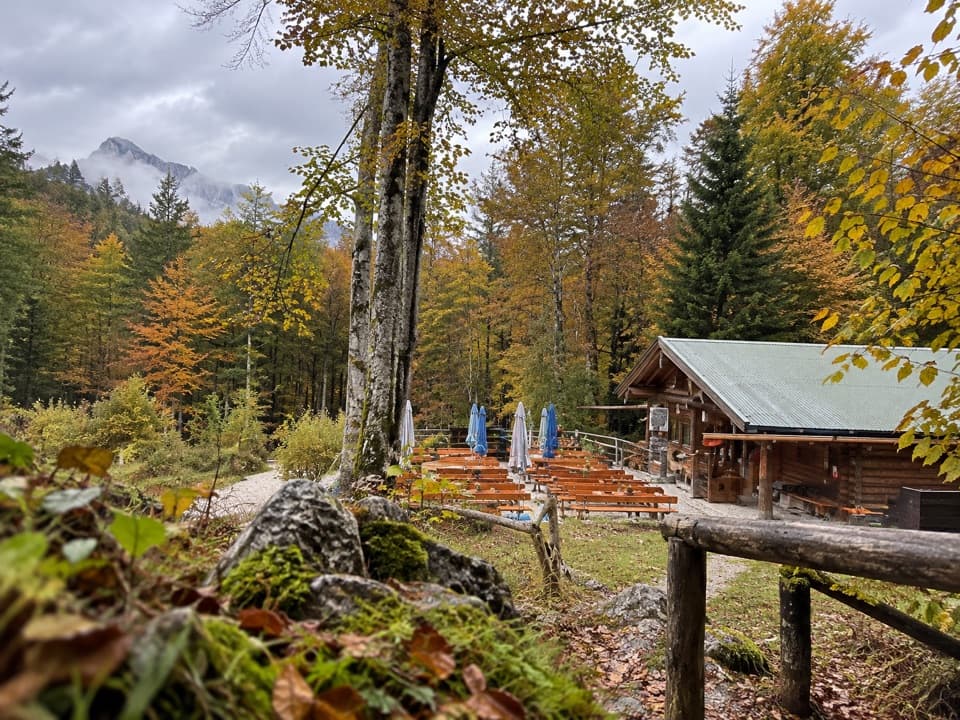 Restaurant · 2.1 km awayGrünsteinhütteA terrace stop for Kaiserschmarrn below Grünstein's summit.
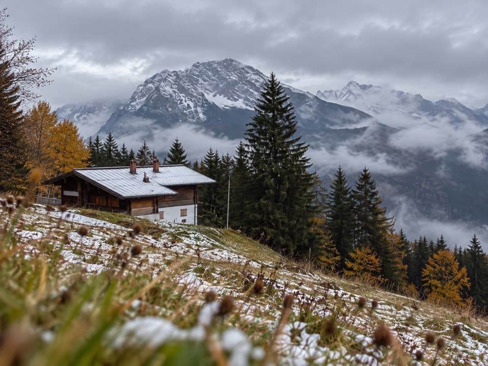 Restaurant · 2.1 km awayDr.-Hugo-Beck-HausWatzmann views reward the uphill walk to this Jenner hut.
Parkwolf’s Berchtesgaden ranking
The audio tour guide for the drive, plus offline maps, trails, and wildlife heatmaps for when the signal drops.



