Ragertalm in Berchtesgaden National Park

Sight · Berchtesgaden National Park

Ragertalm

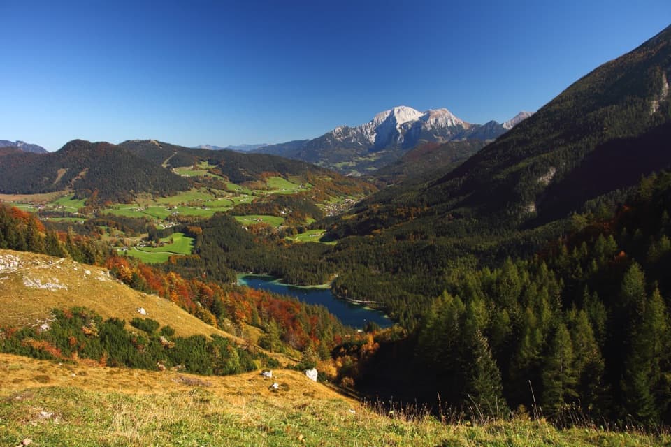
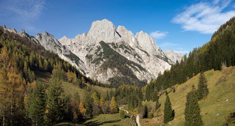
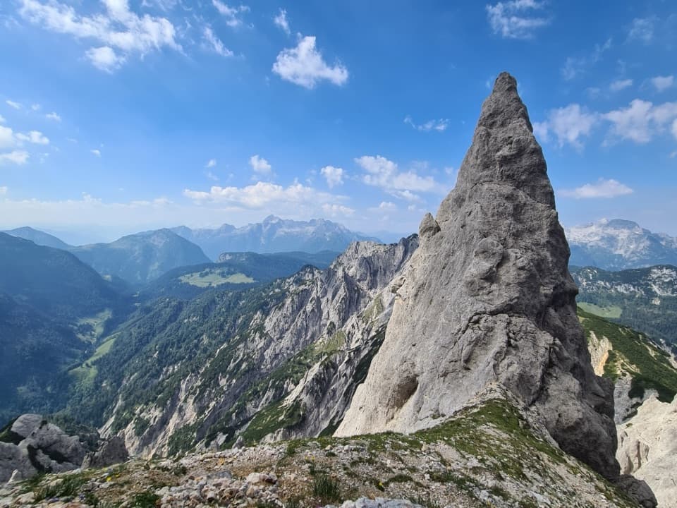
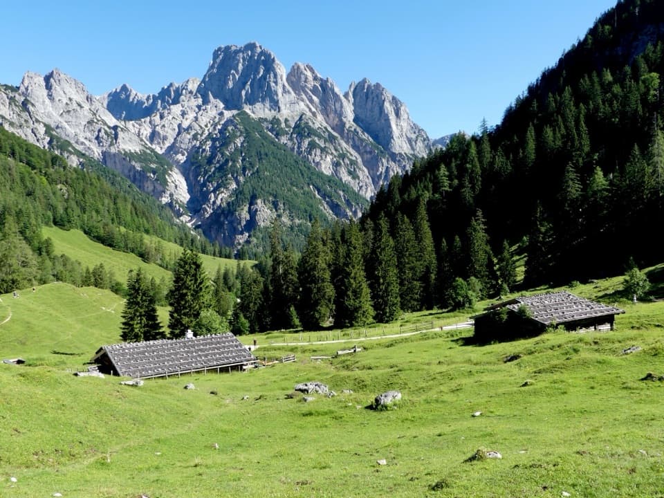
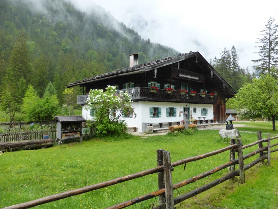
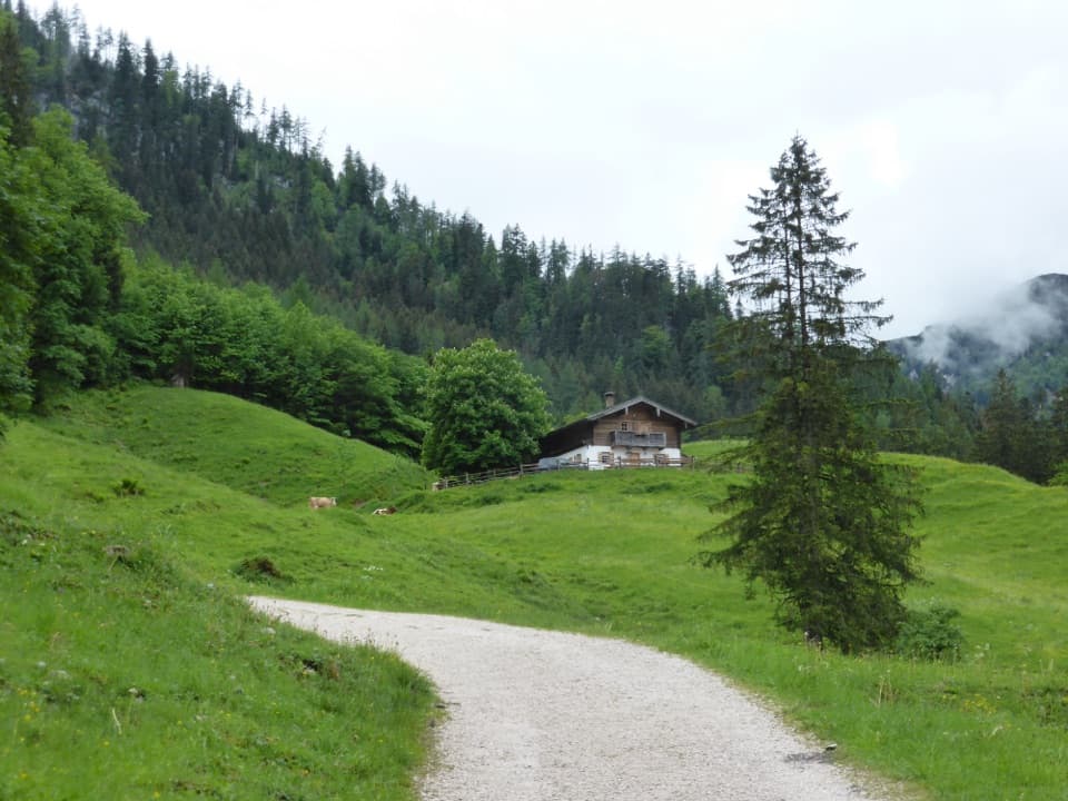
A flower-meadow walk to a seasonal hut above Klausbachtal.

Photo: Wikimedia Commons
Type
Sight
Nearest trail
2.6 km
Audio stories
1 nearby
  • Food

Hear the audio tour

Klausbachhaus and Golden Eagle Country

Overview

About Ragertalm

Why stop

  • A gentle valley walk with mountain views and a cheese-bread stop.

Heads up

  • The last stretch is steeper, and the hut operates seasonally.

Map

Where it is

Loading the Berchtesgaden map
Full map
SightRagertalm47.57977, 12.82111
Keep this map with you offline in the Parkwolf app

Plan your stop

Before you go

3 active Berchtesgaden alerts

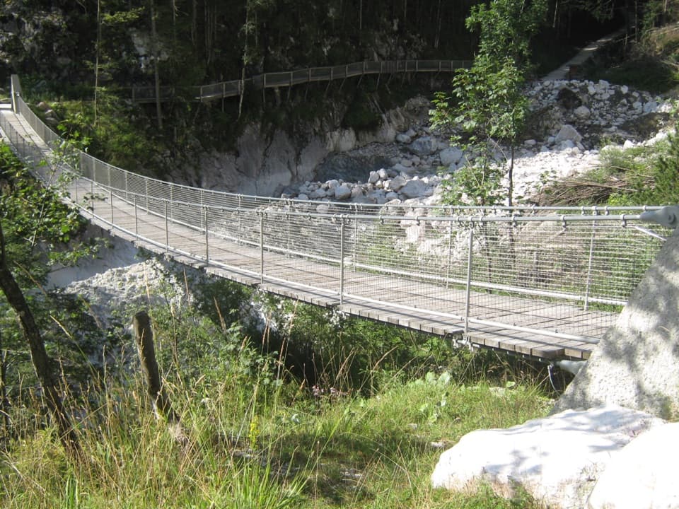
  • ClosureKlausbachtal trails closed for bridge and flood-protection workAvoid the closed Klausbachtal trail sections; the Klausbach cannot be crossed at the affected bridges. - Trail No.Official details
  • ClosureKönigsbach Waterfall Gumpen area closedDo not enter the area around the “Gumpen” pools at the Königsbach Waterfall on Königssee.Official details

See all 3 alerts
A park ranger sits on a dash-mounted phone, talking, as Parkwolf’s Tour Guide plays “Army Cutworm Moths: A Grizzly Bear Buffet” on Grand Loop Road below Dunraven Pass in Yellowstone
Parkwolf Tour GuideThe highest, rockiest slopes around here are a summer buffet for grizzly bears.

Berchtesgaden Tour Guide

Your drive to Ragertalm, narrated.

Parkwolf is a GPS audio tour guide for Berchtesgaden National Park. As you drive, it chimes in with what’s ahead: hidden gems, upcoming stops, history, geology, and wildlife, right through your car’s speakers.

Recorded for this area

Klausbachhaus and Golden Eagle Country
0:00 / 0:37
“Klausbachhaus is ahead, a useful stop before choosing a walk into Klausbach Valley.”

Plays on the road 2.8 km from Ragertalm in the Parkwolf Berchtesgaden Tour Guide.

More stories near here in the app

  • White Fur, Black Ear Tips
  • Hintersee and the Boulder Forest
  • Seeklause: The Climb to Blaueishütte
  • Measuring the Watzmann
  • 25 audio storiesacross Berchtesgaden’s roads, triggered by GPS as you drive
  • Wildlife heatmapsfor Bearded Vulture, Golden Eagle, Red Deer, and 13 more
  • Works offlinemaps, 71 trails, 57 places, and audio download before you lose signal
  • CarPlay readysimple controls built for the drive
★★★★★
“Fantastic app with many points of information… It’s great to just turn on while you’re driving and it gives you an audio tour of the national Park. We love it!!!!”
JMJamesApp Store review
Download Parkwolf on the App StoreGet Parkwolf on Google Play

4.7 from 8,600+ ratings

Guide

More about Ragertalm

A low-effort way to reach an alpine pastureRagertalm is a mountain pasture and hut at about 900 m in Klausbachtal, reached from…

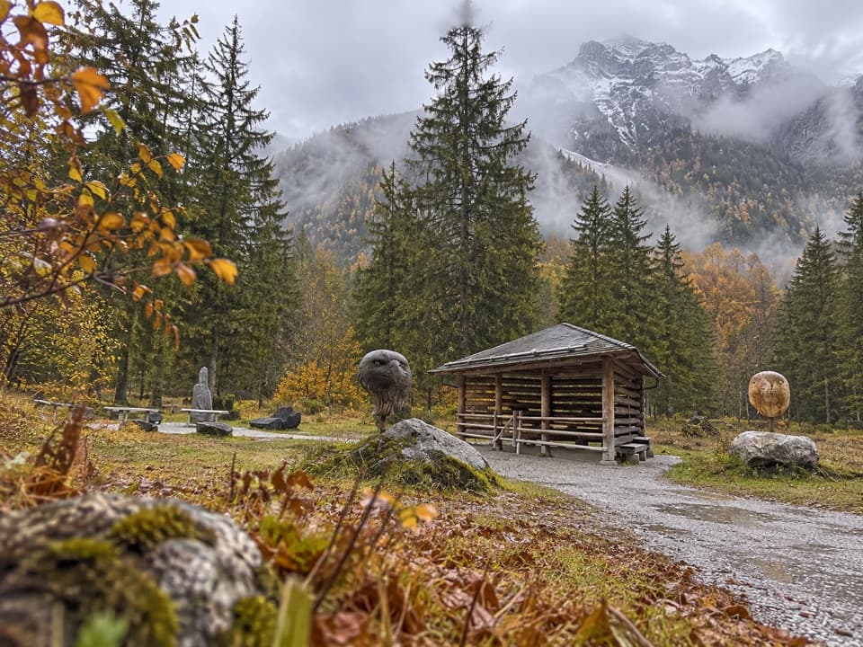
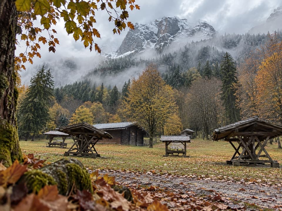
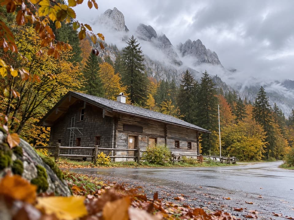
Ragertalm is a mountain pasture and hut at about 900 m in Klausbachtal, reached from Klausbachhaus at Hintersee. The easy walk is about 5.8 km there and back, with roughly 95 m of ascent and about 1½ hours on the route. Most of the way is broad and gentle; the final approach is steeper. Choose it for a relaxed valley outing and a hut stop, rather than a summit hike.

Trail 481 through meadow and woodlandStart at the national park information point by Klausbachhaus and follow trail 481.

Start at the national park information point by Klausbachhaus and follow trail 481. It leaves the asphalt and runs through open pasture and woodland, with flower meadows and juniper scrub. Pass the eagle observation point and the Lahnwald service hut, then cross a stream to the Alm; the park's route description returns by the same way. Cyclists also use the valley, so share the route carefully. Keep dogs on a lead and stay on marked paths.

Plan around the hutThe hut's short season usually reaches into mid-October, so check that it is open before…

The hut's short season usually reaches into mid-October, so check that it is open before planning a meal here. Visitors often mention cheese bread, sometimes called Ragert bread, and drinks. Treat those as a likely trail snack rather than a guaranteed menu; current hours and offerings vary.

Salt trade through KlausbachtalKlausbachtal was part of the old salt-trading route over Hirschbichl Pass, where packhorse…

Klausbachtal was part of the old salt-trading route over Hirschbichl Pass, where packhorse drivers carried Berchtesgaden salt toward Tyrol. The valley is known for its raptors, and the path passes an eagle observation point, though sightings are never guaranteed. Chamois and marmots also live in the area, so keep wildlife at a distance and remain on the marked route.

Wildlife

Wildlife in Berchtesgaden

All Berchtesgaden wildlife maps

Sighting maps show where each species has been reported across Berchtesgaden. Wildlife moves, so no sighting is guaranteed.

Keep exploring

Near Ragertalm

See it all on the map

Trails nearby

More stops nearby

Parkwolf’s Berchtesgaden ranking

Top sights in Berchtesgaden

All 57 places
  1. 1KönigsseeSight
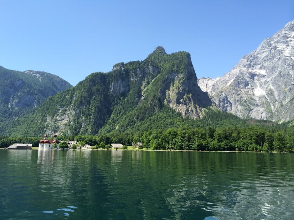
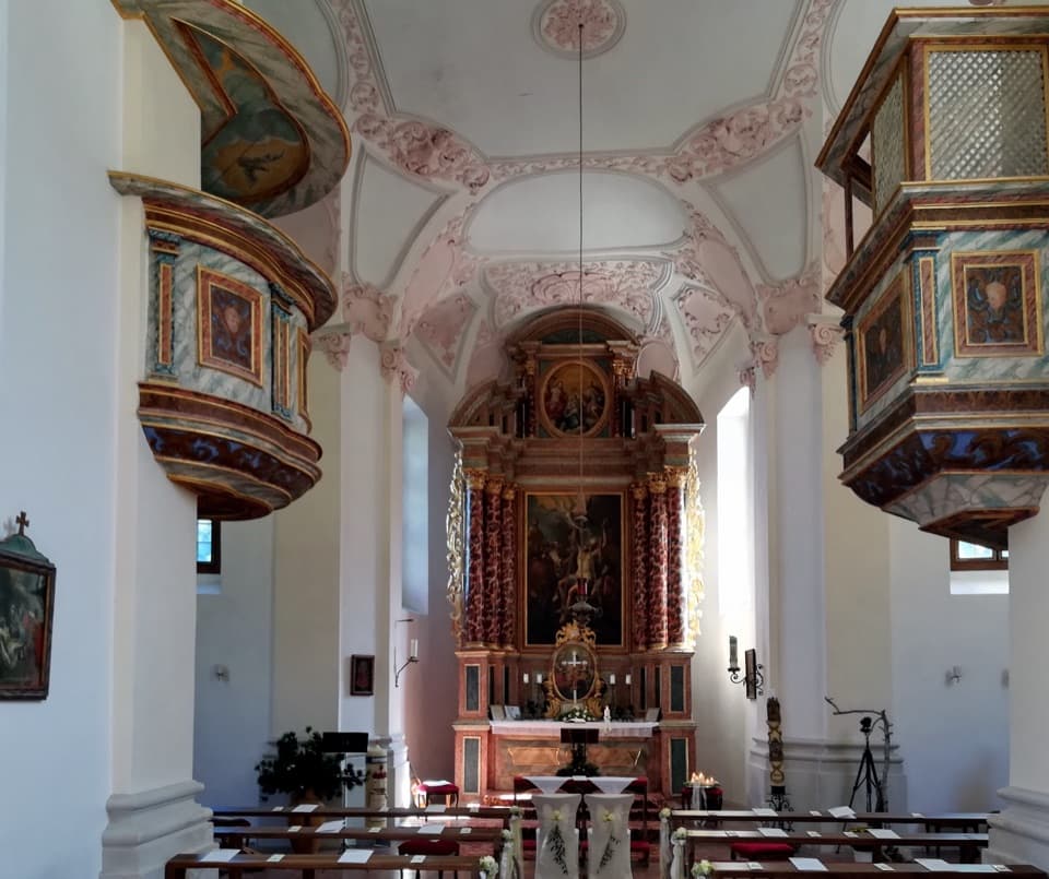
  2. 2St. Bartholomä Pilgrimage ChurchSight
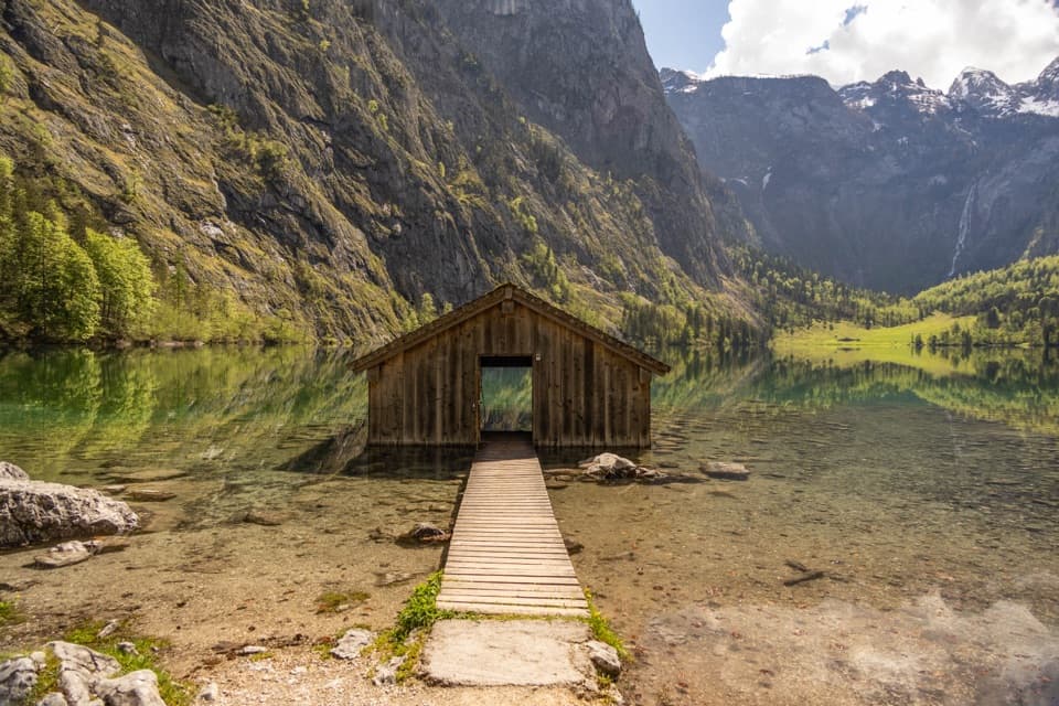
  3. 3OberseeSight
  4. 4WimbachklammSight
  5. 5Haus der BergeSight
  6. 6HinterseeSight

Take Parkwolf to Berchtesgaden.

The audio tour guide for the drive, plus offline maps, trails, and wildlife heatmaps for when the signal drops.

4.7 from 8,600+ ratings

Download Parkwolf on the App StoreGet Parkwolf on Google Play