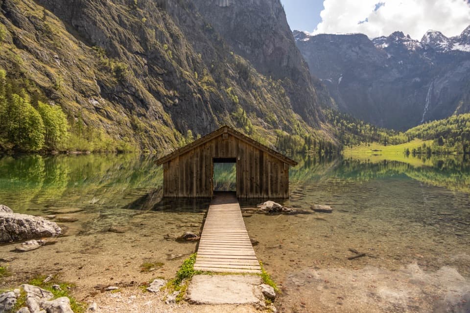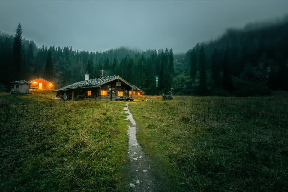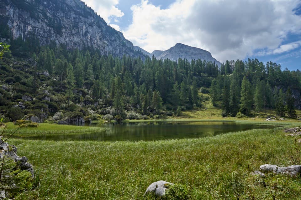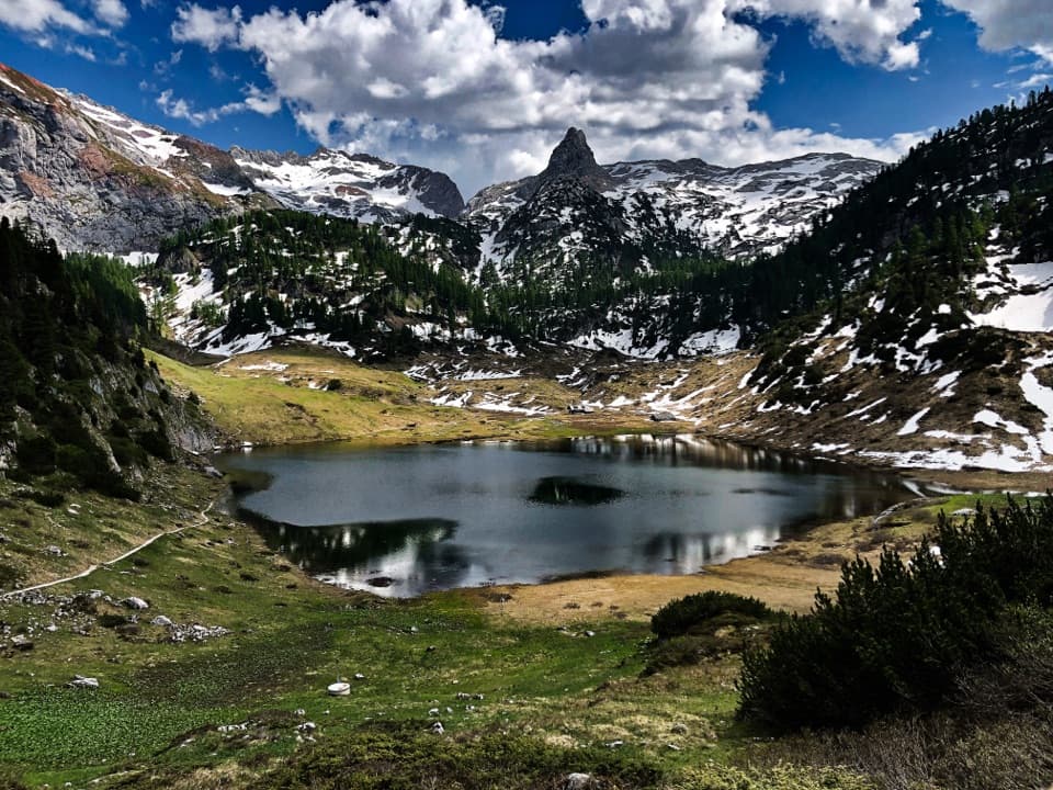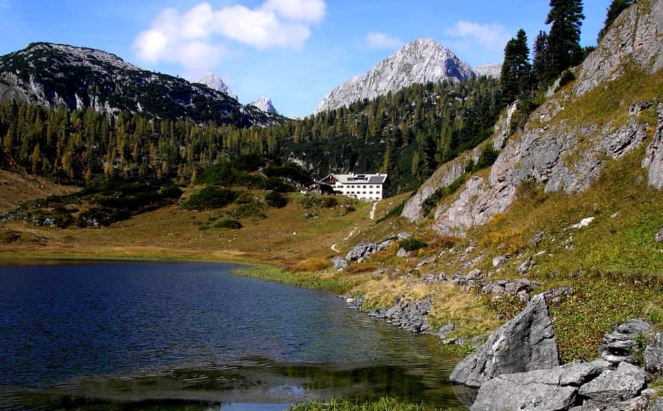
Kärlingerhaus in Berchtesgaden National Park

Lodging · Berchtesgaden National Park

Kärlingerhaus

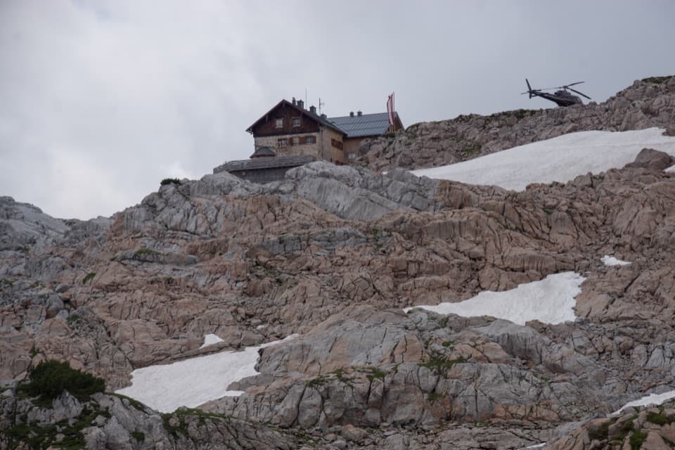
A high-alpine hut beside Funtensee, reached only on foot.

Photo: Public Domain

Overview

About Kärlingerhaus

Why stop

  • A rare overnight base beside Funtensee, with meals and high-plateau routes.

Heads up

  • Every approach requires a long mountain hike.

Map

Where it is

Loading the Berchtesgaden map
Full map
LodgingKärlingerhaus47.49547, 12.93713
Keep this map with you offline in the Parkwolf app

Plan your stop

Before you go

2 active Berchtesgaden alerts

  • ClosureKlausbachtal trail closuresTwo Klausbachtal trail sections are closed; use the Hirschbichlstraße (St 2099) to bypass them. - Trail No.Official details
  • ClosureKönigsbach Waterfall Gumpen area closedThe wide area around the “Gumpen” pools at Königsbach Waterfall is closed to visitors to protect recovering vegetation.Official details

Berchtesgaden alerts
A park ranger sits on a dash-mounted phone, talking, as Parkwolf’s Tour Guide plays “Army Cutworm Moths: A Grizzly Bear Buffet” on Grand Loop Road below Dunraven Pass in Yellowstone
Parkwolf Tour GuideThe highest, rockiest slopes around here are a summer buffet for grizzly bears.

Berchtesgaden Tour Guide

Your drive to Kärlingerhaus, narrated.

Parkwolf is a GPS audio tour guide for Berchtesgaden National Park. As you drive, it chimes in with what’s ahead: hidden gems, upcoming stops, history, geology, and wildlife, right through your car’s speakers.

  • 25 audio storiesacross Berchtesgaden’s roads, triggered by GPS as you drive
  • Wildlife heatmapsfor Bearded Vulture, Golden Eagle, Red Deer, and 13 more
  • Works offlinemaps, 71 trails, 57 places, and audio download before you lose signal
  • CarPlay readysimple controls built for the drive
★★★★★
“Fantastic app with many points of information… It’s great to just turn on while you’re driving and it gives you an audio tour of the national Park. We love it!!!!”
JMJamesApp Store review
Download Parkwolf on the App StoreGet Parkwolf on Google Play

4.7 from 8,600+ ratings

Guide

More about Kärlingerhaus

A remote hut above FuntenseeAt 1,638 m, Kärlingerhaus is a staffed DAV mountain hut on the Steinernes Meer plateau,…

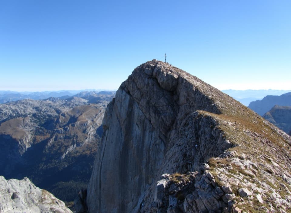
At 1,638 m, Kärlingerhaus is a staffed DAV mountain hut on the Steinernes Meer plateau, immediately above Funtensee. Hikers use it as an overnight stop on long crossings and as a base for nearby summits. Plan a reserved night if you are building a route around it; this is a remote mountain destination reached only on foot.

Plan the approachDAV estimates roughly 3.5–4 hours from St. Bartholomä and 4–4.5 hours from Salet Alm.

DAV estimates roughly 3.5–4 hours from St. Bartholomä and 4–4.5 hours from Salet Alm. Other approaches, including Wimbachgries, take longer. These are mountain hikes rather than a lakeside stroll, so make the trailhead and route conditions part of the plan. The staffed season generally runs May through October; reserve ahead, especially in peak season. A separate winter room requires advance reservation and has no cooking or heating. Dogs cannot stay overnight.

Meals and overnight staysFour dining rooms serve meals, making the hut a practical food stop as well as a place to sleep.

Four dining rooms serve meals, making the hut a practical food stop as well as a place to sleep. The hut has 160 sleeping places: 120 dormitory beds and 40 beds in four-person rooms. No dependable signature dish was established, so plan around the remote overnight stop rather than a particular menu item.

A hut with a long historyA Funtensee hut was built in 1879.

A Funtensee hut was built in 1879. After more than 400 overnight stays in 1889, the DAV section rebuilt and enlarged it slightly lower down; the new hut was completed in 1890. In 1910, Funtenseehaus was renamed Kärlingerhaus for section chairman Kajetan Kärlinger.

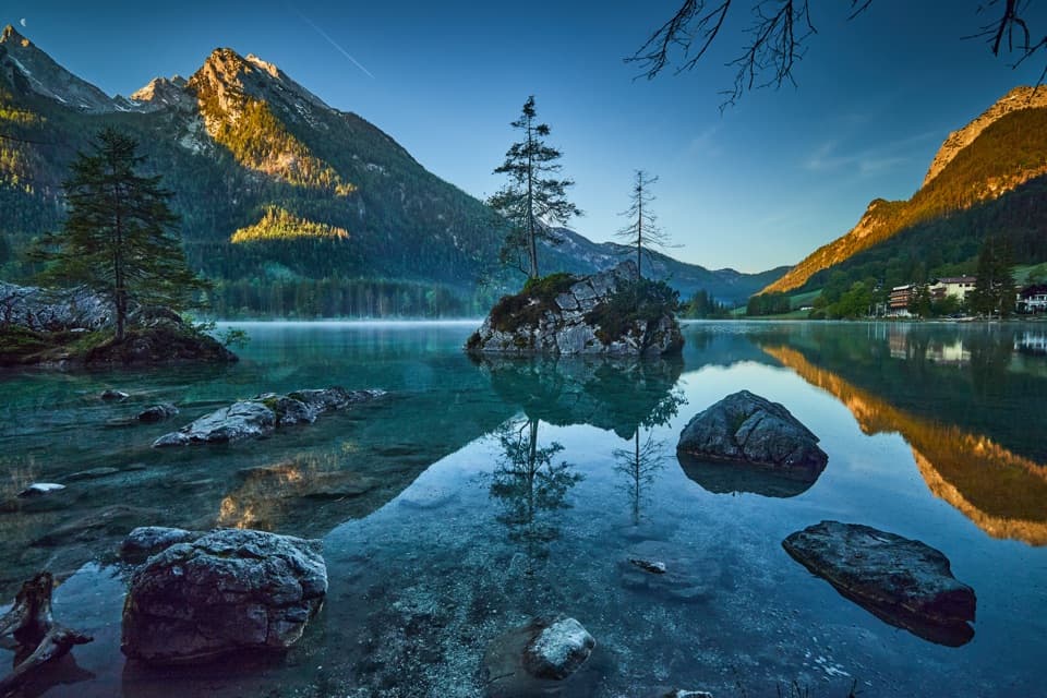
The cold basin below the hutFuntensee lies just below the hut in a basin that traps cold air during winter inversions.

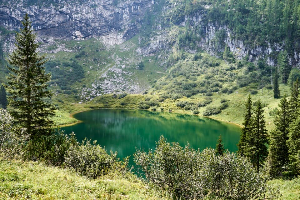
Funtensee lies just below the hut in a basin that traps cold air during winter inversions. A German low-temperature record of −45.9 °C was measured at the lake in December 2001; the hut, a few metres higher, can be up to 20 °C warmer, so this is a winter phenomenon rather than a summer expectation. The lake covers about 2.5 hectares, reaches 5.3 m deep and has no visible surface outlet; its underground outflow can be heard at Teufelsloch.

Pastoral tracesAlpine grazing continued around Funtensee into the 1960s, and a surviving Kaser, or alpine hut,…

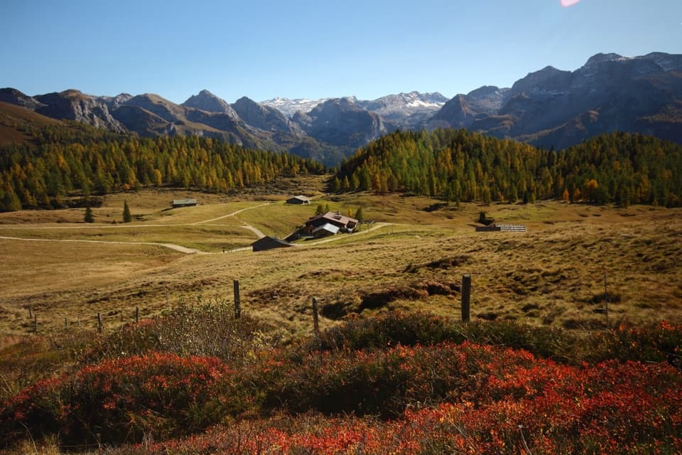
Alpine grazing continued around Funtensee into the 1960s, and a surviving Kaser, or alpine hut, recalls that use. A nearby gentian distillery makes Funtensee schnapps from locally dug roots that are processed on site.

A high-alpine pilgrimage routeOn the last weekend of August, Funtensee is a rest point on the Almer Wallfahrt, a high-alpine…

On the last weekend of August, Funtensee is a rest point on the Almer Wallfahrt, a high-alpine pilgrimage across the Steinernes Meer from Maria Alm toward Königssee and St. Bartholomä. The route can bring as many as 3,000 pilgrims across the plateau.

Wildlife

Wildlife in Berchtesgaden

All Berchtesgaden wildlife maps

Sighting maps show where each species has been reported across Berchtesgaden. Wildlife moves, so no sighting is guaranteed.

Keep exploring

Near Kärlingerhaus

See it all on the map

Trails nearby

More stops nearby

Parkwolf’s Berchtesgaden ranking

Top sights in Berchtesgaden

All 57 places
  1. 1KönigsseeSight
  2. 2St. Bartholomä Pilgrimage ChurchSight
  3. 3OberseeSight
  4. 4WimbachklammSight
  5. 5Haus der BergeSight
  6. 6HinterseeSight

Take Parkwolf to Berchtesgaden.

The audio tour guide for the drive, plus offline maps, trails, and wildlife heatmaps for when the signal drops.

4.7 from 8,600+ ratings

Download Parkwolf on the App StoreGet Parkwolf on Google Play