Parking
No vehicle access or parking at Kärlingerhaus. Reach the hut on foot; the established approach from St. Bartholomä follows the Saugasse (about 1,100 m ascent and 4 hours). Plan the summit outing from the hut, usually with an overnight stay.
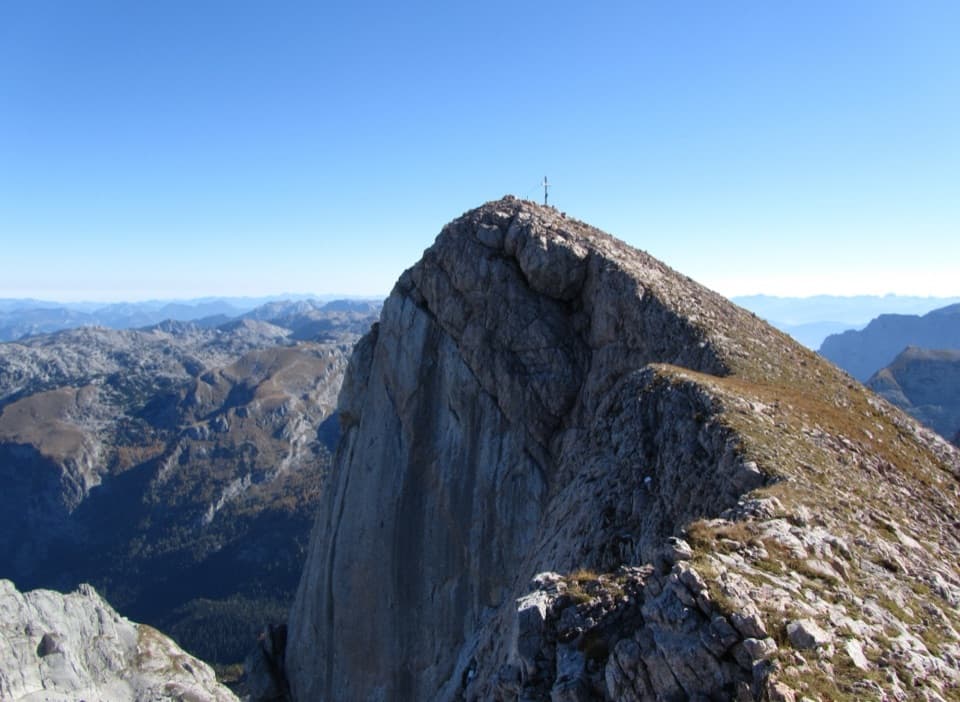
Berchtesgaden National Park, BY
A high, exposed summit above the cold basin of Funtensee.
Overview
Map & elevation
Plan your hike

The highest, rockiest slopes around here are a summer buffet for grizzly bears.
Berchtesgaden Tour Guide
Parkwolf is a GPS audio tour guide for Berchtesgaden National Park. As you drive, it chimes in with what’s ahead: hidden gems, upcoming stops, history, geology, and wildlife, right through your car’s speakers.
“Fantastic app with many points of information… It’s great to just turn on while you’re driving and it gives you an audio tour of the national Park. We love it!!!!”


Trail guide
Funtenseetauern from Kärlingerhaus is a hard out-and-back to the 2,578 m summit above Funtensee: about 5.6 miles (9 km) round trip and 3,100 feet (950 m) of climbing. Allow around six hours from the hut; add the time to hike in to Kärlingerhaus. I’d save it for hikers comfortable with steep, rocky ground and exposed scrambling. The hut makes a sensible overnight base; the long walk up from Königssee is usually split over two days.
Leave the hut by dropping to Funtensee and following its north shore. At the junction beyond the lake, take the right branch onto Weg 429. The trail rises gently at first, then steepens toward the saddle between Stuhlgrabenkogel and Stuhlwand. From there it bends northeast and climbs more sharply to Stuhljoch (2,443 m). The lakeside start is deceptive: you lose some height from the hut before the main climb begins.
Just before Stuhljoch, the route offers two lines. The left-hand option follows the exposed crest, with brief hands-on steps graded UIAA I–II; the right-hand option traverses below across the eastern slopes. They rejoin on a broader ridge before the final climb. The mapped line follows the crest, so hikers taking the lower traverse will see a slightly different track. Excellent sure-footedness and comfort with exposure matter here, and the mountain needs stable weather. Keep this as the hut-to-summit out-and-back; longer ridge traverses beyond the summit are a different outing.
Beyond the join, the crest narrows and steepens again. Two rises lead to the summit cross at 2,578 m. The reward is a high view across the pale, broken limestone of the Steinernes Meer, with Funtensee far below. On the final rise, look back along the ridge; the summit cross reads best with the steep limestone shoulder in frame. Return the same way instead of continuing into a through-route.
Funtensee is a small karst lake at 1,633 m, about 2.5 hectares across and 5.3 m deep. Its water drains underground; at Teufelsloch, the outflow can be heard even though there is no surface stream. Cold air settles in the basin. A private station recorded −45.9 °C on Christmas Eve 2001, and the hut just above the lake can be up to 20 °C warmer. Trees become smaller toward the shore, an unusual downward tree line; the basin was grazed until the 1960s.
Kärlingerhaus is a staffed alpine hut with beds and a winter room, a remote starting point reached on foot. It is usually staffed from May to October; confirm that year’s dates and meal and water arrangements before relying on them. The first hut here opened in 1879 and was renamed Kärlingerhaus in 1910 for section chair Kajetan Kärlinger. One established approach from St. Bartholomä climbs through the Saugasse in about four hours and 1,100 m; plan to reach the hut before the summit day. Dog rules for the summit route were not confirmed, so check before bringing one.
Wildlife
 14 sightingsBearded VultureMost seen around noonSighting map
 29 sightingsGolden EagleMost seen around noonSighting map
 22 sightingsRed DeerMost seen around 6 PMSighting map
 131 sightingsAlpine ChamoisMost seen around 5 PMSighting map
 65 sightingsAlpine SalamanderMost seen around 11 AMSighting map
 63 sightingsAlpine MarmotMost seen around 9 AMSighting map
Sighting maps show where each species has been reported across Berchtesgaden. Wildlife moves, so no sighting is guaranteed.
Keep exploring
 ModerateViehkogel from Kärlingerhaus5 km · 4 hr · At the trailheadA steep two-hour ascent to broad views over Funtensee.
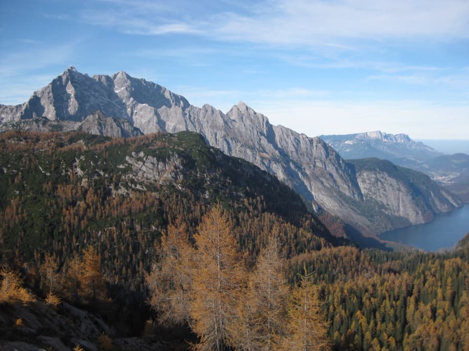 ModerateFeldkogel from Kärlingerhaus4.1 km · 2 hr · At the trailheadA short summit spur above Funtensee, with a view over Königssee.
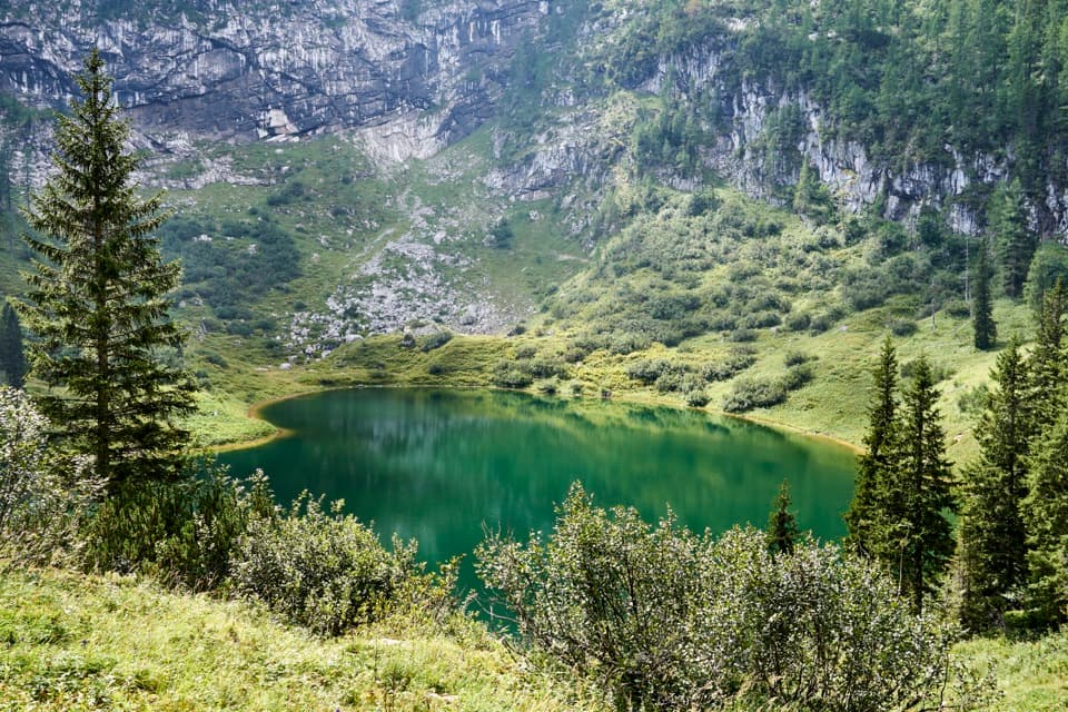 ChallengingSagereckersteig7.4 km · 4 hr · At the trailheadA steep alpine descent links Funtensee’s hut to the Königssee shore.
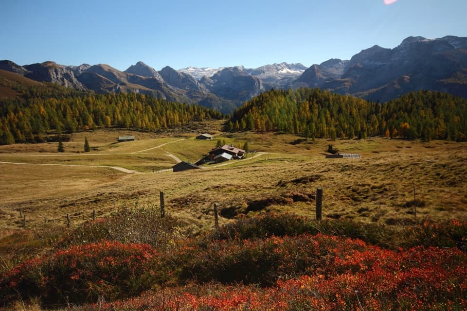 ChallengingGotzenalm via Kaunersteig15.8 km · 8 hr · 4.2 km awayA steep climb earns a balcony over Königssee.
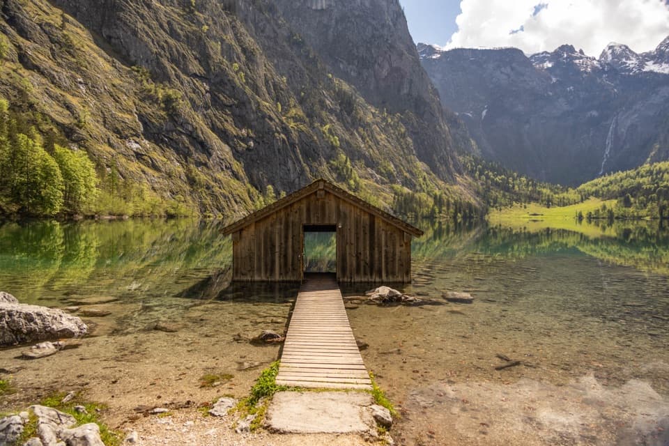 EasyObersee Accessible Trail2 km · 1 hr · 4.3 km awayA gentle lakeside walk ends at Obersee’s little boathouse.
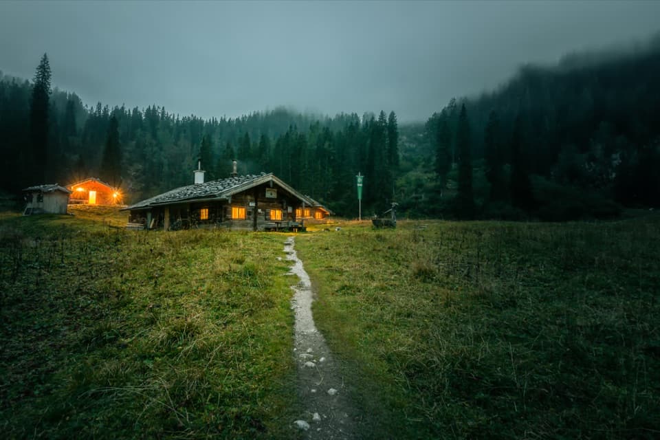 ChallengingWasseralm via Röthsteig13 km · 6.5 hr · 4.3 km awayA hard climb to a hut meadow above Obersee.
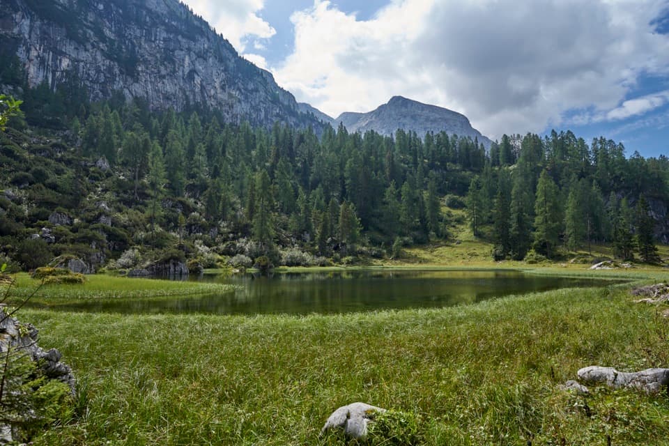 ChallengingHalsköpfl – Wasseralm-Runde17.2 km · 8.5 hr · 4.3 km awayA long alpine circuit with a broad view over Königssee
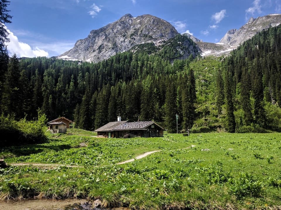 ChallengingWasseralm via Landtalsteig16.7 km · 7 hr · 4.3 km awayA steep, boat-served 10.4-mile climb to Wasseralm and back.
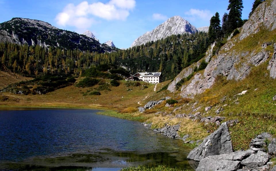 Lodging · At the trailheadKärlingerhausA high-alpine hut beside Funtensee, reached only on foot.
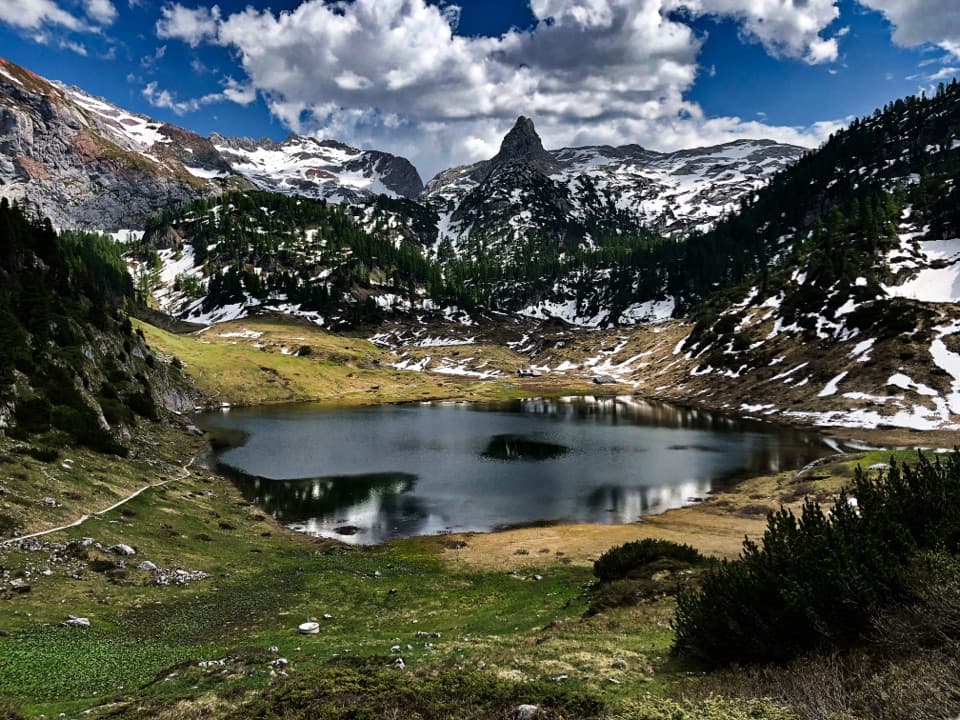 Sight · At the trailheadFuntenseeA high alpine lake with a famously cold basin, reached on foot.
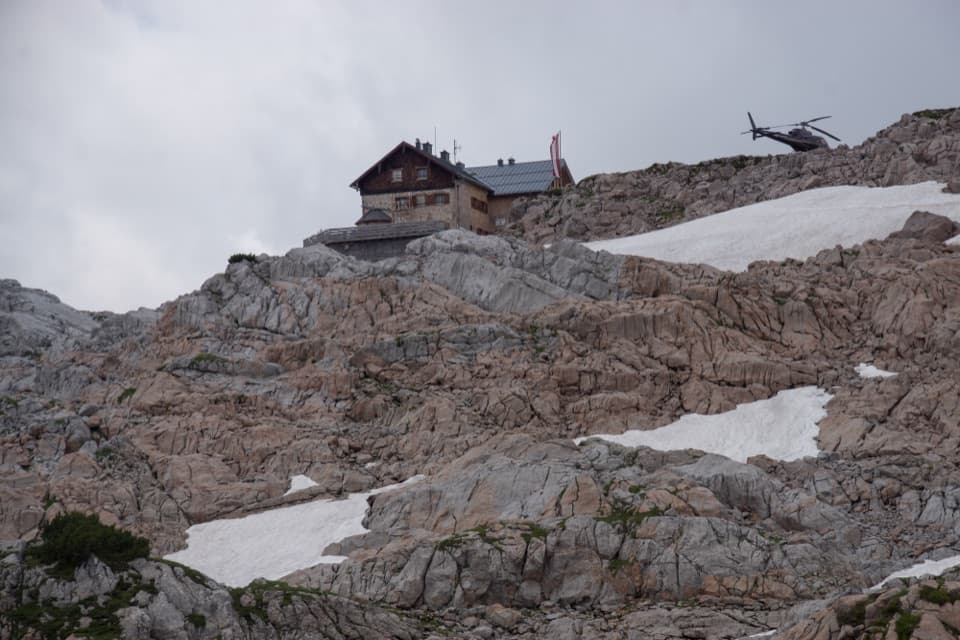 Lodging · 3.8 km awayIngolstädter HausA high-alpine hut for long climbs and Steinernes Meer nights.
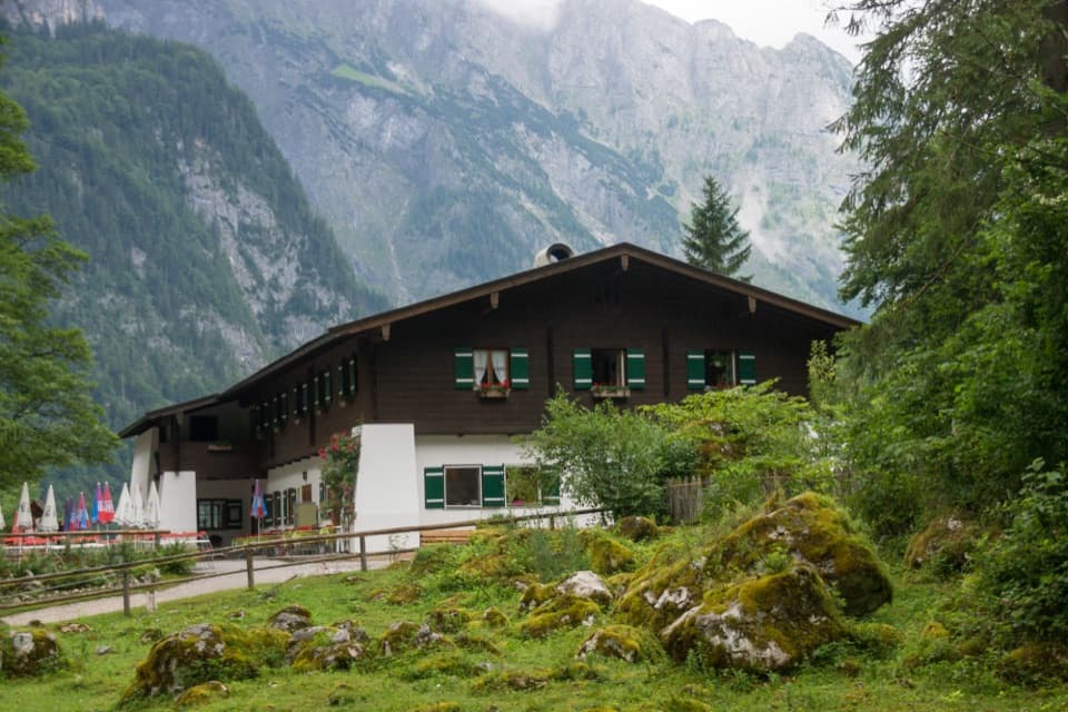 Restaurant · 4.1 km awaySaletalmLunch before the Obersee walk, with a beer garden under limestone cliffs.
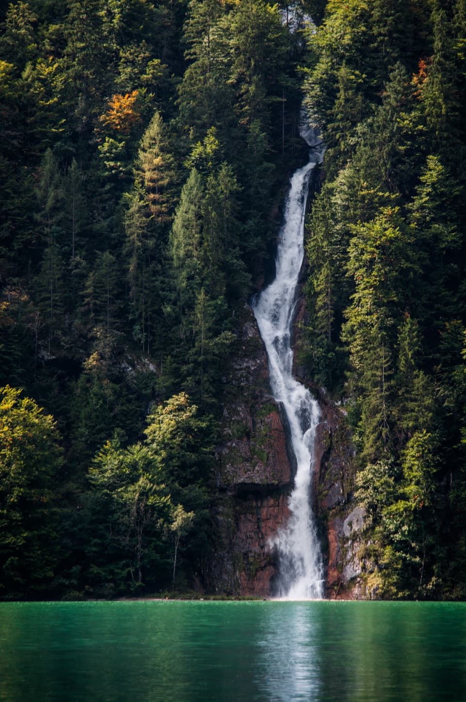 Sight · 4.3 km awaySchrainbach WaterfallA 30-minute walk from St. Bartholomä reaches the 80-meter falls.Sight · 4.4 km awayOberseeAn emerald lake with a mountain wall and waterfall behind it.
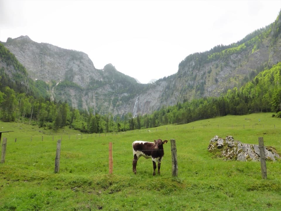 Restaurant · 4.8 km awayFischunkelalmA dairy stop on Obersee’s far shore, reached by boat and trail.Lodging · 5.2 km awayWasseralmA simple hut night deep in the Königssee backcountry.
Parkwolf’s Berchtesgaden ranking

The audio tour guide for the drive, plus offline maps, trails, and wildlife heatmaps for when the signal drops.





