Parking
Kärlingerhaus is not road-accessible. Reach it on foot from St. Bartholomä/Königssee or Salet by separate mountain routes; plan that approach apart from the 2.5-mile hut–summit–hut walk.
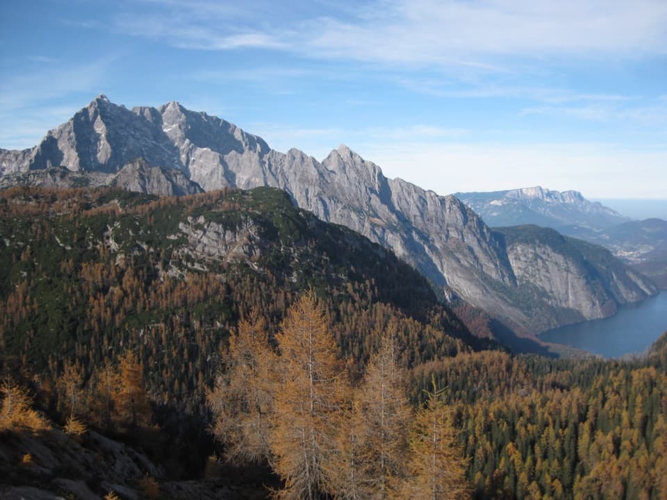
Berchtesgaden National Park, BY
A short summit spur above Funtensee, with a view over Königssee.
Overview
Map & elevation
Plan your hike

The highest, rockiest slopes around here are a summer buffet for grizzly bears.
Berchtesgaden Tour Guide
Parkwolf is a GPS audio tour guide for Berchtesgaden National Park. As you drive, it chimes in with what’s ahead: hidden gems, upcoming stops, history, geology, and wildlife, right through your car’s speakers.
“Fantastic app with many points of information… It’s great to just turn on while you’re driving and it gives you an audio tour of the national Park. We love it!!!!”


Trail guide
Feldkogel from Kärlingerhaus is a mountain-path out-and-back from the Funtensee shore to the 1,886 m summit. Allow about 4.1 km (2.5 miles) round trip, with roughly 275 m of ascent and about two hours for the outing. The mapped hut-to-summit leg is about 2 km; the climb takes around an hour. It is a worthwhile short side hike when you are already at Kärlingerhaus. The hut is the start, not a drive-up trailhead: reaching it from the lake is a separate mountain hike.
Leave the hut, drop toward Funtensee, and follow the left bank to a fork. A short rock ledge leads onto alpine meadows, then an earthy path crosses a light forested slope into rocky, grassy hollows. The route reaches a saddle beneath the northern cliffs; a narrow rock band leads to the summit cross. This is short but uneven mountain ground rather than a flat lakeside stroll, and the upper rock section calls for sure footing.
The summit itself is low-key, but the view opens over Königssee toward the Watzmann ridge. For a photo, frame the jagged peaks above the larches and keep the lake at the right edge; that gives the view a clear foreground and shows how far the cliffs drop toward the water.
The enclosed basin traps cold air; Funtensee recorded −45.9°C on 24 December 2001. Marmots and chamois live around the basin, and the strictly protected Pannonian gentian grows here, so leave its flowers undisturbed. Kärlingerhaus dates to 1879; the current two-storey building was completed in 1904, and the hut took its present name in 1910. It has dining rooms and a lake-view terrace and normally operates from May through October.
Wildlife
 14 sightingsBearded VultureMost seen around noonSighting map
 29 sightingsGolden EagleMost seen around noonSighting map
 22 sightingsRed DeerMost seen around 6 PMSighting map
 131 sightingsAlpine ChamoisMost seen around 5 PMSighting map
 65 sightingsAlpine SalamanderMost seen around 11 AMSighting map
 63 sightingsAlpine MarmotMost seen around 9 AMSighting map
Sighting maps show where each species has been reported across Berchtesgaden. Wildlife moves, so no sighting is guaranteed.
Keep exploring
 ModerateViehkogel from Kärlingerhaus5 km · 4 hr · At the trailheadA steep two-hour ascent to broad views over Funtensee.
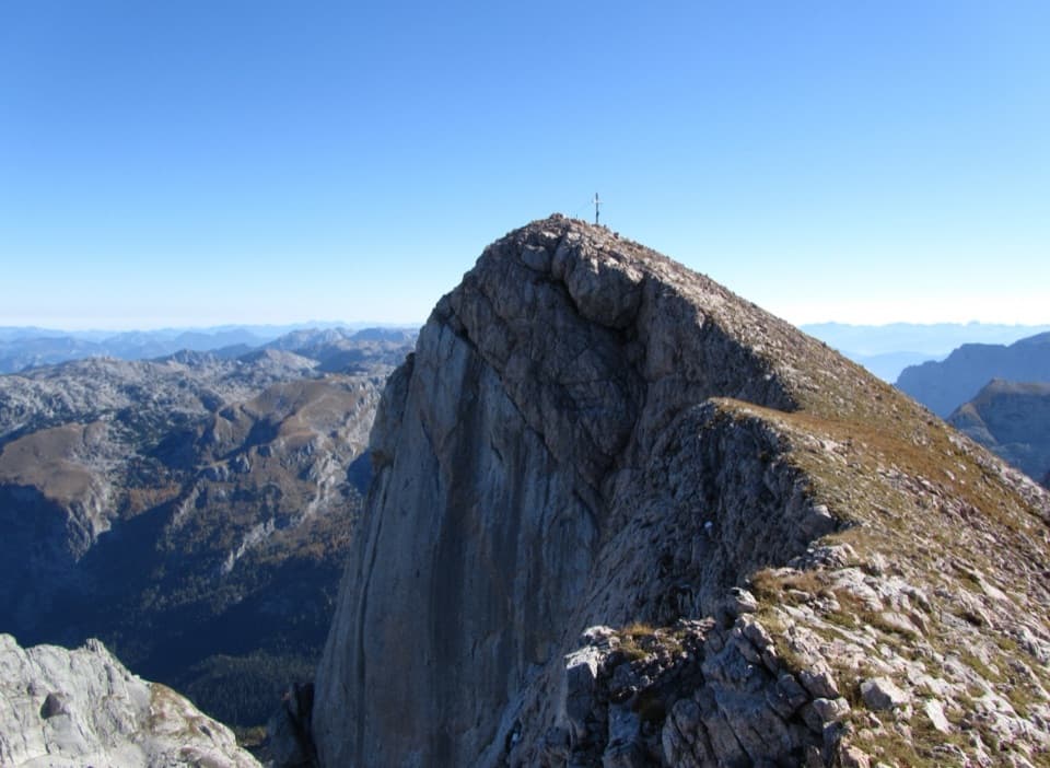 ChallengingFuntenseetauern vom Kärlingerhaus9 km · 6 hr · At the trailheadA high, exposed summit above the cold basin of Funtensee.
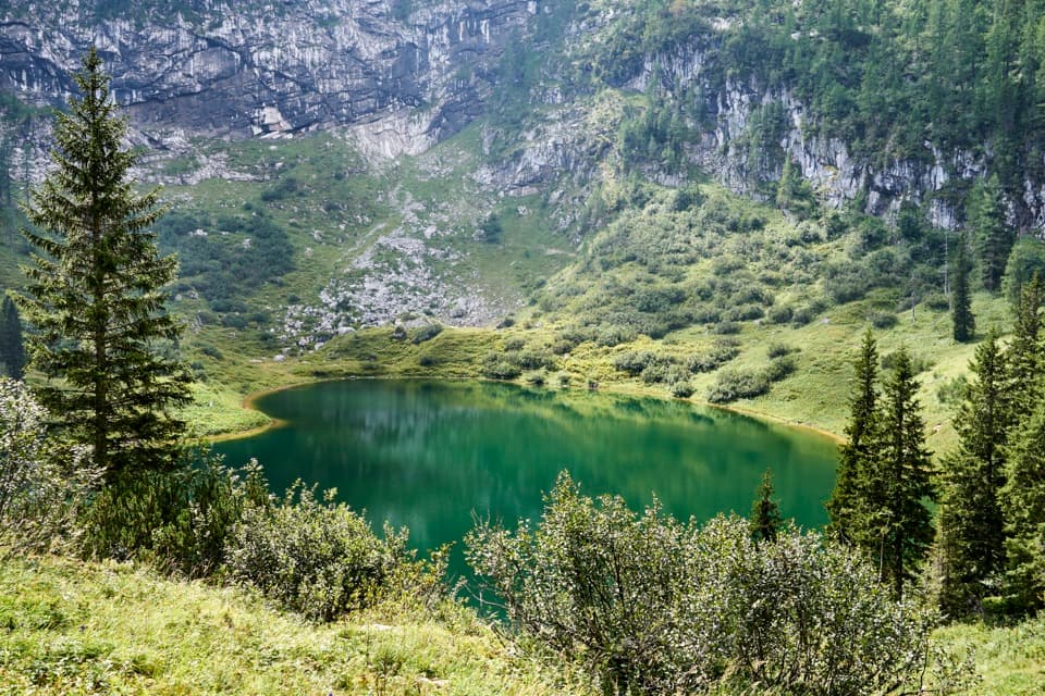 ChallengingSagereckersteig7.4 km · 4 hr · At the trailheadA steep alpine descent links Funtensee’s hut to the Königssee shore.
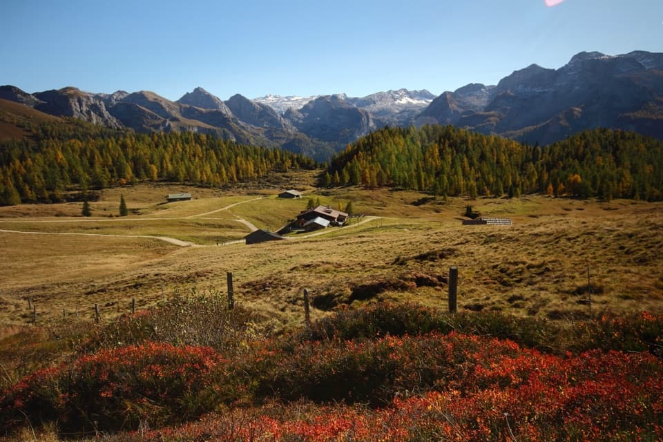 ChallengingGotzenalm via Kaunersteig15.8 km · 8 hr · 4.2 km awayA steep climb earns a balcony over Königssee.
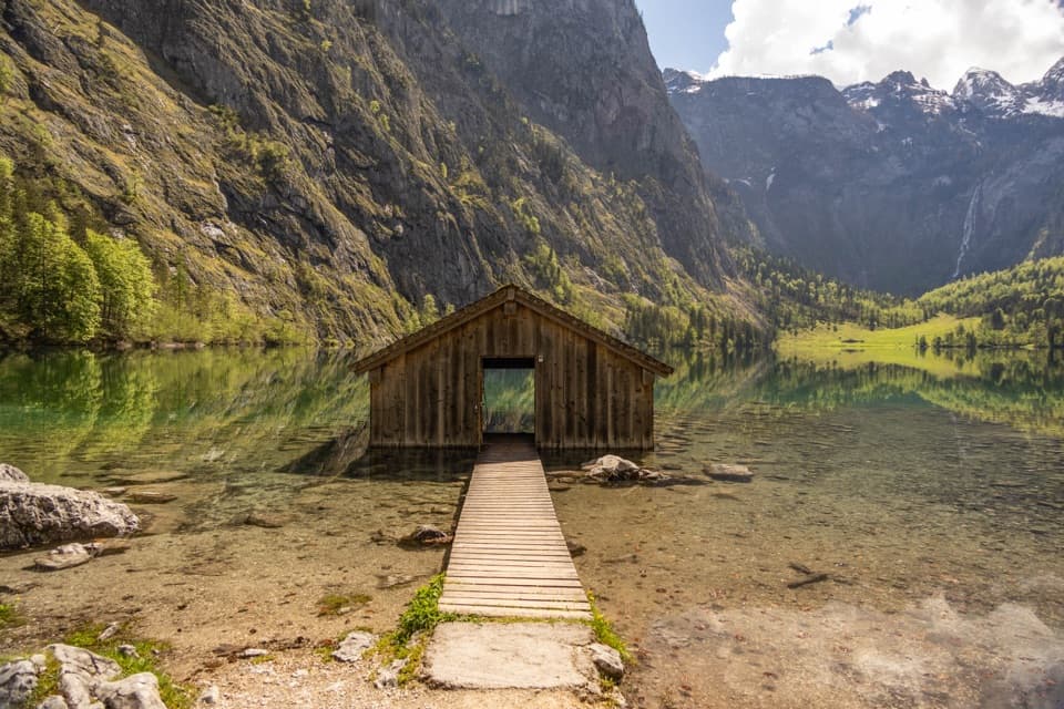 EasyObersee Accessible Trail2 km · 1 hr · 4.3 km awayA gentle lakeside walk ends at Obersee’s little boathouse.
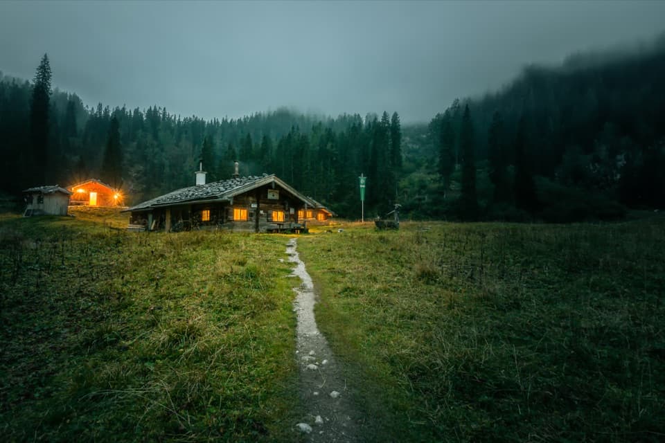 ChallengingWasseralm via Röthsteig13 km · 6.5 hr · 4.3 km awayA hard climb to a hut meadow above Obersee.
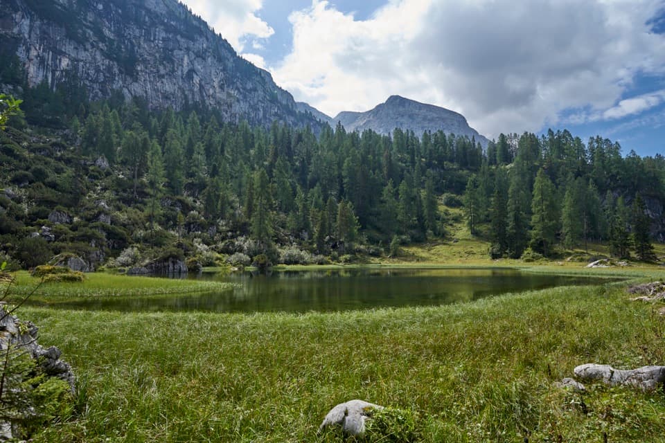 ChallengingHalsköpfl – Wasseralm-Runde17.2 km · 8.5 hr · 4.3 km awayA long alpine circuit with a broad view over Königssee
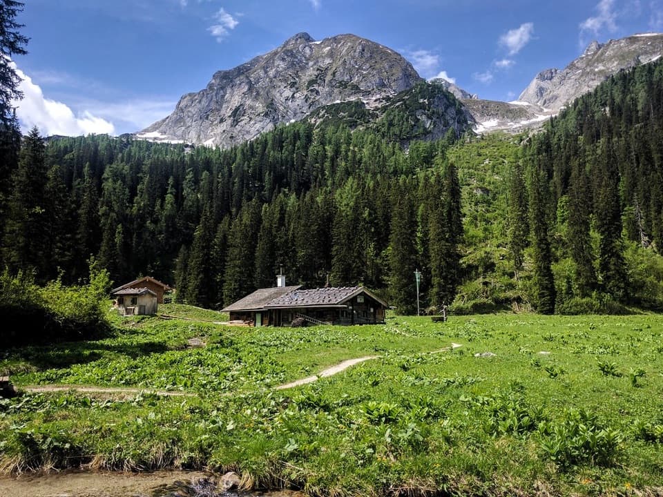 ChallengingWasseralm via Landtalsteig16.7 km · 7 hr · 4.3 km awayA steep, boat-served 10.4-mile climb to Wasseralm and back.
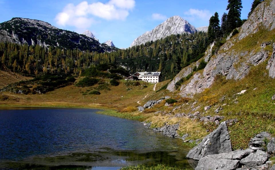 Lodging · At the trailheadKärlingerhausA high-alpine hut beside Funtensee, reached only on foot.
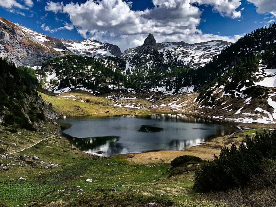 Sight · At the trailheadFuntenseeA high alpine lake with a famously cold basin, reached on foot.
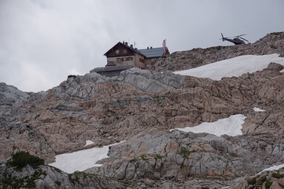 Lodging · 3.8 km awayIngolstädter HausA high-alpine hut for long climbs and Steinernes Meer nights.
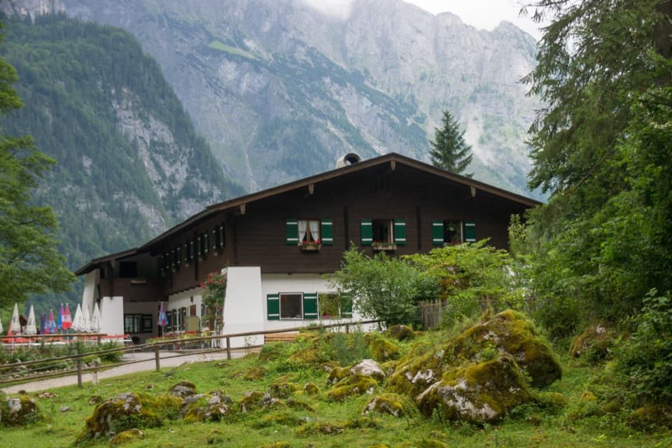 Restaurant · 4.1 km awaySaletalmLunch before the Obersee walk, with a beer garden under limestone cliffs.
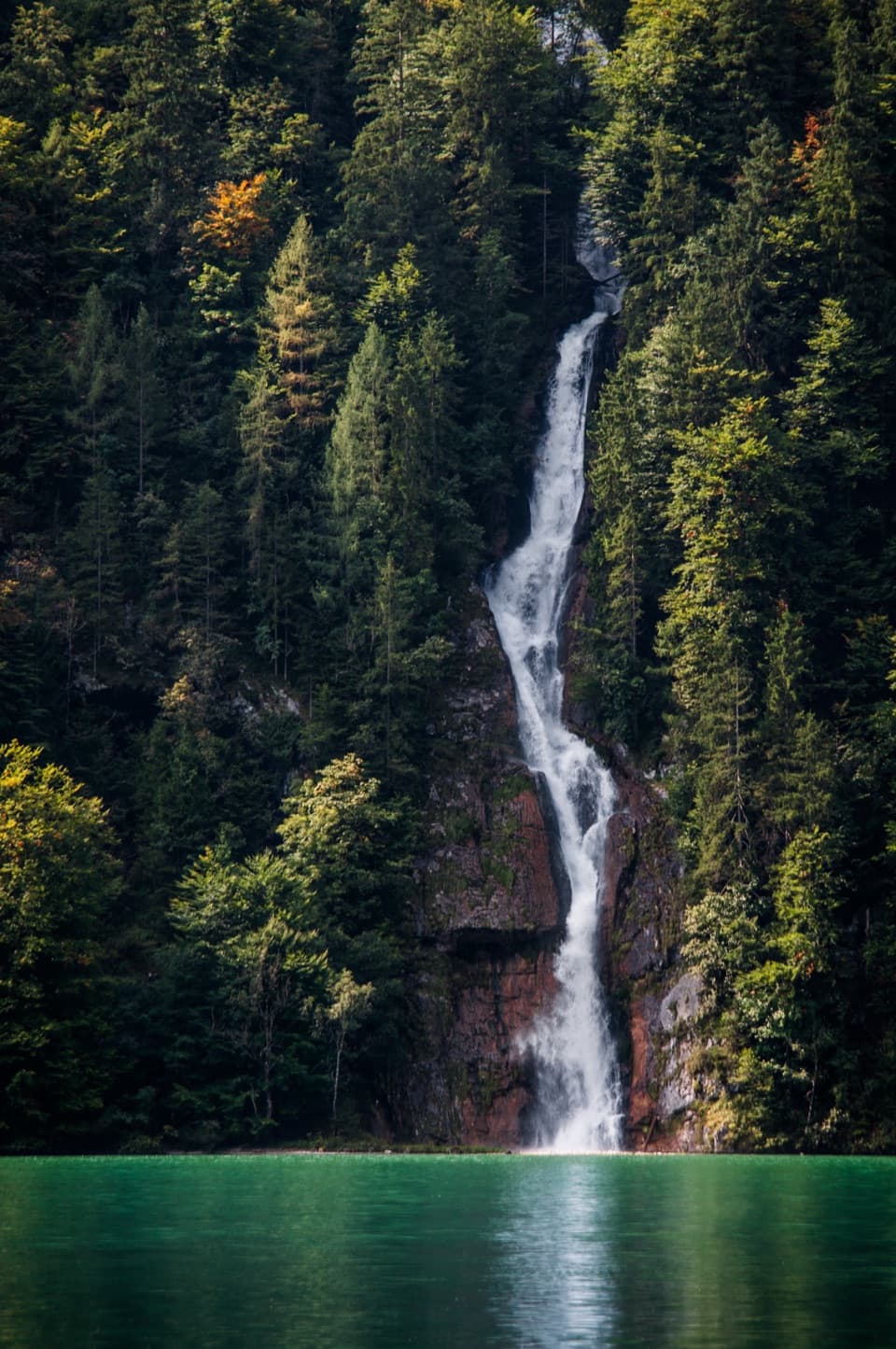 Sight · 4.3 km awaySchrainbach WaterfallA 30-minute walk from St. Bartholomä reaches the 80-meter falls.Sight · 4.4 km awayOberseeAn emerald lake with a mountain wall and waterfall behind it.
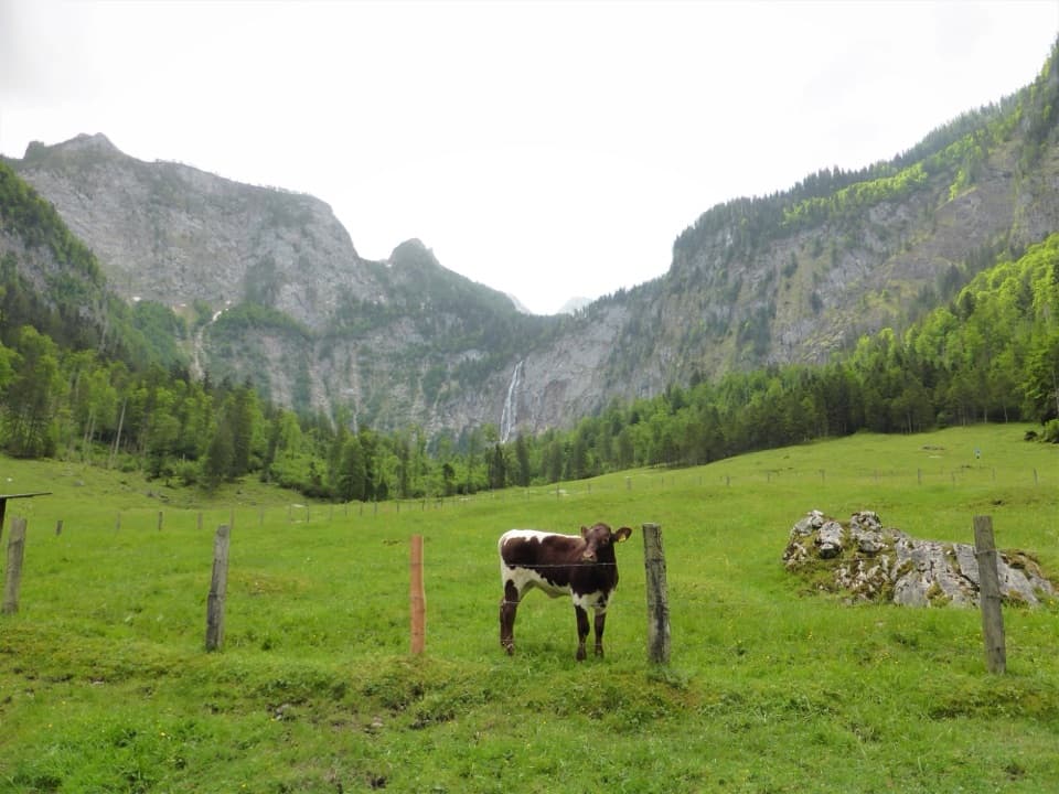 Restaurant · 4.8 km awayFischunkelalmA dairy stop on Obersee’s far shore, reached by boat and trail.Lodging · 5.2 km awayWasseralmA simple hut night deep in the Königssee backcountry.
Parkwolf’s Berchtesgaden ranking

The audio tour guide for the drive, plus offline maps, trails, and wildlife heatmaps for when the signal drops.





